
Find Areas
By Prefecture
|
By Map
|
By Keyword
Find Routes
Top 100 Routes
|
Popular Routes by Area
|
Filter Routes
|
By Keyword
By Tag
|
By First Ascensionist
Timeline
Photos & Videos
Ascent Logs
Trip Reports
Find Users
Login
日本語
English
한국어
中文(简体)
中文(繁體)
山梨県
金峰山 鷹見岩
金峰山駐車場
Tweet
情報提供
情報提供方法の選択
使い方
情報の登録・更新には
ログイン
が必要です。
アカウントのない方は
アカウント作成
してください。
How to Use
金峰山駐車場
Get Directions to Parking
Basic Info
Location
山梨県
/
金峰山 鷹見岩
Location
My Location
Rain Radar
0分後
View on Google Maps
Accessible Crags
鷹見岩南東稜末端壁 南山稜の取り付きから、さらに岩場に向かって右奥に展開する岩壁群。 2-3ピッチ規模の複数のピナクル状の壁によって構成される岩場。山深い雰囲気の中で静かなクライミングが楽しめる。 サミットリッジ取付きから、さらに奥に伸びる踏み跡をたどり、尾根を跨いで200mほど水平トラバースし、涸沢に出たら涸沢左岸の尾根状を5分ほど登ると岩場取付き。 サミットリッジ取付きから15分程度 金峰山 鷹見岩
35.87834080376345
138.5980224609375
0
0
0
0
3
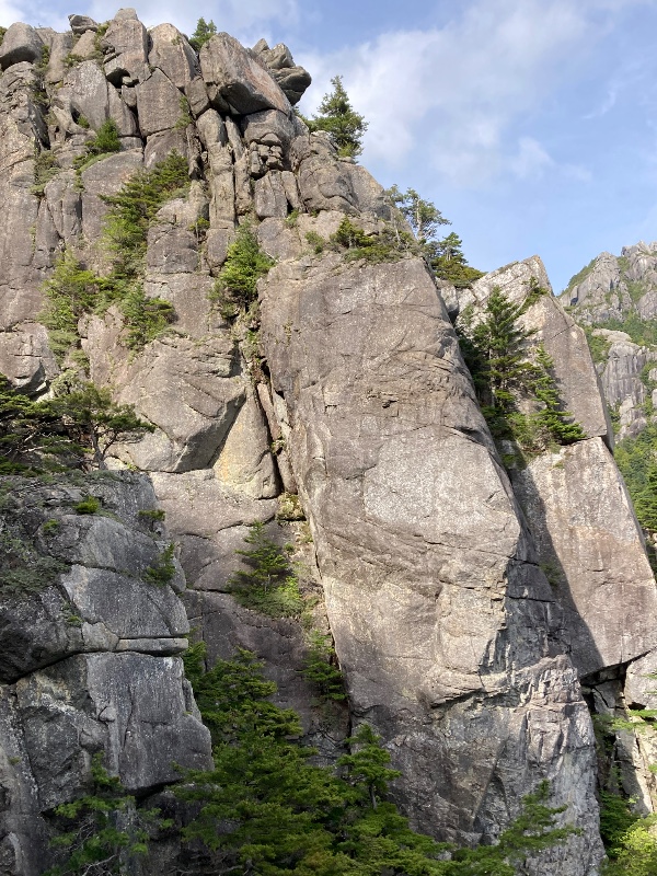
鷹見岩南東稜末端壁
金峰山 鷹見岩
タイプ別:
M
3
難易度別:
E
1
M
2
金峰山鷹見岩南山稜 金峰山登山道を進み鷹見岩の分岐から岩の基部に向かって降りる。 取り付きは洞窟の中。 金峰山 鷹見岩
35.87834080376345
138.5980224609375
0
0
0
0
1
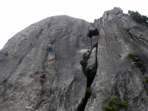
金峰山鷹見岩南山稜
金峰山 鷹見岩
タイプ別:
M
1
難易度別:
M
1
駐車場から:
遠い
2721.6665266425936
Loading...
Nearby Crags
Log Ascent
×
Create / Update Record
You need to
log in
to add or edit information. Don't have an account?
Sign up
.
Loading...
Getting location...
Loading...
Add / Edit Information
You need to
log in
to add or edit information. Don't have an account?
Sign up
.