
情報提供
How to Use
クラック状岩・でかい岩
Checked in at 下仁田ボルダー today:
0
Basic Info
| Area Info | 群馬県 / 下仁田ボルダー |
|---|---|
| GPS Location | 36.219463327877094,138.79840275554506 |
| Elevation |
Approx. 206 m
Parking Elevation Approx. 219 m(Diff:-13 m) |
| Distance from Parking | 67 m |
| Favorites |
1
|
 なこ
Route Distribution
Tap the bar chart to view routes for each grade.
ボルダー(6 routes)⭐Recommended Routes
Sign in to get more
- Automatic route recommendations matched to your grade, based on your ascents
- Log your ascents and track your progress with charts
- Save favorite crags and routes, and view topos offline
Routes
Tap red lines to show the route card
-
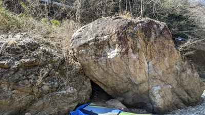
-
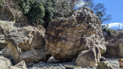
でかい岩
-
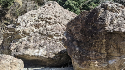
Loading...
動画
-
※自動抽出の動画
-
※自動抽出の動画
-
※自動抽出の動画
Nearby Crags
ドラム缶岩
下仁田ボルダー
36.219398717736254
138.79849087008608
0
8
0
0
0
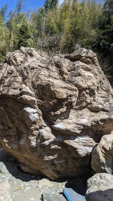
ドラム缶岩
- 下仁田ボルダー
- タイプ別: B8
- 標高: 約 206 m
- 駐車場から: 近め -2.98177090665991875
上等岩・鮎岩とその周辺
下仁田ボルダー
36.21912563522966
138.798674345092
1
13
0
0
0
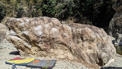
上等岩・鮎岩とその周辺
1
- 下仁田ボルダー
- タイプ別: B13
- 標高: 約 210 m
- 駐車場から: 近め -2.7695149297545474
橋の下岩
下仁田ボルダー
36.21884853325705
138.79870825108574
1
13
0
0
0
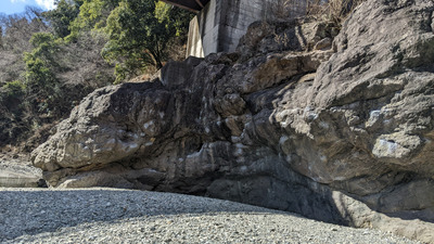
橋の下岩
1
- 下仁田ボルダー
- タイプ別: B13
- 標高: 約 208 m
- 駐車場から: 近め -4.0349153967539835
Loading...
 Tap the Share button (a square with an arrow) at the bottom of the screen. If you can't find it, tap "…" and select "Share"