情報提供
How to Use
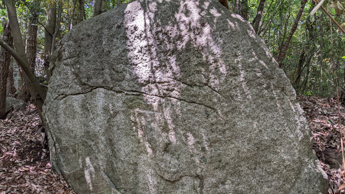
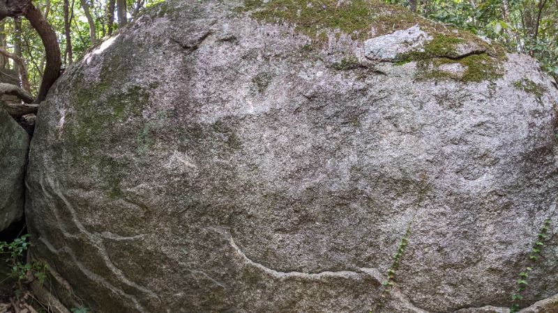
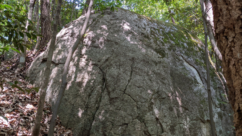
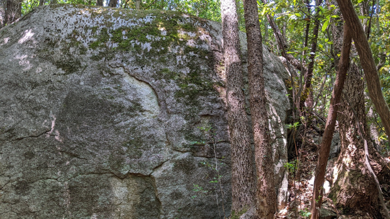
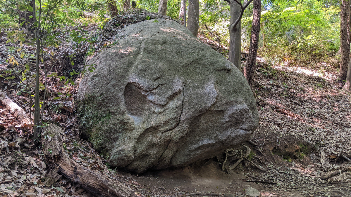
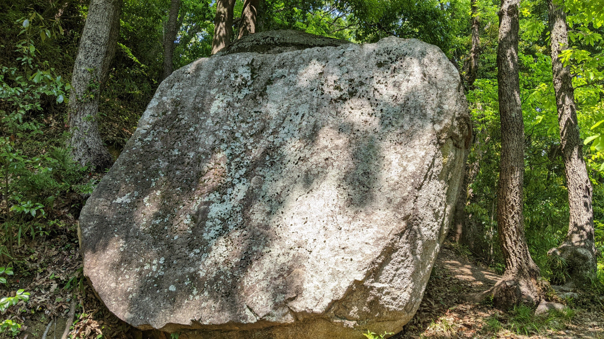
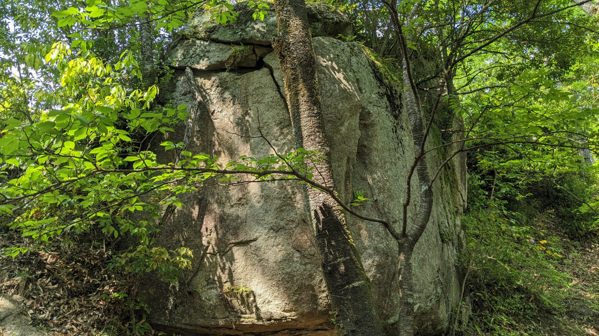
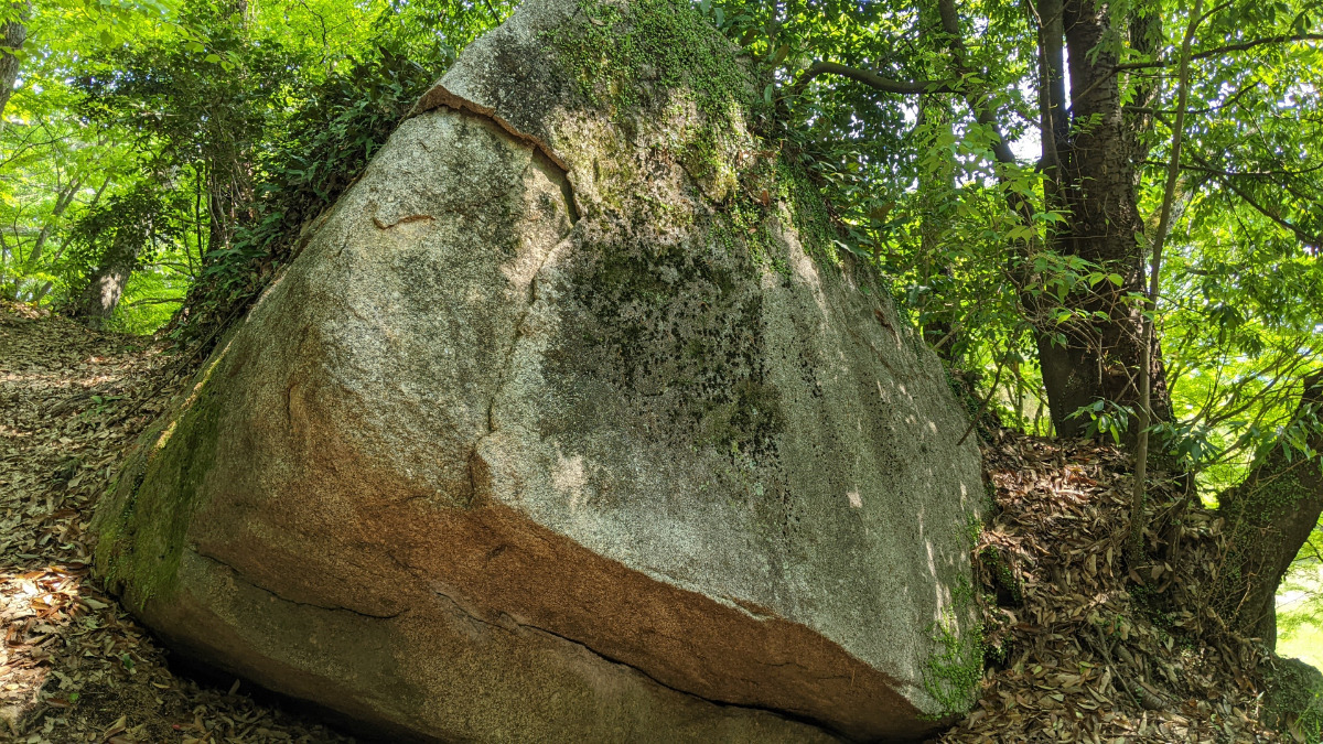
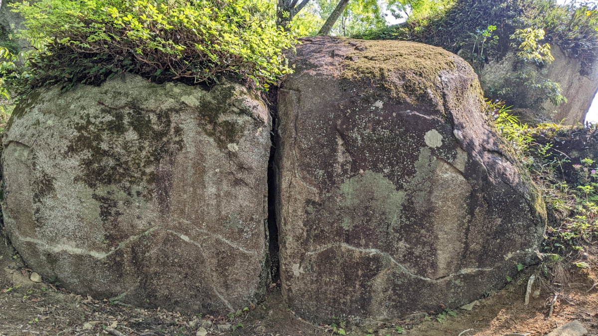
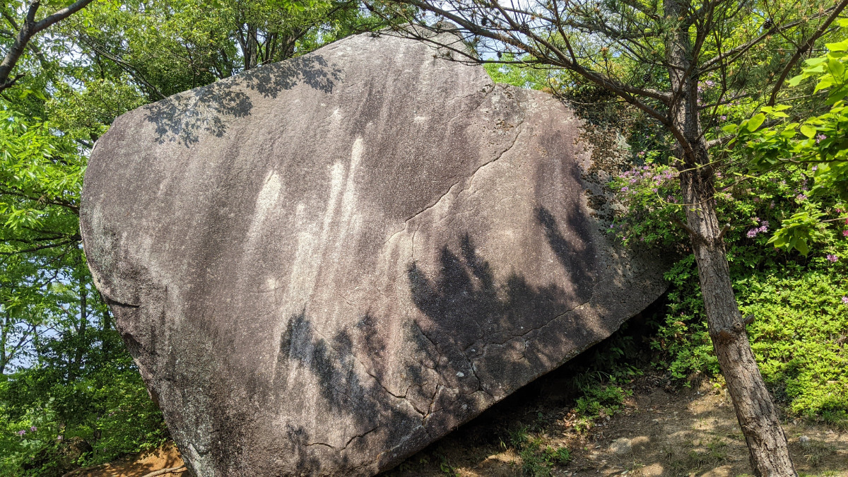
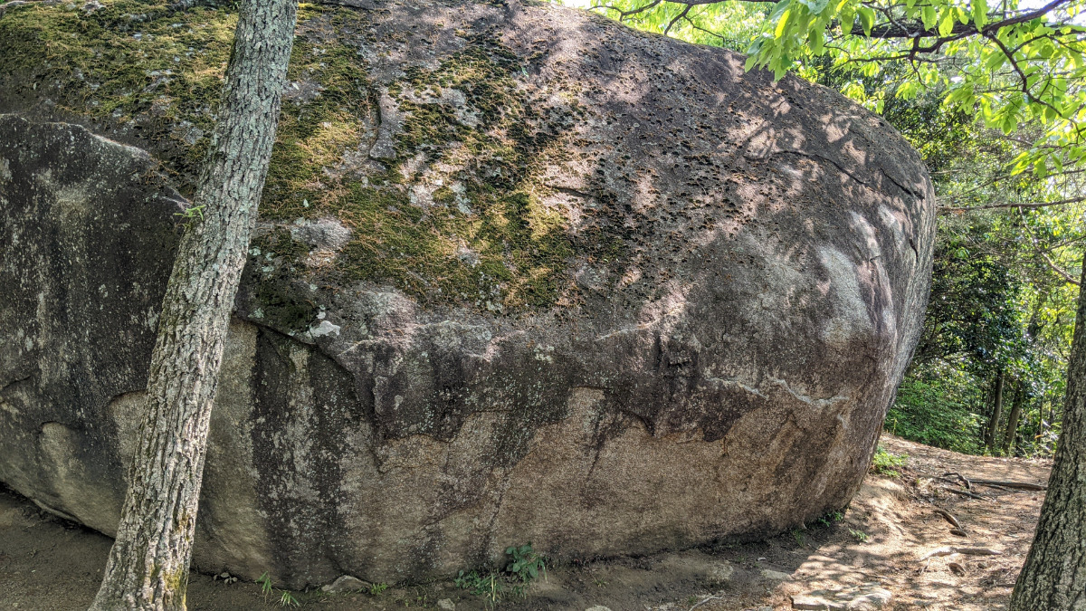
堀切付近の岩
Basic Info
| Area Info | 愛知県 / 豊田 大給城址エリア / |
|---|---|
| GPS Location | 35.053231975250945,137.22889377032465 |
| Elevation |
Approx. 184 m
Parking Elevation Approx. 164 m(Diff:20 m) |
| Distance from Parking | 257 m |
Route Distribution
Tap the bar chart to view routes for each grade.
ボルダー(13 routes)Routes
Tap red lines to show route name and grade
-

マーマレードの岩
-
Nポイントの岩
-
ランナーの岩
-
簡単
4~3級
2~1級
~三段
Loading...
Comments
No comments yet.
Post CommentNearby Crags
月面岩の周辺
豊田
大給城址エリア
35.05332924383836
137.22808074906257
0
11
0
0
0
月面岩の周辺
- 豊田 / 大給城址エリア
- タイプ別: B11
- 難易度別: E8 M3
- 駐車場から: 近め 28.854037935546981
たまご岩の周辺
豊田
大給城址エリア
35.053250550740835
137.2277080566437
0
13
0
0
0
たまご岩の周辺
- 豊田 / 大給城址エリア
- タイプ別: B13
- 難易度別: E13
- 駐車場から: 近め 31.6520871013242465
ピンポンパン岩
豊田
大給城址エリア
35.05332197604169
137.2274167715621
0
3
0
0
0

ピンポンパン岩
- 豊田 / 大給城址エリア
- タイプ別: B3
- 難易度別: E3
- 駐車場から: 近め 45.7735356479846016
ボクサー岩
豊田
大給城址エリア
35.05325178747828
137.226967568749
0
4
2
0
0
ボクサー岩
- 豊田 / 大給城址エリア
- タイプ別: B4 F2
- 難易度別: E4 M2
- 駐車場から: 近め 41.3537825532926592
鯉のぼり周辺の岩
鯉のぼりの岩、猫の岩、ポールロック、ポールロック裏面、ふりかけ岩、メチルの岩
豊田
大給城址エリア
35.053033198872846
137.22695404335963
0
20
0
0
0
鯉のぼり周辺の岩
- 豊田 / 大給城址エリア
- タイプ別: B20
- 難易度別: E11 M7 H2
- 駐車場から: 近め 21.9218229459910578
金槌岩・お散歩岩
豊田
大給城址エリア
35.053456125026294
137.22689050982595
0
6
0
0
0
金槌岩・お散歩岩
- 豊田 / 大給城址エリア
- タイプ別: B6
- 難易度別: E5 M1
- 駐車場から: 近め 47.6211306416548824
ダイヤモンドスラブ・ピクニックの岩
豊田
大給城址エリア
35.05339954921743
137.22672639127305
1
9
0
0
0
ダイヤモンドスラブ・ピクニックの岩
1
- 豊田 / 大給城址エリア
- タイプ別: B9
- 難易度別: E6 M1 H2
- 駐車場から: 近め 38.1969273288109416
ティータイム岩・駒鳥ロック
豊田
大給城址エリア
35.05362762666639
137.2267609660176
0
11
0
0
0
ティータイム岩・駒鳥ロック
- 豊田 / 大給城址エリア
- タイプ別: B11
- 難易度別: E8 M1 H2
- 駐車場から: 近め 35.5721390621483172
Loading...
×