情報提供
How to Use
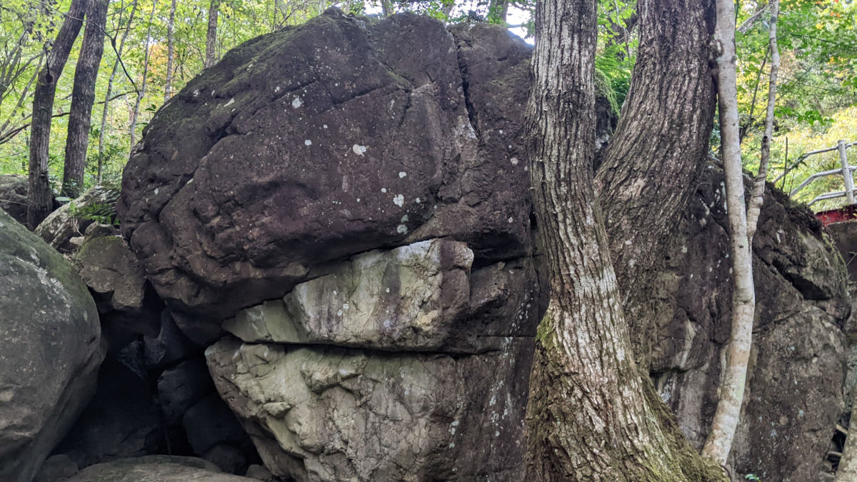
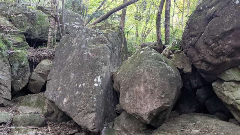
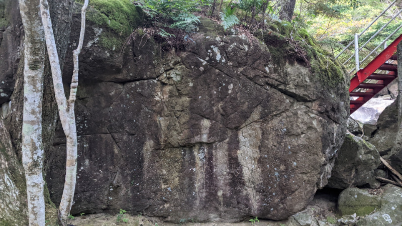
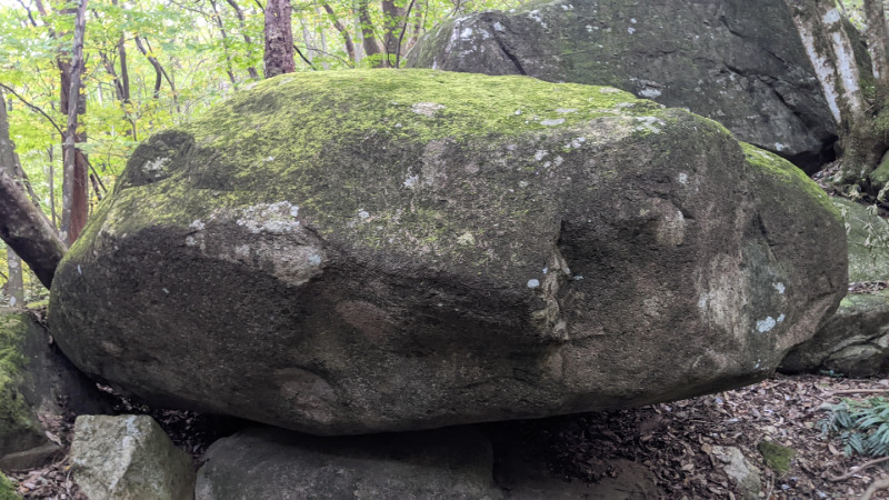
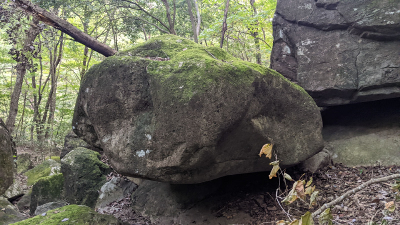
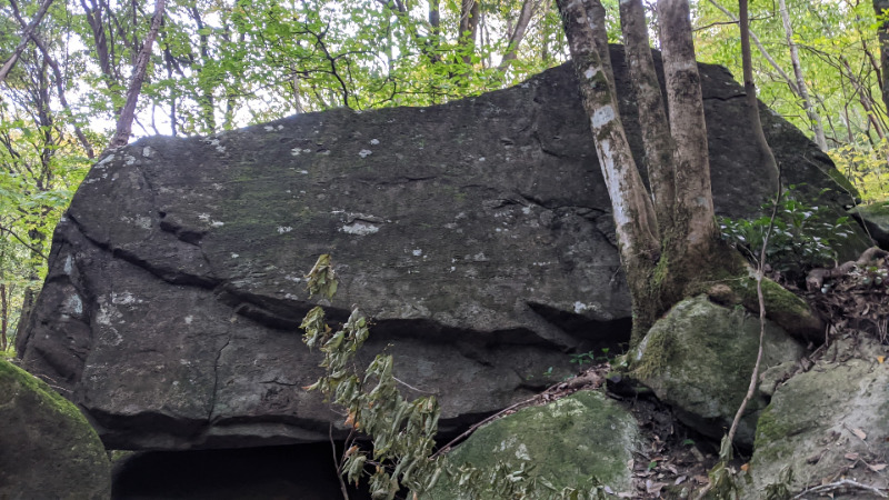
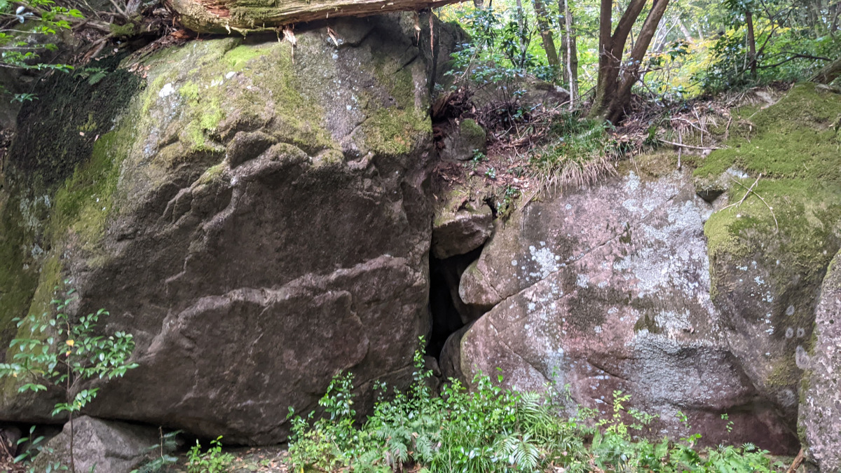
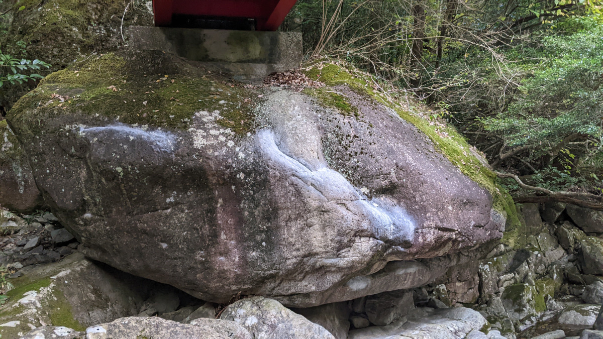
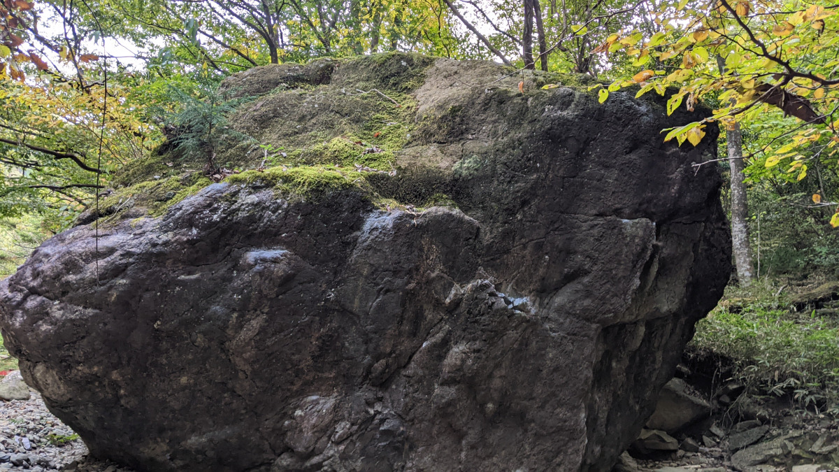
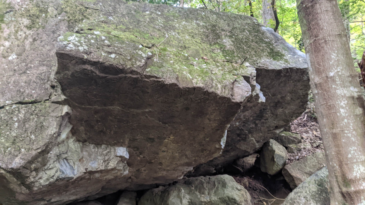
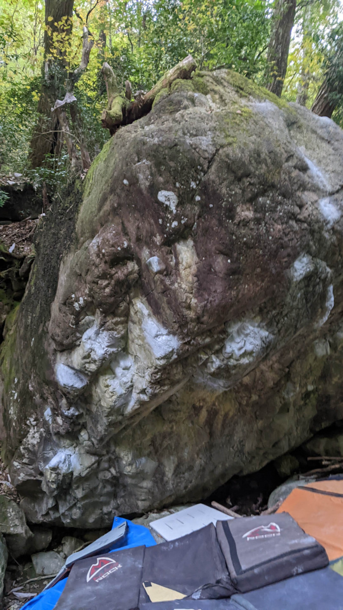
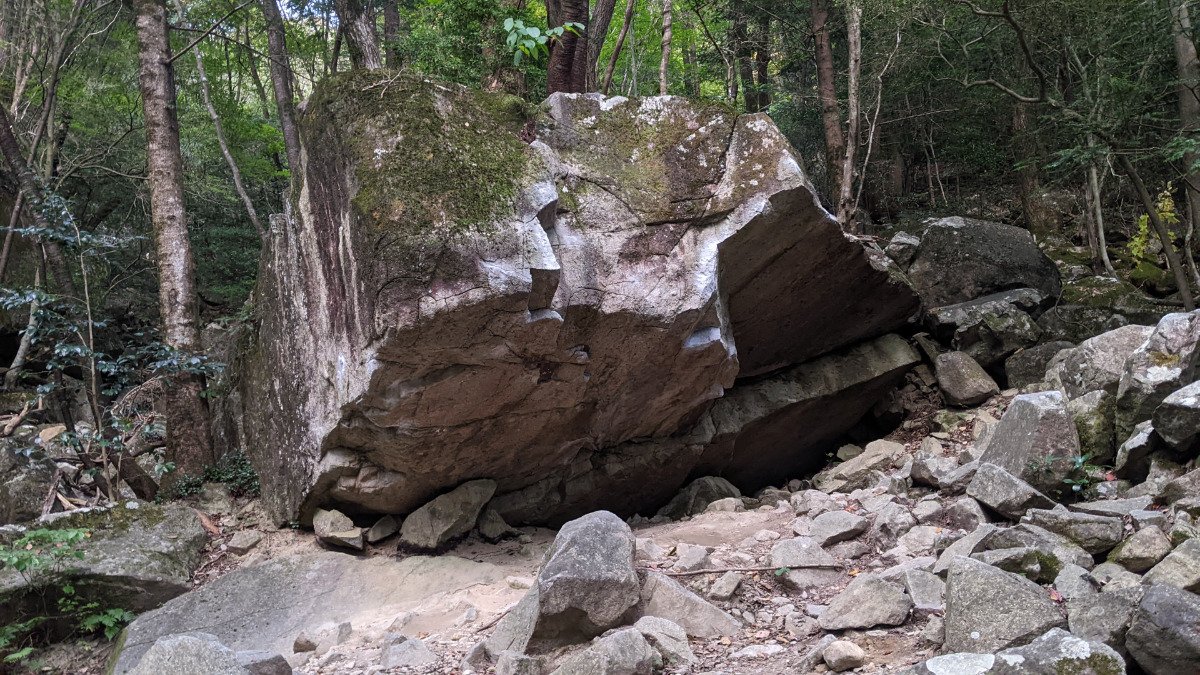
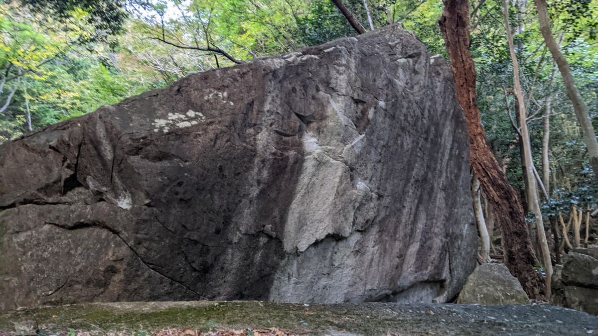
ぎっくり岩・かかと岩・橋向こうスラブ
Basic Info
| Area Info | 岐阜県 / フクベ 下流エリア / |
|---|---|
| GPS Location | 35.62541557889269,136.89066577225898 |
| Elevation |
Approx. 421 m
Parking Elevation Approx. 716 m(Diff:-295 m) |
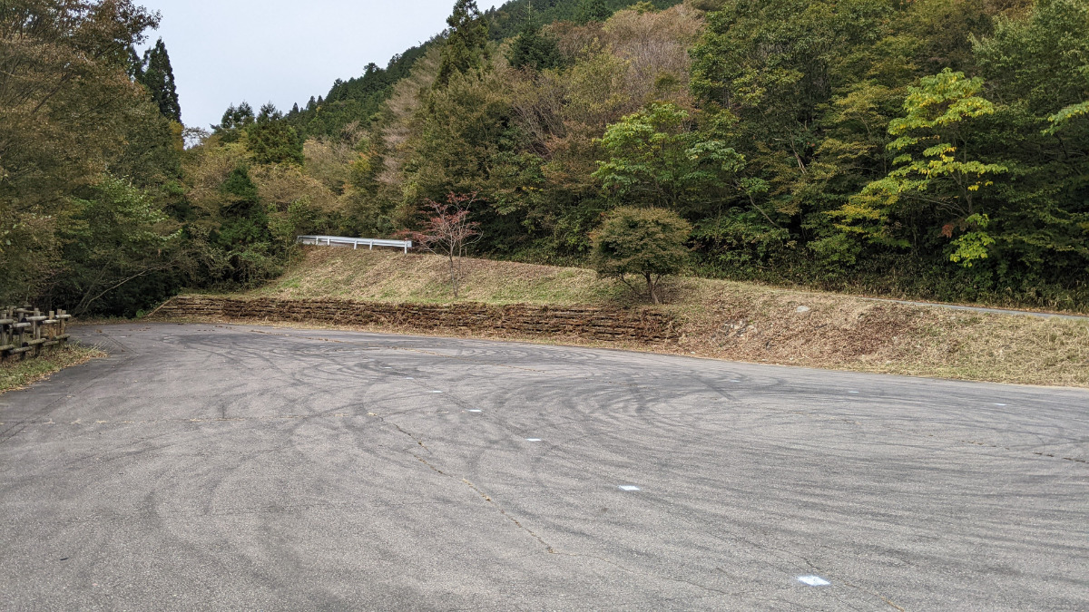
| Distance from Parking | 1624 m |
Route Distribution
Tap the bar chart to view routes for each grade.
ボルダー(5 routes)Routes
Tap red lines to show route name and grade
-
橋向こうスラブ
-

ぎっくり岩
-
-
かかと岩
-
-
簡単
4~3級
2~1級
~三段
Loading...
動画
-
※自動抽出の動画
Comments
No comments yet.
Post CommentNearby Crags
無名岩
フクベ
下流エリア
35.625608
136.8907042
0
2
0
0
0
無名岩
- フクベ / 下流エリア
- タイプ別: B2
- 難易度別: E1 M1
- 駐車場から: 登り返し有 -1409.654418100353678
土台岩・中洲の岩・肩掛け岩
フクベ
下流エリア
35.6254309
136.8909205
0
7
0
0
0
土台岩・中洲の岩・肩掛け岩
- フクベ / 下流エリア
- タイプ別: B7
- 難易度別: E3 M4
- 駐車場から: 登り返し有 -1455.242964628930368
かやの岩・テツの岩
フクベ
下流エリア
35.6255598
136.8903763
1
10
0
0
0
かやの岩・テツの岩
1
- フクベ / 下流エリア
- タイプ別: B10
- 難易度別: E2 M5 H3
- 駐車場から: 登り返し有 -1393.44935371939452
ムカデ岩
フクベ
下流エリア
35.6257337
136.8907854
0
4
0
0
0
ムカデ岩
- フクベ / 下流エリア
- タイプ別: B4
- 難易度別: M3 H1
- 駐車場から: 登り返し有 -1365.987813217064466
蛙岩の周辺
フクベ
下流エリア
35.625251705518274
136.89107607364537
0
10
0
0
0
蛙岩の周辺
- フクベ / 下流エリア
- タイプ別: B10
- 難易度別: E3 M6 H1
- 駐車場から: 登り返し有 -1490.621472054300411
マッスル岩・ハッスル岩
フクベ
下流エリア
35.6243945
136.8929455
1
15
0
0
0
マッスル岩・ハッスル岩
1
- フクベ / 下流エリア
- タイプ別: B15
- 難易度別: E3 M5 H7
- 駐車場から: 登り返し有 -1490.026979136218187
小鯰岩
フクベ
かやの滝エリア
35.6286115
136.8917369
0
0
0
0
0

小鯰岩
- フクベ / かやの滝エリア
- 駐車場から: 登り返し有 -951.167246019841215
くもん岩
フクベ
下流エリア
35.6225017
136.8935276
0
3
0
0
0
くもん岩
- フクベ / 下流エリア
- タイプ別: B3
- 難易度別: M2 H1
- 駐車場から: 登り返し有 -1940.933085867031368
Loading...
×