情報提供
How to Use

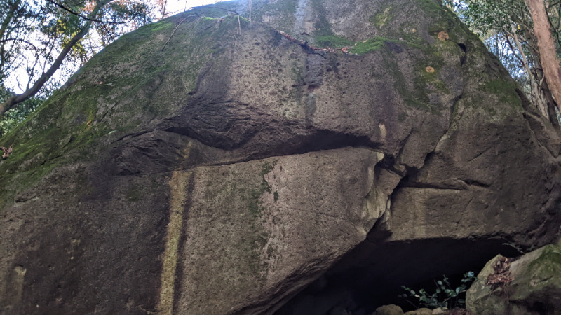
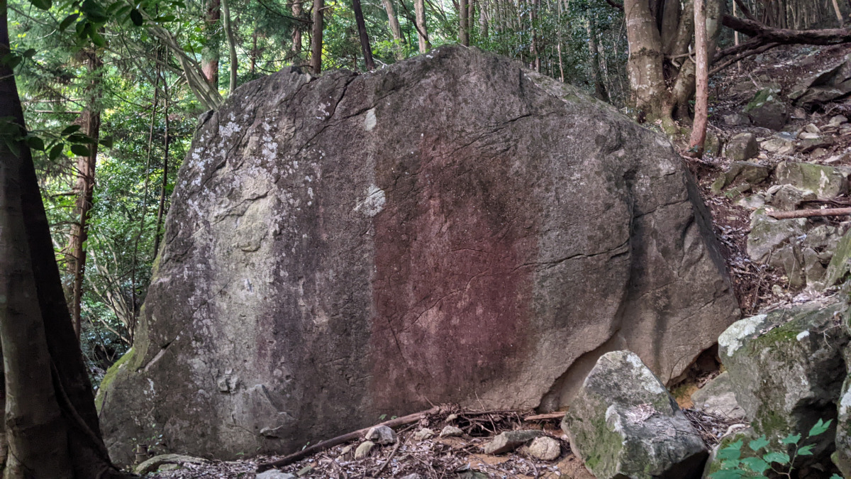
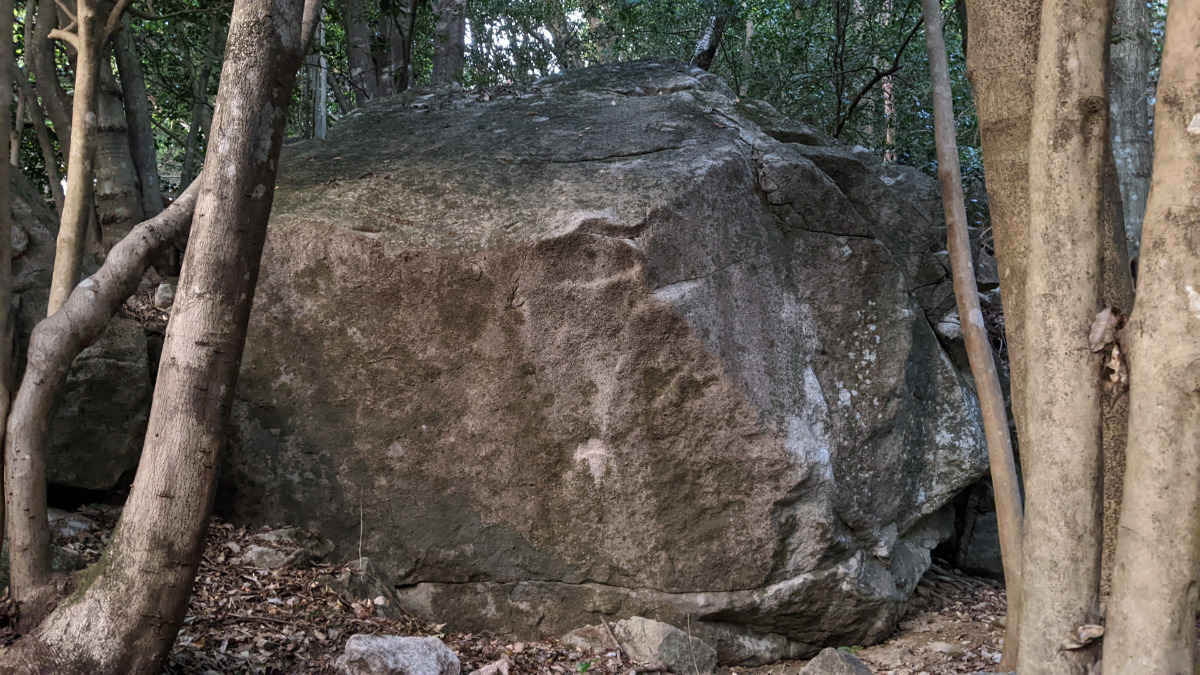
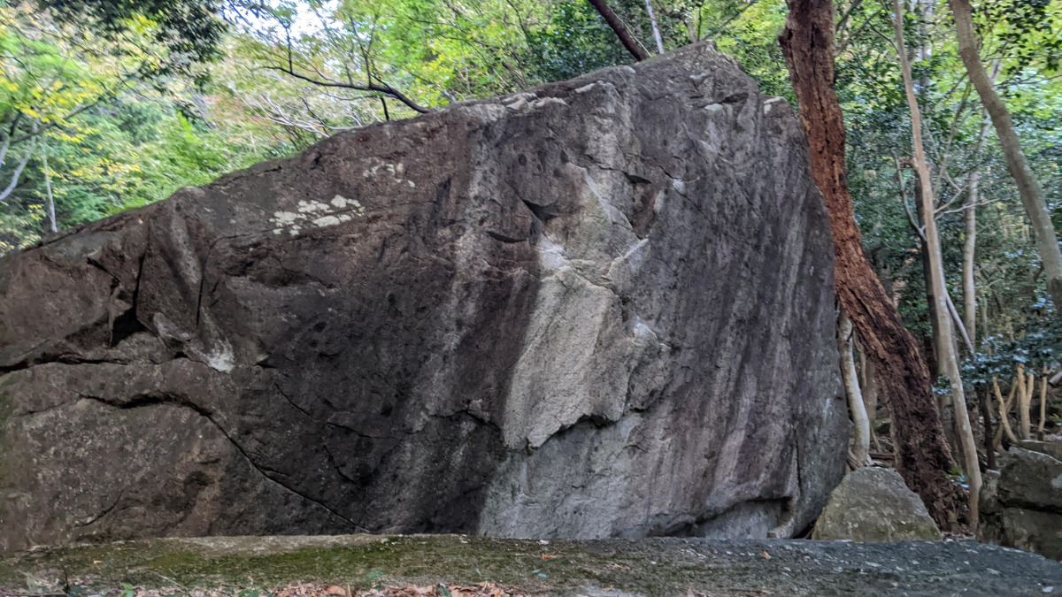
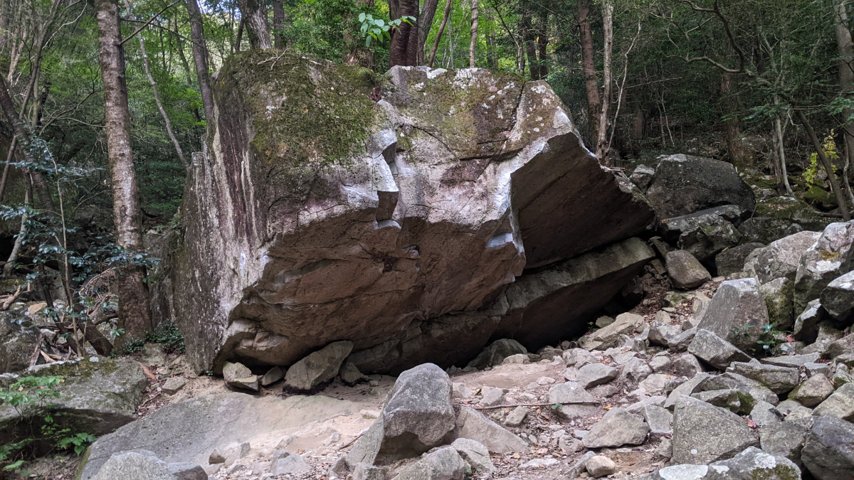
シエ
Basic Info
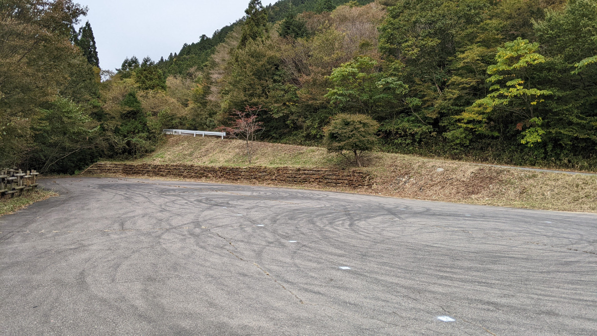
| Area Info | 岐阜県 / フクベ 下流エリア / |
|---|---|
| GPS Location | 35.6207397,136.894172 |
| Elevation |
Approx. 418 m
Parking Elevation Approx. 716 m(Diff:-298 m) |
| Distance from Parking | 2214 m |
Route Distribution
Tap the bar chart to view routes for each grade.
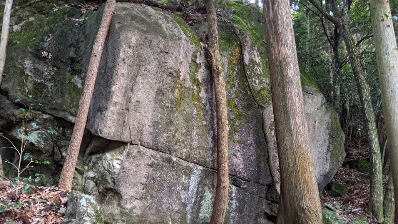
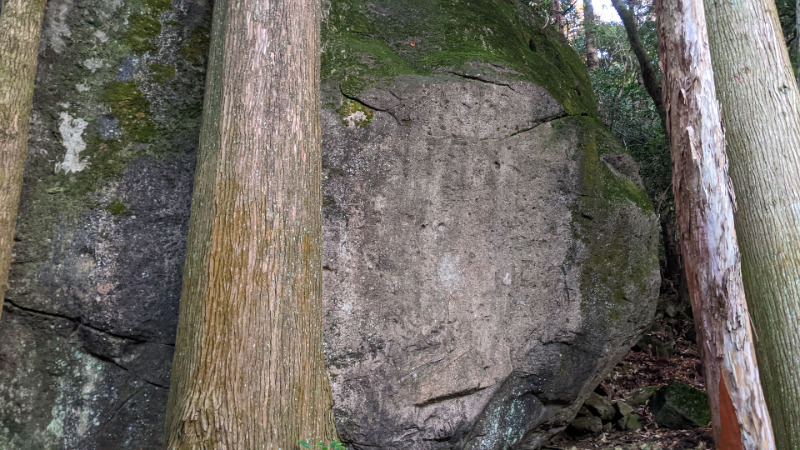
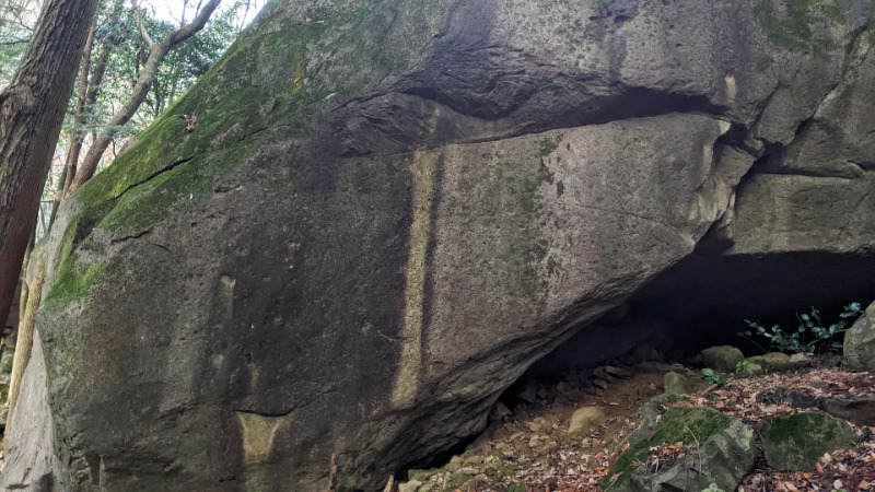
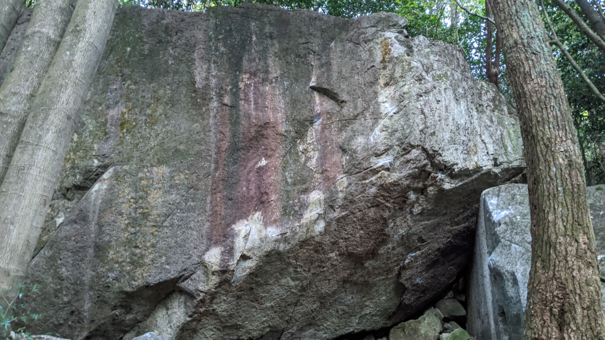
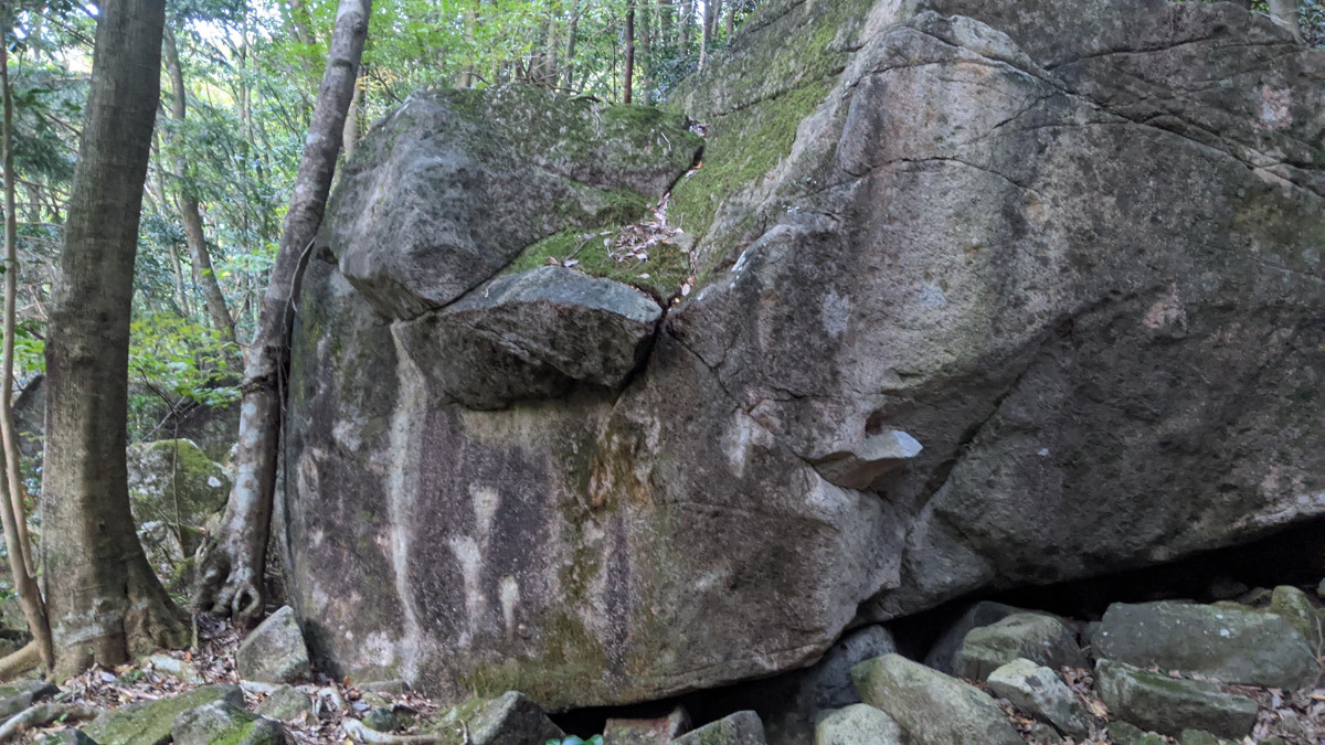
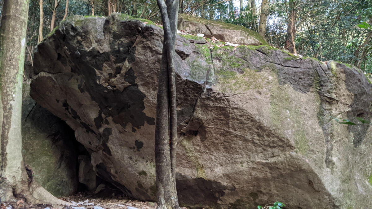
ボルダー(11 routes)Routes
Tap red lines to show route name and grade
簡単
4~3級
2~1級
~三段
Loading...
動画
-
※自動抽出の動画
-
※自動抽出の動画
-
※自動抽出の動画
-
※自動抽出の動画
Comments
No comments yet.
Post CommentNearby Crags
やぶ岩
フクベ
下流エリア
35.6206544
136.8945857
0
2
0
0
0
やぶ岩
- フクベ / 下流エリア
- タイプ別: B2
- 難易度別: H2
- 駐車場から: 登り返し有 -1924.38631024307325
フリードロック
フクベ
下流エリア
35.6208125
136.8935474
0
2
0
0
0
フリードロック
- フクベ / 下流エリア
- タイプ別: B2
- 難易度別: M2
- 駐車場から: 登り返し有 -2159.781832263420582
チビ岩
フクベ
下流エリア
35.6206801
136.8932396
0
3
0
0
0

チビ岩
- フクベ / 下流エリア
- タイプ別: B3
- 難易度別: E1 M2
- 駐車場から: 登り返し有 -2244.516249177270354
ほおば岩
フクベ
下流エリア
35.6200262
136.8945029
0
4
0
0
0
ほおば岩
- フクベ / 下流エリア
- タイプ別: B4
- 難易度別: M2 H2
- 駐車場から: 登り返し有 -2047.985220839827995
ネリンガ岩
フクベ
下流エリア
35.6220823
136.8937452
0
1
0
0
0
ネリンガ岩
- フクベ / 下流エリア
- タイプ別: B1
- 難易度別: M1
- 駐車場から: 登り返し有 -2008.321514851743
ケーキ岩
フクベ
下流エリア
35.6224044
136.8939359
0
3
0
0
0
ケーキ岩
- フクベ / 下流エリア
- タイプ別: B3
- 難易度別: M3
- 駐車場から: 登り返し有 -1920.12412458276081
くもん岩
フクベ
下流エリア
35.6225017
136.8935276
0
3
0
0
0
くもん岩
- フクベ / 下流エリア
- タイプ別: B3
- 難易度別: M2 H1
- 駐車場から: 登り返し有 -1940.933085867031368
マッスル岩・ハッスル岩
フクベ
下流エリア
35.6243945
136.8929455
1
15
0
0
0
マッスル岩・ハッスル岩
1
- フクベ / 下流エリア
- タイプ別: B15
- 難易度別: E3 M5 H7
- 駐車場から: 登り返し有 -1490.026979136218187
Loading...
×