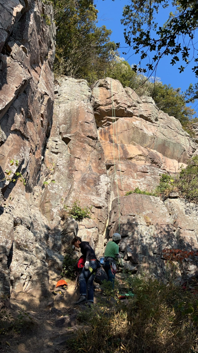
紅ノ峰 メインエリア/ゴンちゃん

紅ノ峰 メインエリア/鶴仙人

紅ノ峰 メインエリア/春が来た

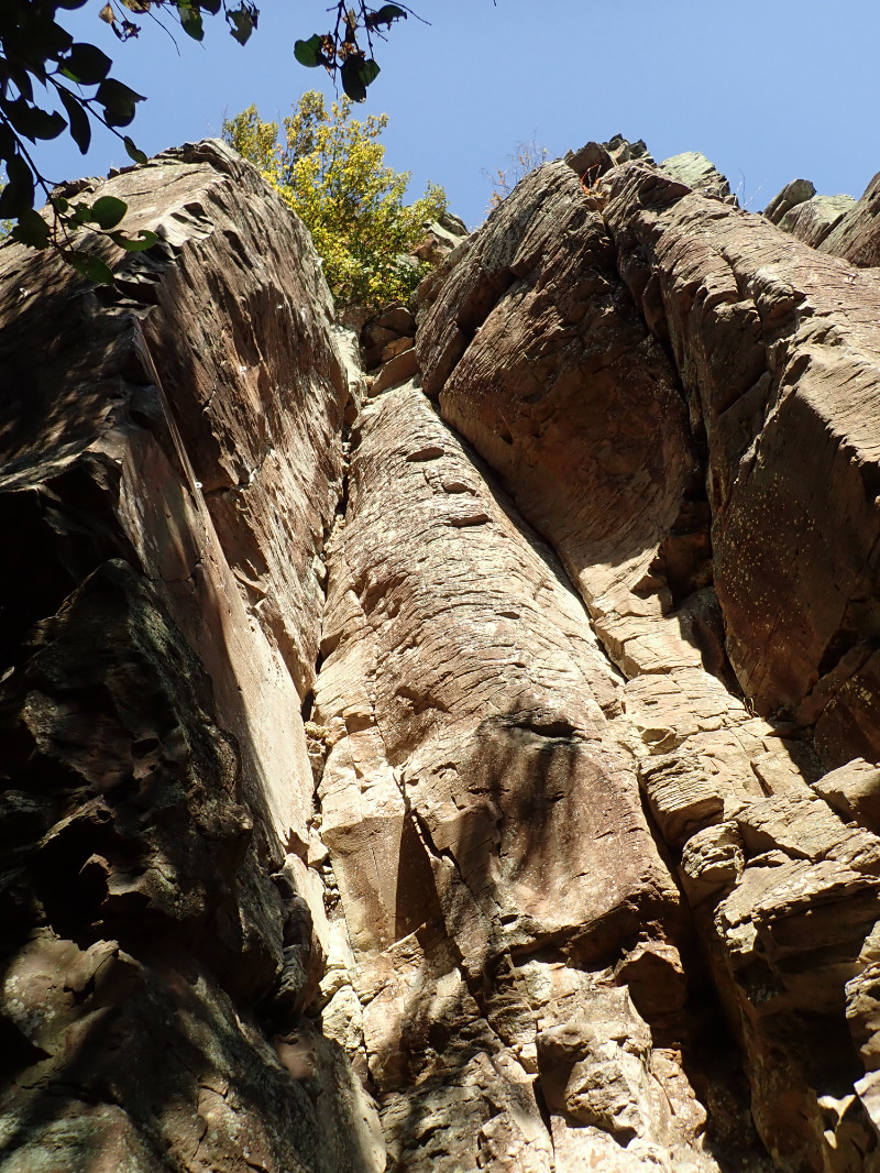
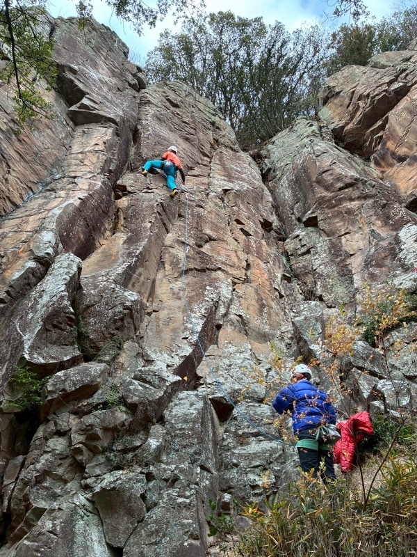
紅ノ峰 メインエリア/えらいこっちゃハング
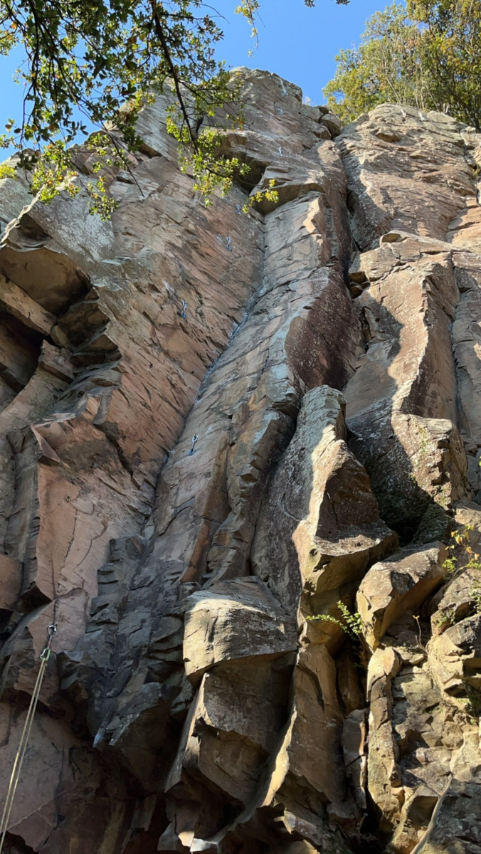
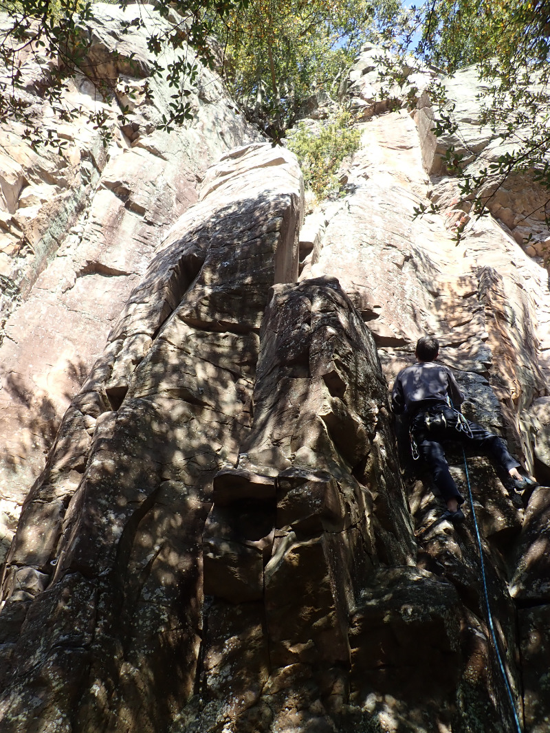
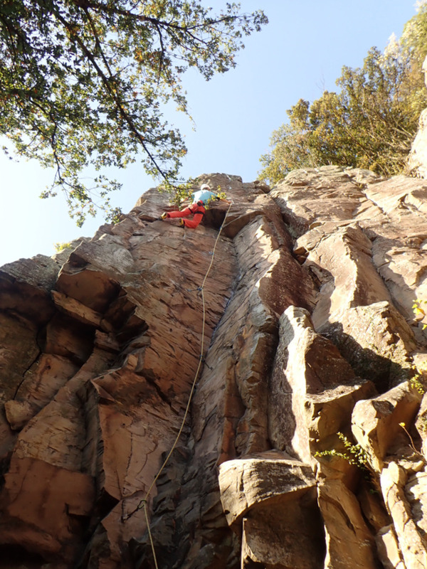
紅ノ峰 メインエリア/レッドクリフ
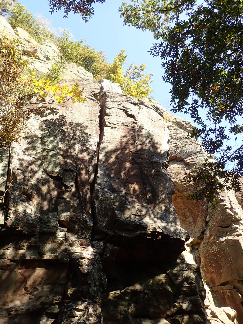
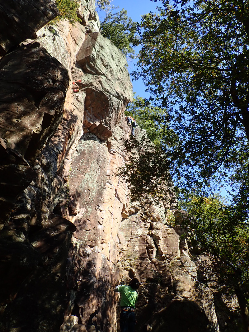
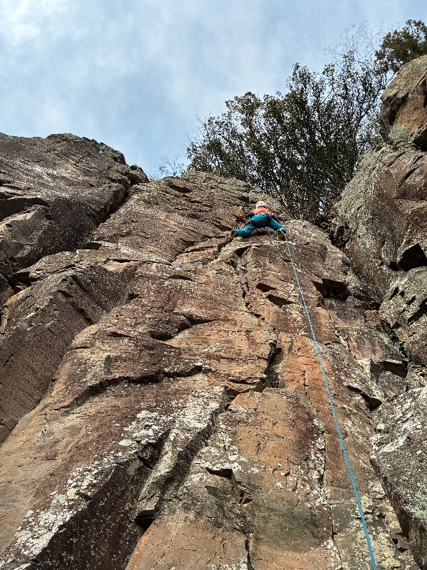
紅ノ峰 メインエリア/オーメン

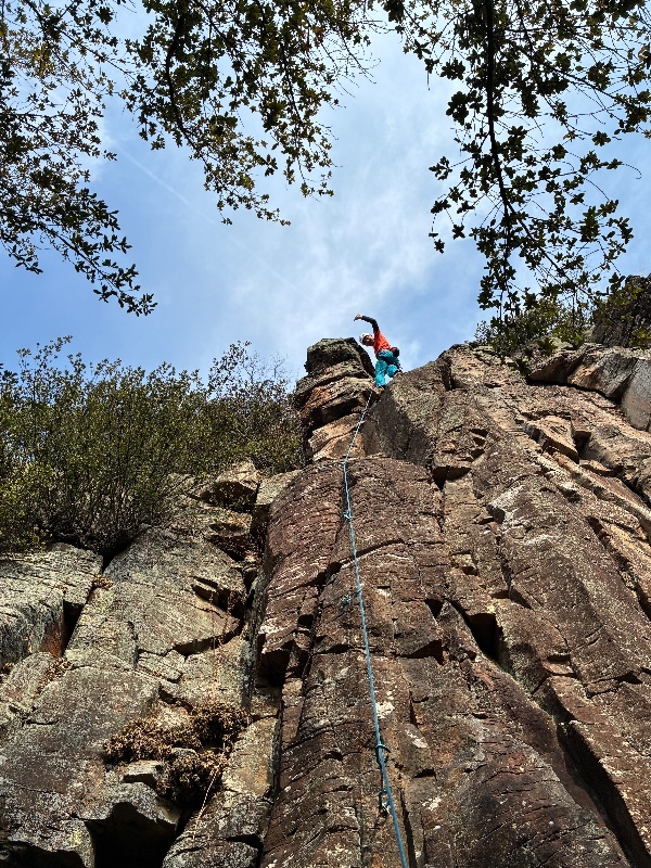
紅ノ峰 メインエリア/スーパードラゴン
紅ノ峰 メインエリア/レッドクリフ
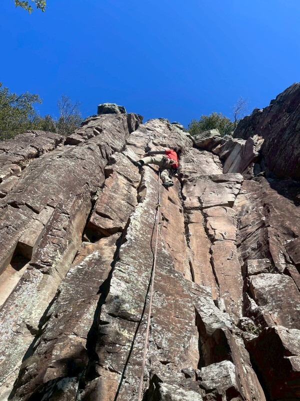
紅ノ峰 メインエリア/ジャンプ

紅ノ峰 メインエリア/えらいこっちゃハング

.jpg)