
情報提供
How to Use
一本桜岩
Checked in at 瑞牆山ボルダー today:
0
Basic Info
| Area Info | 山梨県 / 瑞牆山ボルダー 植樹祭エリア付近 / |
|---|---|
| GPS Location | 35.89825,138.57804 |
| Elevation |
Approx. 1547 m
Parking Elevation Approx. 1471 m(Diff:76 m) |
| Distance from Parking | 473 m |
Route Distribution
Tap the bar chart to view routes for each grade.
ボルダー(6 routes)⭐Recommended Routes
Sign in to get more
- Automatic route recommendations matched to your grade, based on your ascents
- Log your ascents and track your progress with charts
- Save favorite crags and routes, and view topos offline
Routes
Tap red lines to show the route card
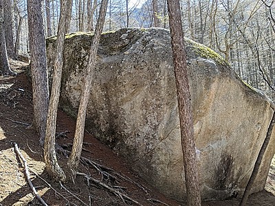
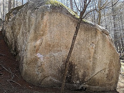

Loading...
動画
-
※自動抽出の動画
-
※自動抽出の動画
-
※自動抽出の動画
-
※自動抽出の動画
Nearby Crags
夜岩・桃岩
瑞牆山ボルダー
植樹祭エリア付近
35.8985
138.57855
2
9
0
0
0
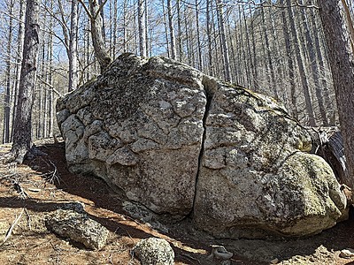
夜岩・桃岩
2
- 瑞牆山ボルダー / 植樹祭エリア付近
- タイプ別: B9
- 標高: 約 1561 m
- 駐車場から: 近め 142.157535549145875
千里岩
瑞牆山ボルダー
植樹祭エリア付近
35.89894
138.57853
0
6
0
0
0
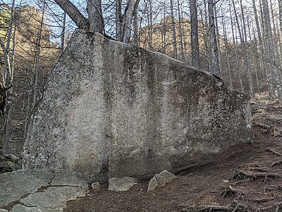
千里岩
- 瑞牆山ボルダー / 植樹祭エリア付近
- タイプ別: B6
- 標高: 約 1571 m
- 駐車場から: そこそこ 166.15805701802025
霞岩・泉岩
瑞牆山ボルダー
植樹祭エリア付近
35.89915
138.5778
0
7
0
0
0
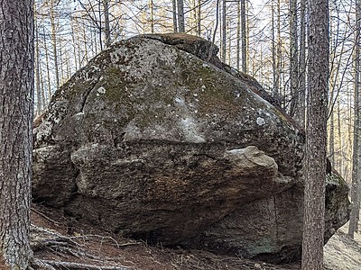
霞岩・泉岩
- 瑞牆山ボルダー / 植樹祭エリア付近
- タイプ別: B7
- 標高: 約 1551 m
- 駐車場から: 近め 124.777961573889192
東雲岩・有明岩・氷柱岩
瑞牆山ボルダー
植樹祭エリア付近
35.89905
138.57745
0
7
0
0
0
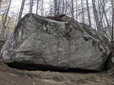
東雲岩・有明岩・氷柱岩
- 瑞牆山ボルダー / 植樹祭エリア付近
- タイプ別: B7
- 標高: 約 1540 m
- 駐車場から: 近め 101.398507933017798
残され岩・ひび割れ岩・雪岩
瑞牆山ボルダー
植樹祭エリア付近
35.89908
138.57723
0
9
0
0
0
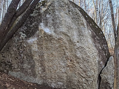
残され岩・ひび割れ岩・雪岩
- 瑞牆山ボルダー / 植樹祭エリア付近
- タイプ別: B9
- 標高: 約 1533 m
- 駐車場から: 近め 89.0681775295065732
美しき日・豆岩・凍岩
瑞牆山ボルダー
植樹祭エリア付近
35.8985
138.5794
2
13
0
0
0
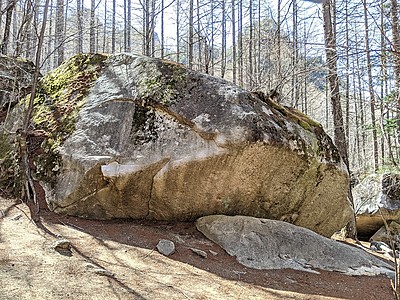
美しき日・豆岩・凍岩
2
- 瑞牆山ボルダー / 植樹祭エリア付近
- タイプ別: B13
- 標高: 約 1572 m
- 駐車場から: そこそこ 179.2892727273255663
大黒岩
瑞牆山ボルダー
植樹祭エリア付近
35.89937
138.57841
0
15
0
0
0
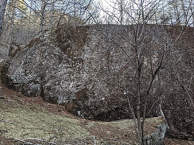
大黒岩
- 瑞牆山ボルダー / 植樹祭エリア付近
- タイプ別: B15
- 標高: 約 1566 m
- 駐車場から: そこそこ 164.340197472290829
計算岩
瑞牆山ボルダー
植樹祭エリア付近
35.89905
138.57696
0
7
0
0
0
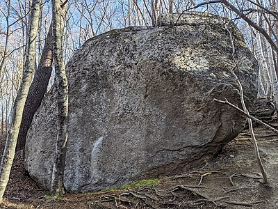
計算岩
- 瑞牆山ボルダー / 植樹祭エリア付近
- タイプ別: B7
- 標高: 約 1528 m
- 駐車場から: 近め 78.7388360946337287
Loading...
 Tap the Share button (a square with an arrow) at the bottom of the screen. If you can't find it, tap "…" and select "Share"