
情報提供
How to Use
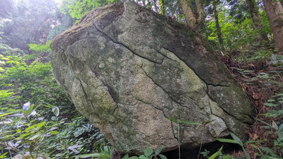
見上げる空の岩
Checked in at 階上ボルダー today:
0
Basic Info
| Area Info | 青森県 / 階上ボルダー 奥の院エリア / |
|---|---|
| GPS Location | 40.431734,141.6167357 |
| Elevation |
Approx. 288 m
Parking Elevation Approx. 150 m(Diff:138 m) |
| Distance from Parking | 668 m |
Route Distribution
Tap the bar chart to view routes for each grade.
ボルダー(3 routes)

Routes
Tap red lines to show the route card
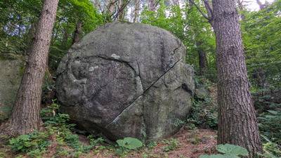

Loading...
動画
-
※自動抽出の動画
Nearby Crags
森の光の岩周辺
階上ボルダー
奥の院エリア
40.431355
141.617032
0
11
0
0
0
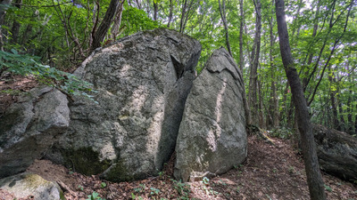
森の光の岩周辺
- 階上ボルダー / 奥の院エリア
- タイプ別: B11
- 標高: 約 273 m
- 駐車場から: そこそこ 256.5096764401119762
ハプニングドラゴンの周辺
階上ボルダー
奥の院エリア
40.4311179
141.6163428
0
13
0
0
0
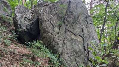
ハプニングドラゴンの周辺
- 階上ボルダー / 奥の院エリア
- タイプ別: B13
- 標高: 約 271 m
- 駐車場から: そこそこ 270.2987252860914789
四戸の岩周辺
階上ボルダー
奥の院エリア
40.4309428
141.616323
0
19
0
0
0
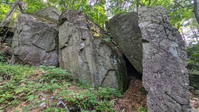
四戸の岩周辺
- 階上ボルダー / 奥の院エリア
- タイプ別: B19
- 標高: 約 266 m
- 駐車場から: そこそこ 265.4147658505499388
猿の岩
階上ボルダー
奥の院エリア
40.4314849
141.6154724
0
3
0
0
0
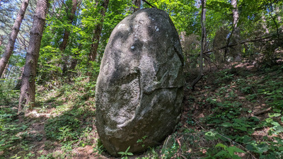
猿の岩
- 階上ボルダー / 奥の院エリア
- タイプ別: B3
- 標高: 約 289 m
- 駐車場から: そこそこ 311.7755603837622249
桜町ポークスの岩周辺
階上ボルダー
奥の院エリア
40.4315209
141.6149232
0
11
0
0
0
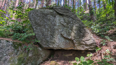
桜町ポークスの岩周辺
- 階上ボルダー / 奥の院エリア
- タイプ別: B11
- 標高: 約 290 m
- 駐車場から: そこそこ 324.088245690521424
BUSAIKUの岩
階上ボルダー
奥の院エリア
40.4317033
141.6144045
0
6
0
0
0
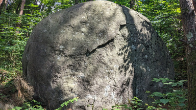
BUSAIKUの岩
- 階上ボルダー / 奥の院エリア
- タイプ別: B6
- 標高: 約 303 m
- 駐車場から: そこそこ 359.6506615313049024
ギガグラビティの岩周辺
階上ボルダー
奥の院エリア
40.4317493
141.6142805
0
10
0
0
0
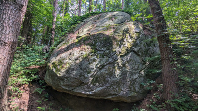
ギガグラビティの岩周辺
- 階上ボルダー / 奥の院エリア
- タイプ別: B10
- 標高: 約 304 m
- 駐車場から: そこそこ 363.4165278339459402
牛若丸の周辺
階上ボルダー
義経エリア
40.4325537
141.6198746
0
10
0
0
0
牛若丸の周辺
- 階上ボルダー / 義経エリア
- タイプ別: B10
- 標高: 約 261 m
- 駐車場から: そこそこ 166.867419037380795
Loading...
 Tap the Share button (a square with an arrow) at the bottom of the screen. If you can't find it, tap "…" and select "Share"