情報提供
How to Use
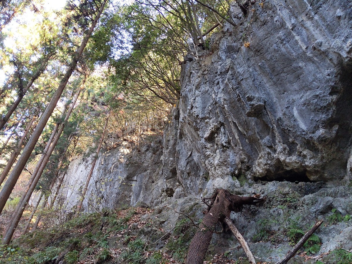
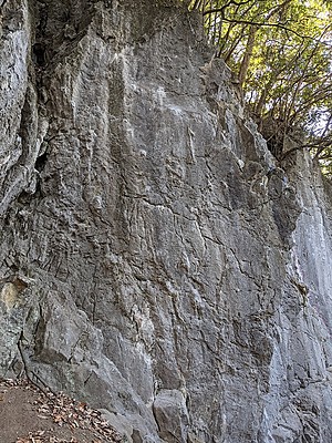
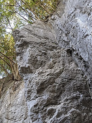
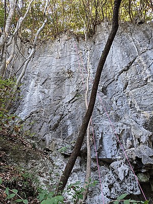
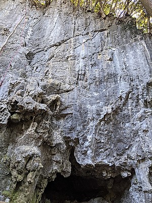
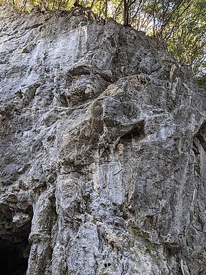
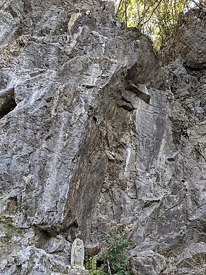
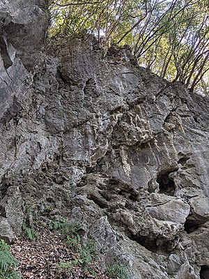
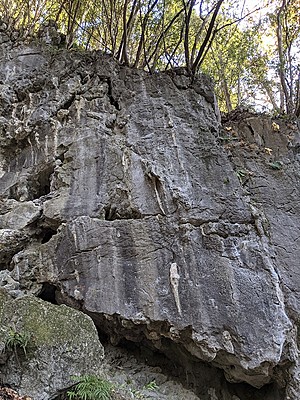
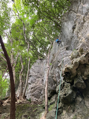 コウモリ岩/いきのいい奴

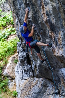
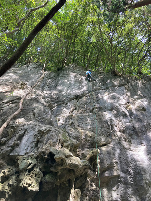 コウモリ岩/大五郎

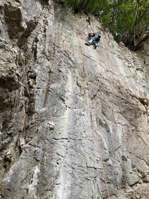 コウモリ岩/泣かないで愛ちゃん


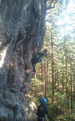 コウモリ岩/ギザギザ・ハート

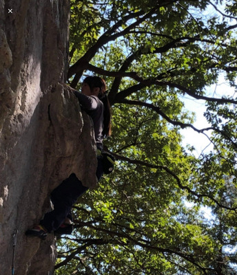 コウモリ岩/イヤーイヤ

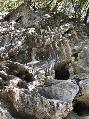 コウモリ岩/サファイア


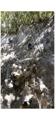 コウモリ岩/大五郎

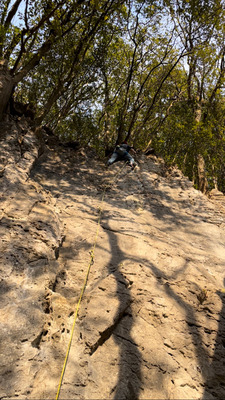 コウモリ岩/泣かないで愛ちゃん

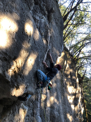 コウモリ岩/イヤーイヤ

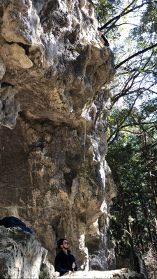 コウモリ岩/タコ

コウモリ岩
Checked in at 河又 today:
0
Basic Info
| Area Info | 埼玉県 / 河又 |
|---|---|
| GPS Location | 35.872384,139.1912635 |
| Elevation |
Approx. 355 m
Parking Elevation Approx. 222 m(Diff:133 m) |
| Distance from Parking | 614 m |
| Aspect / Sun Exposure |
SW
Sun Hours (Estimate)
SW: 8:40〜16:30
|
| Monthly Activity | |
| Popular Problems | |
| Favorites |
4
|
Route Distribution
Tap the bar chart to view routes for each grade.
リード(フェイス)(42 routes)⭐Recommended Routes
Sign in to get more
- Automatic route recommendations matched to your grade, based on your ascents
- Log your ascents and track your progress with charts
- Save favorite crags and routes, and view topos offline
Routes
Tap red lines to show the route card
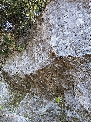
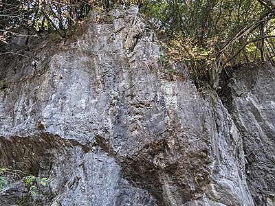
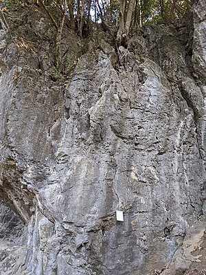
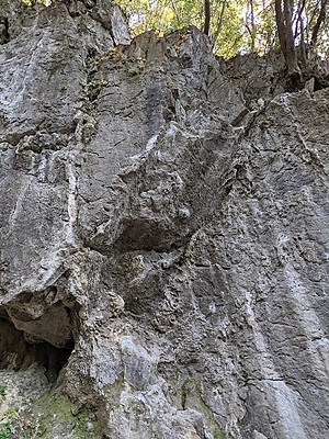
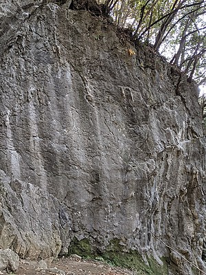
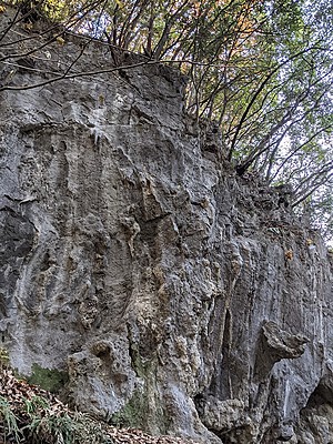
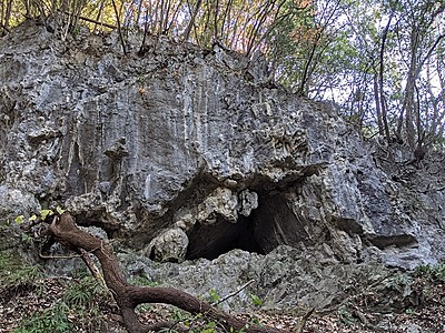
小春日和
こはるびより
Koharubiyori
リード(フェイス)
5.11d
1
0
0
0
35.872384
139.1912635
モスグレイハンド
リード(フェイス)
5.11d
16
1
0
7
35.872384
139.1912635
ムーンビーム
リード(フェイス)
5.10a
28
1
0
13
35.872384
139.1912635
ムーンライト
リード(フェイス)
5.10a/b
7
0
0
6
35.872384
139.1912635
H・E
リード(フェイス)
5.11a
3
0
0
2
35.872384
139.1912635
おもらいでがんす
リード(フェイス)
5.12b
6
1
0
2
35.872384
139.1912635
そういちろう
リード(フェイス)
5.11c
9
3
0
2
35.872384
139.1912635
ダンスリミックス
リード(フェイス)
5.11c
4
0
0
3
35.872384
139.1912635
ディスコバージョン
リード(フェイス)
5.10b
8
1
0
3
35.872384
139.1912635
タミちゃんがハイ
リード(クラック)
5.8
3
0
0
2
35.872384
139.1912635
ビッグトゥモロウ
リード(フェイス)
5.11c
4
1
0
1
35.872384
139.1912635
泣かないで愛ちゃん
なかないであいちゃん
Nakanaideaichan
リード(フェイス)
5.10c
42
2
0
13
35.872384
139.1912635
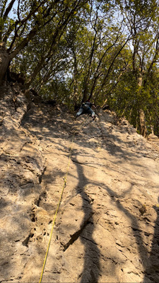
いきのいい奴
リード(フェイス)
5.10b
42
1
0
20
35.872384
139.1912635
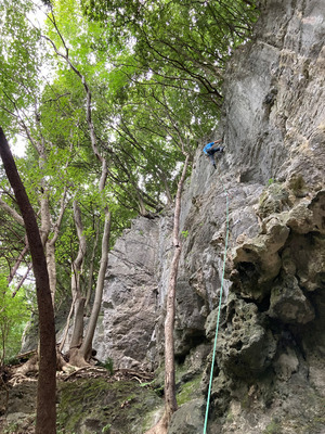
ドラゴンストリート
リード(フェイス)
5.11d
14
1
0
6
35.872384
139.1912635
大五郎
だいごろう
Daigoro
リード(フェイス)
5.11a
84
3
2
18
35.872384
139.1912635
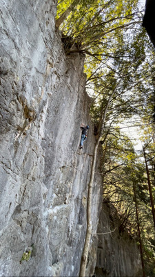
マンモス・ケイブ
リード(フェイス)
5.13c
2
1
0
0
35.872384
139.1912635
デザート・ソング
でざーと・そんぐ
Dezato Songu
リード(フェイス)
5.12a
30
2
0
9
35.872384
139.1912635
一期一会
いちごいちえ
Ichigoichie
リード(フェイス)
5.12d
4
1
0
1
35.872384
139.1912635
デンジャ・デンジャ
リード(フェイス)
5.11b
3
1
0
2
35.872384
139.1912635
ターミナル・ドライブ
リード(フェイス)
5.10b
24
1
0
11
35.872384
139.1912635
サファイア
リード(フェイス)
5.10d
12
1
0
5
35.872384
139.1912635
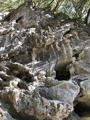
ミヤザキミドリ
リード(フェイス)
5.10a
112
3
1
26
35.872384
139.1912635
大将
たいしょう
Taisho
リード(フェイス)
5.10c
39
2
1
11
35.872384
139.1912635
アリゲーター
リード(フェイス)
5.11a
16
1
0
7
35.872384
139.1912635
イヤーイヤ
リード(フェイス)
5.11a
24
2
0
7
35.872384
139.1912635
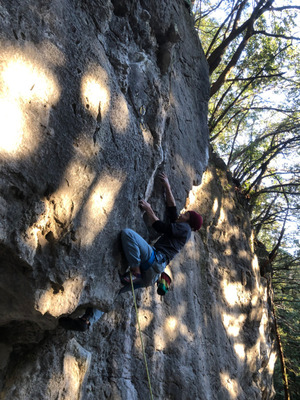
麦畑
リード(フェイス)
5.10b
36
2
0
11
35.872384
139.1912635
オガミイットウ
リード(フェイス)
5.11b
12
1
0
5
35.872384
139.1912635
ギザギザ・ハート
リード(フェイス)
5.10c
39
2
0
12
35.872384
139.1912635
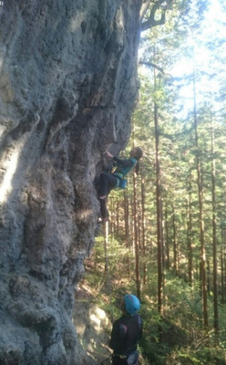
スネーク・ジュニア
リード(フェイス)
5.11d
4
1
0
1
35.872384
139.1912635
タコ
リード(フェイス)
5.11b
33
2
0
10
35.872384
139.1912635
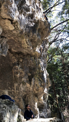
忍吉
リード(フェイス)
5.10a
18
1
0
8
35.872384
139.1912635
Loading...
動画
-
※自動抽出の動画
-
※自動抽出の動画
-
※自動抽出の動画
-
※自動抽出の動画
-
※自動抽出の動画

Nearby Crags
シュテファン・フェイス
河又
35.8735489
139.1902538
0
0
13
0
0
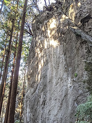
シュテファン・フェイス
- 河又
- タイプ別: F13
- 標高: 約 378 m
- 駐車場から: そこそこ 279.4888310807053656
タワー・ロック
河又
35.8745755
139.1907175
0
0
10
1
0
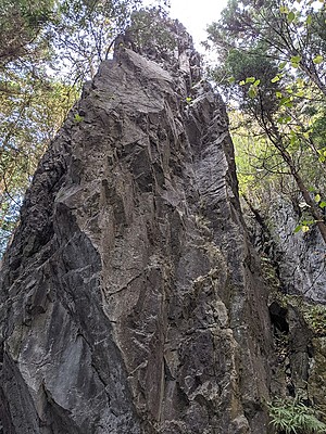
タワー・ロック
- 河又
- タイプ別: F10 C1
- 標高: 約 400 m
- 駐車場から: そこそこ 374.7906734217262698
雷岩
かみなりいわ
Kaminariiwa
河又
35.87118378959387
139.1953957956013
0
0
12
1
0

雷岩Kaminariiwa
- 河又
- タイプ別: F12 C1
- 標高: 約 469 m
- 駐車場から: 遠め 703.3236538510593918

Loading...
Related Collections
雨でも登れる岩場(関東周辺)
サーサーくらいの小雨でも岩が濡れずに登れるルートがある岩場をまとめています。参考になれば幸いです。
(当日の雨で岩が濡れにくいという意味です。岩の渇きが早いのとは別です)
山梨県 埼玉県 福島県
瑞牆山 甲府幕岩 河又 白河 聖ヶ岩・不動岩
コウモリ岩 新四幕 七幕 不動岩 姐御岩 モツランド
1
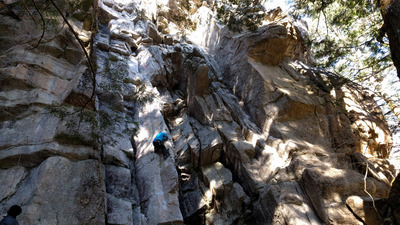
雨でも登れる岩場(関東周辺)
サーサーくらいの小雨でも岩が濡れずに登れるルートがある...
1
Loading...
 Tap the Share button (a square with an arrow) at the bottom of the screen. If you can't find it, tap "…" and select "Share"