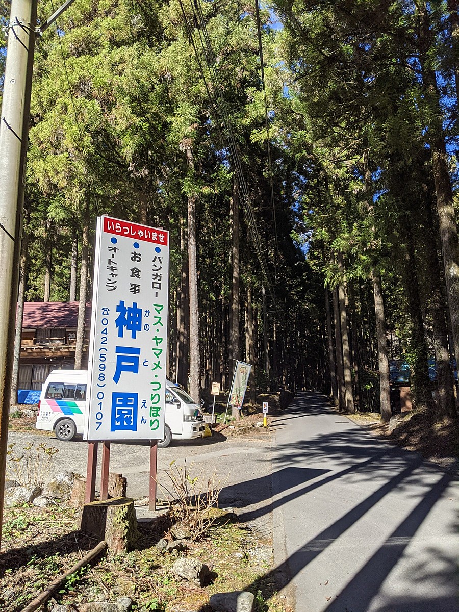
情報提供
How to Use
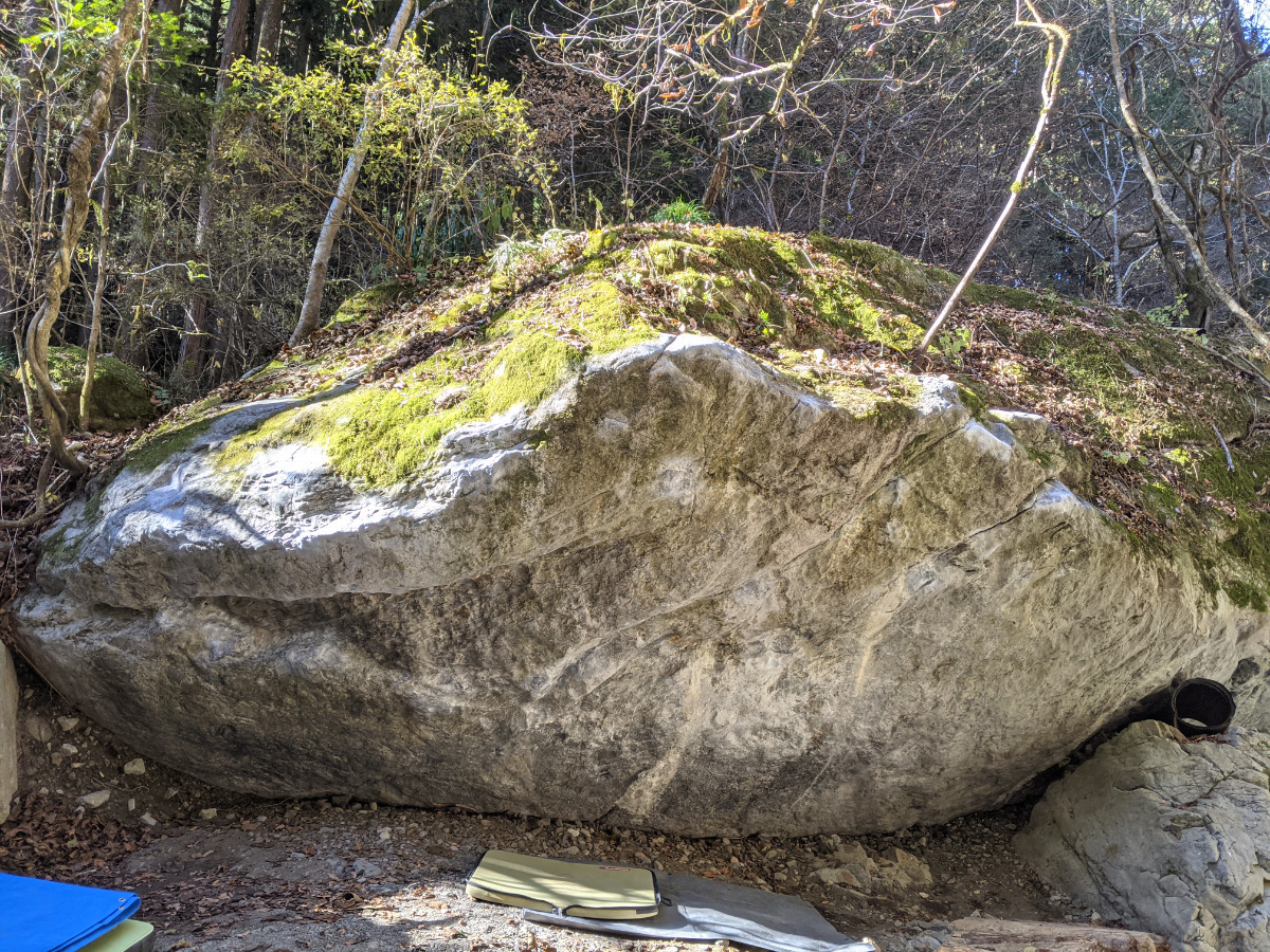
デルタ岩
Basic Info
| Area Info | 東京都 / 神戸ボルダー |
|---|---|
| GPS Location | 35.7513897,139.1157326 |
| Elevation |
Approx. 391 m
Parking Elevation Approx. 389 m(Diff:2 m) |
| Distance from Parking | 96 m |
Route Distribution
Tap the bar chart to view routes for each grade.
ボルダー(9 routes)Routes
Tap red lines to show route name and grade

簡単
4~3級
2~1級
~三段
Loading...
動画
-
※自動抽出の動画
-
※自動抽出の動画
-
※自動抽出の動画
-
※自動抽出の動画
-
※自動抽出の動画
Comments
No comments yet.
Post CommentNearby Crags
ブラボー岩
神戸ボルダー
35.7511441
139.1157666
0
9
0
0
0

ブラボー岩
- 神戸ボルダー
- タイプ別: B9
- 難易度別: M1 H8
- 駐車場から: 近め -0.82915295279466792
アルファ岩
神戸ボルダー
35.7508222
139.1159514
0
1
0
0
0
アルファ岩
- 神戸ボルダー
- タイプ別: B1
- 難易度別: M1
- 駐車場から: 近め -0.8921440073209284
Loading...
×