
情報提供
How to Use
Access to this area is restricted at the crag developer's request or due to past access issues. Please be careful about sharing information on social media.
メインウォール
Basic Info
| Area Info | 静岡県 / 非公開サンプルエリア 川の広場周辺 / |
|---|---|
| GPS Location | 34.97773027594886,138.35629522516518 |
| Elevation | Approx. 29 m |
Route Distribution
Tap the bar chart to view routes for each grade.
ボルダー(2 routes)Routes
Tap red lines to show the route card
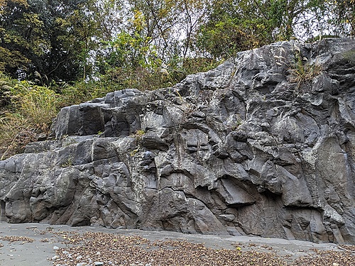
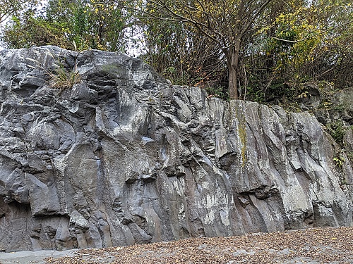
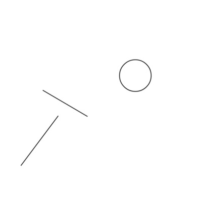
Loading...
Nearby Crags
橋の下の岩場
非公開サンプルエリア
川の広場周辺
34.97510395919915
138.35853923813167
0
0
1
0
0

橋の下の岩場
- 非公開サンプルエリア / 川の広場周辺
- タイプ別: F1
- 標高: 約 25 m
対岸の岩場
非公開サンプルエリア
対岸エリア
34.975463129064906
138.360666423089
0
2
0
0
0
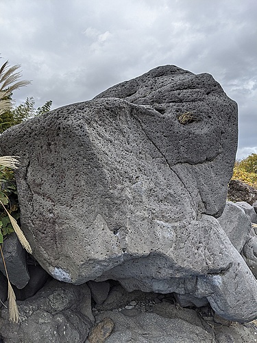
対岸の岩場
- 非公開サンプルエリア / 対岸エリア
- タイプ別: B2
- 標高: 約 27 m
Loading...
 Tap the Share button (a square with an arrow) at the bottom of the screen. If you can't find it, tap "…" and select "Share"