情報提供
How to Use
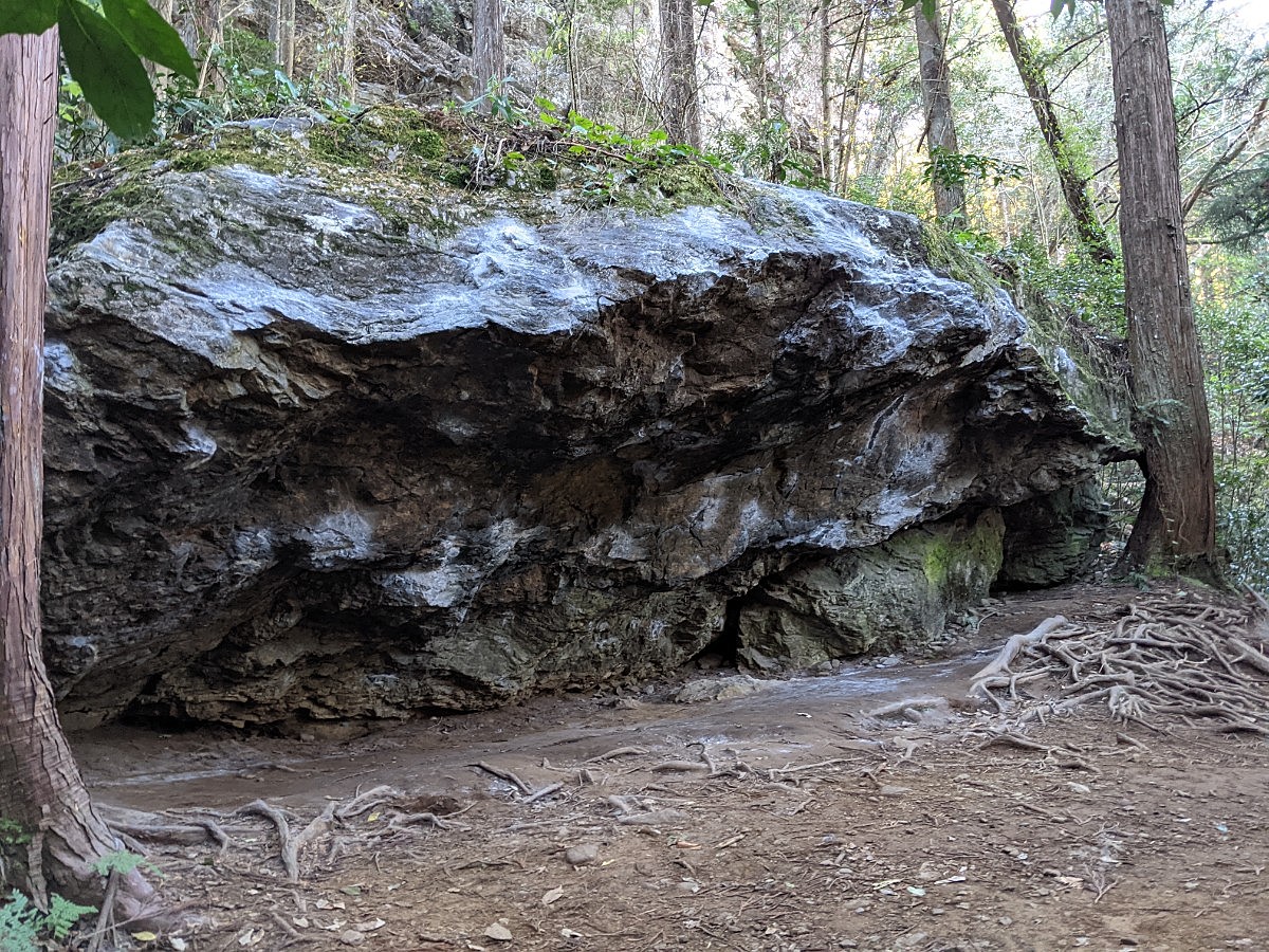
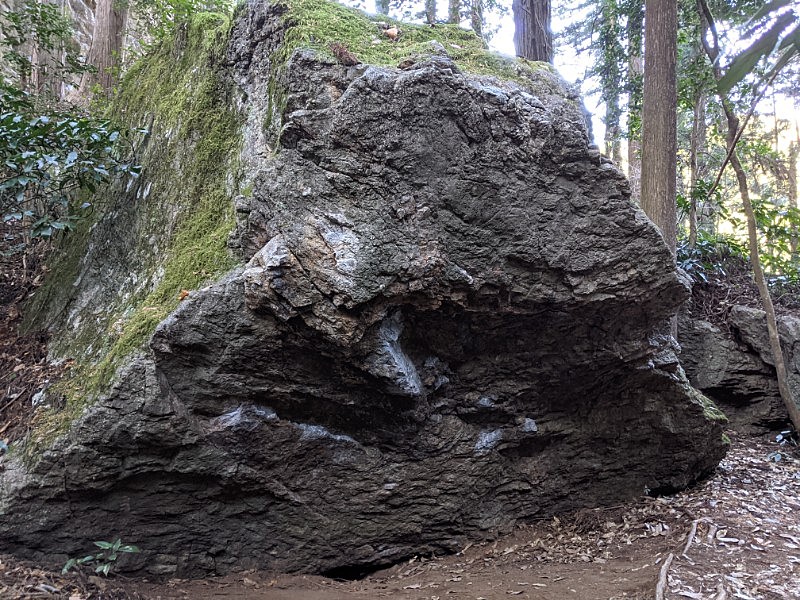
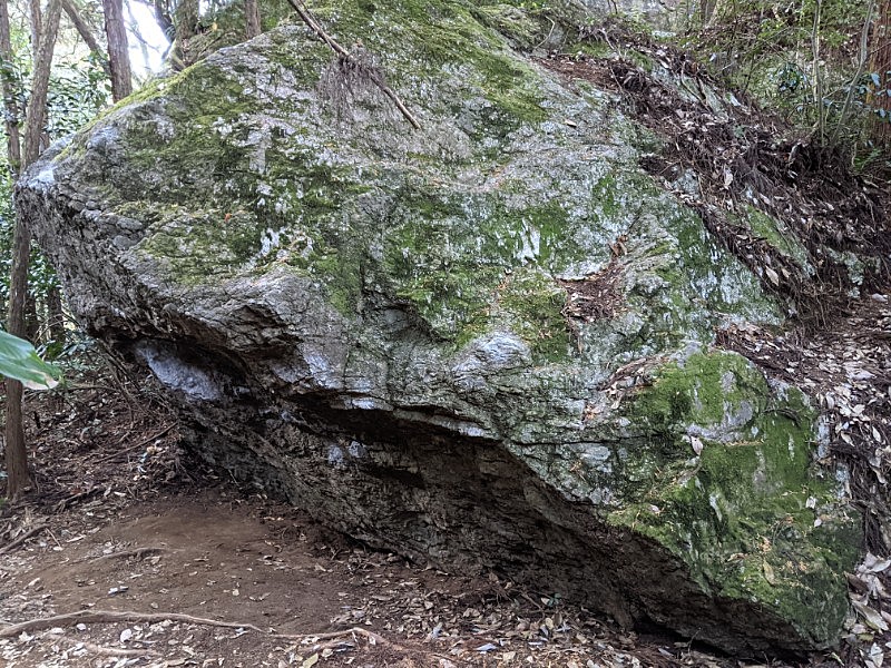
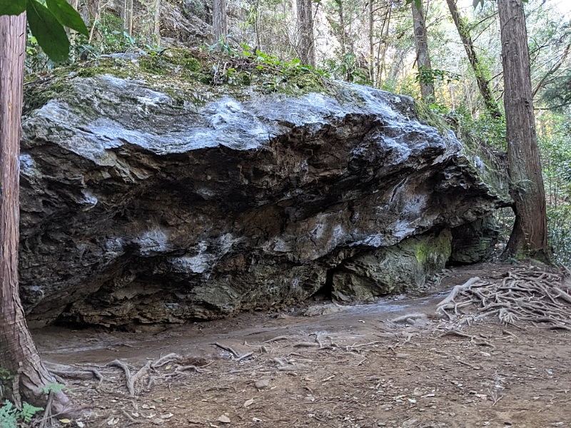
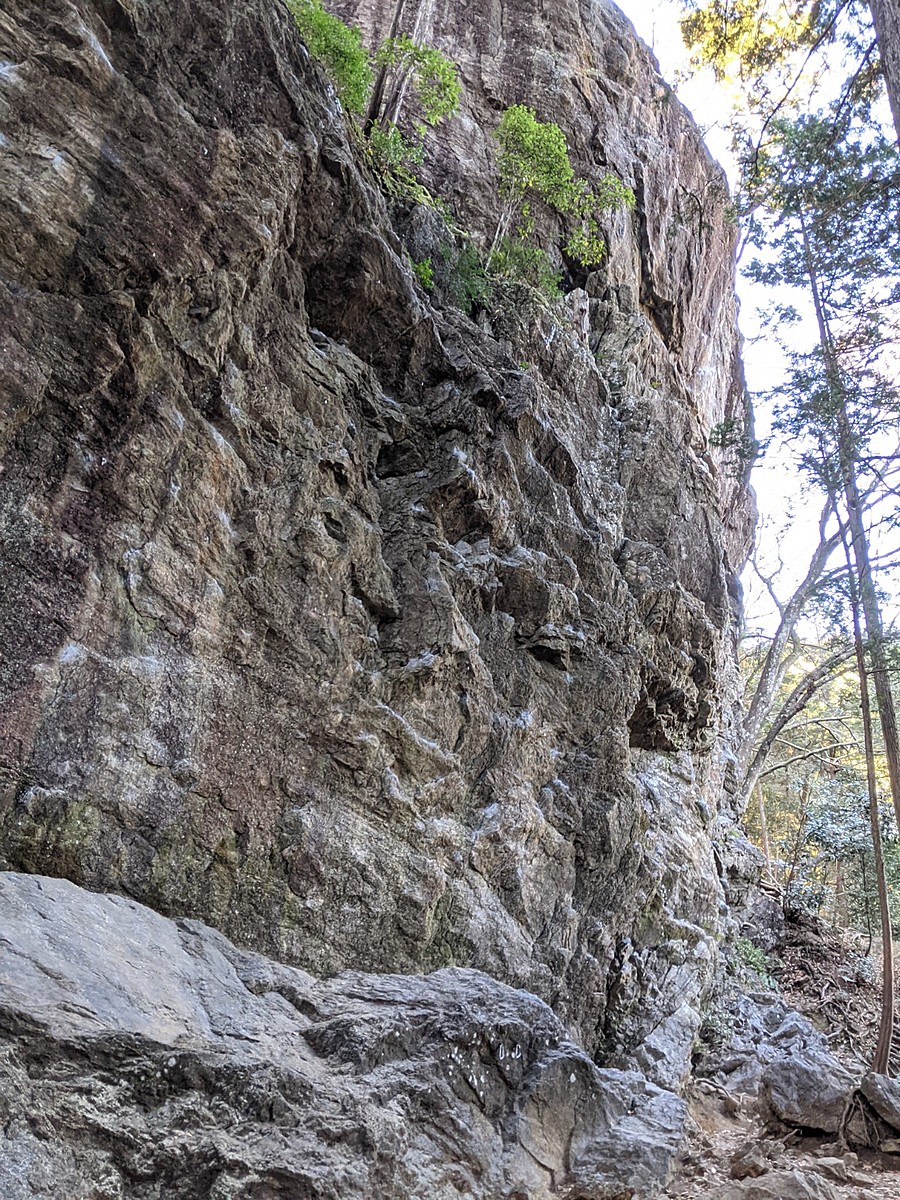
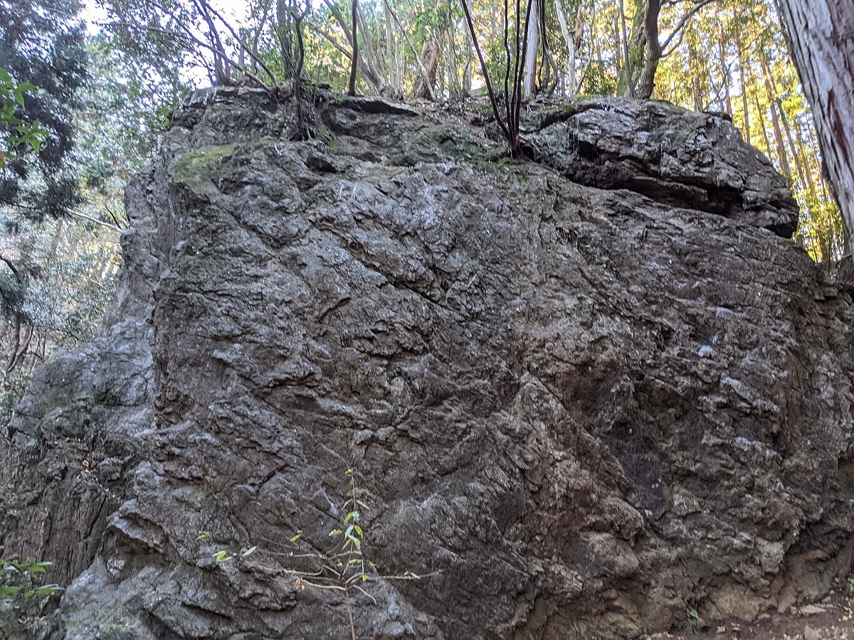
天王岩ボルダー
Basic Info
| Area Info | 東京都 / 天王岩 |
|---|---|
| GPS Location | 35.737066432275086,139.1882479333027 |
| Elevation |
Approx. 262 m
Parking Elevation Approx. 214 m(Diff:48 m) |
| Distance from Parking | 1032 m |
Route Distribution
Tap the bar chart to view routes for each grade.
ボルダー(6 routes)Routes
Tap red lines to show route name and grade
-
左の岩
-
-
右の岩(冥王岩)
簡単
4~3級
2~1級
~三段

Loading...
動画
-
※自動抽出の動画
-
※自動抽出の動画
-
※自動抽出の動画
-
※自動抽出の動画
-
※自動抽出の動画
Comments
No comments yet.
Post CommentNearby Crags
上の岩場
天王岩
35.73695381305611
139.1880094839855
5
0
28
1
0
上の岩場
5
- 天王岩
- タイプ別: F28 C1
- 難易度別: E5 M21 H3
- 駐車場から: そこそこ 168.938211337092945
下の岩場
天王岩
35.73727456784868
139.18788575761343
5
0
17
0
0
下の岩場
5
- 天王岩
- タイプ別: F17
- 難易度別: E12 M5
- 駐車場から: 近め 120.966308000558976
Loading...
×