
情報提供
How to Use
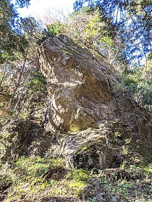
屏風岩右上の岩


Checked in at 氷川屏風岩 today:
0
Basic Info
| Area Info | 東京都 / 氷川屏風岩 |
|---|---|
| GPS Location | 35.8116998,139.1011172 |
| Elevation |
Approx. 596 m
Parking Elevation Approx. 332 m(Diff:264 m) |
| Distance from Parking | 579 m |
| Aspect / Sun Exposure |
S
Sun Hours (Estimate)
S: 6:30〜16:40
|
Route Distribution
Tap the bar chart to view routes for each grade.
リード(フェイス)(3 routes)Routes
Tap red lines to show the route card
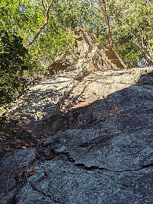
アフター・バースト
リード(フェイス)
5.10d
1
0
0
0
35.8116998
139.1011172

Loading...
Nearby Crags
氷川屏風岩
ひかわびょうぶいわ
Hikawabyobuiwa
氷川屏風岩
35.8114368
139.1009555
3
0
23
0
1
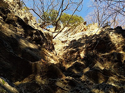
氷川屏風岩Hikawabyobuiwa
3
- 氷川屏風岩
- タイプ別: F23 M1
- 標高: 約 552 m
- 駐車場から: そこそこ 361.04584933960389
ムジナ岩
氷川屏風岩
35.8115942
139.1014859
0
0
10
0
0
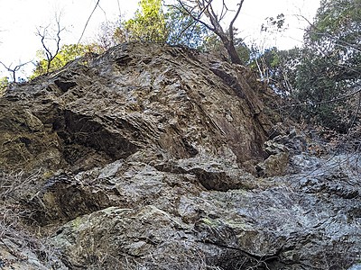
ムジナ岩
- 氷川屏風岩
- タイプ別: F10
- 標高: 約 583 m
- 駐車場から: そこそこ 436.4844910760525469
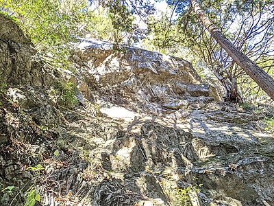
フクロウ岩
氷川屏風岩
35.8111769
139.1019413
0
0
5
0
0
フクロウ岩
- 氷川屏風岩
- タイプ別: F5
- 標高: 約 516 m
- 駐車場から: そこそこ 306.036599471671632
Loading...

 Tap the Share button (a square with an arrow) at the bottom of the screen. If you can't find it, tap "…" and select "Share"