情報提供
How to Use


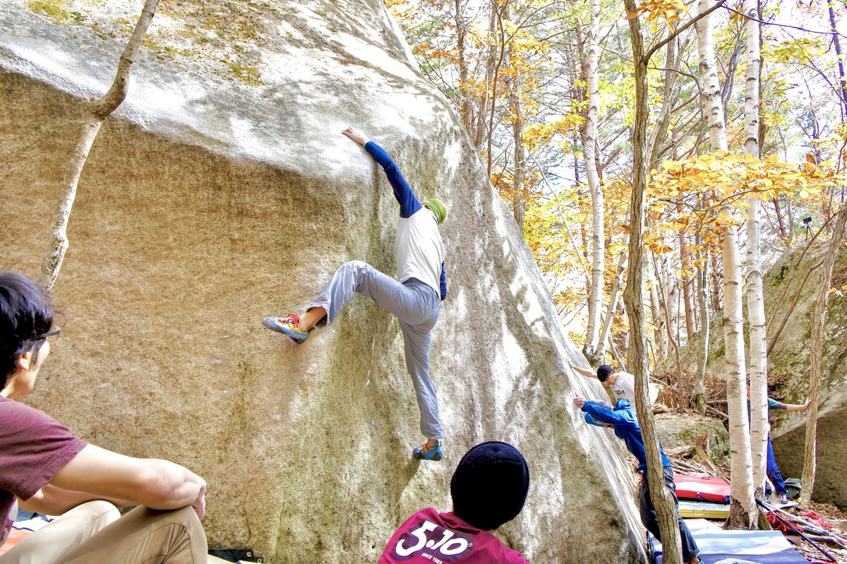
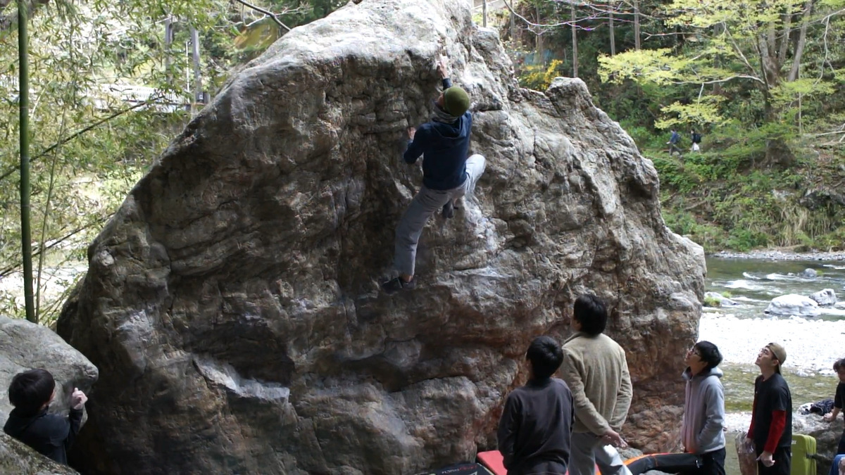
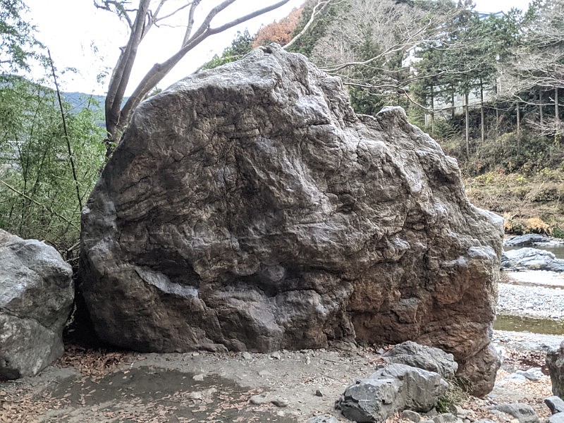
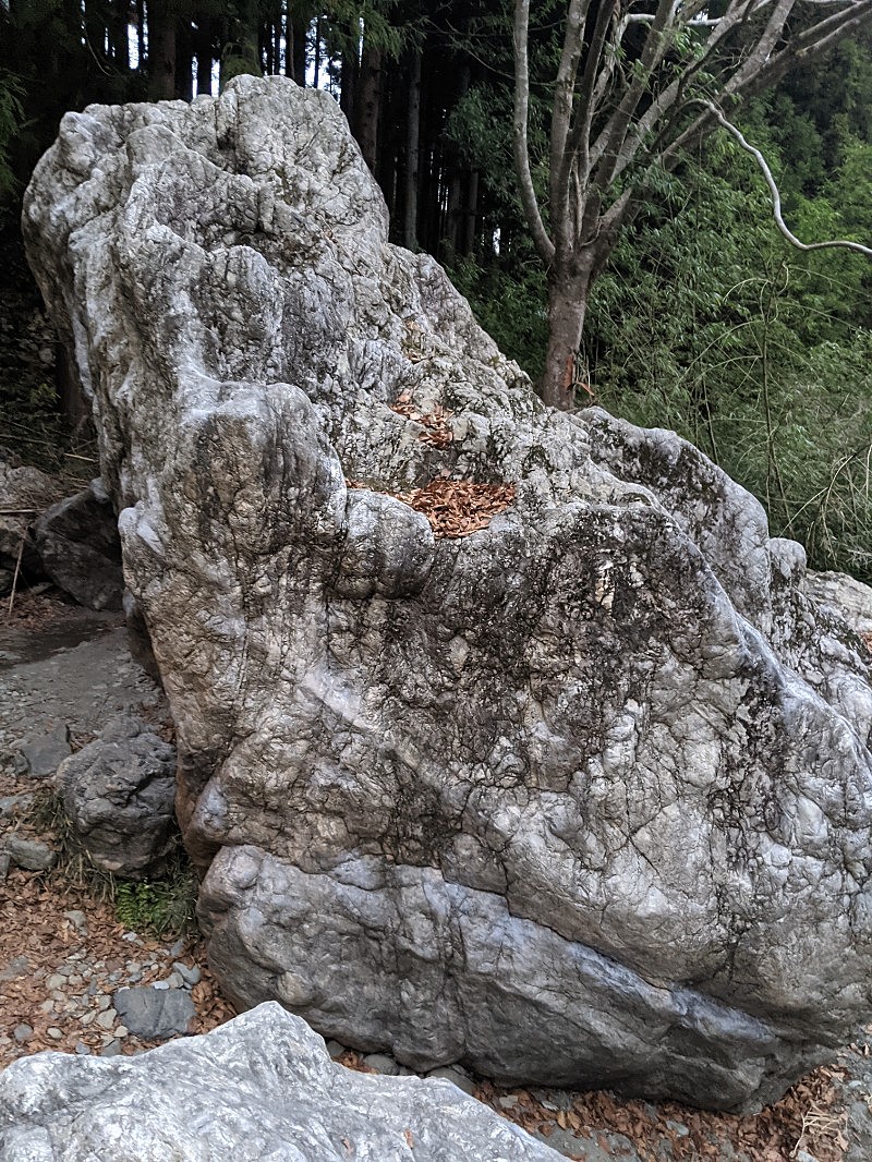
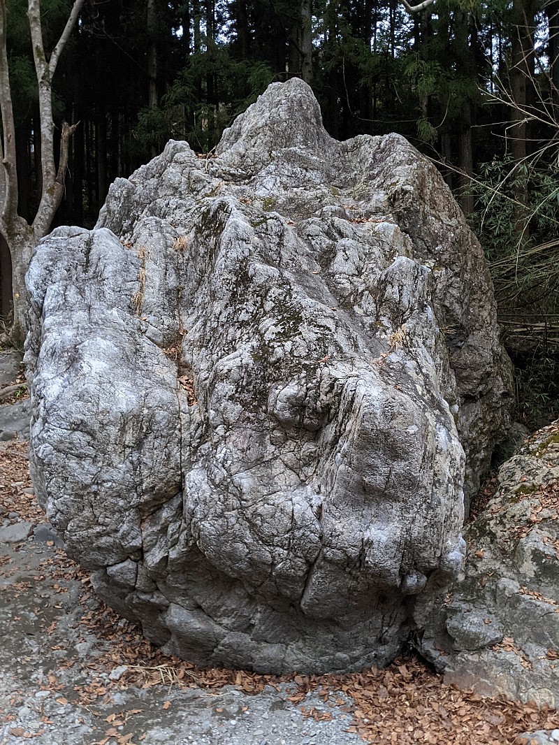
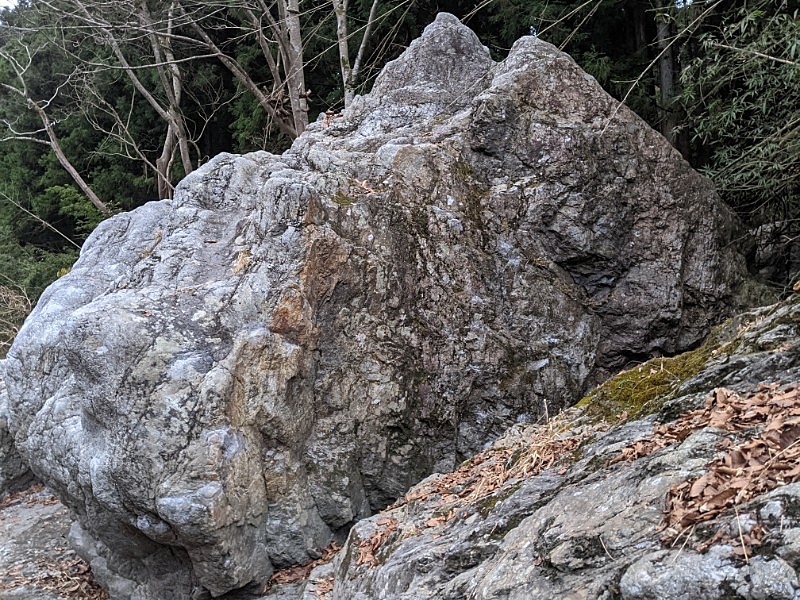
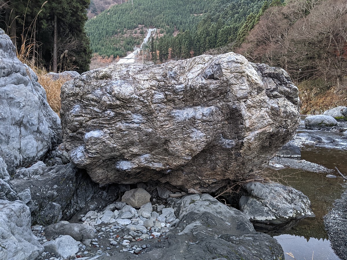
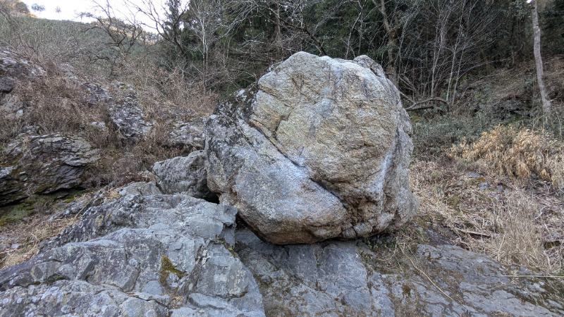
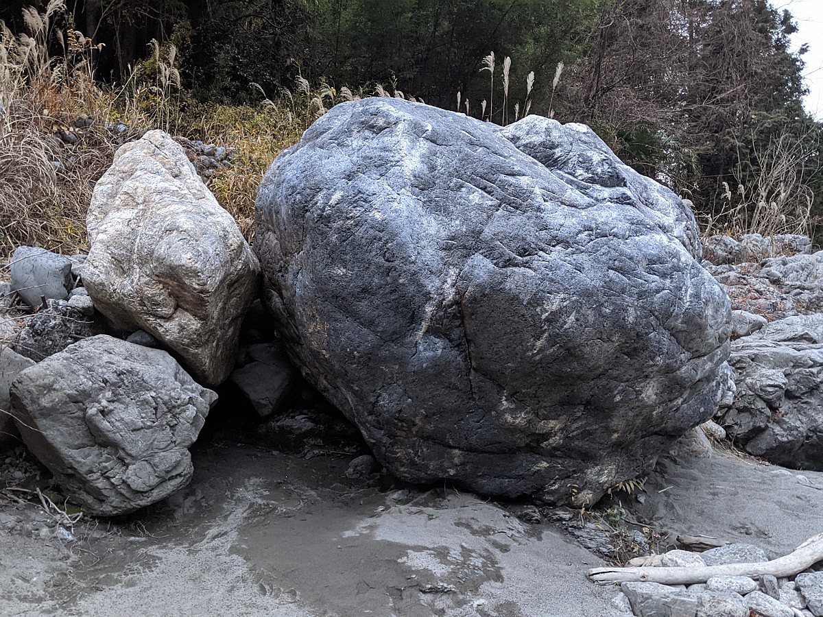
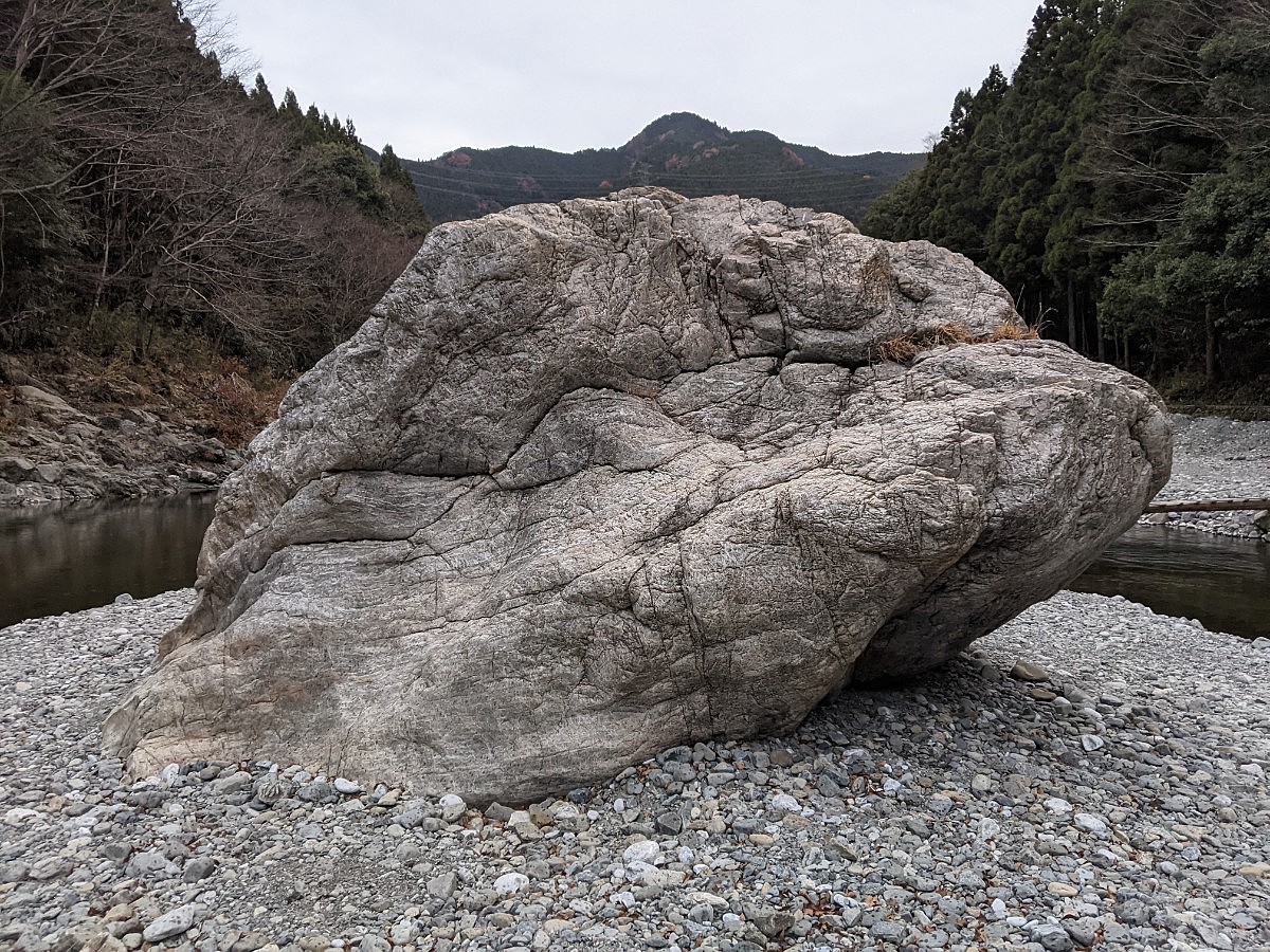
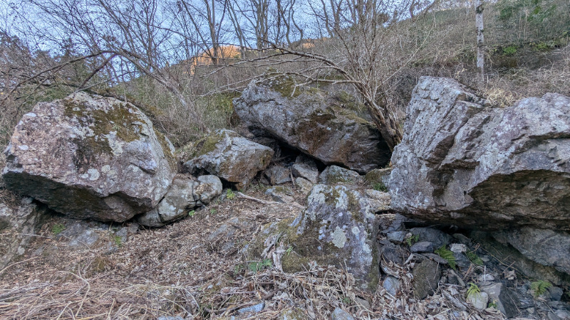
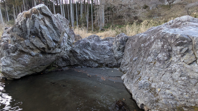
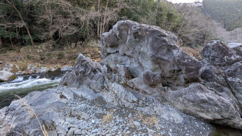
デッド・エンド
でっど・えんど
Basic Info
| Area Info | 東京都 / 御岳ボルダー デッドエンド周辺 / |
|---|---|
| GPS Location | 35.80112950293839,139.17575418949127 |
| Elevation |
Approx. 215 m
Parking Elevation Approx. 232 m(Diff:-17 m) |
| Distance from Parking | 269 m |
| Popular Problems | |
| Favorites |
2
|
Route Distribution
Tap the bar chart to view routes for each grade.
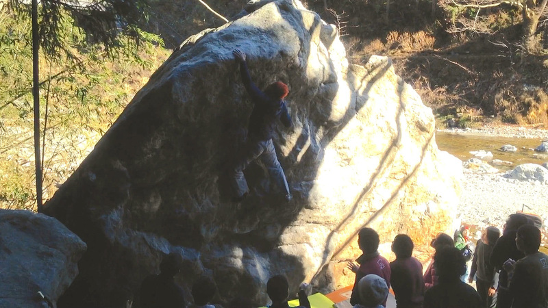
ボルダー(8 routes)Routes
Tap red lines to show route name and grade
簡単
4~3級
2~1級
~三段

Loading...
動画
-
デッド・エンド
-
※自動抽出の動画
-
※自動抽出の動画
-
※自動抽出の動画
-
※自動抽出の動画
-
※自動抽出の動画

Comments
No comments yet.
Post CommentNearby Crags
千尋岩と周辺
ちひろいわ
御岳ボルダー
デッドエンド周辺
35.800987
139.1761386
2
8
0
0
0
千尋岩と周辺
2
- 御岳ボルダー / デッドエンド周辺
- タイプ別: B8
- 難易度別: E3 M3 H2
- 駐車場から: 近め -12.8758213105217604
千尋蒟蒻の間
御岳ボルダー
デッドエンド周辺
35.800415376865395
139.17638817902574
0
9
0
0
0

千尋蒟蒻の間
- 御岳ボルダー / デッドエンド周辺
- タイプ別: B9
- 難易度別: E6 M3
- 駐車場から: 近め -96.528219095257404
人間発電の岩
御岳ボルダー
デッドエンド周辺
35.800070033761415
139.17624015827388
0
4
0
0
0
人間発電の岩
- 御岳ボルダー / デッドエンド周辺
- タイプ別: B4
- 難易度別: E2 M2
- 駐車場から: 近め -82.22005354016304
丸こんにゃく岩と周辺
まるこんにゃくいわ
御岳ボルダー
デッドエンド周辺
35.80015858634877
139.17670821066204
2
10
0
0
0
丸こんにゃく岩と周辺
2
- 御岳ボルダー / デッドエンド周辺
- タイプ別: B10
- 難易度別: E6 M3 H1
- 駐車場から: 近め -6.4044622076539056
中州ボルダー
なかすぼるだー
御岳ボルダー
デッドエンド周辺
35.8027977
139.1760432
0
3
0
0
0
中州ボルダー
- 御岳ボルダー / デッドエンド周辺
- タイプ別: B3
- 難易度別: E2 M1
- 駐車場から: 近め -23.3274529591124976
発電所下の岩場
御岳ボルダー
杣の小橋エリア
35.79956093656835
139.17752108536124
0
5
0
0
0
発電所下の岩場
- 御岳ボルダー / 杣の小橋エリア
- タイプ別: B5
- 難易度別: E4 M1
- 駐車場から: 近め -86.972377948421166
御岳サークルの岩
御岳ボルダー
杣の小橋エリア
35.80034870584807
139.17893030709047
1
4
0
0
0
御岳サークルの岩
1
- 御岳ボルダー / 杣の小橋エリア
- タイプ別: B4
- 難易度別: E2 M1 H1
- 駐車場から: 近め -92.507465937046041
コブ岩
御岳ボルダー
杣の小橋エリア
35.8006476
139.1797078
0
3
0
0
0
コブ岩
- 御岳ボルダー / 杣の小橋エリア
- タイプ別: B3
- 難易度別: E3
- 駐車場から: 近め -96.148989000064158
Loading...
×