湯川メインエリア/テレポーテーション

湯川メインエリア/道化師
湯川メインエリア/黄昏の舞姫
湯川メインエリア/月影の騎士
湯川メインエリア/フォーサイト
湯川メインエリア/バンパイア
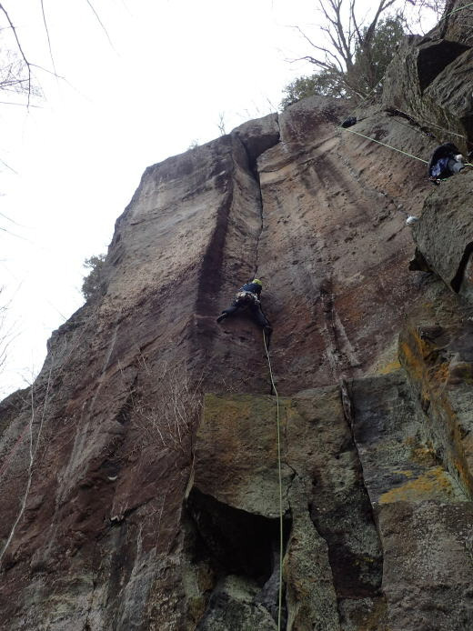
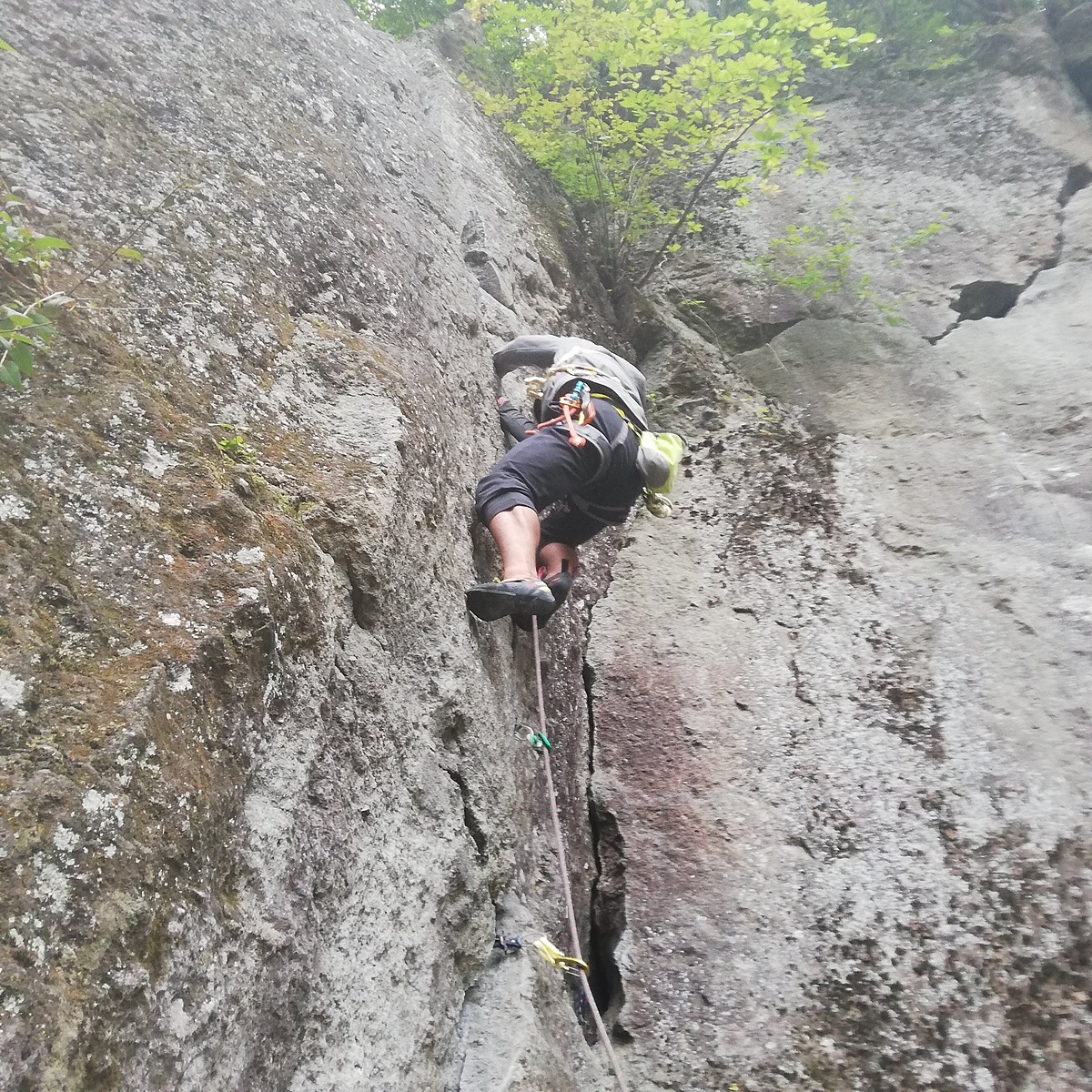
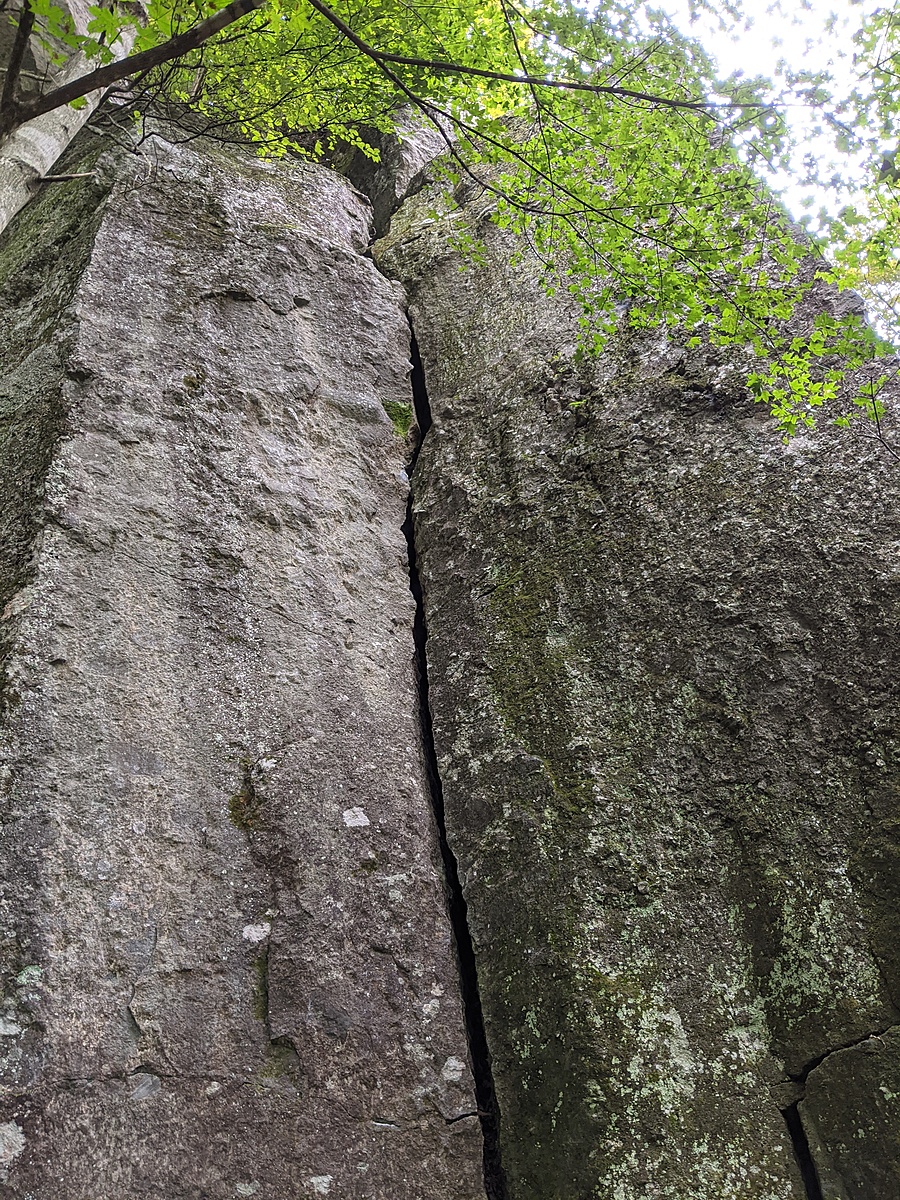
湯川メインエリア/無名クラック

湯川メインエリア/デゲンナー

.jpeg)
.jpg)
.jpeg)
.JPG)