
情報提供
How to Use
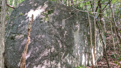
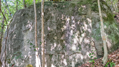
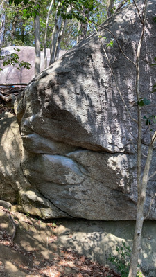
太っ腹岩
Checked in at 豊田 today:
0
Basic Info
| Area Info | 愛知県 / 豊田 古美山・宮川エリア / |
|---|---|
| GPS Location | 35.068128346292035,137.24949386002552 |
| Elevation |
Approx. 226 m
Parking Elevation Approx. 221 m(Diff:5 m) |
| Distance from Parking | 180 m |
Route Distribution
Tap the bar chart to view routes for each grade.
ボルダー(5 routes)Routes
Tap red lines to show the route card

Loading...
Nearby Crags
MI6ロック・へそがん石
豊田
古美山・宮川エリア
35.06827507830425
137.2494564450524
1
16
0
0
0
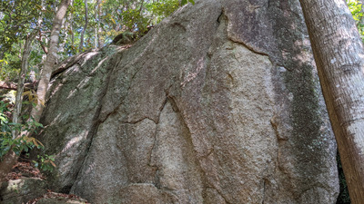
MI6ロック・へそがん石
1
- 豊田 / 古美山・宮川エリア
- タイプ別: B16
- 標高: 約 233 m
- 駐車場から: 近め 6.1294526367167448
大スラブ岩・子犬岩
豊田
古美山・宮川エリア
35.06828963665889
137.24931058097852
0
13
0
0
0
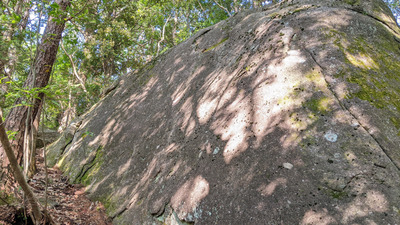
大スラブ岩・子犬岩
- 豊田 / 古美山・宮川エリア
- タイプ別: B13
- 標高: 約 241 m
- 駐車場から: 近め 10.72607593580856
目玉岩・石頭岩
豊田
古美山・宮川エリア
35.06810656771372
137.24912605130945
0
10
0
0
0
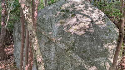
目玉岩・石頭岩
- 豊田 / 古美山・宮川エリア
- タイプ別: B10
- 標高: 約 239 m
- 駐車場から: 近め 11.0662940567815632
下部ボルダー
豊田
古美山・宮川エリア
35.0684508474384
137.24991937639575
0
12
0
0
0
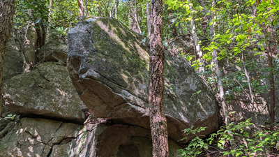
下部ボルダー
- 豊田 / 古美山・宮川エリア
- タイプ別: B12
- 標高: 約 221 m
- 駐車場から: 近め 0.0
ビビり岩
豊田
古美山・宮川エリア
35.068416349898804
137.25015188381084
0
5
0
0
0
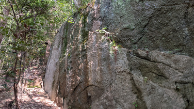
ビビり岩
- 豊田 / 古美山・宮川エリア
- タイプ別: B5
- 標高: 約 216 m
- 駐車場から: 近め -1.7920614797996835
一手ロック
いってろっく
Itterokku
豊田
古美山・宮川エリア
35.068871075645696
137.25003236140302
0
18
0
0
0

一手ロックItterokku
- 豊田 / 古美山・宮川エリア
- タイプ別: B18
- 標高: 約 237 m
- 駐車場から: 近め 4.161348533230188
番外地ロック
豊田
古美山・宮川エリア
35.06864064188771
137.2503728183896
0
9
1
0
0
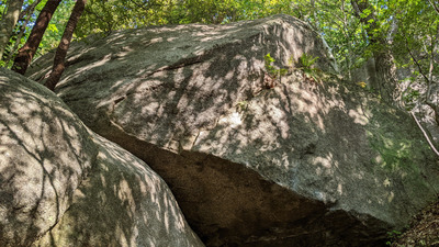
番外地ロック
- 豊田 / 古美山・宮川エリア
- タイプ別: B9 F1
- 標高: 約 230 m
- 駐車場から: 近め 2.38039778440791414
リーチ前岩・お忍び前岩
豊田
古美山・宮川エリア
35.06869945813715
137.2503720562277
0
8
2
0
0
リーチ前岩・お忍び前岩
- 豊田 / 古美山・宮川エリア
- タイプ別: B8 F2
- 標高: 約 235 m
- 駐車場から: 近め 3.4552584942355074
Loading...

 Tap the Share button (a square with an arrow) at the bottom of the screen. If you can't find it, tap "…" and select "Share"