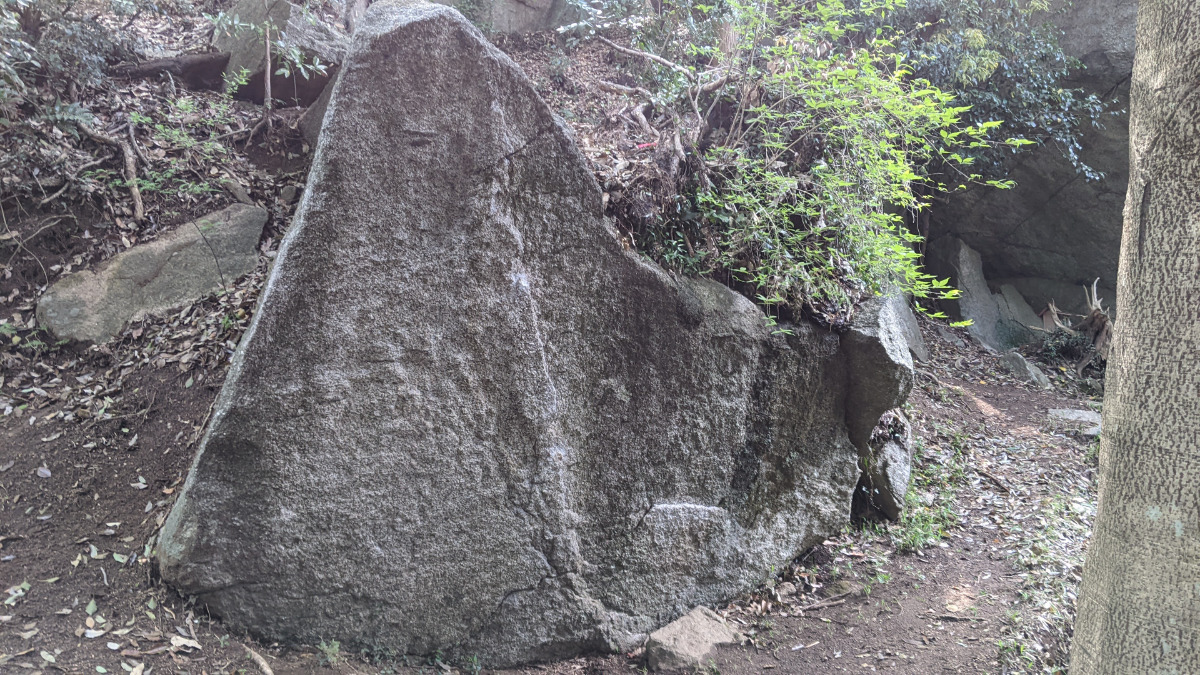
情報提供
How to Use
社ロック
Checked in at 豊田 today:
0
Basic Info
| Area Info | 愛知県 / 豊田 天下峰ボルダー / |
|---|---|
| GPS Location | 35.073079927673575,137.2620706295962 |
| Elevation |
Approx. 295 m
Parking Elevation Approx. 292 m(Diff:3 m) |
| Distance from Parking | 55 m |
Route Distribution
Tap the bar chart to view routes for each grade.
ボルダー(3 routes)⭐Recommended Routes
Sign in to get more
- Automatic route recommendations matched to your grade, based on your ascents
- Log your ascents and track your progress with charts
- Save favorite crags and routes, and view topos offline
Routes
Tap red lines to show the route card
Loading...
動画
-
※自動抽出の動画
-
※自動抽出の動画
Nearby Crags
悲哀の岩
豊田
天下峰エリア
35.0727209
137.262268
0
0
0
1
0
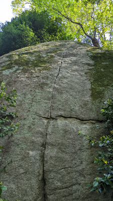
悲哀の岩
- 豊田 / 天下峰エリア
- タイプ別: C1
- 標高: 約 303 m
- 駐車場から: 近め 0.89482576955973201
狭間ロック
豊田
天下峰ボルダー
35.072957267147785
137.26256073859335
0
7
0
0
0

狭間ロック
- 豊田 / 天下峰ボルダー
- タイプ別: B7
- 標高: 約 325 m
- 駐車場から: 近め 6.36087925349362926
木陰ロック
豊田
天下峰ボルダー
35.07282585150991
137.26260817453712
0
4
0
0
0
木陰ロック
- 豊田 / 天下峰ボルダー
- タイプ別: B4
- 標高: 約 323 m
- 駐車場から: 近め 5.57054092839666669
マントルロック
豊田
天下峰ボルダー
35.07265810338763
137.2624859961392
0
6
0
0
0
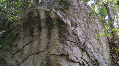
マントルロック
- 豊田 / 天下峰ボルダー
- タイプ別: B6
- 標高: 約 312 m
- 駐車場から: 近め 2.599760356114647
美人岩
豊田
天下峰エリア
35.0731884
137.2627679
0
0
9
0
0
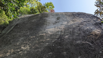
美人岩
- 豊田 / 天下峰エリア
- タイプ別: F9
- 標高: 約 346 m
- 駐車場から: 近め 15.4743829712330472
日陰者の岩
豊田
天下峰エリア
35.0730581
137.2627947
0
0
2
0
0
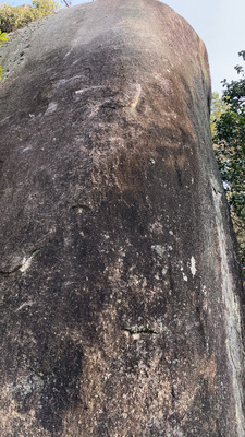
日陰者の岩
- 豊田 / 天下峰エリア
- タイプ別: F2
- 標高: 約 331 m
- 駐車場から: 近め 10.29168593253799128
オトギロック
豊田
天下峰ボルダー
35.07265054081582
137.2626283114449
1
19
0
0
0
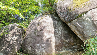
オトギロック
1
- 豊田 / 天下峰ボルダー
- タイプ別: B19
- 標高: 約 313 m
- 駐車場から: 近め 3.52959254634828366
マンボウロック
豊田
天下峰ボルダー
35.07253757729008
137.26247613885252
0
7
0
0
0
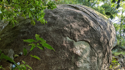
マンボウロック
- 豊田 / 天下峰ボルダー
- タイプ別: B7
- 標高: 約 305 m
- 駐車場から: 近め 1.64277881112148752
Loading...
 Tap the Share button (a square with an arrow) at the bottom of the screen. If you can't find it, tap "…" and select "Share"