
情報提供
How to Use
米原エリアの岩
Checked in at 石垣島ボルダー today:
0
Basic Info
| Area Info | 沖縄県 / 石垣島ボルダー 米原エリア / |
|---|---|
| GPS Location | 24.453596208774485,124.1862011706193 |
| Elevation |
Approx. 1 m
Parking Elevation Approx. 4 m(Diff:-3 m) |
| Distance from Parking | 87 m |
Routes
Tap red lines to show the route card
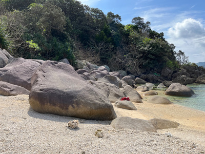
Nearby Crags
荒川エリア手前の岩
石垣島ボルダー
荒川エリア
24.450136205115573
124.18112782845913
0
0
0
0
0

荒川エリア手前の岩
- 石垣島ボルダー / 荒川エリア
- 標高: 約 2 m
ナレブの浜の岩
石垣島ボルダー
ナブレの浜エリア
24.432286223277867
124.0707433484349
0
0
0
0
0
ナレブの浜の岩
- 石垣島ボルダー / ナブレの浜エリア
- 標高: 約 1 m
黒岩
石垣島ボルダー
久宇良エリア
24.551218908787455
124.28971444737087
0
12
0
0
0
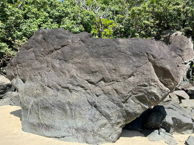
黒岩
- 石垣島ボルダー / 久宇良エリア
- タイプ別: B12
- 標高: 約 1 m
- 駐車場から: 登り返し有 -136.66377126015954
メタルクウラスラブ
石垣島ボルダー
久宇良エリア
24.551173061514934
124.28978143569252
0
1
0
0
0
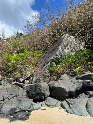
メタルクウラスラブ
- 石垣島ボルダー / 久宇良エリア
- タイプ別: B1
- 標高: 約 1 m
- 駐車場から: 近め -2.2786606201255614
ハブロック
くうらエリア
石垣島ボルダー
久宇良エリア
24.550773894765413
124.29023766801757
1
6
0
0
0
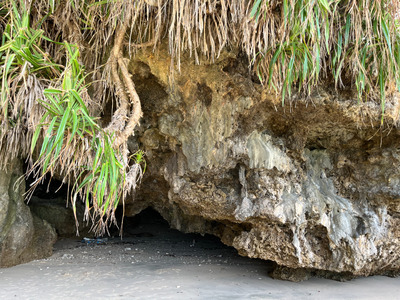
ハブロック
1
- 石垣島ボルダー / 久宇良エリア
- タイプ別: B6
- 標高: 約 3 m
- 駐車場から: 近め 0.0
お魚ハウス
石垣島ボルダー
久宇良エリア
24.55048472152452
124.29058104715617
0
6
0
0
0
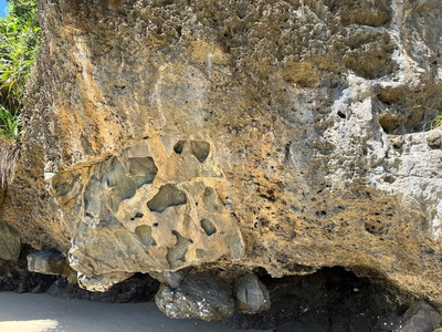
お魚ハウス
- 石垣島ボルダー / 久宇良エリア
- タイプ別: B6
- 標高: 約 1 m
- 駐車場から: 近め -1.7009854684525878
シャコガイ岩
石垣島ボルダー
明石エリア
24.548008998217163
124.30604364622623
0
1
0
0
0
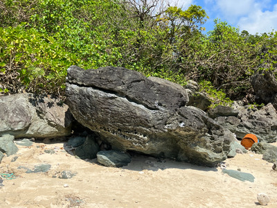
シャコガイ岩
- 石垣島ボルダー / 明石エリア
- タイプ別: B1
- 標高: 約 1 m
- 駐車場から: 近め -4.5563510985599763
Loading...
 Tap the Share button (a square with an arrow) at the bottom of the screen. If you can't find it, tap "…" and select "Share"