情報提供
How to Use
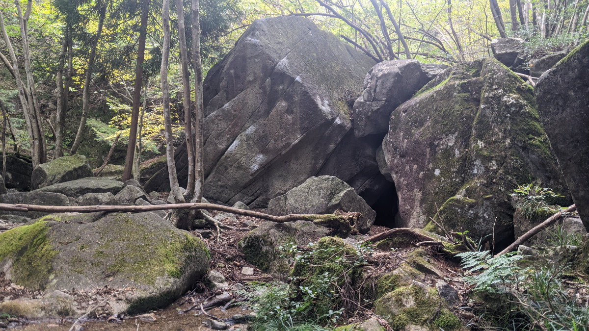
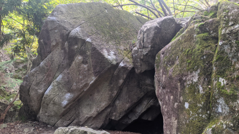
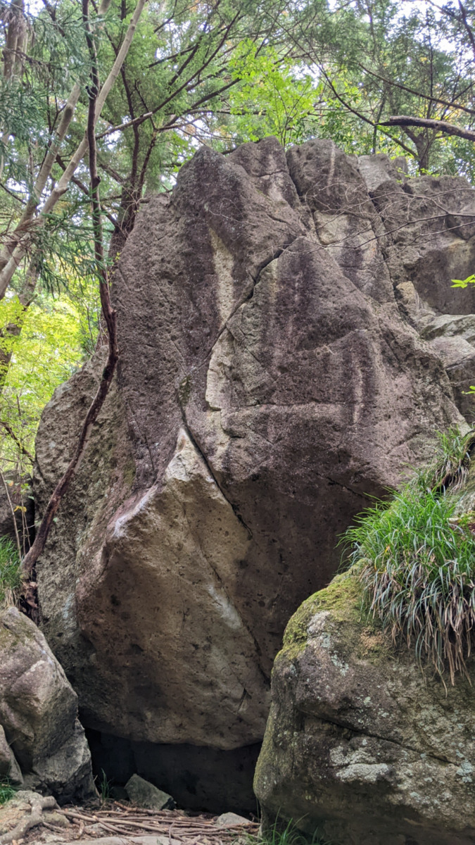
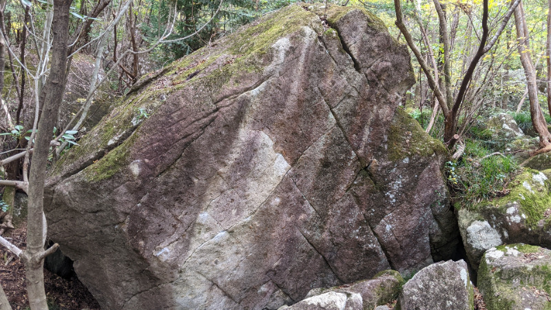
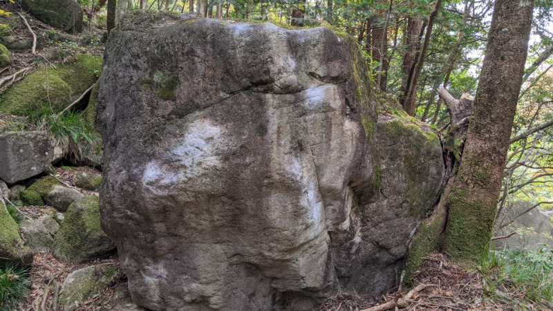
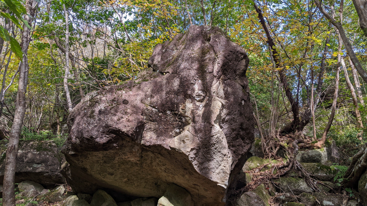
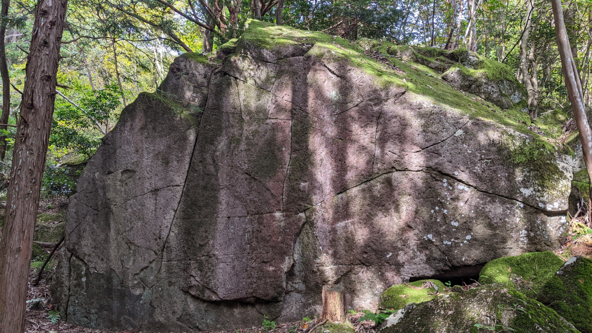
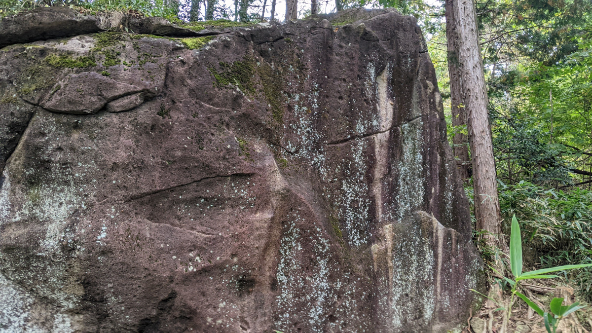
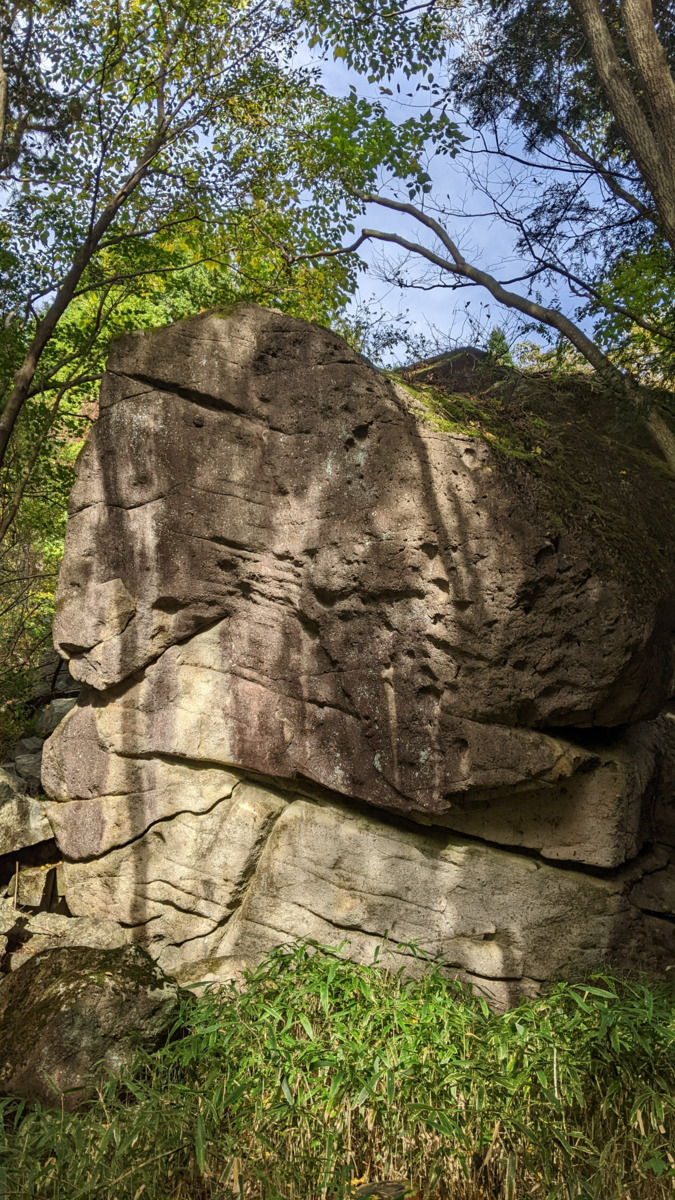
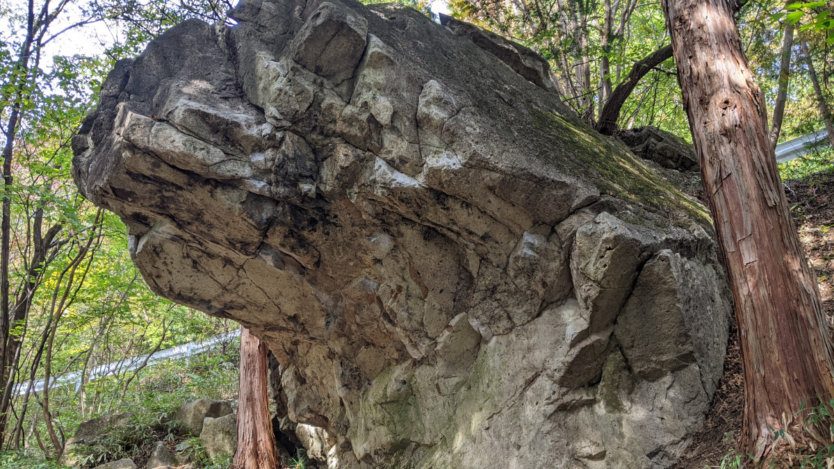
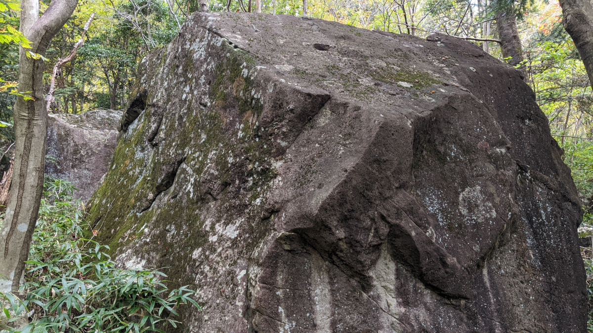
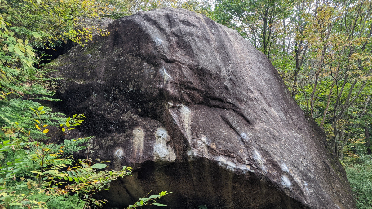
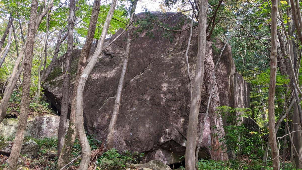
三角岩周辺
がばマントル岩、三角岩、無名岩、通り雨の岩、まめ岩
Basic Info
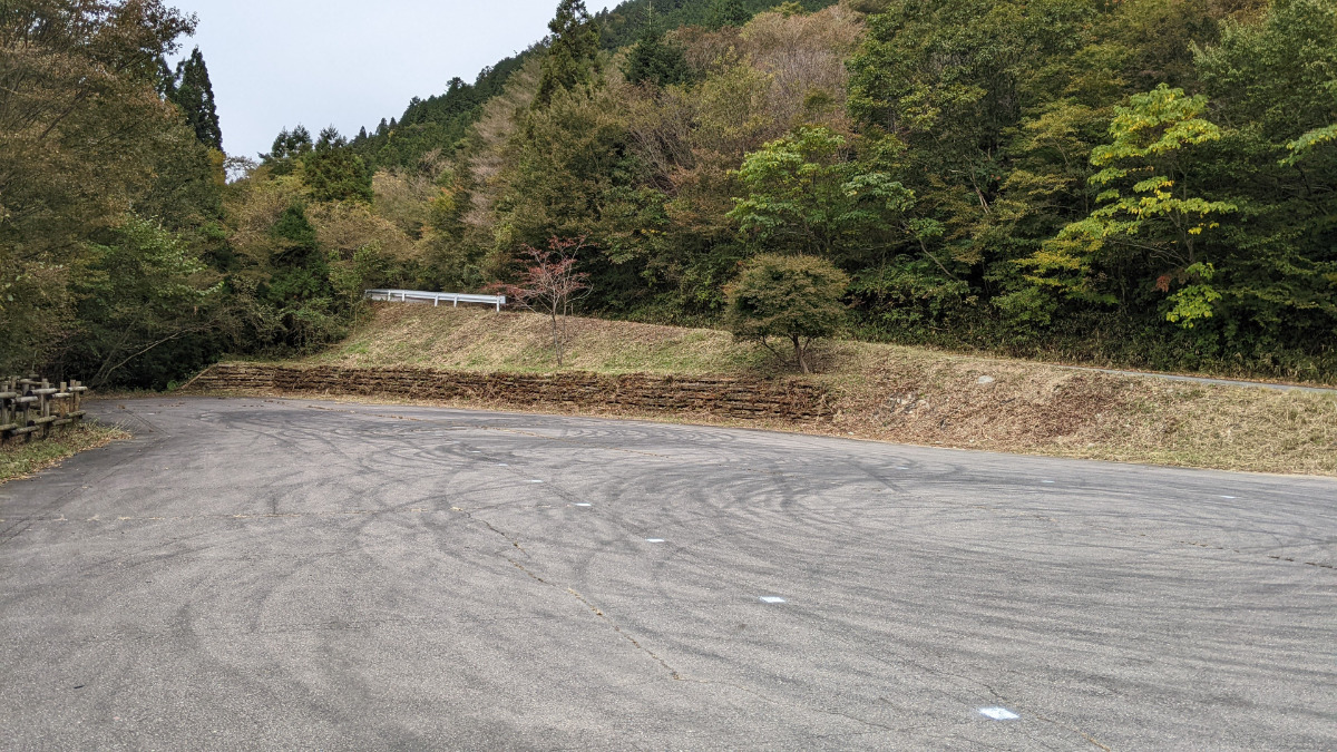
| Area Info | 岐阜県 / フクベ 上流・川エリア / |
|---|---|
| GPS Location | 35.6377206,136.8870447 |
| Elevation |
Approx. 651 m
Parking Elevation Approx. 716 m(Diff:-65 m) |
| Distance from Parking | 216 m |
| Favorites |
1
|
Route Distribution
Tap the bar chart to view routes for each grade.
ボルダー(11 routes)Routes
Tap red lines to show route name and grade
-
三角岩
-
無名岩
-
通り雨の岩
-
まめの岩
簡単
4~3級
2~1級
~三段

Loading...
動画
-
※自動抽出の動画
-
※自動抽出の動画
-
※自動抽出の動画
-
※自動抽出の動画
-
※自動抽出の動画
Comments
No comments yet.
Post CommentNearby Crags
突ガバ岩・おけいこ岩
フクベ
上流・山エリア
35.6379105
136.8877511
0
7
0
0
0
突ガバ岩・おけいこ岩
- フクベ / 上流・山エリア
- タイプ別: B7
- 難易度別: E4 M3
- 駐車場から: 近め -31.5774709764195252
アニーロック
フクベ
上流・川エリア
35.6369233
136.8885631
0
4
0
0
0
アニーロック
- フクベ / 上流・川エリア
- タイプ別: B4
- 難易度別: E2 M2
- 駐車場から: 近め -76.8607254027880575
師走の大掃除岩
フクベ
上流・山エリア
35.6379983
136.8891204
0
3
0
0
0
師走の大掃除岩
- フクベ / 上流・山エリア
- タイプ別: B3
- 難易度別: E3
- 駐車場から: 近め -32.0314490872516062
ダンカ岩
フクベ
上流・川エリア
35.6367028
136.8888361
0
3
0
0
0
ダンカ岩
- フクベ / 上流・川エリア
- タイプ別: B3
- 難易度別: E2 M1
- 駐車場から: 近め -87.7487952583796412
ミニハイカラ岩
フクベ
上流・山エリア
35.6375266
136.8895955
2
10
0
0
0
ミニハイカラ岩
2
- フクベ / 上流・山エリア
- タイプ別: B10
- 難易度別: E3 M6 H1
- 駐車場から: 近め -45.518097809291772
大駐車場前岩
フクベ
上流・山エリア
35.6398092
136.8865371
0
4
0
0
0
大駐車場前岩
- フクベ / 上流・山エリア
- タイプ別: B4
- 難易度別: E3 M1
- 駐車場から: 近め 0.61834121338617915
おおスラブ周辺
化石岩・おおスラブ・かぶと岩・さざなみ岩
フクベ
上流・山エリア
35.6381244
136.8898084
1
21
0
0
0
おおスラブ周辺
1
- フクベ / 上流・山エリア
- タイプ別: B21
- 難易度別: E13 M5 H3
- 駐車場から: 近め -20.5947564168627042
見晴らし岩・砦岩
フクベ
上流・山エリア
35.6379721
136.889983
0
15
0
0
0
見晴らし岩・砦岩
- フクベ / 上流・山エリア
- タイプ別: B15
- 難易度別: E6 M6 H3
- 駐車場から: 近め -25.2797155390747308
Loading...
×