情報提供
How to Use
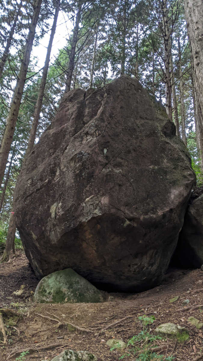
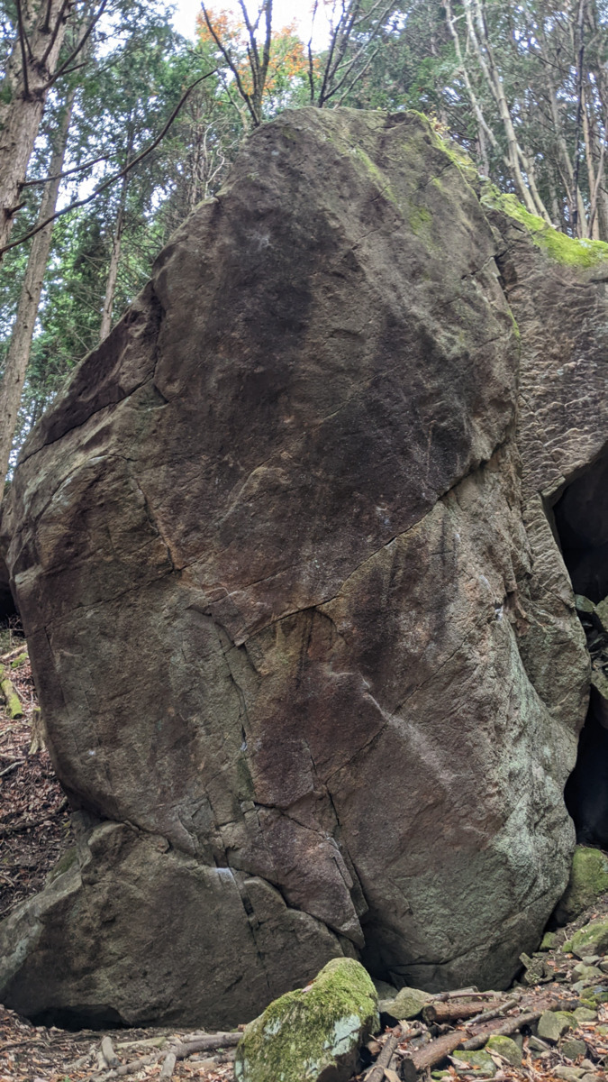
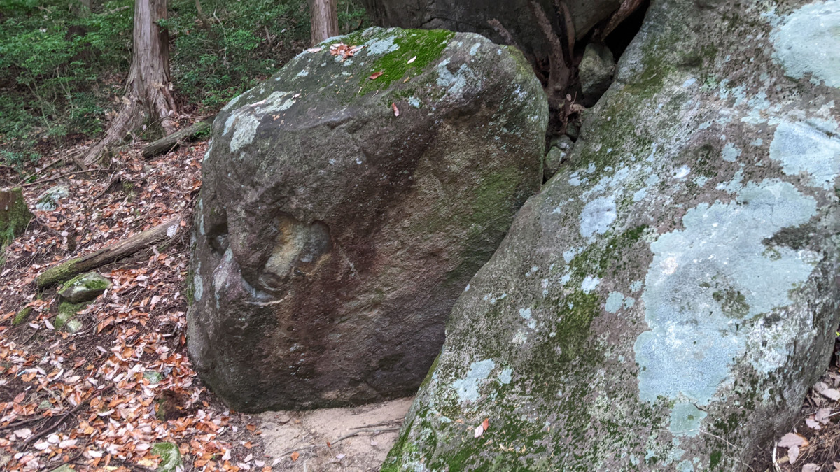
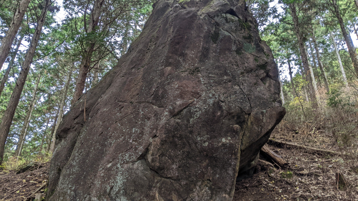
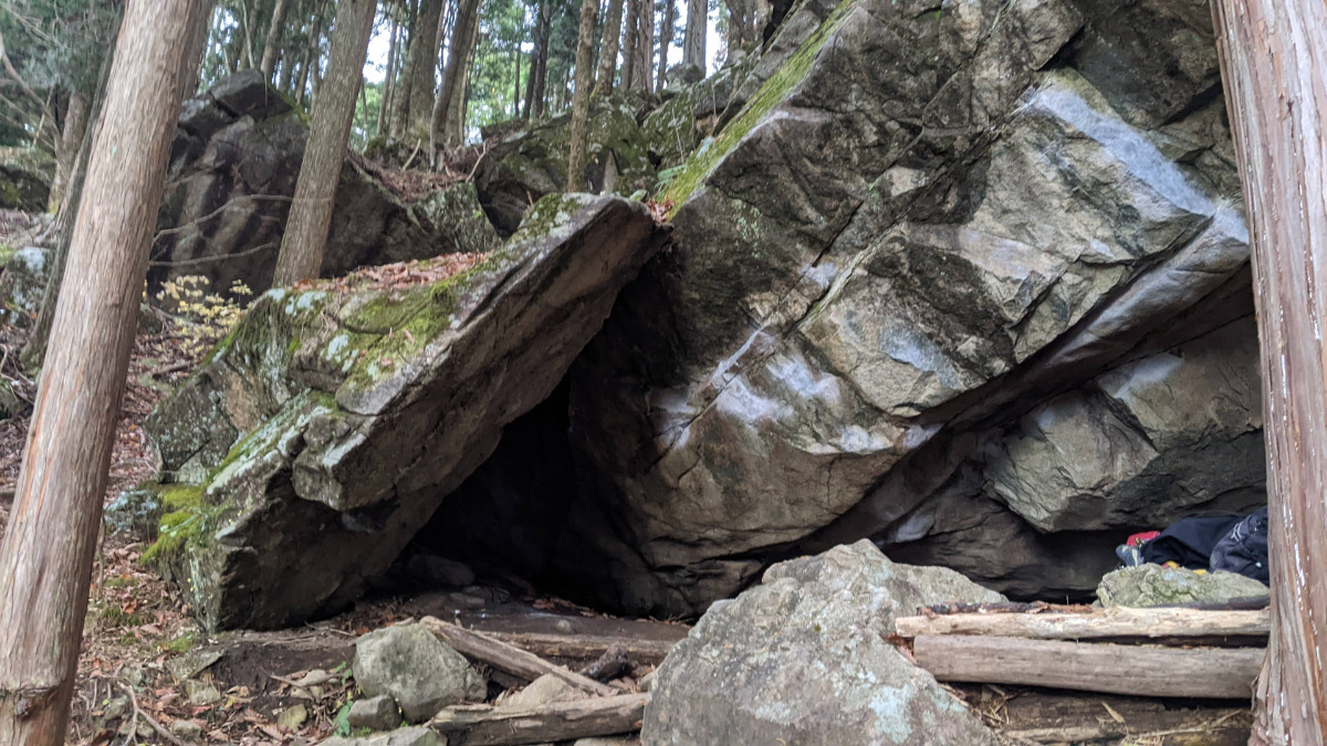
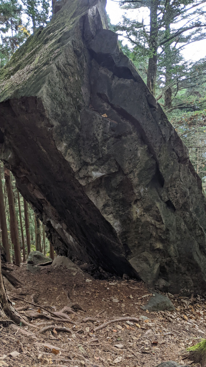
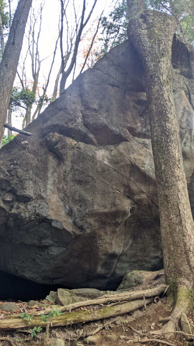
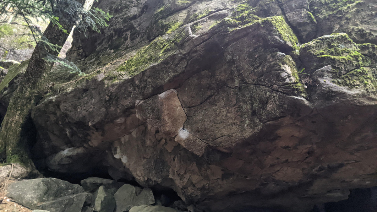
ムイムイ岩
Basic Info
| Area Info | 岐阜県 / 恵那・笠置山 猪まちエリア / |
|---|---|
| GPS Location | 35.50408413246773,137.34436318918546 |
| Elevation |
Approx. 920 m
Parking Elevation Approx. 972 m(Diff:-52 m) |
| Distance from Parking | 111 m |
Routes
Tap red lines to show route name and grade

簡単
5.10台
5.11台
クラック
フェイス
Comments
No comments yet.
Post CommentNearby Crags
ウテナ岩
恵那・笠置山
大岩コケエリア
35.5041481
137.3444887
0
5
0
0
0
ウテナ岩
- 恵那・笠置山 / 大岩コケエリア
- タイプ別: B5
- 難易度別: E2 M1 H2
- 駐車場から: 近め -15.48719151499493646
ハツ岩・牛タン岩
恵那・笠置山
大岩コケエリア
35.5042239941765
137.34445047852154
0
4
0
0
0
ハツ岩・牛タン岩
- 恵那・笠置山 / 大岩コケエリア
- タイプ別: B4
- 難易度別: E4
- 駐車場から: 近め -14.0111729133420996
クラッククラック・略奪岩
恵那・笠置山
大岩コケエリア
35.5043507
137.3444066
0
8
0
0
0
クラッククラック・略奪岩
- 恵那・笠置山 / 大岩コケエリア
- タイプ別: B8
- 難易度別: E5 M3
- 駐車場から: 近め -11.0485902034056036
イルガ
恵那・笠置山
大岩コケエリア
35.5041831
137.3448616
0
5
0
0
0
イルガ
- 恵那・笠置山 / 大岩コケエリア
- タイプ別: B5
- 難易度別: E1 M1 H3
- 駐車場から: 近め -9.96911330831934702
ナナメジ岩
恵那・笠置山
大岩コケエリア
35.5039702
137.3452501
0
9
0
0
0
ナナメジ岩
- 恵那・笠置山 / 大岩コケエリア
- タイプ別: B9
- 難易度別: E2 M2 H5
- 駐車場から: 近め -11.56805942991342912
しなだれ岩
恵那・笠置山
大岩コケエリア
35.5045704
137.3450996
0
5
0
0
0
しなだれ岩
- 恵那・笠置山 / 大岩コケエリア
- タイプ別: B5
- 難易度別: E1 H4
- 駐車場から: 近め -0.899377274956968
深海岩
恵那・笠置山
カモシカエリア
35.503167
137.34455
0
0
4
2
0

深海岩
- 恵那・笠置山 / カモシカエリア
- タイプ別: F4 C2
- 難易度別: E4 M2
- 駐車場から: 近め -56.2061496998231388
ルーフルール・ニキ岩
恵那・笠置山
大岩コケエリア
35.5037232
137.3454922
0
9
0
0
0
ルーフルール・ニキ岩
- 恵那・笠置山 / 大岩コケエリア
- タイプ別: B9
- 難易度別: E2 M3 H4
- 駐車場から: 近め -18.5402359209833604
Loading...
×