情報提供
How to Use
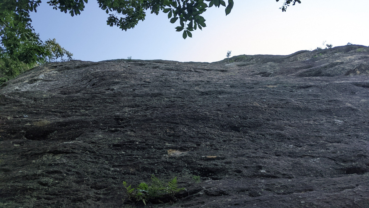
左岩 メインウォール
Checked in at 山神社 today:
0
Basic Info
| Area Info | 兵庫県 / 山神社 |
|---|---|
| GPS Location | 34.824642834298174,134.75551133229945 |
| Elevation |
Approx. 122 m
Parking Elevation Approx. 6 m(Diff:116 m) |
| Distance from Parking | 2094 m |
| Aspect / Sun Exposure |
SW, W
Sun Hours (Estimate)
SW: 9:00〜17:00
W: 11:50〜17:00
|
Route Distribution
Tap the bar chart to view routes for each grade.
リード(フェイス)(27 routes)⭐Recommended Routes
Sign in to get more
- Automatic route recommendations matched to your grade, based on your ascents
- Log your ascents and track your progress with charts
- Save favorite crags and routes, and view topos offline
Routes
Tap red lines to show the route card
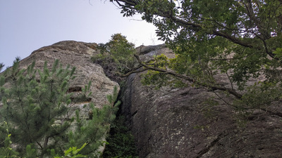
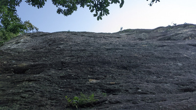
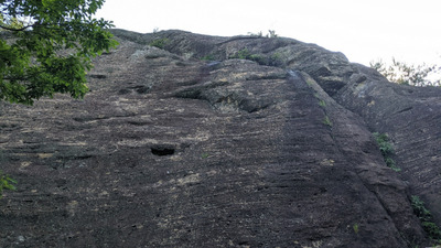
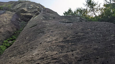
紺碧の宇宙へ
リード(フェイス)
5.11a
10
1
0
4
34.824642834298174
134.75551133229945
黄昏の大地
リード(フェイス)
5.11b
6
1
0
2
34.824642834298174
134.75551133229945
てんとう虫のサンバ
リード(フェイス)
5.10d
4
1
0
1
34.824642834298174
134.75551133229945
杮おとし
こけらおとし
Kokeraotoshi
リード(フェイス)
5.10c
2
0
0
1
34.824642834298174
134.75551133229945
アイビールート
リード(フェイス)
5.10b
2
0
0
1
34.824642834298174
134.75551133229945
チムチムカンテ
リード(フェイス)
5.10b
1
0
0
0
34.824642834298174
134.75551133229945
旧きを越えて
リード(フェイス)
5.10a
4
1
0
1
34.824642834298174
134.75551133229945
南洋じゃ美人
リード(フェイス)
5.9
3
0
0
2
34.824642834298174
134.75551133229945
ぶしゅぶしゅ麦人
リード(フェイス)
5.5
2
0
0
1
34.824642834298174
134.75551133229945
往生しまっせ
リード(フェイス)
5.11a/b
4
1
0
1
34.824642834298174
134.75551133229945
播州エレジー
リード(フェイス)
5.11b
4
1
0
1
34.824642834298174
134.75551133229945
苦労あるクロアール
リード(フェイス)
5.11b
4
1
0
1
34.824642834298174
134.75551133229945
Loading...
Nearby Crags
左岩 上部壁
山神社
34.8246244
134.7557316
0
0
8
0
0
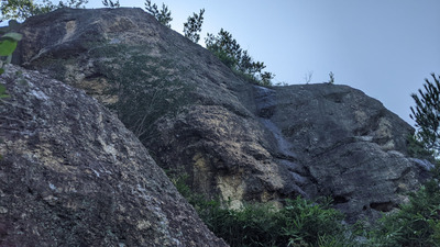
左岩 上部壁
- 山神社
- タイプ別: F8
- 標高: 約 137 m
- 駐車場から: 遠い 822.998334651907464
バットレス西面
山神社
34.8248592
134.7553078
0
0
6
0
0

バットレス西面
- 山神社
- タイプ別: F6
- 標高: 約 104 m
- 駐車場から: 遠め 622.15334169886086
下部スラブ・茸岩
山神社
34.8244083
134.7553158
0
0
13
0
0
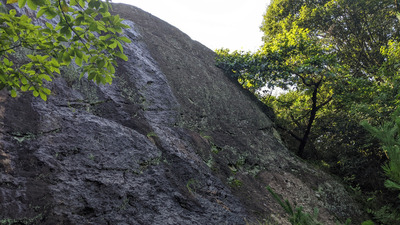
下部スラブ・茸岩
- 山神社
- タイプ別: F13
- 標高: 約 93 m
- 駐車場から: 遠め 539.295438408055884
向岩・ゴリラ岩
山神社
34.8248063
134.7549648
0
0
11
0
0
向岩・ゴリラ岩
- 山神社
- タイプ別: F11
- 標高: 約 91 m
- 駐車場から: 遠め 537.44177764377558
獅子岩前傾壁・中岩
山神社
34.8244048
134.7566348
1
0
10
0
0
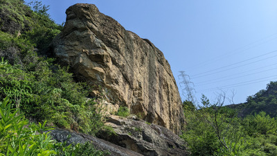
獅子岩前傾壁・中岩
1
- 山神社
- タイプ別: F10
- 標高: 約 141 m
- 駐車場から: 遠い 842.747264690808645
Loading...
 Tap the Share button (a square with an arrow) at the bottom of the screen. If you can't find it, tap "…" and select "Share"