情報提供
How to Use
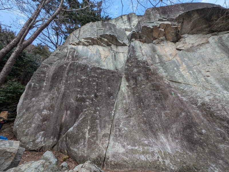

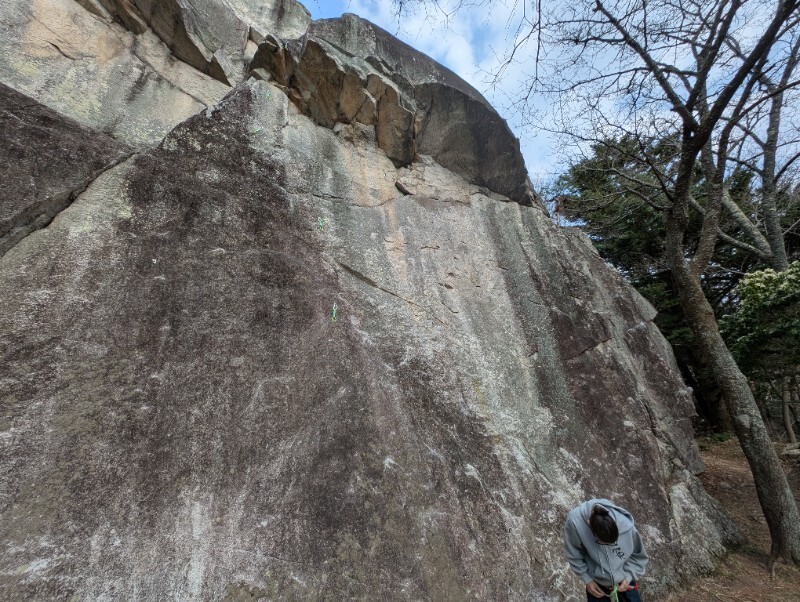
ハーフドーム
Basic Info
| Area Info | 福島県 / 丑ノ倉 |
|---|---|
| GPS Location | 37.153441479131985,140.8799586455385 |
| Elevation |
Approx. 271 m
Parking Elevation Approx. 253 m(Diff:18 m) |
| Distance from Parking | 56 m |
Route Distribution
Tap the bar chart to view routes for each grade.
リード(フェイス)(20 routes)
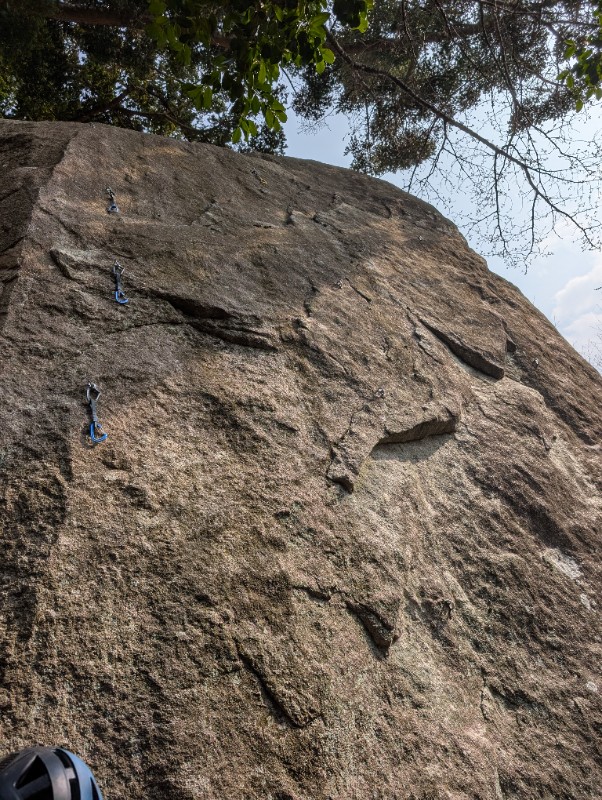
Routes
Tap red lines to show route name and grade

簡単
5.10台
5.11台
クラック
フェイス
ピンクの子ブタ
リード(フェイス)
5.11c
3
0
1
1
37.153441479131985
140.8799586455385
西稜カンテ
リード(フェイス)
5.11a
2
0
0
1
37.153441479131985
140.8799586455385
サニーサイドストリート ハングvar
リード(フェイス)
5.10c
1
0
0
0
37.153441479131985
140.8799586455385
ワン・トゥー・スリー
リード(フェイス)
5.9
2
0
0
1
37.153441479131985
140.8799586455385

Loading...
動画
-
※自動抽出の動画
-
※自動抽出の動画
-
※自動抽出の動画
-
※自動抽出の動画
-
※自動抽出の動画
Comments
No comments yet.
Post CommentNearby Crags
Loading...
×