情報提供
How to Use

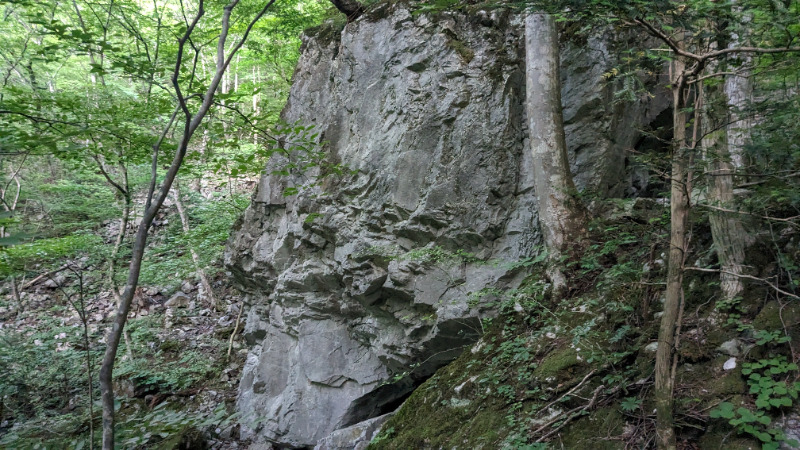
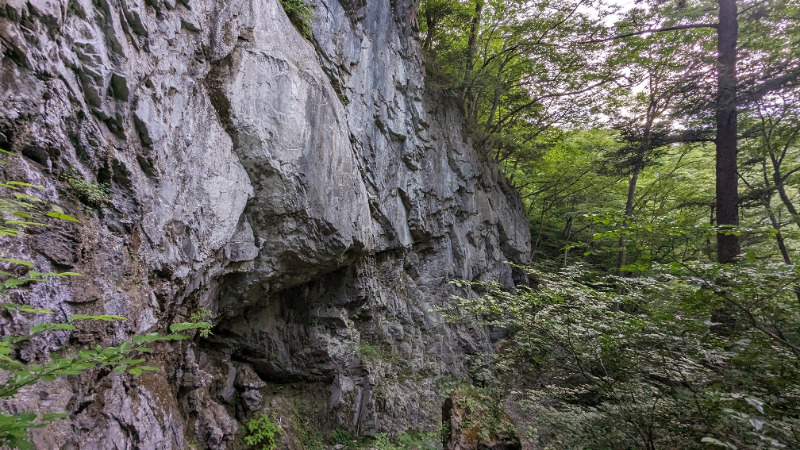
小林ロック
Basic Info
| Area Info | 福島県 / 真野川 |
|---|---|
| GPS Location | 37.715138560377206,140.8398522624838 |
| Elevation |
Approx. 154 m
Parking Elevation Approx. 108 m(Diff:46 m) |
| Distance from Parking | 137 m |
Route Distribution
Tap the bar chart to view routes for each grade.
リード(フェイス)(2 routes)Routes
Tap red lines to show route name and grade
簡単
5.10台
5.11台
クラック
フェイス

Loading...
Comments
No comments yet.
Post CommentNearby Crags
真野川メインウォール
真野川
37.7149242
140.840086
0
0
24
0
0
真野川メインウォール
- 真野川
- タイプ別: F24
- 難易度別: E3 M11 H10
- 駐車場から: 近め 35.3924310932209317
Loading...
×