情報提供
How to Use
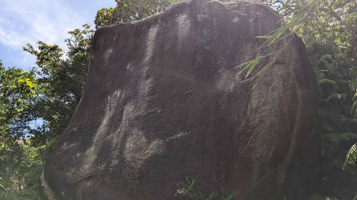
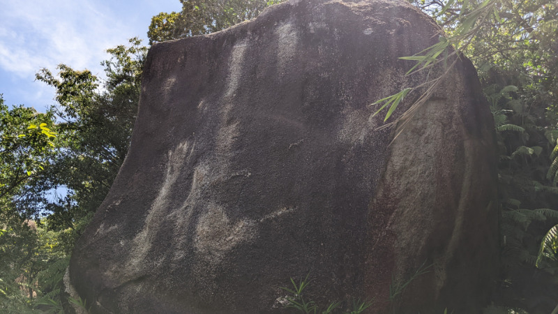
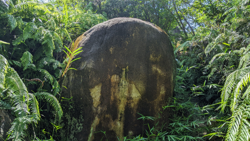
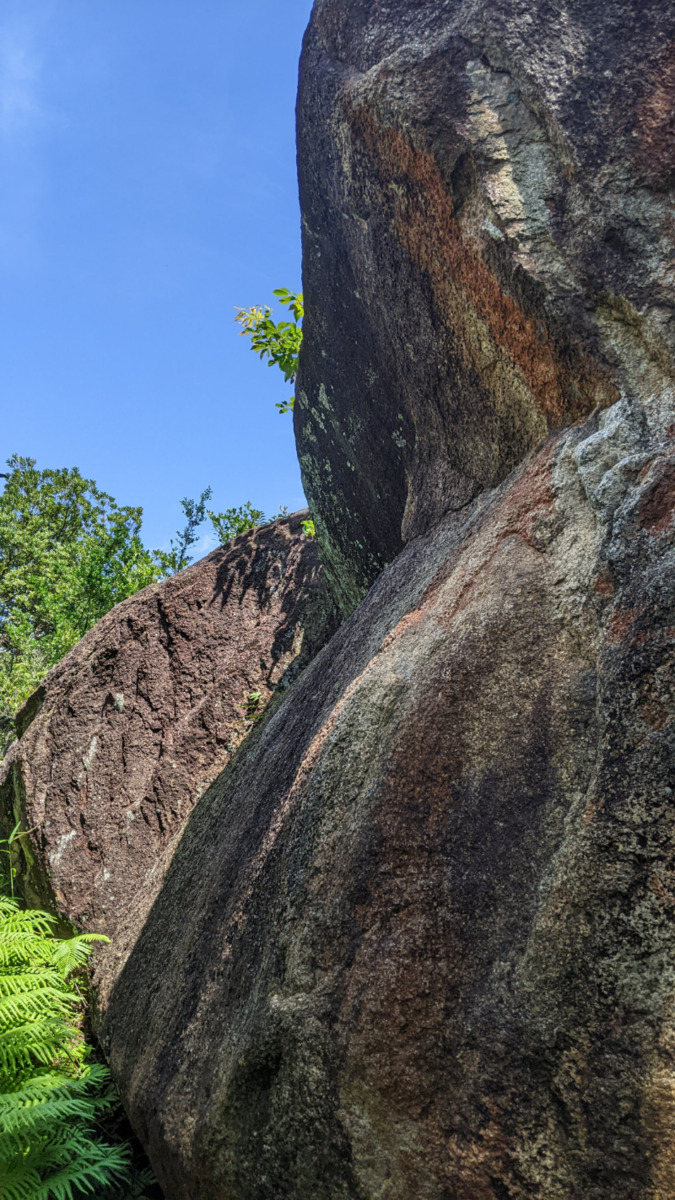
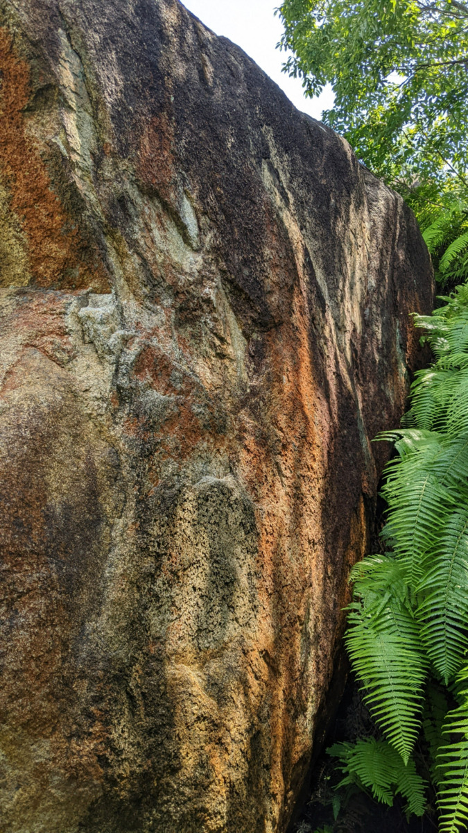
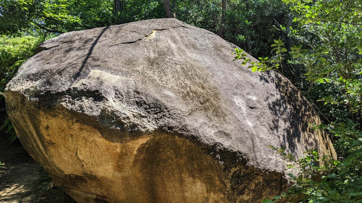
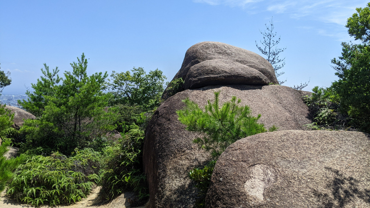
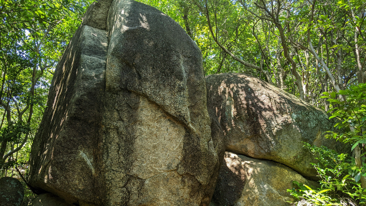
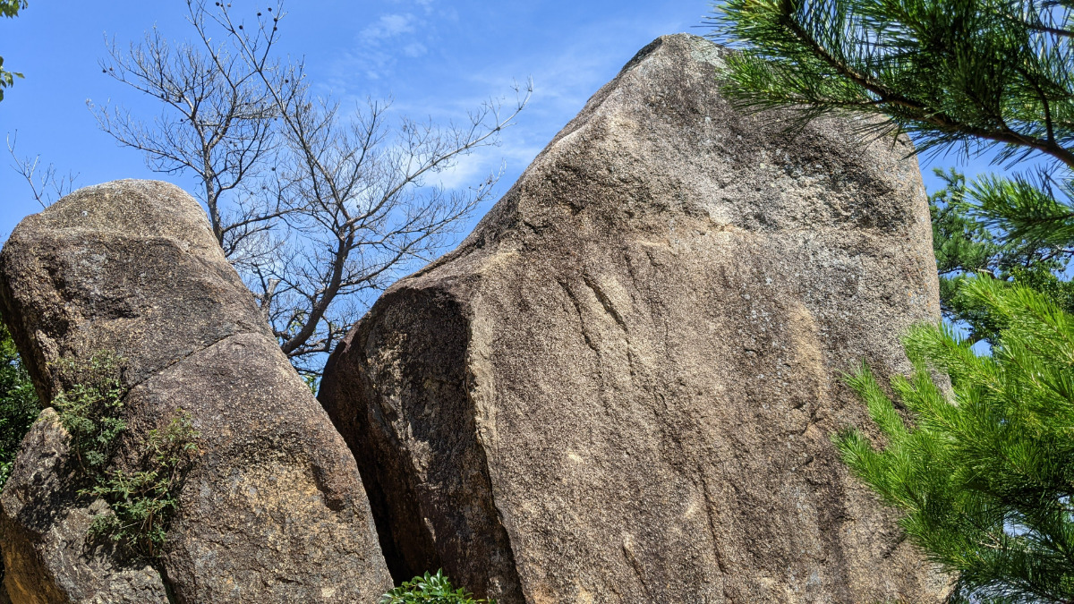
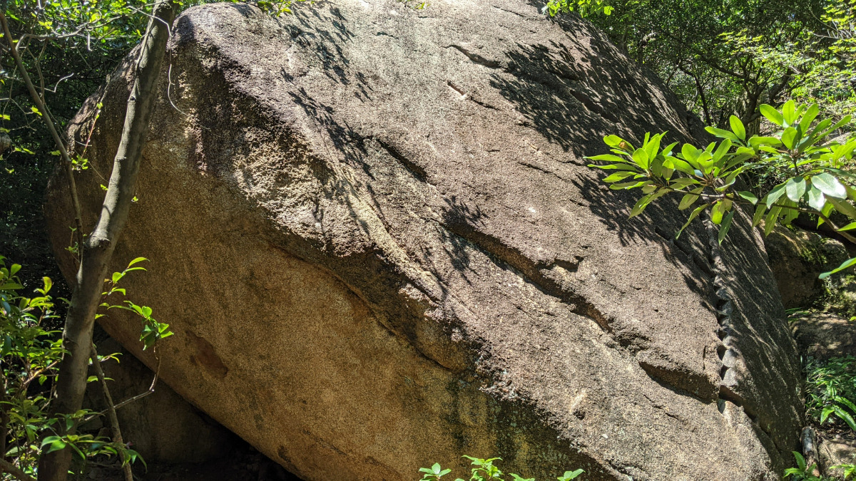
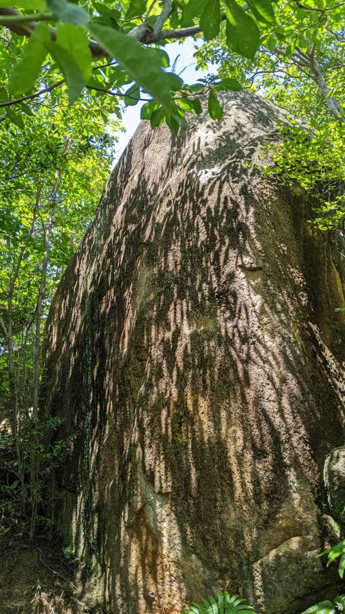
木下フェイス周辺
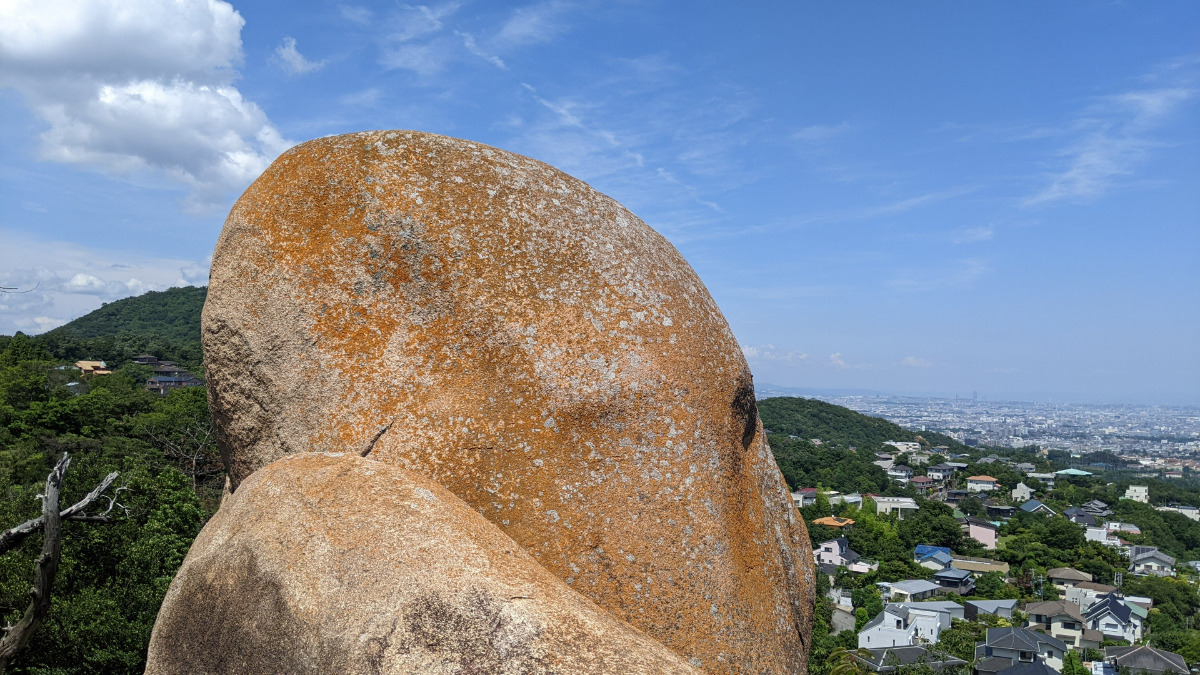
Basic Info
| Area Info | 兵庫県 / 北山公園 |
|---|---|
| GPS Location | 34.7655087,135.3219828 |
| Elevation |
Approx. 206 m
Parking Elevation Approx. 180 m(Diff:26 m) |
| Distance from Parking | 484 m |
| Favorites |
1
|
Route Distribution
Tap the bar chart to view routes for each grade.
ボルダー(11 routes)Routes
Tap red lines to show route name and grade
-
木下フェース
-
弁当岩
-
Σ(シグマ)フェースの岩
-
-
ノリ弁当ロック
-
簡単
4~3級
2~1級
~三段

Loading...
動画
-
※自動抽出の動画
-
※自動抽出の動画
-
※自動抽出の動画
-
※自動抽出の動画
-
※自動抽出の動画
Comments
No comments yet.
Post CommentNearby Crags
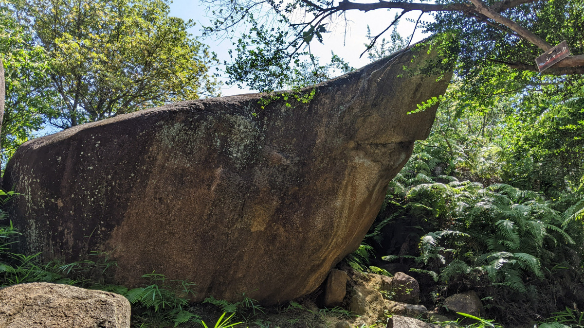
アドレナリン・シャーク周辺
北山公園
34.7655957
135.3222285
0
12
0
0
0
アドレナリン・シャーク周辺
- 北山公園
- タイプ別: B12
- 難易度別: M9 H3
- 駐車場から: 近め 28.9411313788660044
バーカーヘッド
北山公園
34.7656505
135.3217501
1
6
0
0
0
バーカーヘッド
1
- 北山公園
- タイプ別: B6
- 難易度別: E4 M2
- 駐車場から: 近め 43.313305657504104
ボルダータワー
北山公園
34.7651875
135.3222942
0
9
0
0
0
ボルダータワー
- 北山公園
- タイプ別: B9
- 難易度別: E6 M3
- 駐車場から: 近め 42.7052810767120524
オモロイヤロック周辺
北山公園
34.7651134
135.3221709
0
13
0
0
0
オモロイヤロック周辺
- 北山公園
- タイプ別: B13
- 難易度別: E10 M3
- 駐車場から: 近め 41.7153792047360508
インシュリンの岩
北山公園
34.7658271
135.3215298
0
3
0
0
0
インシュリンの岩
- 北山公園
- タイプ別: B3
- 難易度別: M3
- 駐車場から: 近め 40.523944475488734
火の用心
北山公園
34.7660978
135.3218624
0
11
0
0
0
火の用心
- 北山公園
- タイプ別: B11
- 難易度別: E3 M8
- 駐車場から: 近め 54.1132073110156764
テーブルロック
北山公園
34.7659185
135.3213273
1
5
0
0
0
テーブルロック
1
- 北山公園
- タイプ別: B5
- 難易度別: E3 M2
- 駐車場から: 近め 33.9266792047651728
時をカケル少女
北山公園
34.7660986
135.3215546
0
1
0
0
0
時をカケル少女
- 北山公園
- タイプ別: B1
- 難易度別: M1
- 駐車場から: 近め 52.5088845253101546
Loading...
×