情報提供
How to Use

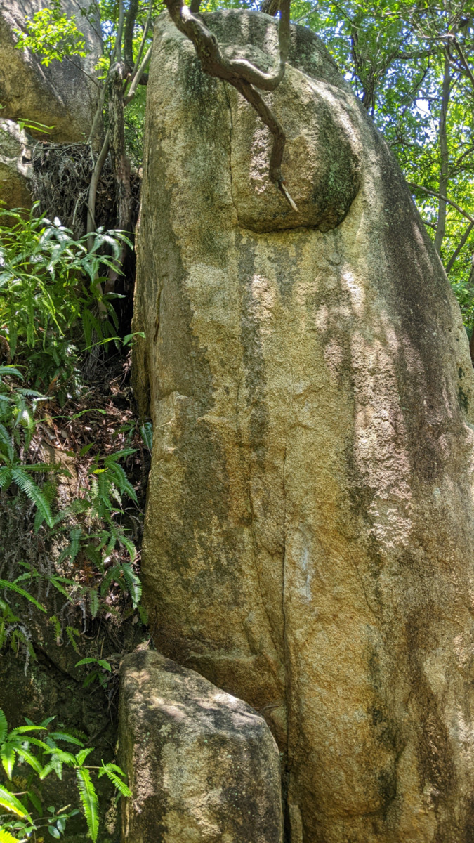
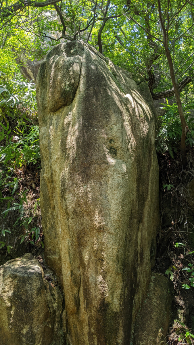
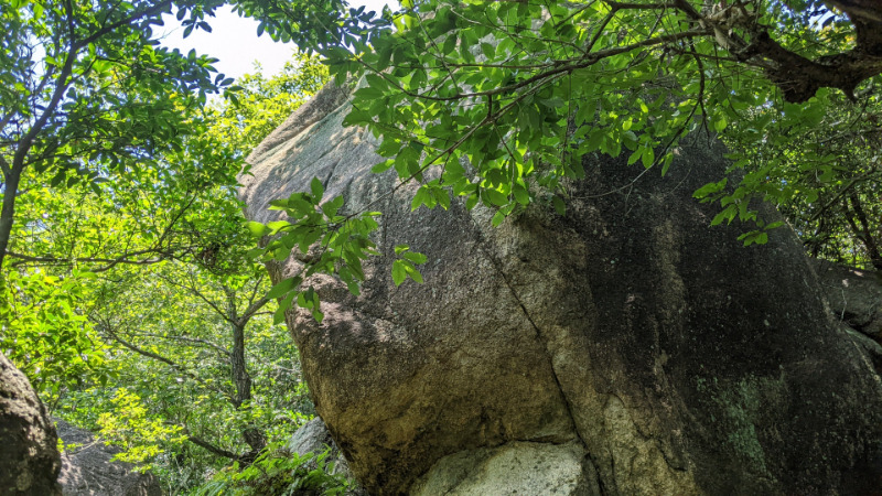
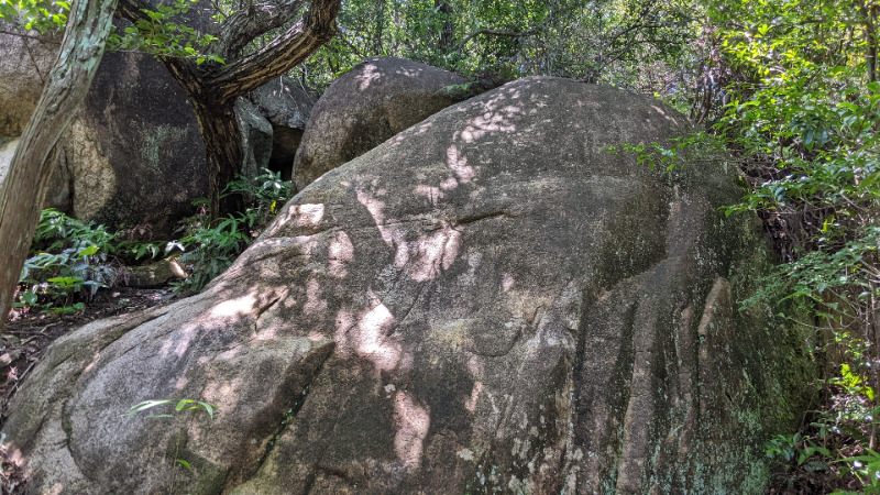
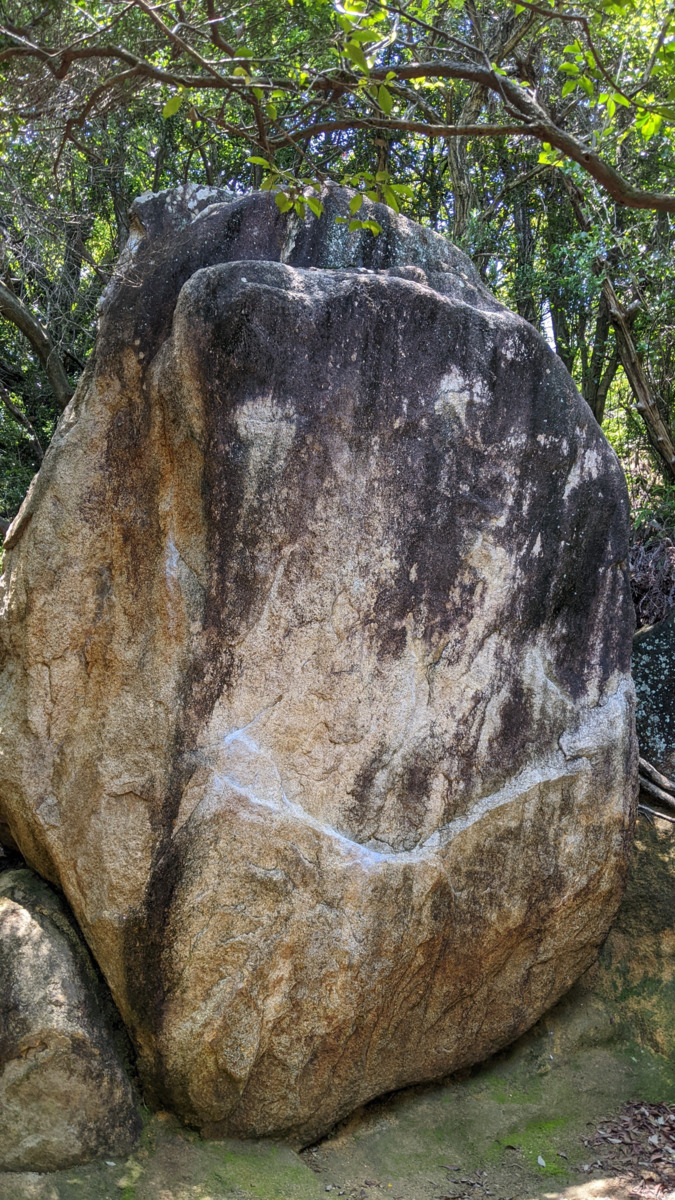
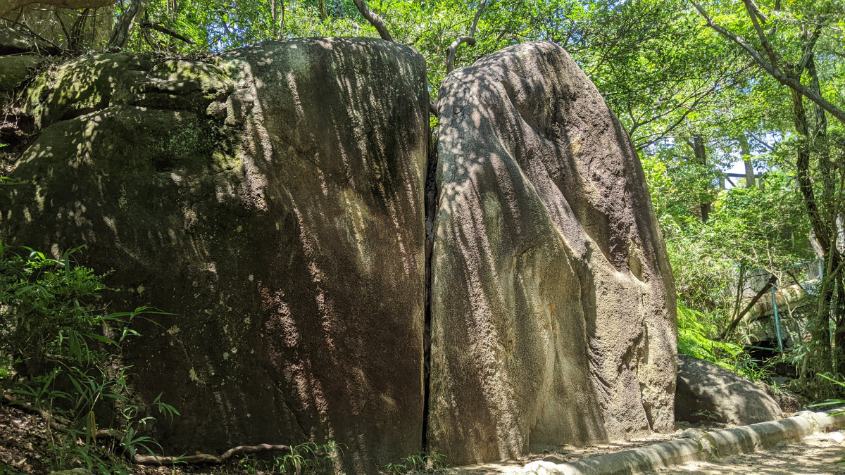
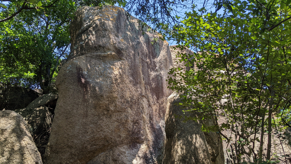
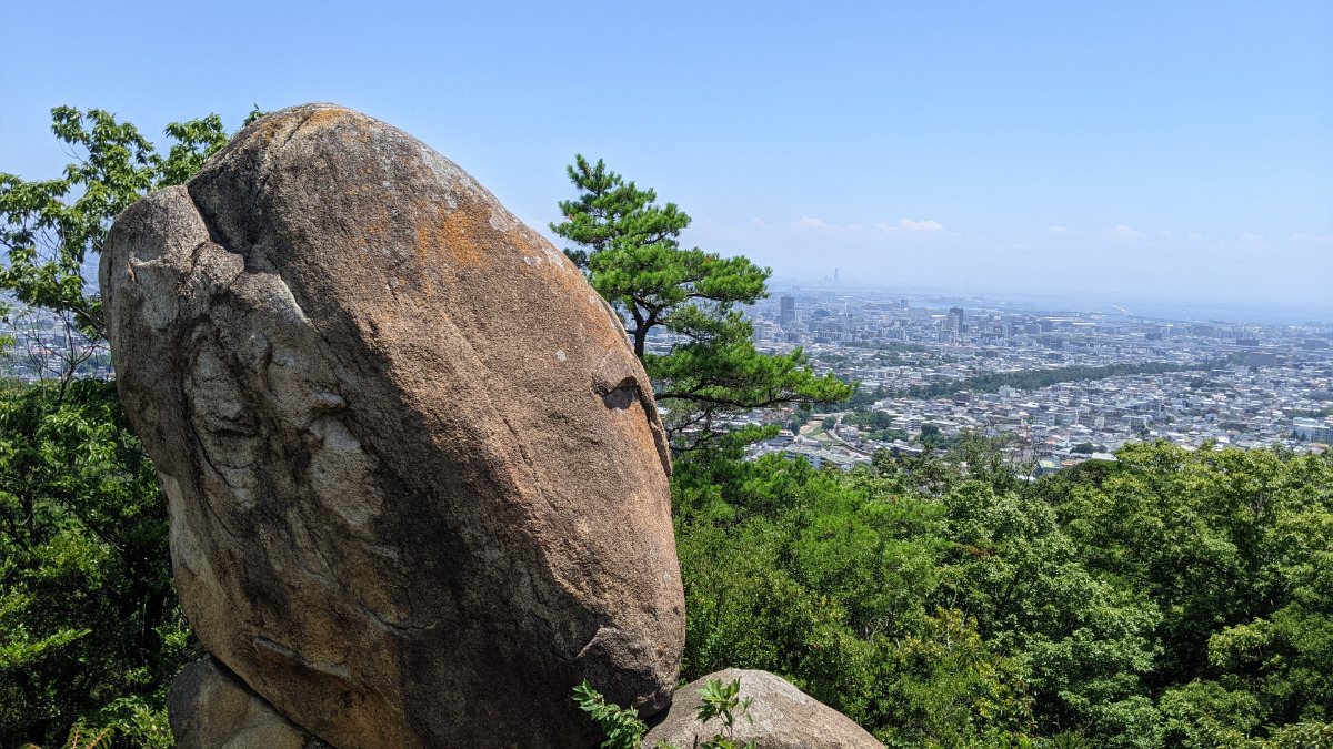
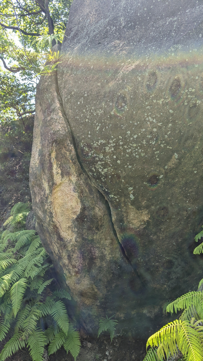
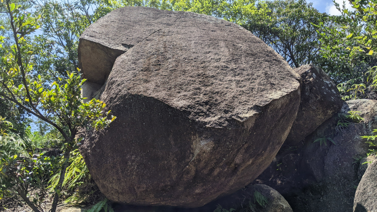
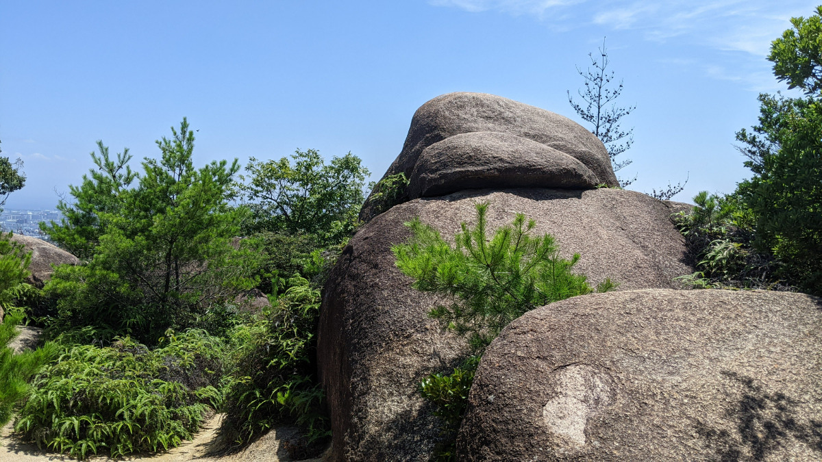
あこがれスラブ周辺
Basic Info
| Area Info | 兵庫県 / 北山公園 |
|---|---|
| GPS Location | 34.76259826317881,135.32234004198088 |
| Elevation |
Approx. 165 m
Parking Elevation Approx. 180 m(Diff:-15 m) |
| Distance from Parking | 570 m |
Route Distribution
Tap the bar chart to view routes for each grade.
ボルダー(5 routes)
Routes
Tap red lines to show route name and grade
-
ドラの音
-
-
あこがれスラブ上の岩
-
あこがれスラブ
簡単
4~3級
2~1級
~三段

Loading...
動画
-
※自動抽出の動画
-
※自動抽出の動画
-
※自動抽出の動画
-
※自動抽出の動画
Comments
No comments yet.
Post CommentNearby Crags
パチンコ岩
北山公園
34.7625114
135.3221598
1
5
0
0
0
パチンコ岩
1
- 北山公園
- タイプ別: B5
- 難易度別: E2 M3
- 駐車場から: 近め -36.930691189293528
将棋岩と周辺
北山公園
34.7626952
135.3218517
1
8
0
0
0
将棋岩と周辺
1
- 北山公園
- タイプ別: B8
- 難易度別: E1 M6 H1
- 駐車場から: 近め -22.0545779223727734
あこがれランド
北山公園
34.763113
135.3229598
1
9
0
0
0
あこがれランド
1
- 北山公園
- タイプ別: B9
- 難易度別: E4 M5
- 駐車場から: 近め -41.4193756797376869
エレファントノーズ周辺
北山公園
34.7634375
135.3223586
0
14
0
0
0
エレファントノーズ周辺
- 北山公園
- タイプ別: B14
- 難易度別: E7 M7
- 駐車場から: 近め 12.8835941985645528
バットマンズフレークの岩
北山公園
34.7634713
135.3225775
0
2
0
0
0
バットマンズフレークの岩
- 北山公園
- タイプ別: B2
- 難易度別: M2
- 駐車場から: 近め 0.0
タブチロック
北山公園
34.7636778
135.3224139
0
3
0
0
0
タブチロック
- 北山公園
- タイプ別: B3
- 難易度別: E1 M1 H1
- 駐車場から: 近め 14.4301337883292122
オモロイヤロック周辺
北山公園
34.7651134
135.3221709
0
13
0
0
0
オモロイヤロック周辺
- 北山公園
- タイプ別: B13
- 難易度別: E10 M3
- 駐車場から: 近め 41.7153792047360508
ボルダータワー
北山公園
34.7651875
135.3222942
0
9
0
0
0
ボルダータワー
- 北山公園
- タイプ別: B9
- 難易度別: E6 M3
- 駐車場から: 近め 42.7052810767120524
Loading...
×