情報提供
How to Use
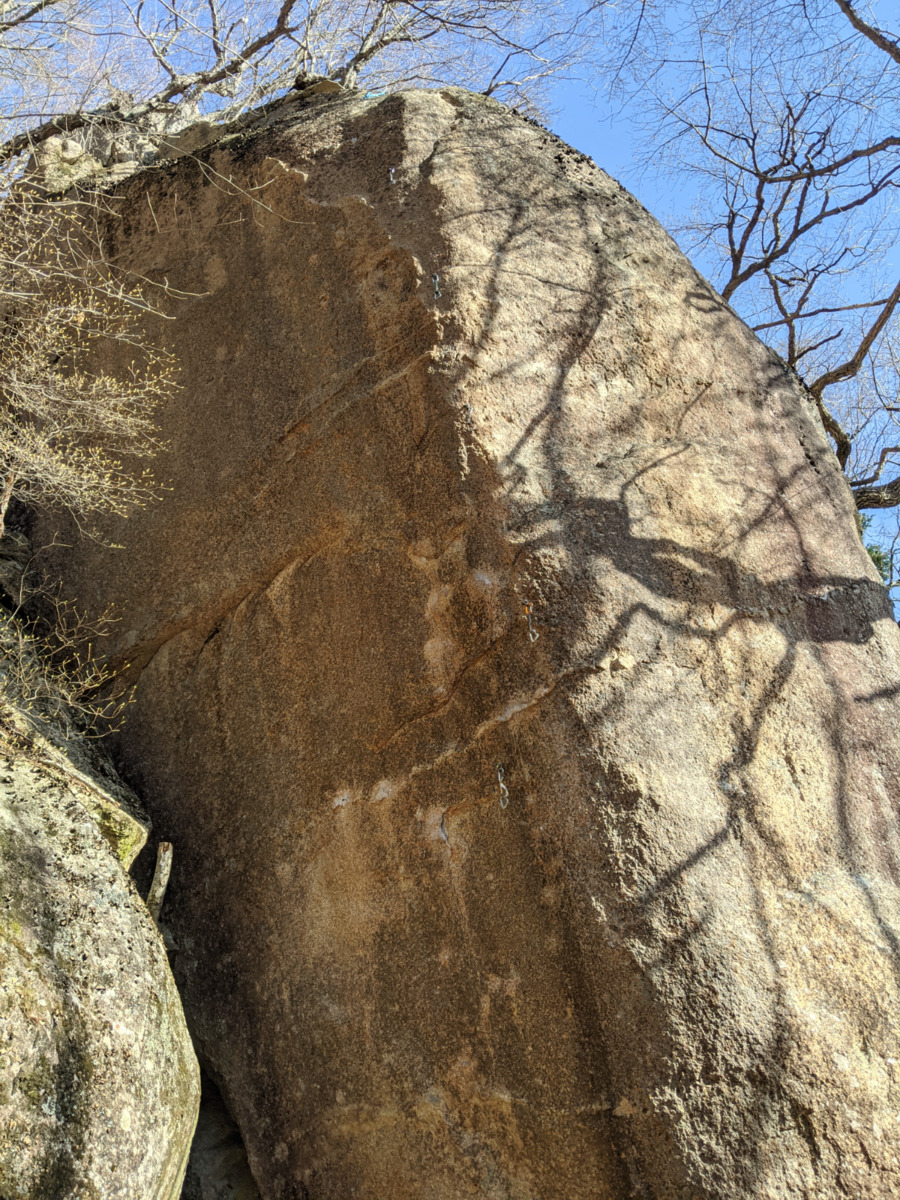
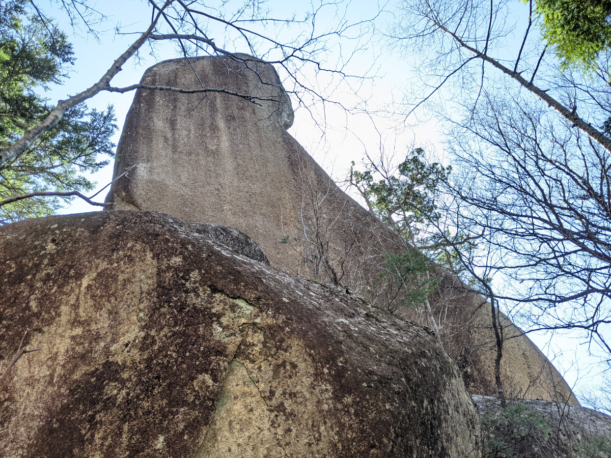
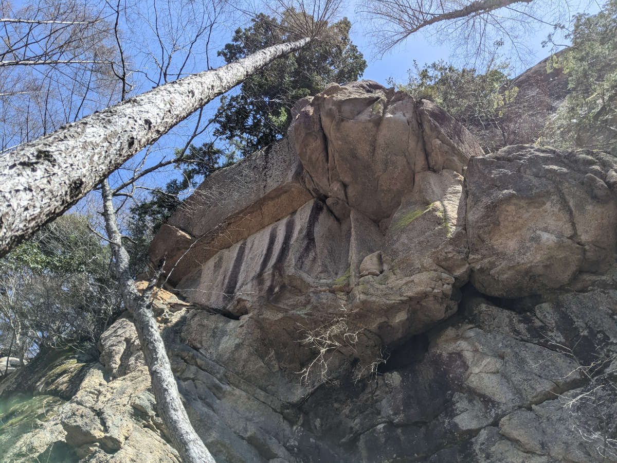
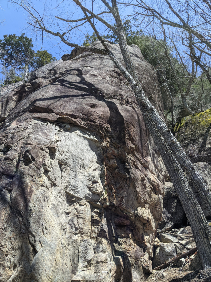
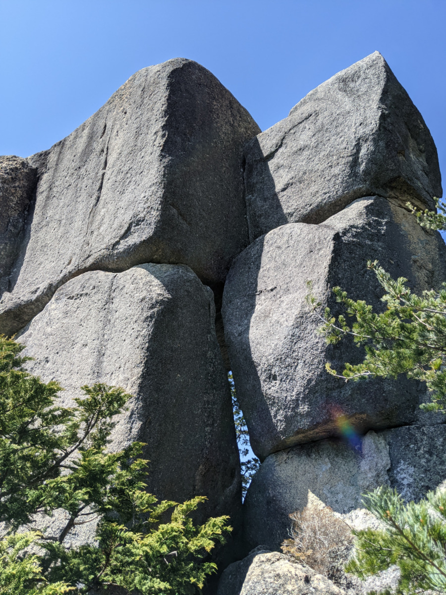
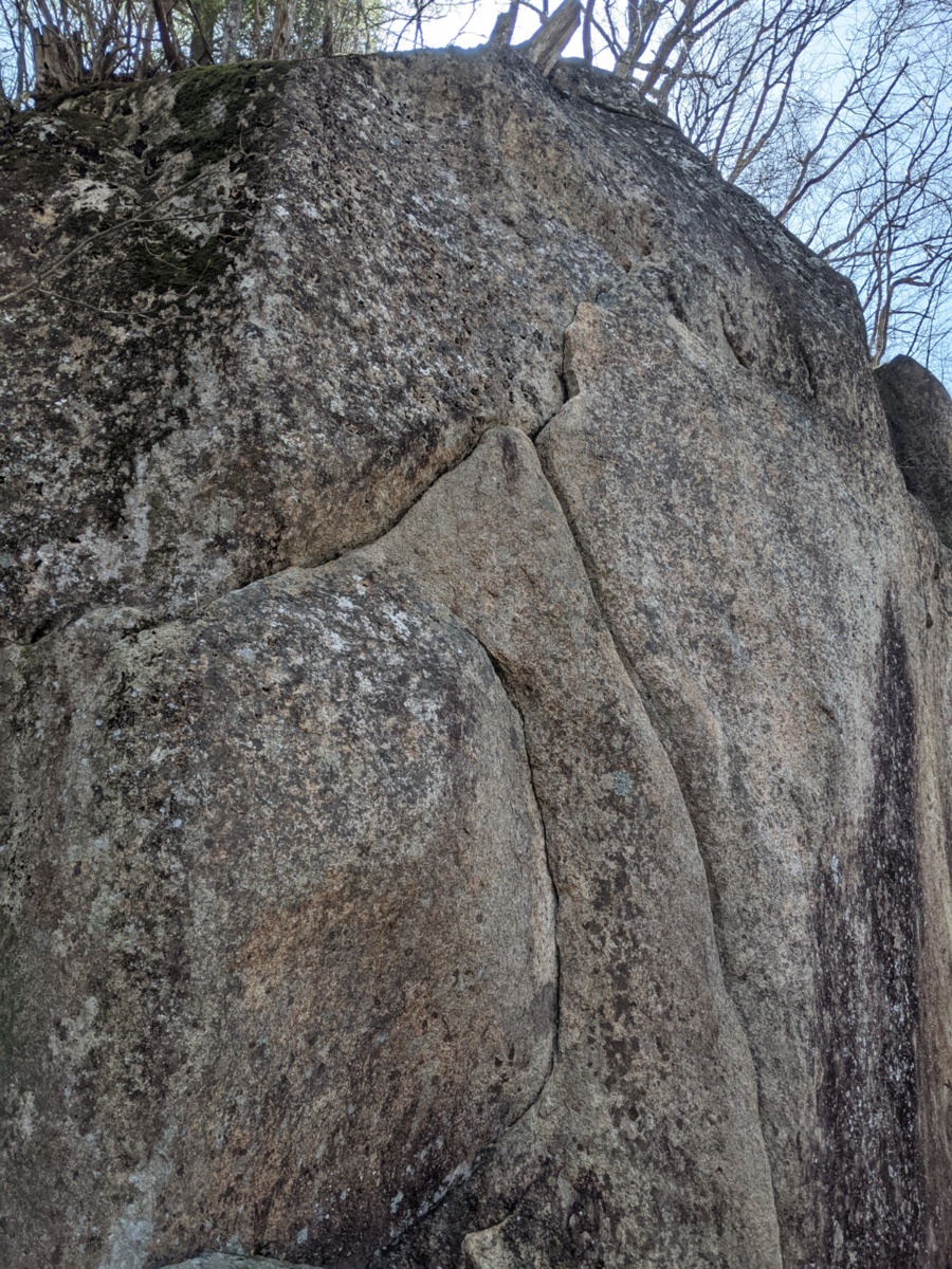
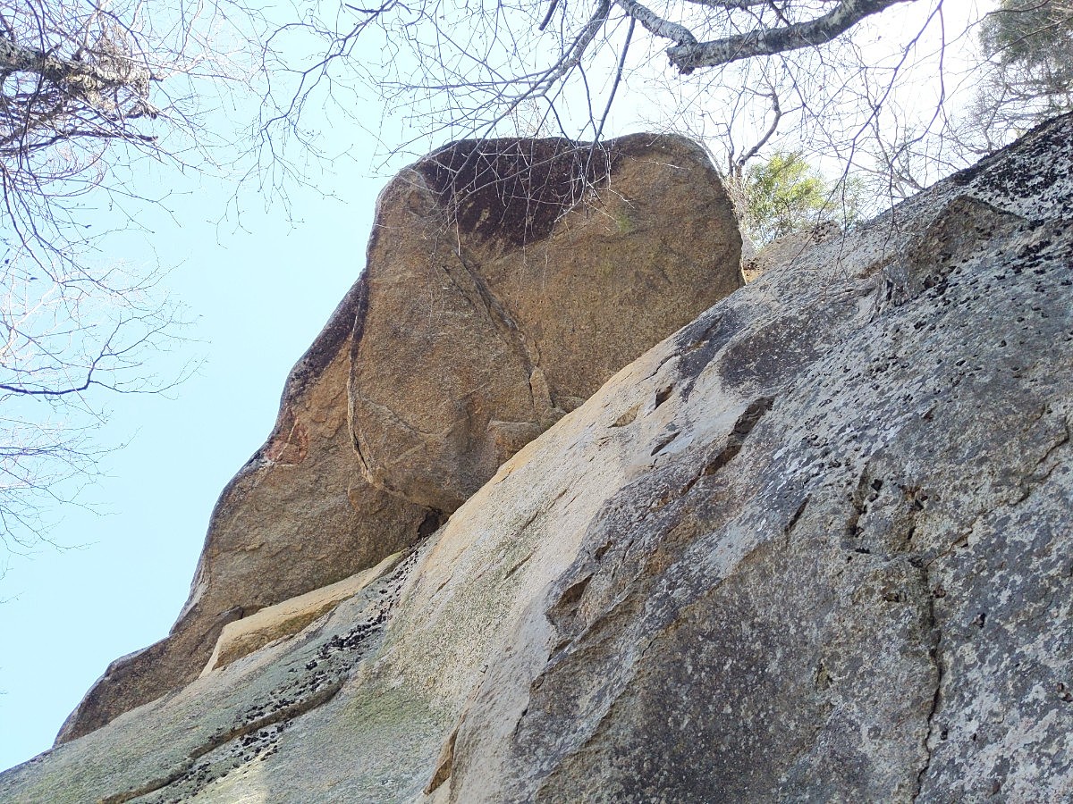
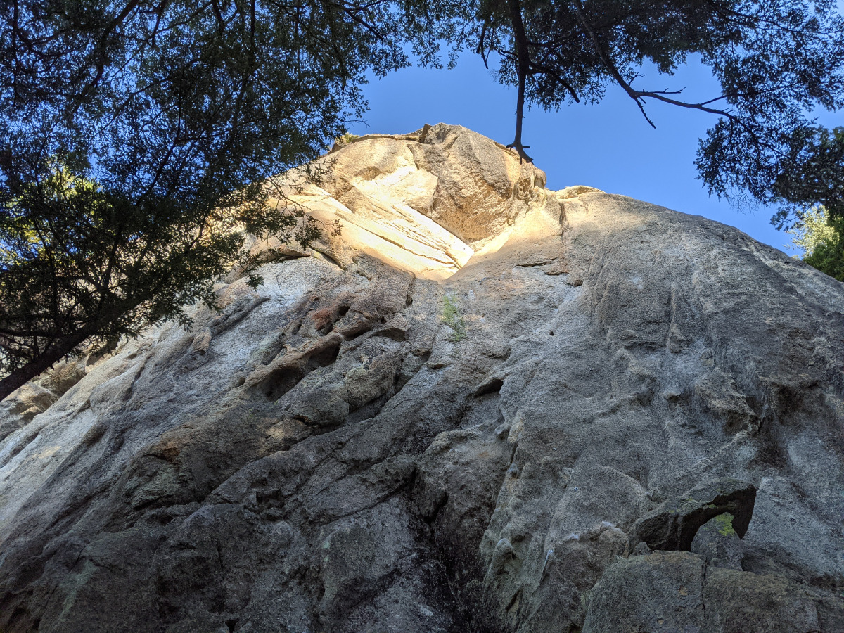
拝月塔
Basic Info
| Area Info | 山梨県 / 瑞牆山 植樹祭エリア / |
|---|---|
| GPS Location | 35.8928543,138.5776378 |
| Elevation |
Approx. 1551 m
Parking Elevation Approx. 1471 m(Diff:80 m) |
| Distance from Parking | 548 m |
| First Ascensionists |
Route Distribution
Tap the bar chart to view routes for each grade.
リード(フェイス)(1 routes)

Routes
Tap red lines to show route name and grade

簡単
5.10台
5.11台
クラック
フェイス

Loading...
動画
-
※自動抽出の動画
Comments
No comments yet.
Post CommentNearby Crags
カメ岩
瑞牆山
植樹祭エリア
35.892750544826384
138.57886842968853
1
0
4
2
1
カメ岩
1
- 瑞牆山 / 植樹祭エリア
- タイプ別: F4 C2 M1
- 難易度別: E2 M4 H1
- 駐車場から: そこそこ 301.300745387865516
ツル岩
瑞牆山
植樹祭エリア
35.892673
138.5790666
0
0
2
3
0
ツル岩
- 瑞牆山 / 植樹祭エリア
- タイプ別: F2 C3
- 難易度別: E2 M1 H2
- 駐車場から: そこそこ 308.4720672539679732
しじま谷
瑞牆山
植樹祭エリア
35.8936942
138.5789573
1
0
10
11
0
しじま谷
1
- 瑞牆山 / 植樹祭エリア
- タイプ別: F10 C11
- 難易度別: E7 M7 H7
- 駐車場から: そこそこ 222.354462791710431
ダイワハウチュ
瑞牆山
植樹祭エリア
35.8944689
138.5790655
0
0
4
4
0
ダイワハウチュ
- 瑞牆山 / 植樹祭エリア
- タイプ別: F4 C4
- 難易度別: E1 M5 H2
- 駐車場から: そこそこ 253.8625839448623942
キューピーママの岩塔
瑞牆山
植樹祭エリア
35.8944994
138.5798725
1
0
1
5
0
キューピーママの岩塔
1
- 瑞牆山 / 植樹祭エリア
- タイプ別: F1 C5
- 難易度別: E3 M1 H2
- 駐車場から: そこそこ 421.8855143480283264
ねじねじの岩場
瑞牆山
植樹祭エリア
35.895331
138.5781504
0
0
0
5
0
ねじねじの岩場
- 瑞牆山 / 植樹祭エリア
- タイプ別: C5
- 難易度別: E4 M1
- 駐車場から: 近め 131.8095590676476718
チョーサイコールーフの岩塔
瑞牆山
植樹祭エリア
35.8958611
138.5780998
0
0
4
3
0
チョーサイコールーフの岩塔
- 瑞牆山 / 植樹祭エリア
- タイプ別: F4 C3
- 難易度別: E2 M3 H2
- 駐車場から: 近め 98.658178737034005
カンマンボロン
瑞牆山
パノラマコース周辺の岩場
35.893986504654656
138.5827930601883
1
0
11
10
7
カンマンボロン
1
- 瑞牆山 / パノラマコース周辺の岩場
- タイプ別: F11 C10 M7
- 難易度別: E1 M6 H21
- 駐車場から: 遠い 828.1156257460997988
Loading...
×