情報提供
How to Use
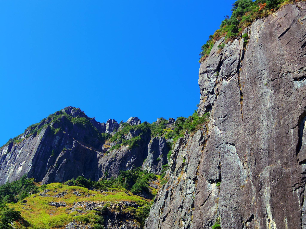
This area includes alpine climbing routes. Anchors may be less robust than sport crags.

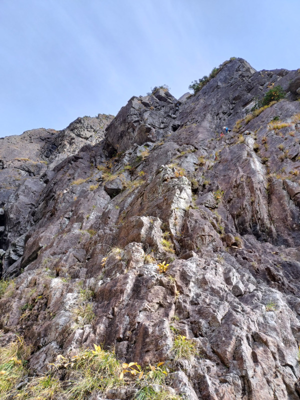

錫杖岳前衛フェース・北沢側
Basic Info
| Area Info | 岐阜県 / 錫杖岳 |
|---|---|
| GPS Location | 36.27911599062131,137.55017183337108 |
| Elevation |
Approx. 1791 m
Parking Elevation Approx. 971 m(Diff:820 m) |
| Distance from Parking | 2002 m |
Route Distribution
Tap the bar chart to view routes for each grade.
マルチ(3 routes)
![]() よりお願い
よりお願い
このサイトは有志により開発・運営されています。
サーバ代等の運営費用は広告費や寄付で賄っていますが現状赤字運営です。
全画面の広告などは利用したくありませんし、できれば広告も設置したくありません。
便利・良いねと思ったら以下ボタンより寄付をしていただけると助かります。
Routes
Tap red lines to show route name and grade

簡単
5.10台
5.11台
クラック
フェイス
注文の多い料理店
マルチ
最高グレード 5.8
22
1
0
10
36.27911599062131
137.55017183337108

Ground Up
マルチ
最高グレード 5.11a
1
0
0
0
36.27911599062131
137.55017183337108
Loading...
動画
-
※自動抽出の動画

Comments
No comments yet.
Post CommentNearby Crags
錫杖岳前衛フェース
錫杖岳
36.279398935171336
137.55171139989895
0
0
0
0
32
錫杖岳前衛フェース
- 錫杖岳
- タイプ別: M32
- 難易度別: E25 M5 H2
- 駐車場から: 遠い 4503.499905146557731
- アルパインルートを含むエリア
錫杖岳本峰フェース
錫杖岳
36.28009971038439
137.5489523638218
0
0
0
0
2

錫杖岳本峰フェース
- 錫杖岳
- タイプ別: M2
- 難易度別: E1 M1
- 駐車場から: 遠い 6300.35391911005665
- アルパインルートを含むエリア
Loading...
×