情報提供
How to Use
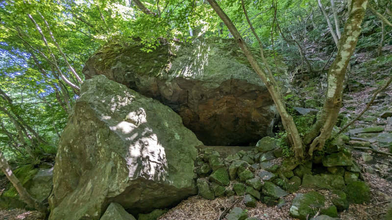
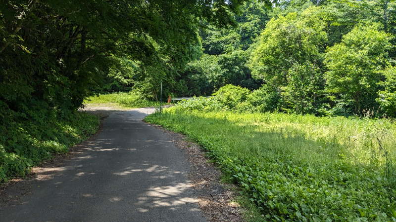
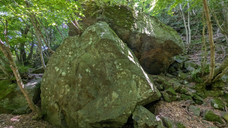
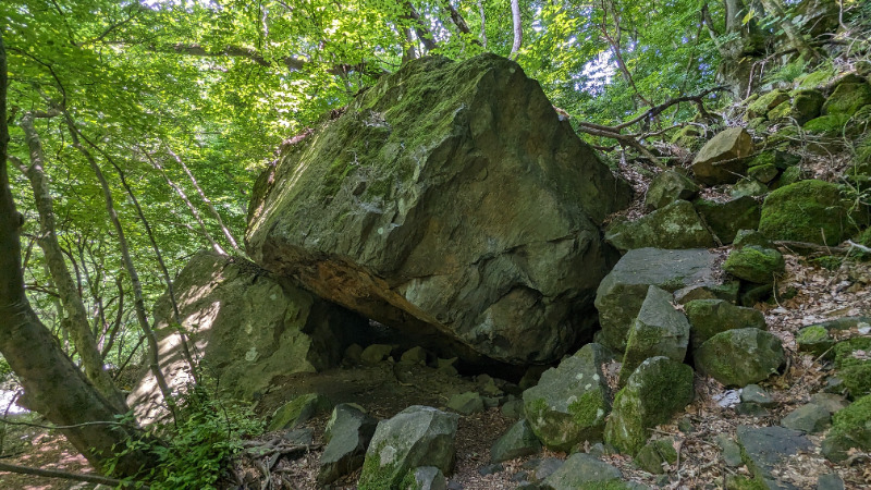
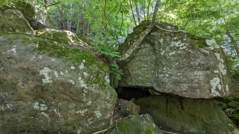
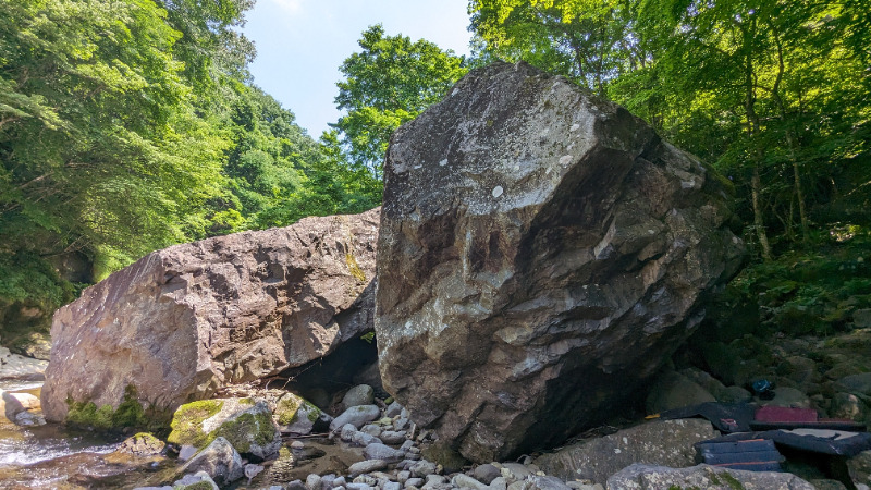
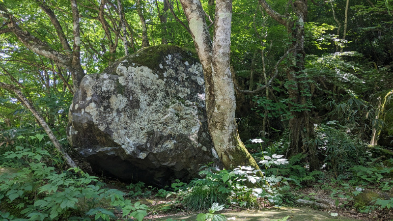
林道岩
Basic Info
| Area Info | 宮城県 / 大倉ボルダー |
|---|---|
| GPS Location | 38.3581849,140.6785775 |
| Elevation |
Approx. 314 m
Parking Elevation Approx. 335 m(Diff:-21 m) |
| Distance from Parking | 655 m |
Route Distribution
Tap the bar chart to view routes for each grade.
ボルダー(7 routes)
Routes
Tap red lines to show route name and grade

簡単
4~3級
2~1級
~三段

Loading...
動画
-
※自動抽出の動画
-
※自動抽出の動画
Comments
No comments yet.
Post CommentNearby Crags
テーブル岩周辺
大倉ボルダー
38.3583455
140.6787481
0
7
0
0
0
テーブル岩周辺
- 大倉ボルダー
- タイプ別: B7
- 難易度別: E5 M2
- 駐車場から: 近め -61.1986241137415085
汁岩周辺
大倉ボルダー
38.3584299
140.6787605
0
19
0
0
0
汁岩周辺
- 大倉ボルダー
- タイプ別: B19
- 難易度別: E6 M8 H5
- 駐車場から: 近め -70.662749461021278
犬岩周辺
大倉ボルダー
38.3584312
140.6788645
0
6
0
0
0
犬岩周辺
- 大倉ボルダー
- タイプ別: B6
- 難易度別: E2 M4
- 駐車場から: 近め -79.454234555419212
Loading...
×