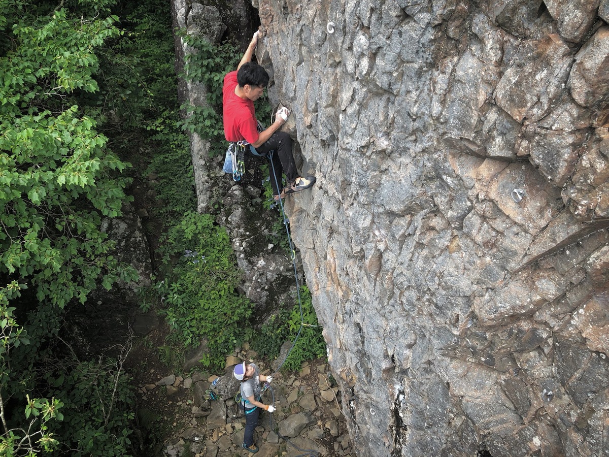
坊抱岩/アッサーⅡ
坊抱岩/コズミックワールド
坊抱岩/信濃国の風に吹かれて


坊抱岩/信濃国の風に吹かれて
坊抱岩/ライジング・サン
坊抱岩/芸者ワルツ
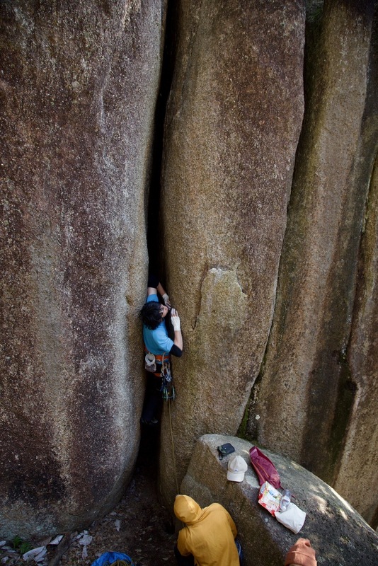
坊抱岩/無名チムニー
坊抱岩/芸者ワルツ
坊抱岩/ライジング・サン

坊抱岩/コズミックワールド
.jpg)
.jpg)