情報提供
How to Use

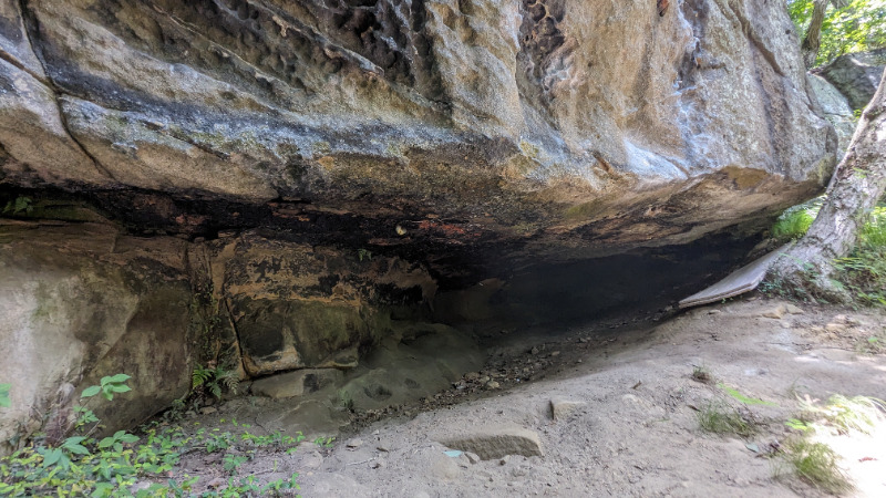
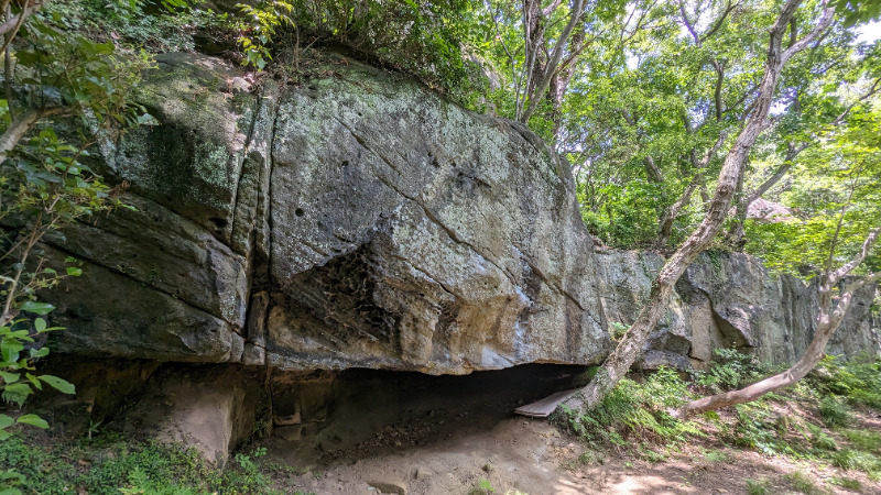
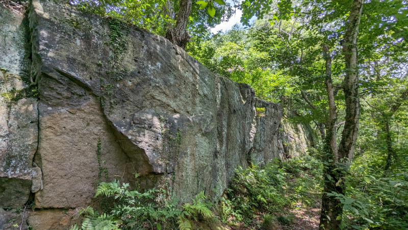
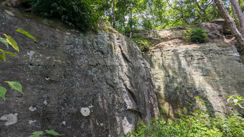
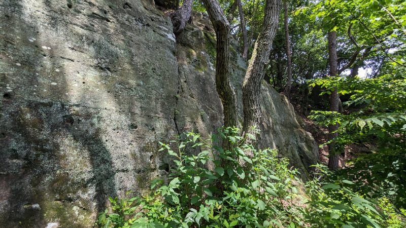
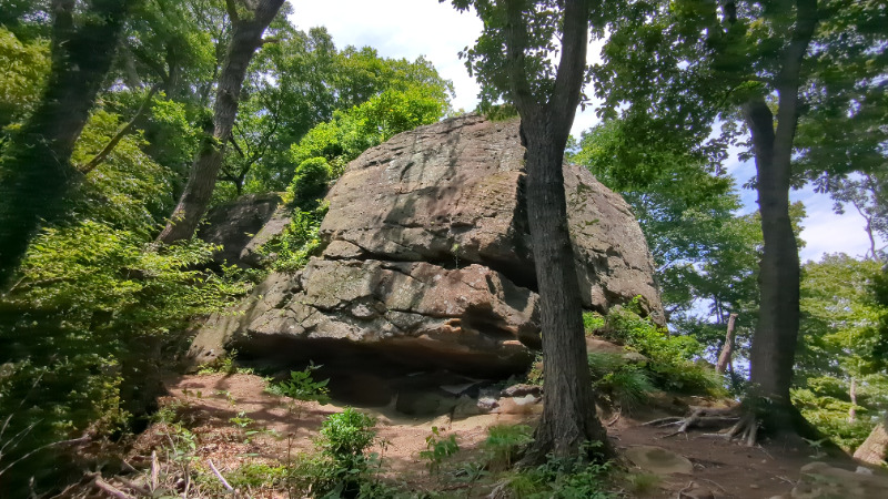
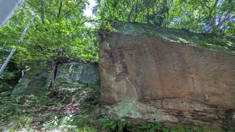
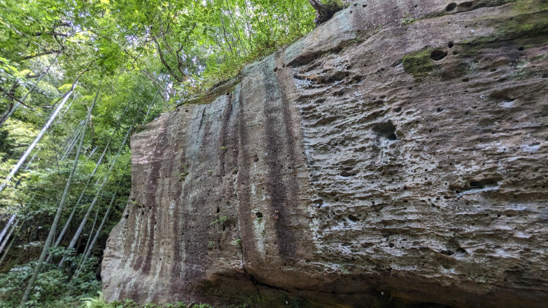
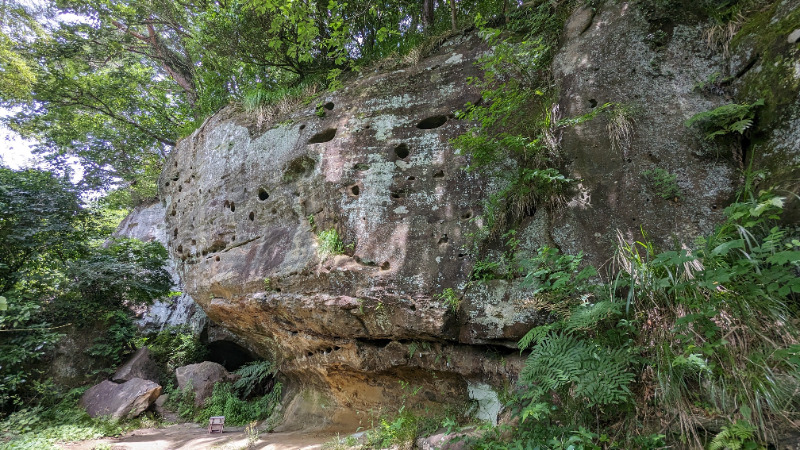
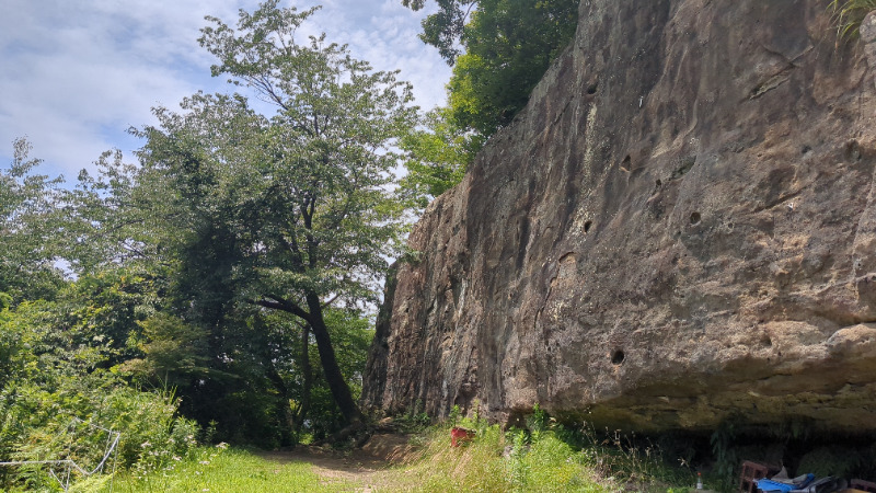
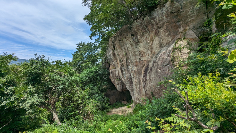
ボルダーエリア
Basic Info
| Area Info | 福島県 / 青葉 |
|---|---|
| GPS Location | 37.0261974,140.8392627 |
| Elevation |
Approx. 103 m
Parking Elevation Approx. 31 m(Diff:72 m) |
| Distance from Parking | 242 m |
Route Distribution
Tap the bar chart to view routes for each grade.
ボルダー(13 routes)Routes
Tap red lines to show route name and grade
簡単
4~3級
2~1級
~三段

Loading...
動画
-
※自動抽出の動画
-
※自動抽出の動画
-
※自動抽出の動画
-
※自動抽出の動画
-
※自動抽出の動画
Comments
No comments yet.
Post CommentNearby Crags
北のエリア
青葉
37.0262989
140.8398129
0
0
13
0
0
北のエリア
- 青葉
- タイプ別: F13
- 難易度別: E8 M5
- 駐車場から: 近め 44.155763008525092
日だまりエリア
青葉
37.0258704
140.8376312
0
2
7
0
0
日だまりエリア
- 青葉
- タイプ別: B2 F7
- 難易度別: E3 M5 H1
- 駐車場から: 近め 64.0057134600453006
広場エリア
青葉
37.0256916
140.8369168
0
0
14
0
0
広場エリア
- 青葉
- タイプ別: F14
- 難易度別: M8 H6
- 駐車場から: 近め 74.2182360652681956
展望台エリア
青葉
37.0255491
140.8367026
1
0
15
0
0
展望台エリア
1
- 青葉
- タイプ別: F15
- 難易度別: E8 M6 H1
- 駐車場から: 近め 69.3898683048571539
南のエリア2
青葉
37.0250132
140.8361371
0
0
19
0
0
南のエリア2
- 青葉
- タイプ別: F19
- 難易度別: E8 M10 H1
- 駐車場から: 近め 87.7847572863592344
南のエリア
青葉
37.024748
140.8352485
0
0
17
0
0
南のエリア
- 青葉
- タイプ別: F17
- 難易度別: E1 M12 H4
- 駐車場から: 近め 112.3345847399142225
Loading...
×