
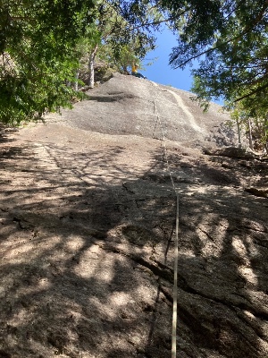
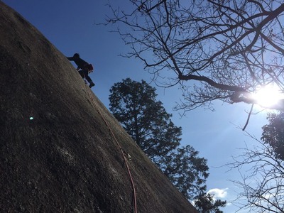
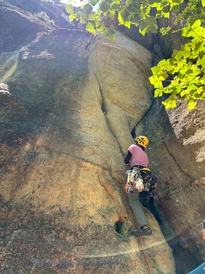
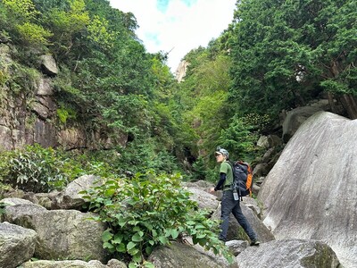
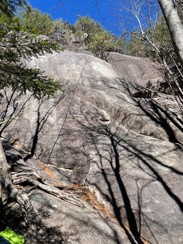
 八幡沢左岸スラブ/ロリータJUNKO
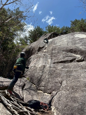 八幡沢左岸スラブ/ブラック&ホワイト
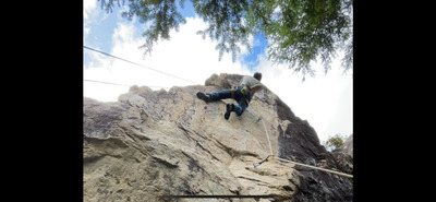
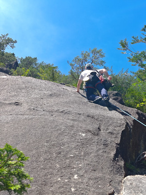 八幡沢左岸スラブ/春のもどり雪
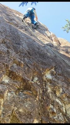
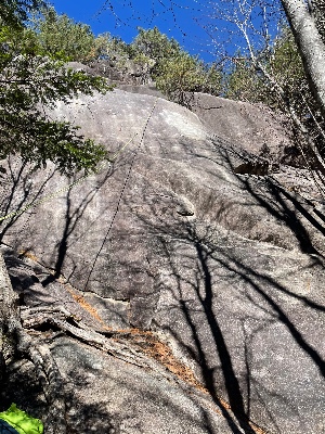 八幡沢左岸スラブ/ジャーマンスープレックス
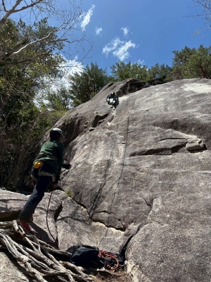
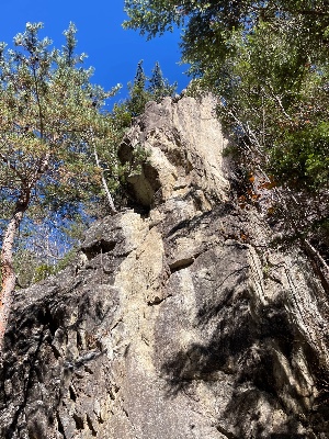 八幡沢左岸スラブ/トムといっしょ
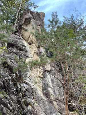 八幡沢左岸スラブ/トムといっしょ
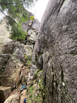
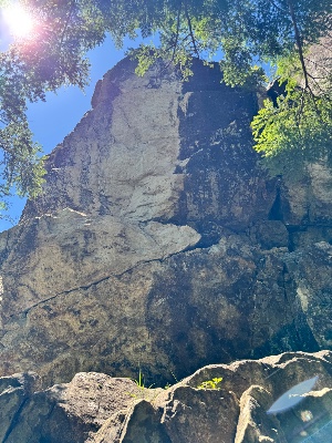 八幡沢左岸スラブ/雨がやんだら
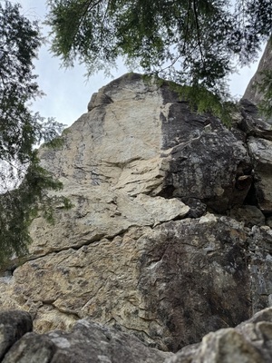 八幡沢左岸スラブ/雨がやんだら
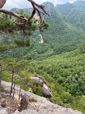 八幡沢左岸スラブ/春のもどり雪
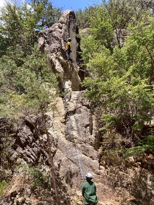 八幡沢左岸スラブ/トムといっしょ
| Area Info | 長野県 / 小川山 八幡沢・ガマスラブ周辺 / |
|---|---|
| GPS Location | 35.905293502435704,138.63702550170495 |
| Elevation |
Approx. 1669 m
Parking Elevation Approx. 1585 m(Diff:84 m) |
| Distance from Parking | 439 m |
| Aspect / Sun Exposure |
S
Sun Hours (Estimate)
S: 6:30〜16:40
|
| Monthly Activity | |
| Popular Problems | |
| First Ascensionists |
Tap the bar chart to view routes for each grade.
マルチ(1 routes)
 よりお願い
このサイトは有志により開発・運営されています。
サーバ代等の運営費用は広告費や寄付で賄っていますが現状赤字運営です。
全画面の広告などは利用したくありませんし、できれば広告も設置したくありません。
便利・良いねと思ったら以下ボタンより寄付をしていただけると助かります。
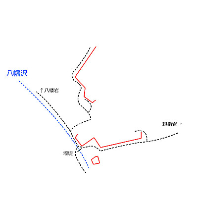
Tap red lines to show the route card
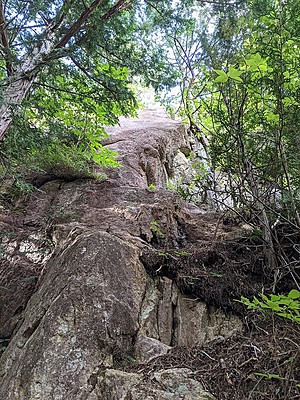
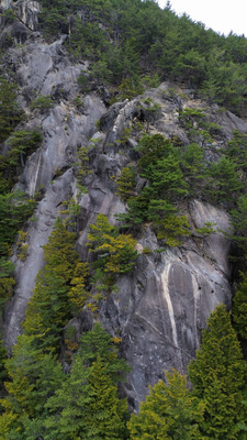
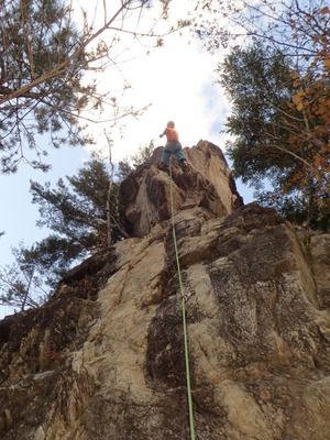
左岸スラブ上流の岩
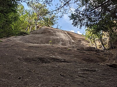
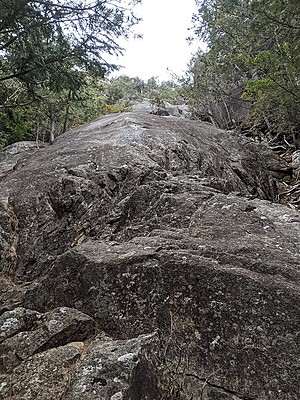
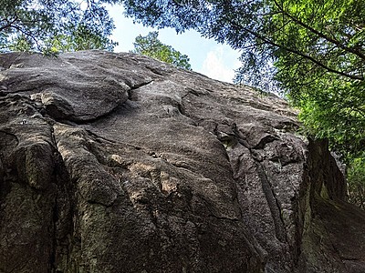
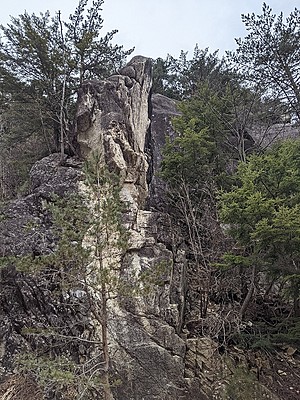
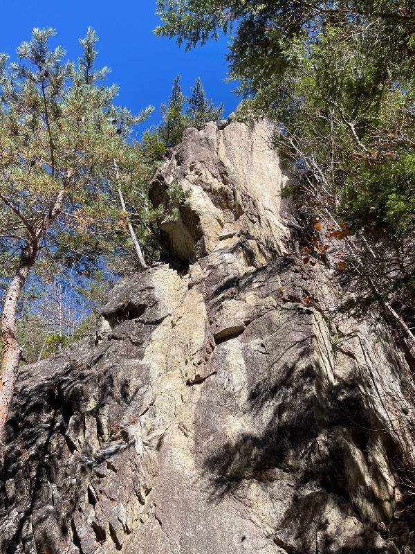
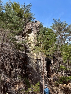
左岸スラブ 左の岩峰
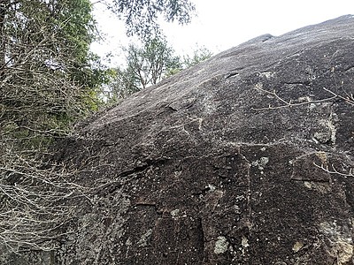
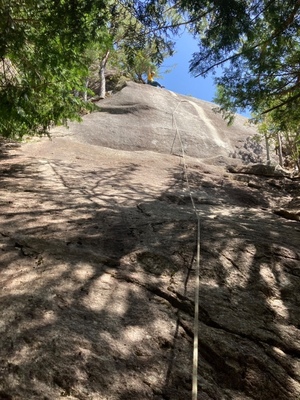
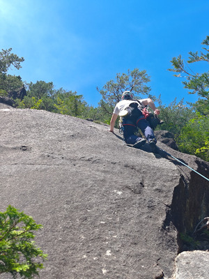
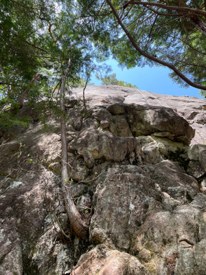
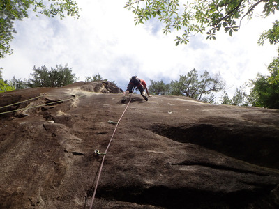
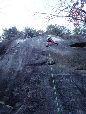
左岸スラブ
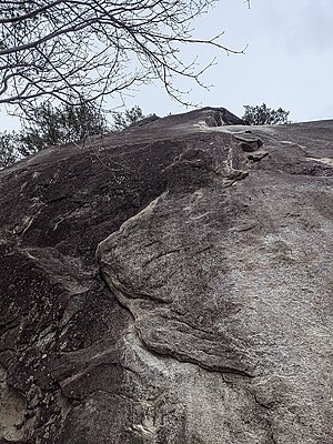
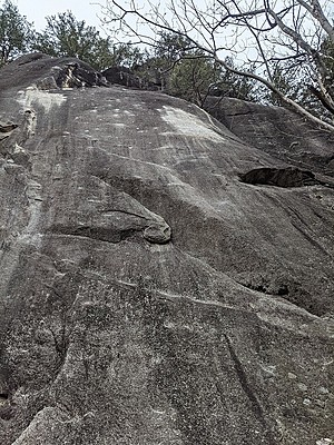
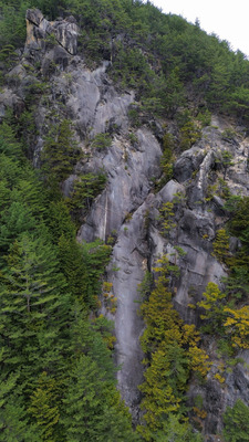
遠景
※自動抽出の動画
※自動抽出の動画
※自動抽出の動画
※自動抽出の動画
※自動抽出の動画
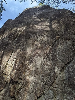
モドキ岩Modokiiwa
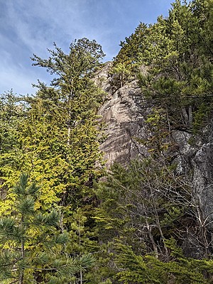
脚力ロックKyakuryokurokku

手の平岩Tenohiraiwa

マガスラブ(スラブ状岩壁)Magasurabu(surabujoganpeki)
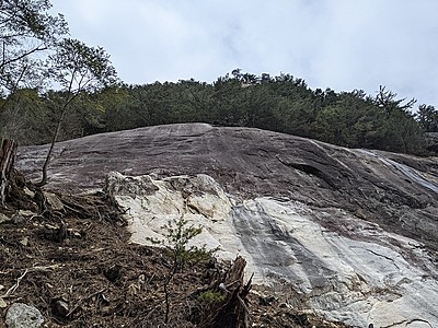
ガマスラブ周辺Gamasurabushuhen
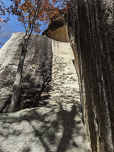
親指岩、小指岩
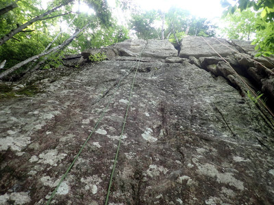
ジムグリ岩Jimuguriiwa
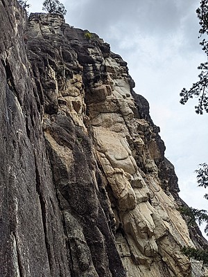
タヌキ岩・ワーキングフェースTanukiiwa Wakingufesu








 Tap the Share button (a square with an arrow) at the bottom of the screen. If you can't find it, tap "…" and select "Share"