情報提供
How to Use
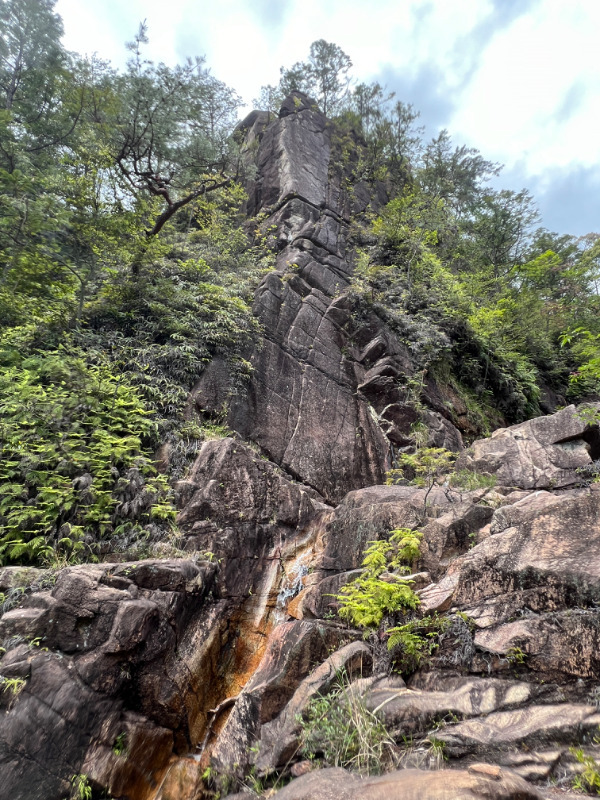
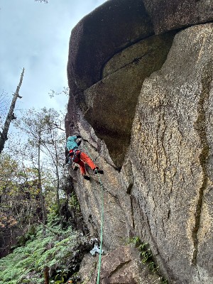
あみだ岩観音フェイス
Checked in at 湖南アルプス天神川 today:
0
Basic Info
| Area Info | 滋賀県 / 湖南アルプス天神川 |
|---|---|
| GPS Location | 34.92610310817794,135.96127153489255 |
| Elevation |
Approx. 249 m
Parking Elevation Approx. 212 m(Diff:37 m) |
| Distance from Parking | 143 m |
Route Distribution
Tap the bar chart to view routes for each grade.
リード(フェイス)(2 routes)Routes
Tap red lines to show the route card
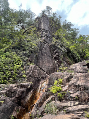
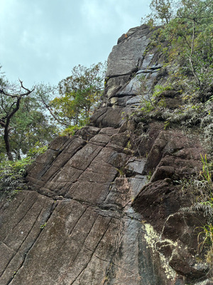
マスターズエッジ
リード(フェイス)
5.10b
0
0
0
0
34.92610310817794
135.96127153489255

Loading...
Nearby Crags
デビルズイヤリング・おにぎり岩
湖南アルプス天神川
34.92554343424518
135.96160785883797
0
0
0
1
0
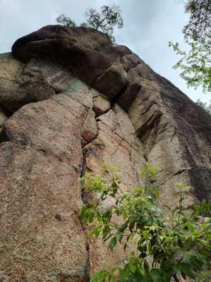
デビルズイヤリング・おにぎり岩
- 湖南アルプス天神川
- タイプ別: C1
- 標高: 約 254 m
- 駐車場から: 近め 16.5645320941070838

Loading...
 Tap the Share button (a square with an arrow) at the bottom of the screen. If you can't find it, tap "…" and select "Share"