情報提供
How to Use
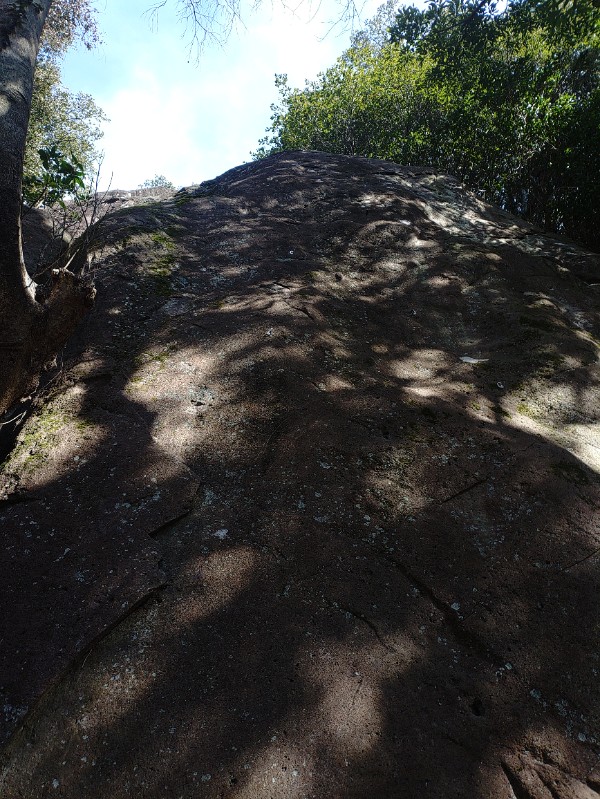


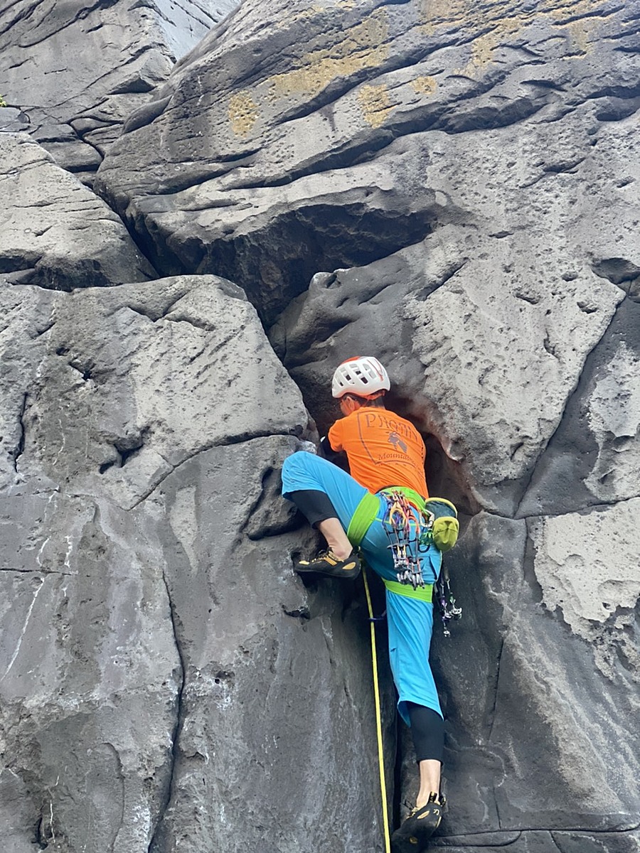
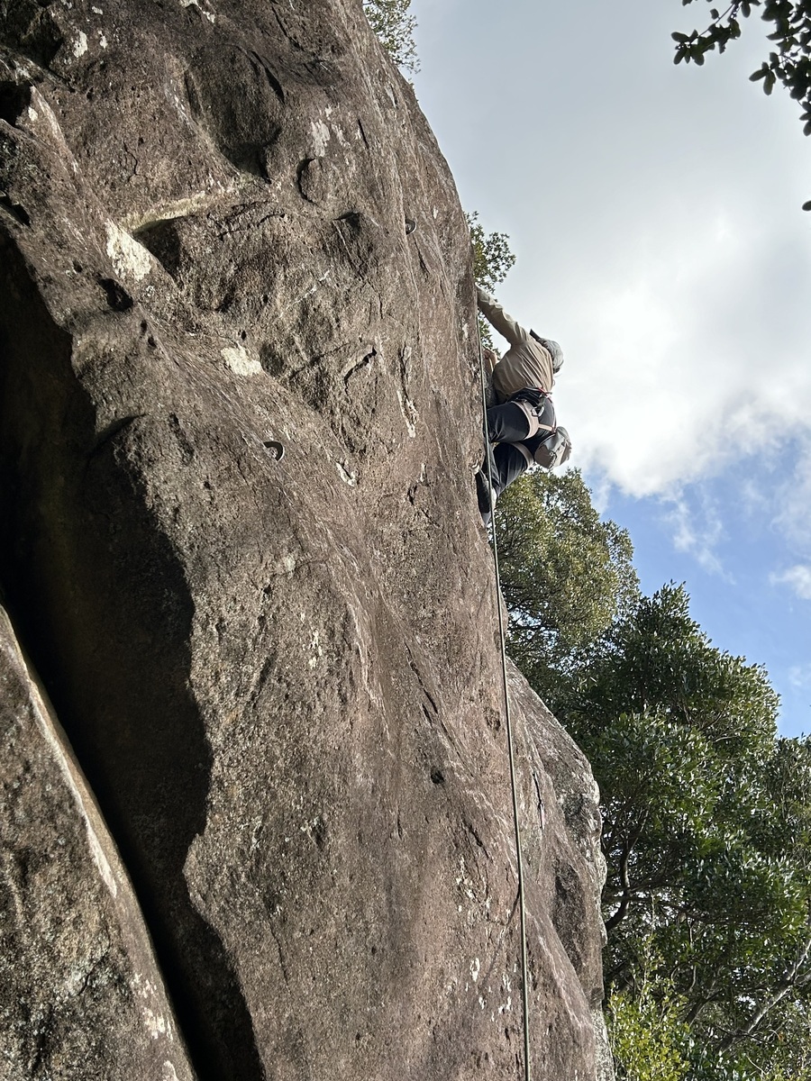
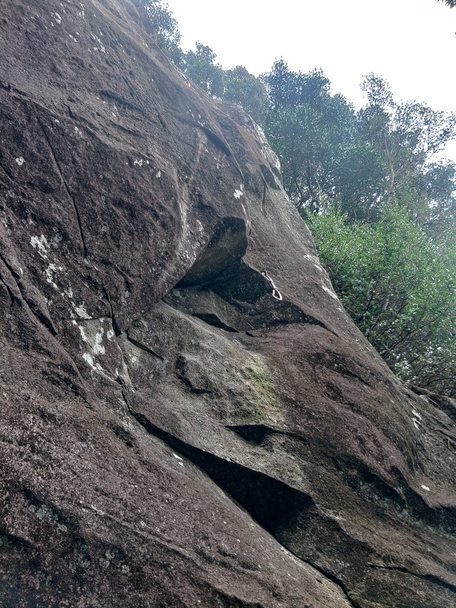
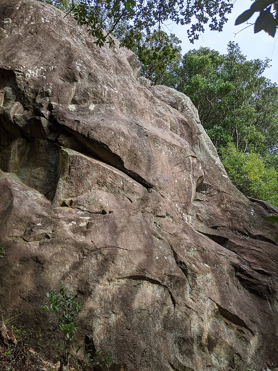
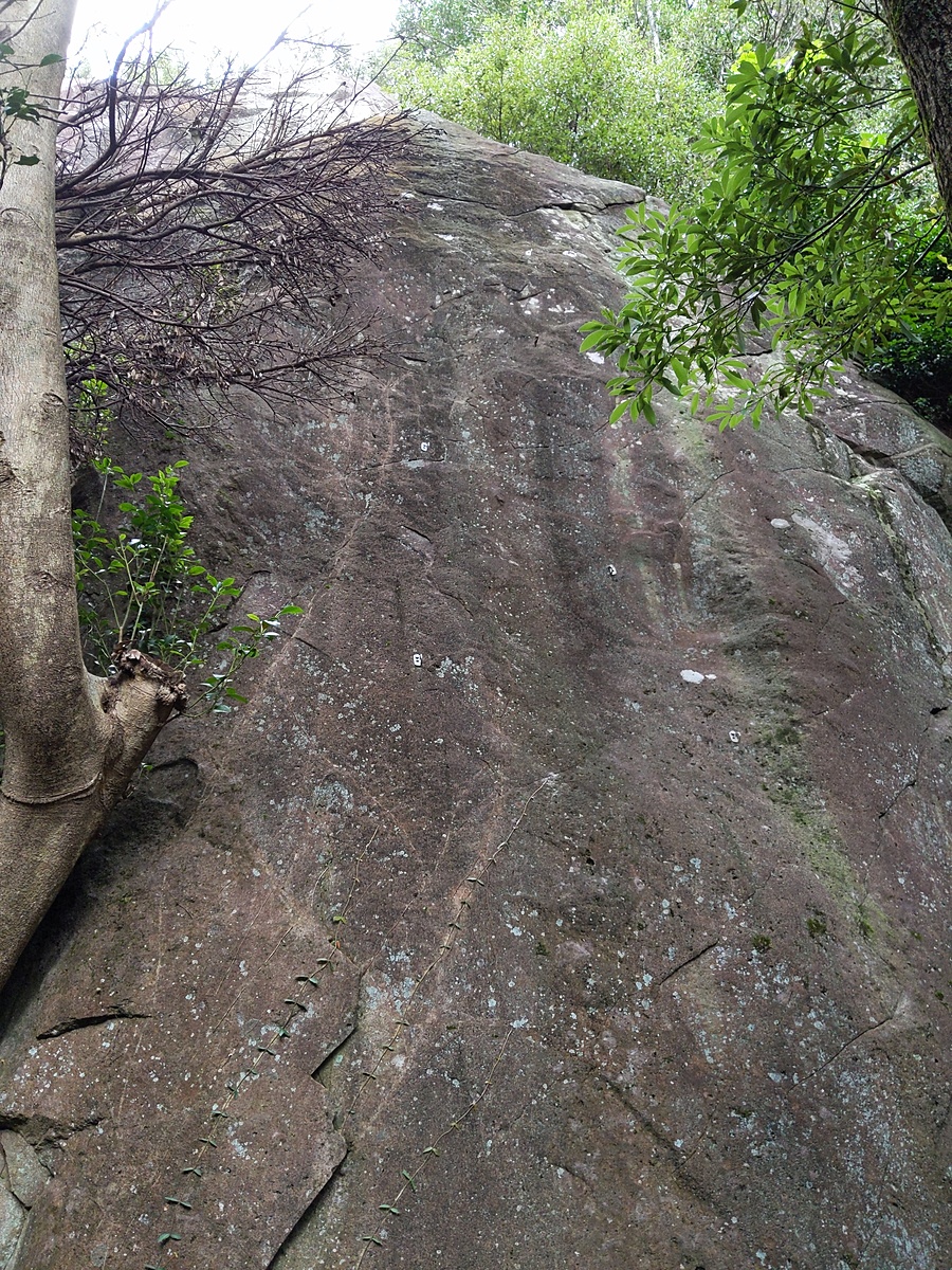
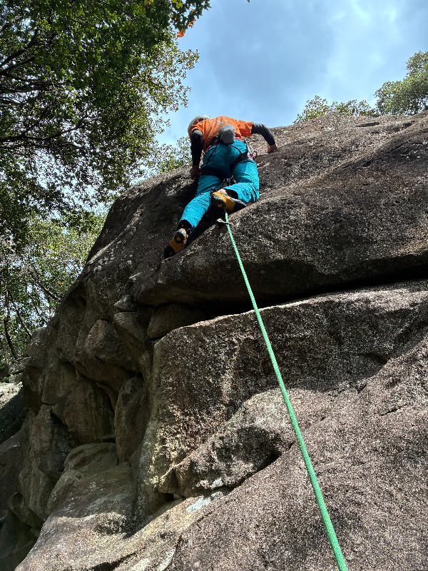
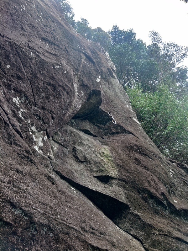
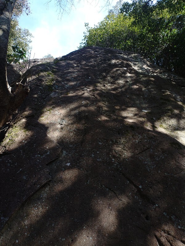
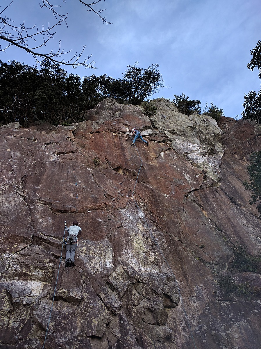
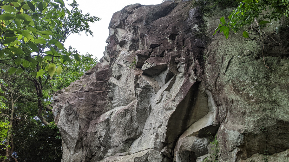
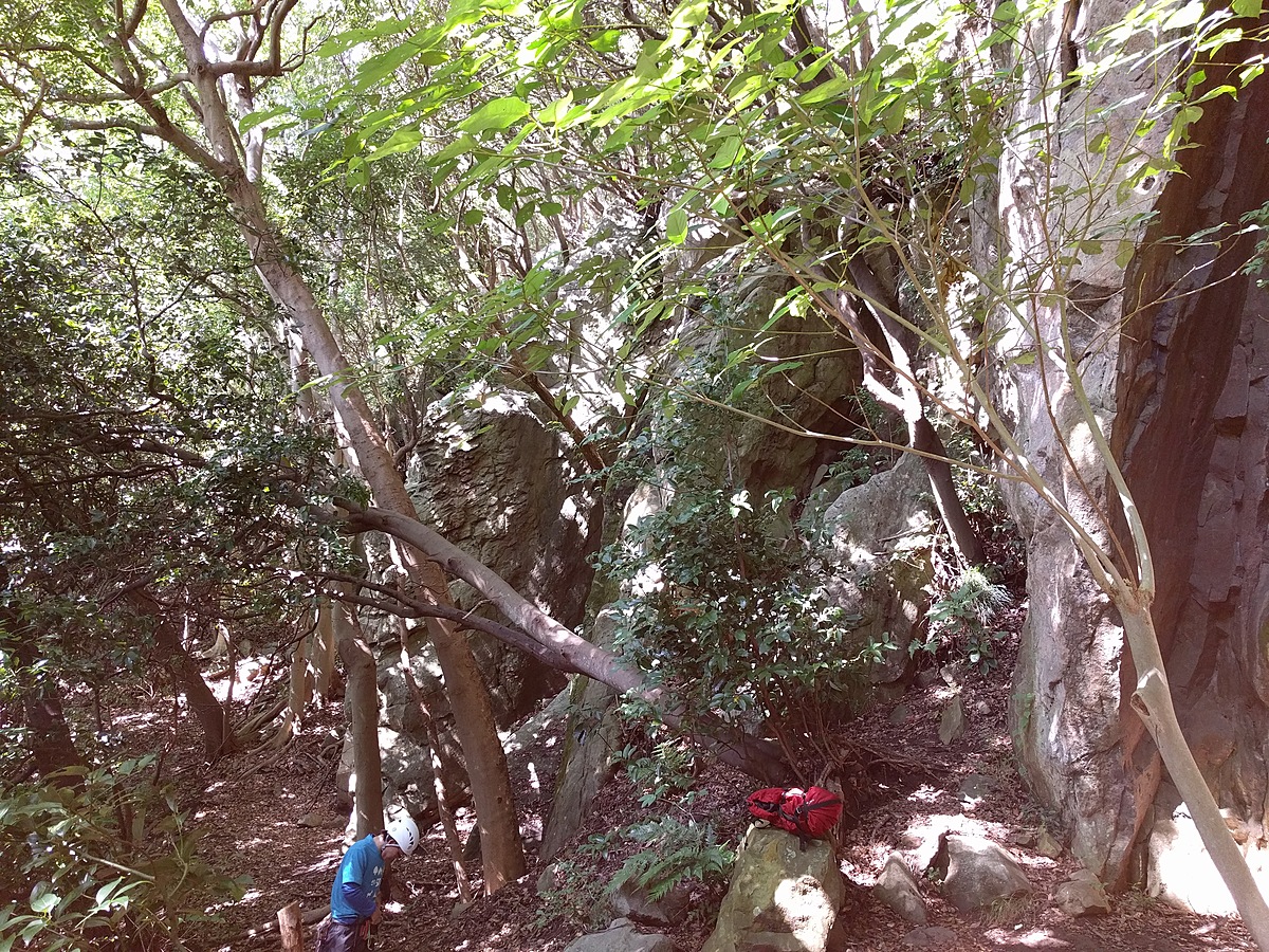
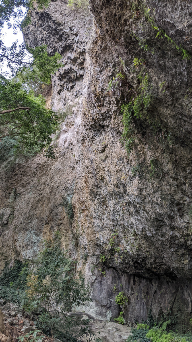
じゃがいも岩
Basic Info
| Area Info | 静岡県 / 鷲頭山 |
|---|---|
| GPS Location | 35.064103,138.8892542 |
| Elevation |
Approx. 139 m
Parking Elevation Approx. 3 m(Diff:136 m) |
| Distance from Parking | 1144 m |
| First Ascensionists |
Route Distribution
Tap the bar chart to view routes for each grade.
リード(フェイス)(5 routes)Routes
Tap red lines to show route name and grade
-
二階
-
一階
簡単
5.10台
5.11台
クラック
フェイス
塩と酢
リード(フェイス)
5.10c
4
0
0
3
35.064103
138.8892542
Loading...
Comments
No comments yet.
Post CommentNearby Crags
鷲頭メインウォール
鷲頭山
35.064268
138.8886626
3
0
21
5
0
鷲頭メインウォール
3
- 鷲頭山
- タイプ別: F21 C5
- 難易度別: E9 M12 H5
- 駐車場から: そこそこ 420.982505796892023
サンキューロック
鷲頭山
35.06437069834053
138.88837876663254
2
0
10
0
0
サンキューロック
2
- 鷲頭山
- タイプ別: F10
- 難易度別: E4 M5 H1
- 駐車場から: そこそこ 448.735853112094017
カッチンロック
鷲頭山
35.064461539944666
138.8880777716527
1
0
10
0
0
カッチンロック
1
- 鷲頭山
- タイプ別: F10
- 難易度別: E5 M5
- 駐車場から: そこそこ 399.584202420992004
鷲頭山円形劇場
鷲頭山
35.0616656
138.8914115
0
0
5
0
0
鷲頭山円形劇場
- 鷲頭山
- タイプ別: F5
- 難易度別: E1 H4
- 駐車場から: 遠め 487.0709568354324783
Loading...
×