情報提供
How to Use

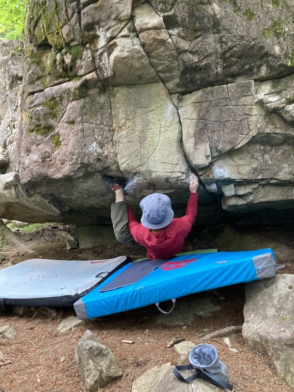
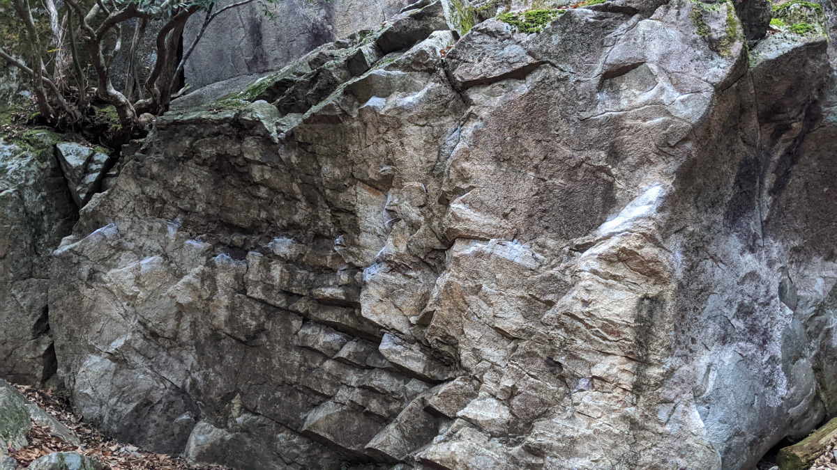
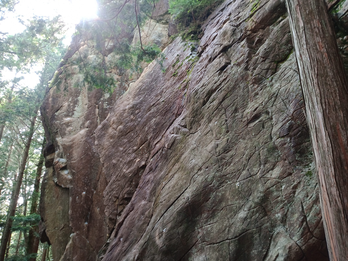
ペネロペ・スイートニコル
Basic Info
| Area Info | 岐阜県 / 恵那・笠置山 大岩コケエリア / |
|---|---|
| GPS Location | 35.50387166093623,137.34558021820453 |
| Elevation |
Approx. 921 m
Parking Elevation Approx. 972 m(Diff:-51 m) |
| Distance from Parking | 94 m |
Route Distribution
Tap the bar chart to view routes for each grade.
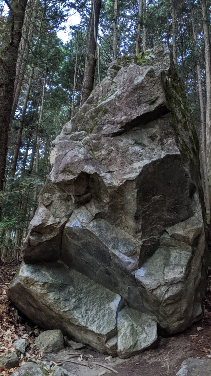
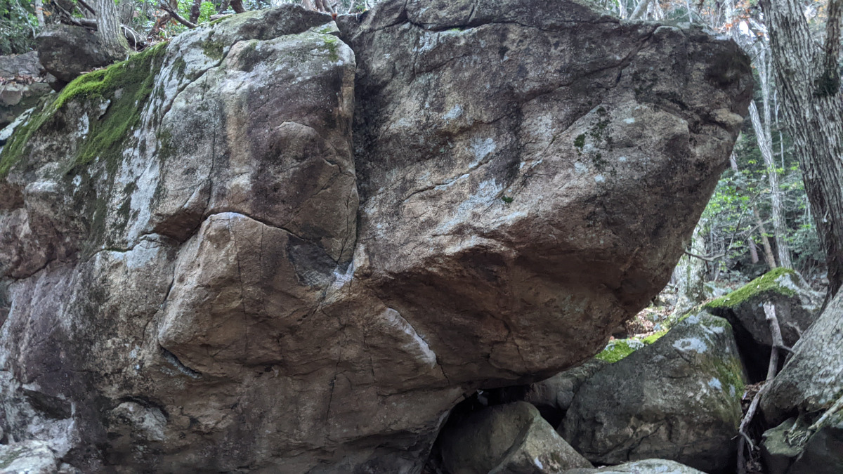
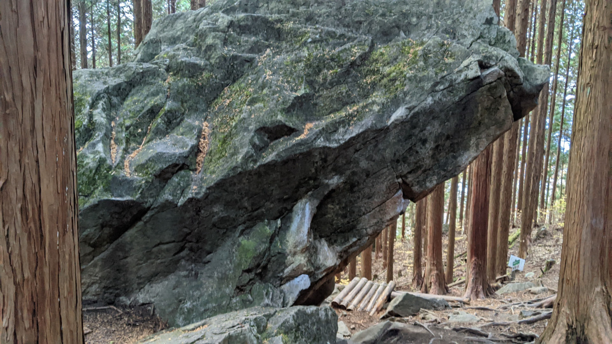
ボルダー(7 routes)Routes
Tap red lines to show route name and grade
-
ペネロペの岩
-
-
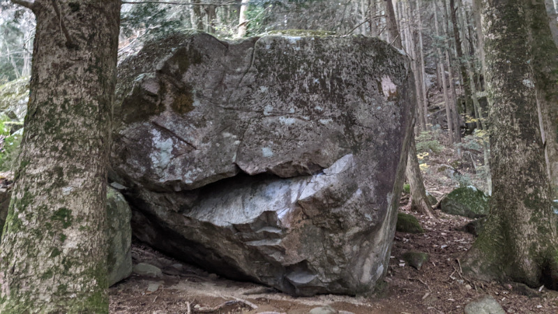
スイートニコルの岩
簡単
4~3級
2~1級
~三段

.jpeg)
Loading...
動画
-
※自動抽出の動画
-
※自動抽出の動画
-
※自動抽出の動画
-
※自動抽出の動画
-
※自動抽出の動画
Comments
No comments yet.
Post CommentNearby Crags
ルーフルール・ニキ岩
恵那・笠置山
大岩コケエリア
35.5037232
137.3454922
0
9
0
0
0
ルーフルール・ニキ岩
- 恵那・笠置山 / 大岩コケエリア
- タイプ別: B9
- 難易度別: E2 M3 H4
- 駐車場から: 近め -18.5402359209833604
ムカンテ
恵那・笠置山
大岩コケエリア
35.5039669
137.3458168
0
1
0
0
0
ムカンテ
- 恵那・笠置山 / 大岩コケエリア
- タイプ別: B1
- 難易度別: H1
- 駐車場から: 近め -13.99718017843268058
ナナメジ岩
恵那・笠置山
大岩コケエリア
35.5039702
137.3452501
0
9
0
0
0
ナナメジ岩
- 恵那・笠置山 / 大岩コケエリア
- タイプ別: B9
- 難易度別: E2 M2 H5
- 駐車場から: 近め -11.56805942991342912
ウォールフワラ
恵那・笠置山
大岩コケエリア
35.5035654
137.3456813
0
5
0
0
0
ウォールフワラ
- 恵那・笠置山 / 大岩コケエリア
- タイプ別: B5
- 難易度別: E1 M4
- 駐車場から: 近め -27.4636997608205088
DHAの岩
恵那・笠置山
大岩コケエリア
35.5037221
137.3461165
0
3
0
0
0
DHAの岩
- 恵那・笠置山 / 大岩コケエリア
- タイプ別: B3
- 難易度別: E2 M1
- 駐車場から: 近め -24.3549028441349064
レッドケイブ
恵那・笠置山
大岩コケエリア
35.5034437
137.3458459
0
3
0
0
0
レッドケイブ
- 恵那・笠置山 / 大岩コケエリア
- タイプ別: B3
- 難易度別: M1 H2
- 駐車場から: 近め -34.6360005782200356
エルの岩
恵那・笠置山
大岩コケエリア
35.504148565458095
137.346208653373
2
9
0
0
0
エルの岩
2
- 恵那・笠置山 / 大岩コケエリア
- タイプ別: B9
- 難易度別: E4 M5
- 駐車場から: 近め -13.13232897288575076
大岩展望の岩
恵那・笠置山
大岩コケエリア
35.5044582
137.3458637
1
0
32
5
0
大岩展望の岩
1
- 恵那・笠置山 / 大岩コケエリア
- タイプ別: F32 C5
- 難易度別: E15 M11 H11
- 駐車場から: 近め -0.32658482755313442
Loading...
×