
情報提供
How to Use
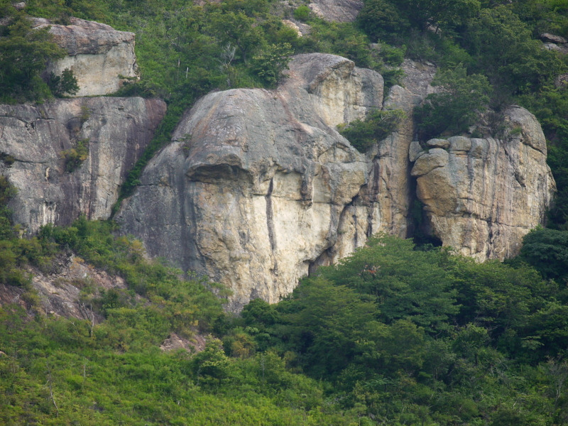
正面壁
しょうめんへきBasic Info
| Area Info | 兵庫県 / 鷹巣崖 |
|---|---|
| GPS Location | 34.81435225788409,134.7738380626816 |
| Elevation | Approx. 168 m |
Route Distribution
Tap the bar chart to view routes for each grade.
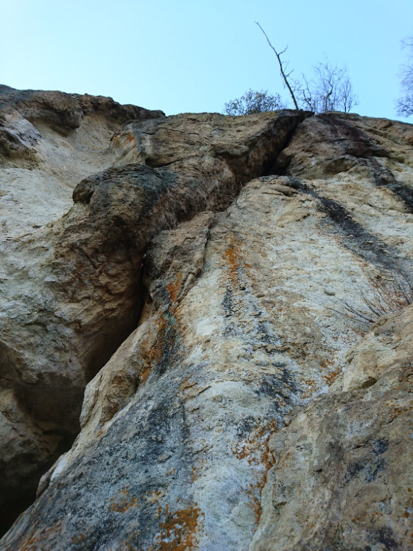
リード(クラック)(1 routes)Routes
Tap red lines to show route name and grade
簡単
5.10台
5.11台
クラック
フェイス
そらもぐら
そらもぐら
リード(クラック)
5.10d
2
0
0
1
34.81435225788409
134.7738380626816
Loading...
Comments
No comments yet.
Post Comment
×