
情報提供
How to Use
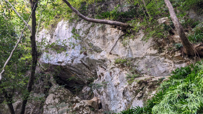
おかぶり岩
Checked in at 芹谷屏風岩 today:
0
Basic Info
| Area Info | 滋賀県 / 芹谷屏風岩 |
|---|---|
| GPS Location | 35.250963473031284,136.32295689865654 |
| Elevation |
Approx. 308 m
Parking Elevation Approx. 180 m(Diff:128 m) |
| Distance from Parking | 418 m |
Route Distribution
Tap the bar chart to view routes for each grade.
リード(フェイス)(1 routes)Routes
Tap red lines to show the route card

Loading...
Nearby Crags
小屏風岩
芹谷屏風岩
35.25095204334912
136.3227438420768
0
0
15
1
0
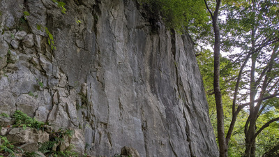
小屏風岩
- 芹谷屏風岩
- タイプ別: F15 C1
- 標高: 約 302 m
- 駐車場から: そこそこ 157.2802940340403506
屏風岩
芹谷屏風岩
35.2506454
136.323404
0
0
25
0
0
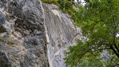
屏風岩
- 芹谷屏風岩
- タイプ別: F25
- 標高: 約 292 m
- 駐車場から: 近め 122.844032761679208

Loading...
 Tap the Share button (a square with an arrow) at the bottom of the screen. If you can't find it, tap "…" and select "Share"