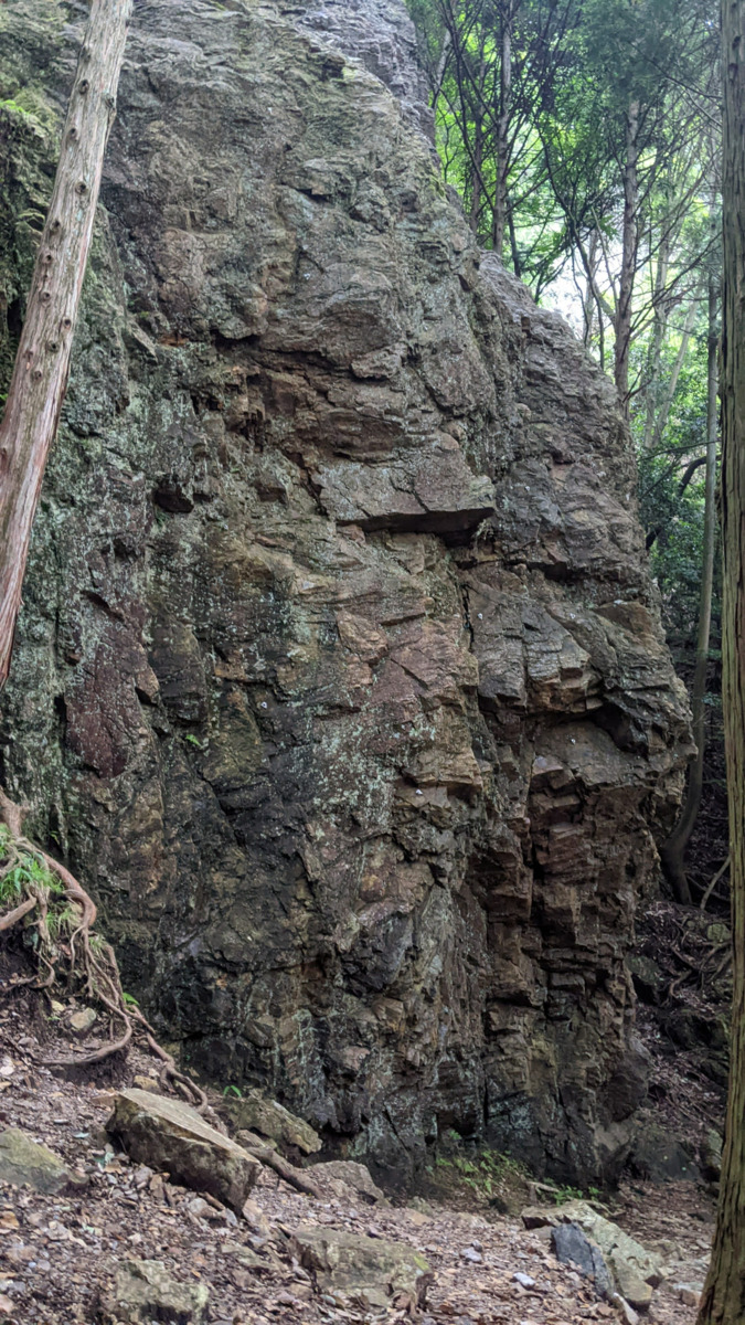
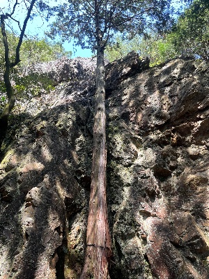
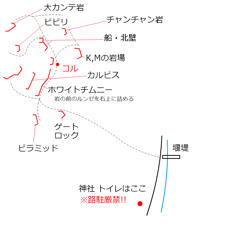
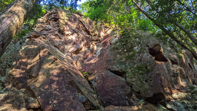
 ゲートロック/左カンテルート
| Area Info | 京都府 / 金比羅山 |
|---|---|
| GPS Location | 35.1149941,135.8115208 |
| Elevation |
Approx. 371 m
Parking Elevation Approx. 245 m(Diff:126 m) |
| Distance from Parking | 431 m |
| Aspect / Sun Exposure |
SE
Sun Hours (Estimate)
SE: 6:40〜14:40
|
| Favorites |
4
|
Tap the bar chart to view routes for each grade.
リード(フェイス)(7 routes)Tap red lines to show the route card
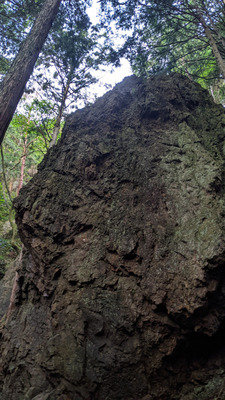
※自動抽出の動画
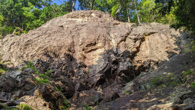
ピラミッド
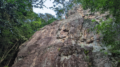
ホワイトチムニー
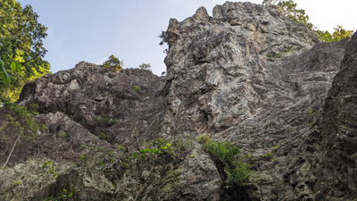
北尾根上部壁
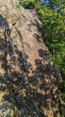
ビビリフェース
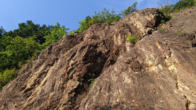
Mフェイス・Kスラブ
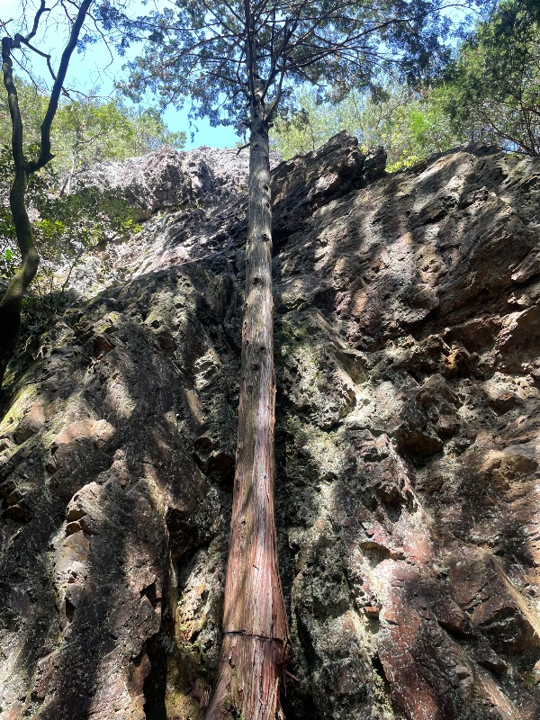
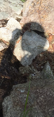
 runninvestor
 Tap the Share button (a square with an arrow) at the bottom of the screen. If you can't find it, tap "…" and select "Share"