情報提供
How to Use
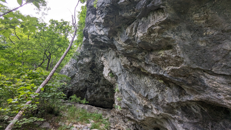
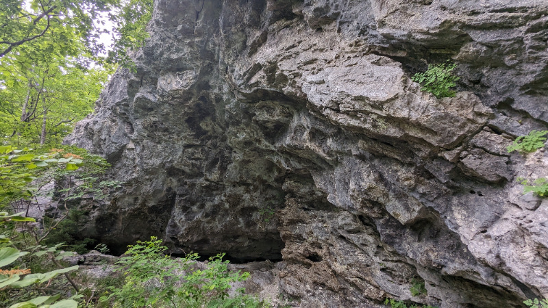
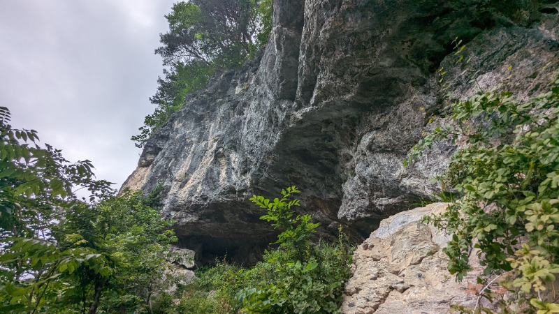
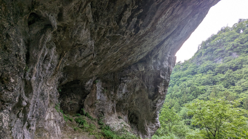
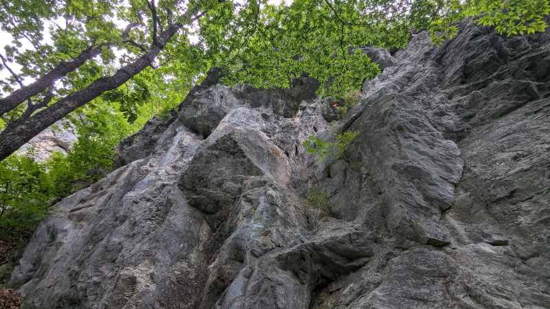
村八エリア
Basic Info
| Area Info | 岩手県 / ひょうたんケイブ |
|---|---|
| GPS Location | 39.8553387,141.8154596 |
| Elevation |
Approx. 242 m
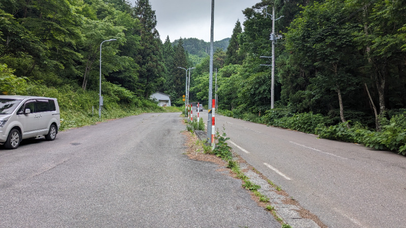
Parking Elevation Approx. 190 m(Diff:52 m) |
| Distance from Parking | 574 m |
Route Distribution
Tap the bar chart to view routes for each grade.
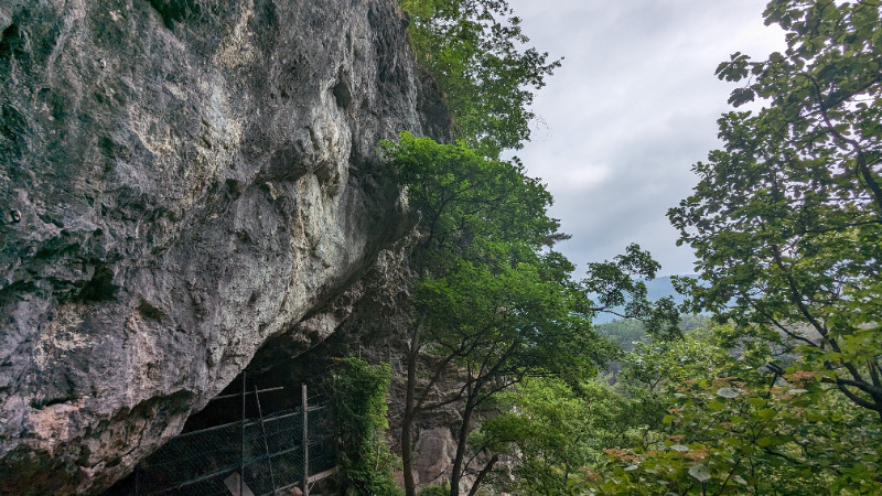
リード(フェイス)(2 routes)Routes
Tap red lines to show route name and grade
簡単
5.10台
5.11台
クラック
フェイス
Loading...
Comments
No comments yet.
Post CommentNearby Crags
発掘エリア
ひょうたんケイブ
39.8549076
141.8152286
0
0
9
0
0
発掘エリア
- ひょうたんケイブ
- タイプ別: F9
- 難易度別: M8 H1
- 駐車場から: 近め 23.5812246309038646
モダンエリア
ひょうたんケイブ
39.85503430863392
141.81493651473255
0
0
18
0
0
モダンエリア
- ひょうたんケイブ
- タイプ別: F18
- 難易度別: E6 M4 H8
- 駐車場から: 近め -24.3669237802087524
大洞窟エリア
ひょうたんケイブ
39.8554257
141.8146583
0
0
29
0
0
大洞窟エリア
- ひょうたんケイブ
- タイプ別: F29
- 難易度別: E5 M12 H12
- 駐車場から: 近め -52.5225558131466984
若葉エリア
ひょうたんケイブ
39.8557459
141.8146623
0
0
8
0
0
若葉エリア
- ひょうたんケイブ
- タイプ別: F8
- 難易度別: E5 M3
- 駐車場から: 近め -8.9935975768574394
女神岩
ひょうたんケイブ
39.845744739793716
141.83159866448173
0
0
5
0
0

女神岩
- ひょうたんケイブ
- タイプ別: F5
- 難易度別: E1 M3 H1
- 駐車場から: 登り返し有 -578.811132210651732
Loading...
×