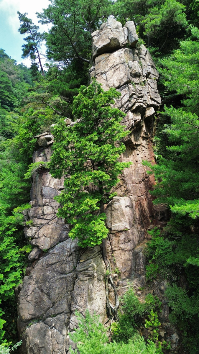
情報提供
How to Use
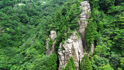
西陵
Comments
No comments yet.
Post Comment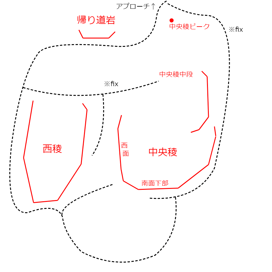
Basic Info
| Area Info | 兵庫県 / 保塁岩 |
|---|---|
| GPS Location | 34.75267903377727,135.23379912300658 |
| Elevation |
Approx. 688 m
Parking Elevation Approx. 739 m(Diff:-51 m) |
| Distance from Parking | 226 m |
Route Distribution
Tap the bar chart to view routes for each grade.
リード(フェイス)(8 routes)Routes
Tap red lines to show route name and grade
-
-
-
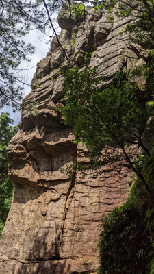
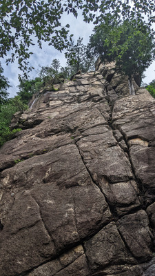
上部
-
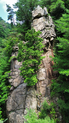
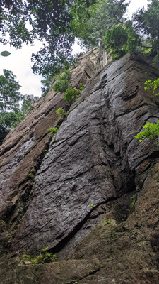
上部 遠景
簡単
5.10台
5.11台
クラック
フェイス

ノーマルルート
リード(フェイス)
5.5
2
0
0
1
34.75267903377727
135.23379912300658
西稜ハング
リード(フェイス)
5.8
4
1
0
1
34.75267903377727
135.23379912300658
西稜ハングVar1
リード(フェイス)
5.10a
1
0
0
0
34.75267903377727
135.23379912300658
西稜ハングVar2
リード(フェイス)
5.10c
1
0
0
0
34.75267903377727
135.23379912300658
Loading...
動画
-
※自動抽出の動画
-
※自動抽出の動画
-
※自動抽出の動画
Nearby Crags
中央稜西面
保塁岩
34.75262506571606
135.2338803176786
0
0
7
3
0
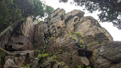
中央稜西面
- 保塁岩
- タイプ別: F7 C3
- 標高: 約 691 m
- 駐車場から: 近め -31.9637823796167552
帰り道岩
保塁岩
34.7528262
135.2338762
0
0
3
0
0
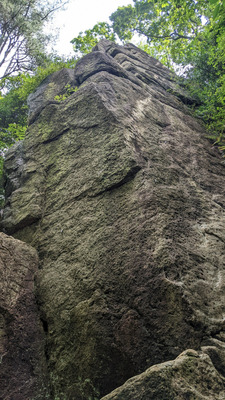
帰り道岩
- 保塁岩
- タイプ別: F3
- 標高: 約 718 m
- 駐車場から: 近め -13.3667893677518109
中央稜 南東面
保塁岩
34.7527158
135.2339999
1
0
26
6
0
中央稜 南東面
1
- 保塁岩
- タイプ別: F26 C6
- 標高: 約 720 m
- 駐車場から: 近め -11.8276611259933752
Loading...
×
 Tap the Share button (a square with an arrow) at the bottom of the screen. If you can't find it, tap "…" and select "Share"