
情報提供
How to Use
前面岩
Checked in at 下帝釈峡 today:
0
Basic Info
| Area Info | 広島県 / 下帝釈峡 |
|---|---|
| GPS Location | 34.8227366,133.2312156 |
| Elevation |
Approx. 310 m
Parking Elevation Approx. 464 m(Diff:-154 m) |
| Distance from Parking | 269 m |
Route Distribution
Tap the bar chart to view routes for each grade.
リード(フェイス)(18 routes)Routes
Tap red lines to show the route card
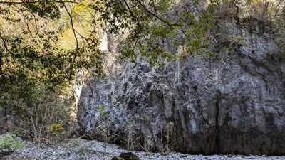
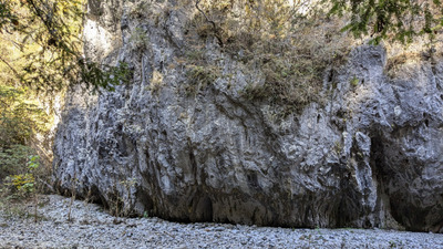
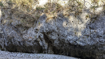
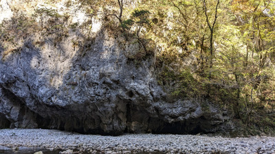

Loading...
動画
-
※自動抽出の動画
Nearby Crags
一の壁
下帝釈峡
34.8224806
133.2323287
0
0
12
0
0
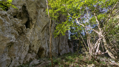
一の壁
- 下帝釈峡
- タイプ別: F12
- 標高: 約 305 m
- 駐車場から: 登り返し有 -160.6792163893357644
奥村道場・第一
下帝釈峡
34.82468422693371
133.23051841742134
0
0
19
0
0
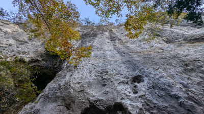
奥村道場・第一
- 下帝釈峡
- タイプ別: F19
- 標高: 約 360 m
- 駐車場から: 登り返し有 -203.9770515768387264
二の壁
下帝釈峡
34.8208212
133.2328252
0
0
15
0
0
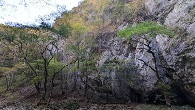
二の壁
- 下帝釈峡
- タイプ別: F15
- 標高: 約 313 m
- 駐車場から: 登り返し有 -157.1968441817978442
奥村道場・第二
下帝釈峡
34.8251897
133.2319307
0
0
14
0
0
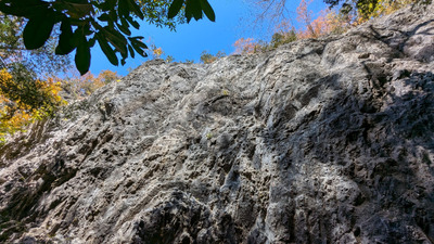
奥村道場・第二
- 下帝釈峡
- タイプ別: F14
- 標高: 約 369 m
- 駐車場から: 登り返し有 -224.7013373236402941
奥村道場・第三
下帝釈峡
34.8267591
133.2331277
0
0
17
0
0
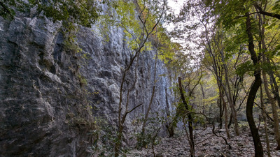
奥村道場・第三
- 下帝釈峡
- タイプ別: F17
- 標高: 約 313 m
- 駐車場から: 登り返し有 -431.8161670331290695
花子岩
はなこいわ
Hanakoiwa
下帝釈峡
34.82754745574653
133.23222143679865
0
0
31
0
0
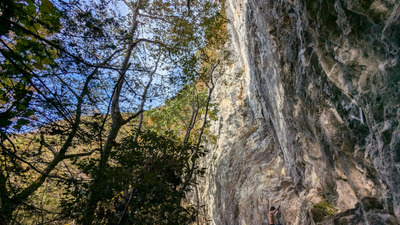
花子岩Hanakoiwa
- 下帝釈峡
- タイプ別: F31
- 標高: 約 408 m
- 駐車場から: 登り返し有 -150.8742730631262852
岩谷メインウォール
下帝釈峡
34.813792303701604
133.23418770304045
0
0
24
0
0
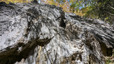
岩谷メインウォール
- 下帝釈峡
- タイプ別: F24
- 標高: 約 433 m
- 駐車場から: 近め 56.367231131350482
岩谷奥壁
下帝釈峡
34.814128358512136
133.23627881751082
0
0
14
0
0
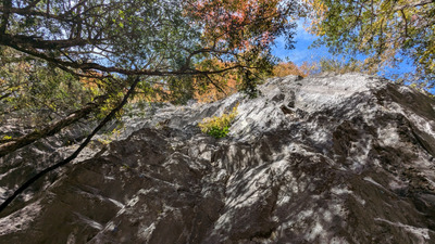
岩谷奥壁
- 下帝釈峡
- タイプ別: F14
- 標高: 約 377 m
- 駐車場から: 近め -18.096038744024418
Loading...
 Tap the Share button (a square with an arrow) at the bottom of the screen. If you can't find it, tap "…" and select "Share"