情報提供
How to Use

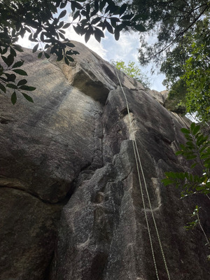 源助崩れ東面/水晶クラック

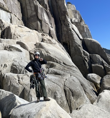
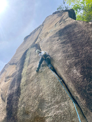 源助崩れ東面/モルモット・クラック


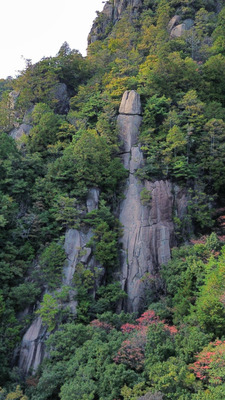
源助崩れ東面

Checked in at 三倉岳 today:
0
Basic Info
| Area Info | 広島県 / 三倉岳 源助崩れ周辺 / |
|---|---|
| GPS Location | 34.3149116,132.1530574 |
| Elevation |
Approx. 445 m
Parking Elevation Approx. 211 m(Diff:234 m) |
| Distance from Parking | 906 m |
| Aspect / Sun Exposure |
E
Sun Hours (Estimate)
E: 7:00〜12:00
|
| Monthly Activity |
Route Distribution
Tap the bar chart to view routes for each grade.
マルチ(2 routes)⭐Recommended Routes
Sign in to get more
- Automatic route recommendations matched to your grade, based on your ascents
- Log your ascents and track your progress with charts
- Save favorite crags and routes, and view topos offline


Routes
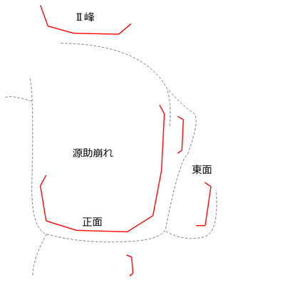
Tap red lines to show the route card
-
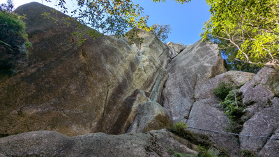
源助崩れ東面(下部)
-
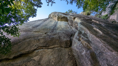
-
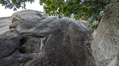
-
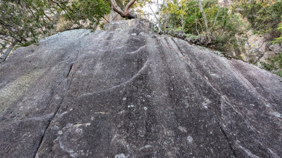
源助崩れ東面(上部・下段)
-
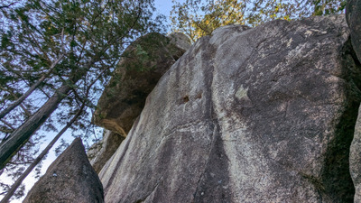
源助崩れ東面(上部・上段)
-
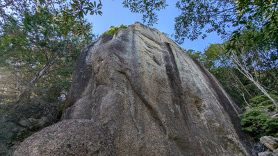
東面下部の岩峰
-
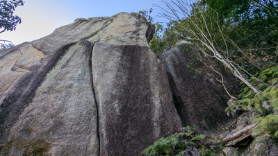
-
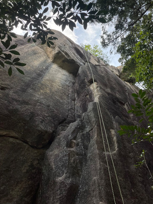
水晶クラック
マルチ
最高グレード 5.11c
2
0
0
1
34.3149116
132.1530574
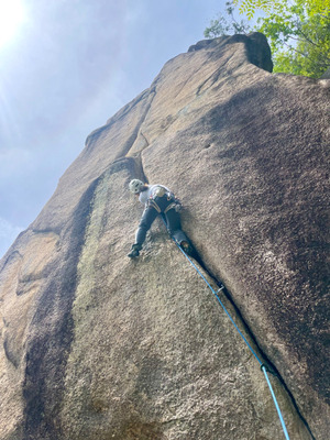
Loading...
Nearby Crags
源助崩れ正面
三倉岳
源助崩れ周辺
34.31488268790937
132.15294009562035
0
0
7
3
0
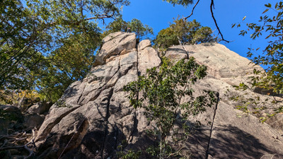
源助崩れ正面
- 三倉岳 / 源助崩れ周辺
- タイプ別: F7 C3
- 標高: 約 458 m
- 駐車場から: 遠め 674.6297481500112822
源助崩れ正面下部
三倉岳
源助崩れ周辺
34.314480581023304
132.1529347233135
0
0
8
0
0
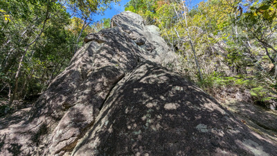
源助崩れ正面下部
- 三倉岳 / 源助崩れ周辺
- タイプ別: F8
- 標高: 約 424 m
- 駐車場から: 遠め 560.391345204263199
Ⅱ峰
三倉岳
源助崩れ周辺
34.3149548
132.1525223
0
0
3
3
0
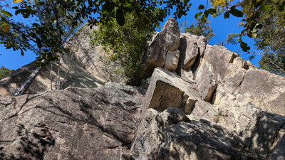
Ⅱ峰
- 三倉岳 / 源助崩れ周辺
- タイプ別: F3 C3
- 標高: 約 489 m
- 駐車場から: 遠め 785.3070889696998942
上の岳・青白ハング周辺
三倉岳
登山道Bコース付近の岩場
34.31523123403305
132.15193024174508
1
0
20
8
4
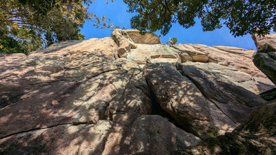
上の岳・青白ハング周辺
1
- 三倉岳 / 登山道Bコース付近の岩場
- タイプ別: F20 C8 M4
- 標高: 約 530 m
- 駐車場から: 遠い 957.915100621472433
Bコース六合目周辺ハイキング道沿い
三倉岳
登山道Bコース付近の岩場
34.3143899
132.1519594
0
0
14
1
0
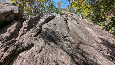
Bコース六合目周辺ハイキング道沿い
- 三倉岳 / 登山道Bコース付近の岩場
- タイプ別: F14 C1
- 標高: 約 437 m
- 駐車場から: 遠め 632.1361780522197552
ワッフル
三倉岳
登山道Bコース付近の岩場
34.3138108
132.1514608
2
0
3
1
0
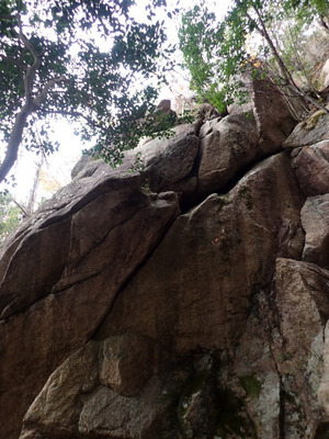
ワッフル
2
- 三倉岳 / 登山道Bコース付近の岩場
- タイプ別: F3 C1
- 標高: 約 405 m
- 駐車場から: 遠め 538.0891426703985408
下の岳 東壁
三倉岳
下の岳下部
34.314419740980235
132.1509981842619
0
0
1
0
3
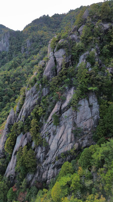
下の岳 東壁
- 三倉岳 / 下の岳下部
- タイプ別: F1 M3
- 標高: 約 476 m
- 駐車場から: 遠め 795.360241346831205
ふぐりスラブ、マラカリタワー
三倉岳
登山道Bコース付近の岩場
34.3149207
132.150856
0
0
6
0
1
ふぐりスラブ、マラカリタワー
- 三倉岳 / 登山道Bコース付近の岩場
- タイプ別: F6 M1
- 標高: 約 501 m
- 駐車場から: 遠い 910.85934020416146
Loading...
 Tap the Share button (a square with an arrow) at the bottom of the screen. If you can't find it, tap "…" and select "Share"