情報提供
How to Use
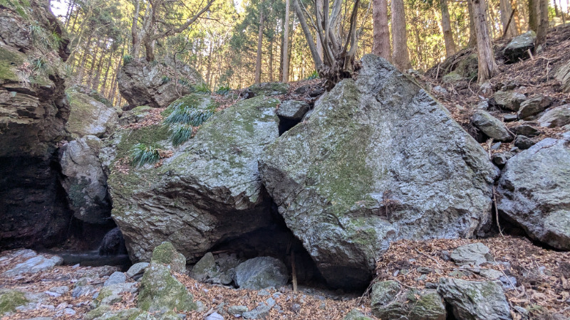
鳴岩の滝の周辺
Checked in at 椚平ボルダー today:
0
Basic Info
| Area Info | 埼玉県 / 椚平ボルダー |
|---|---|
| GPS Location | 35.96505312236136,139.2128816651859 |
| Elevation |
Approx. 499 m
Parking Elevation Approx. 492 m(Diff:7 m) |
| Distance from Parking | 37 m |
Routes
Tap red lines to show the route card
-
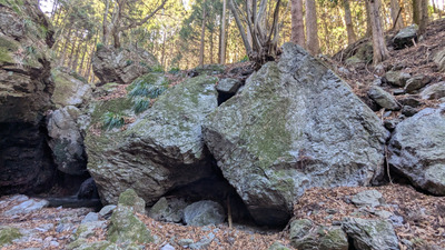
鳴滝の横
-
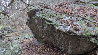
鳴滝下流の岩
-
-
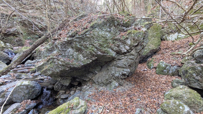
-
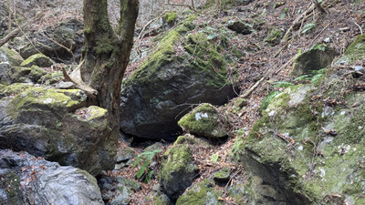
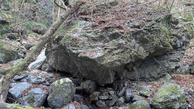
隠れ岩(さらに下流)
-
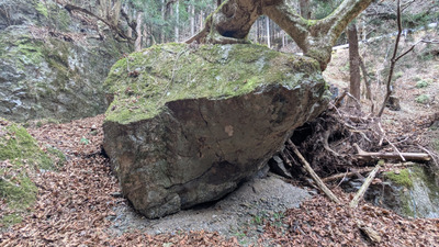
マジカルツリーロック(さらに下流、堰堤上)
-
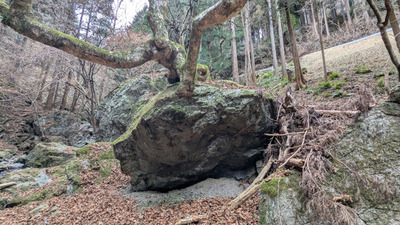
Nearby Crags
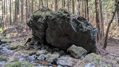
嘴岩と周辺
椚平ボルダー
35.9653269
139.2147113
0
5
0
0
0
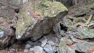
嘴岩と周辺
- 椚平ボルダー
- タイプ別: B5
- 標高: 約 456 m
- 駐車場から: 近め -15.0121476387949212
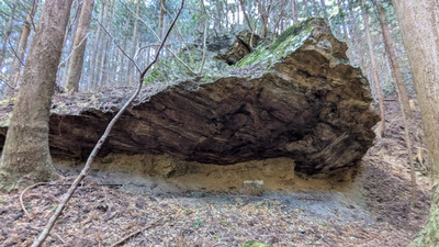
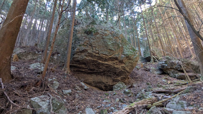
水道管の周辺
椚平ボルダー
35.965032
139.2153741
0
1
0
0
0
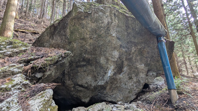
水道管の周辺
- 椚平ボルダー
- タイプ別: B1
- 標高: 約 441 m
- 駐車場から: 近め -30.7291732459356564
林道下の岩
椚平ボルダー
35.9668048
139.2181505
0
0
0
0
0
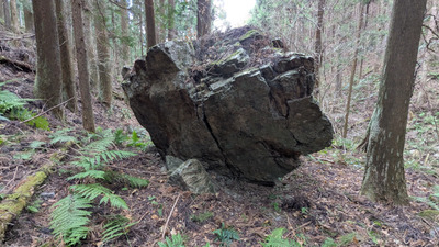
林道下の岩
- 椚平ボルダー
- 標高: 約 388 m
- 駐車場から: 近め -13.4324071597338636
草餅岩
椚平ボルダー
35.9677567
139.2184499
0
1
0
0
0
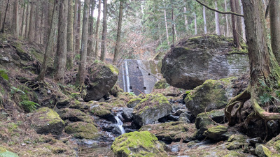
草餅岩
- 椚平ボルダー
- タイプ別: B1
- 標高: 約 374 m
- 駐車場から: 近め -33.780585653211096
大築城跡入り口エリア
椚平ボルダー
35.97203
139.2229848
0
0
0
0
0
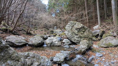
大築城跡入り口エリア
- 椚平ボルダー
- 標高: 約 299 m
- 駐車場から: 近め 64.9330834747854468
Loading...
 Tap the Share button (a square with an arrow) at the bottom of the screen. If you can't find it, tap "…" and select "Share"