
情報提供
How to Use
デビルズタワー岩峰群
でびるずたわーがんぽうぐん
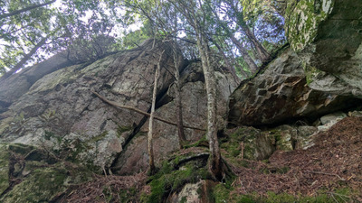
沢沿いを詰める。踏み跡は所々明瞭。
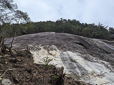
小滝まで詰めて右側の斜面を少し登ると岩場に至る。
Checked in at 小川山 today:
0
Basic Info
| Area Info | 長野県 / 小川山 烏帽子岩・ヨバリ沢周辺 / |
|---|---|
| GPS Location | 35.8924043,138.6376592 |
| Elevation |
Approx. 1901 m
Parking Elevation Approx. 1585 m(Diff:316 m) |
| Distance from Parking | 1782 m |
| Aspect / Sun Exposure |
N, E, W
Sun Hours (Estimate)
N: No sun
E: 6:30〜11:40
W: 11:40〜16:40
|
| First Ascensionists |
Route Distribution
Tap the bar chart to view routes for each grade.
リード(クラック)(1 routes)Routes
Tap red lines to show the route card
-
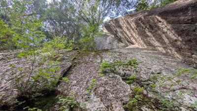
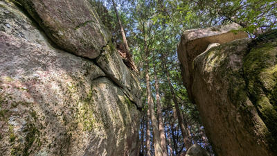
西面
-
-
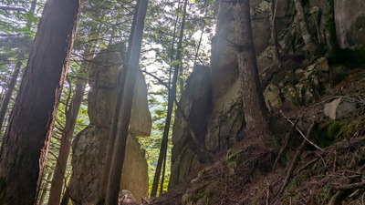
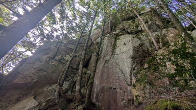
東面
-
-
Loading...
Nearby Crags
ヨバリ沢
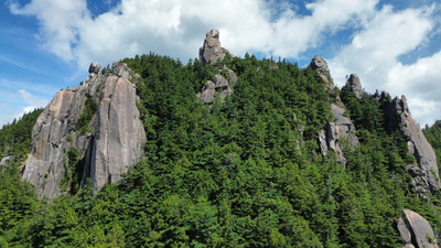
ヨバリ沢入口から暫くは踏み跡明瞭。
尾根沿いは分かりづらいが、岩場まで赤テープの目印あり。
注意していれば迷わずアプローチできる。
小川山
烏帽子岩・ヨバリ沢周辺
35.8894586
138.6316976
1
0
0
33
2
ヨバリ沢
1
- 小川山 / 烏帽子岩・ヨバリ沢周辺
- タイプ別: C33 M2
- 標高: 約 2149 m
- 駐車場から: 遠い 3774.413426981611716
裏烏帽子
うらえぼし
Uraeboshi
小川山
烏帽子岩・ヨバリ沢周辺
35.898962
138.643325
0
0
7
2
2

裏烏帽子Uraeboshi
- 小川山 / 烏帽子岩・ヨバリ沢周辺
- タイプ別: F7 C2 M2
- 標高: 約 1852 m
- 駐車場から: 遠い 860.33592151527051
フェニックスの大岩
ふぇにっくすのおおいわ
Fenikkusunooiwa
小川山
涸沢岩峰群・ゴジラ岩周辺
35.8997194
138.6317639
5
0
9
3
0
フェニックスの大岩Fenikkusunooiwa
5
- 小川山 / 涸沢岩峰群・ゴジラ岩周辺
- タイプ別: F9 C3
- 標高: 約 1707 m
- 駐車場から: そこそこ 446.267505867432564
ひよこ豆の周辺
ひよこまめのしゅうへん
Hiyokomamenoshuhen
小川山
涸沢岩峰群・ゴジラ岩周辺
35.9014366
138.6334206
1
0
6
4
0

ひよこ豆の周辺Hiyokomamenoshuhen
1
- 小川山 / 涸沢岩峰群・ゴジラ岩周辺
- タイプ別: F6 C4
- 標高: 約 1727 m
- 駐車場から: そこそこ 416.0831550204399216
続おじさん岩・プチロック
ぞくおじさんいわ・ぷちろっく
Zokuojisaniwa Puchirokku
小川山
八幡沢・ガマスラブ周辺
35.9022238
138.637146
0
0
6
0
0

続おじさん岩・プチロックZokuojisaniwa Puchirokku
- 小川山 / 八幡沢・ガマスラブ周辺
- タイプ別: F6
- 標高: 約 1658 m
- 駐車場から: そこそこ 159.4220612698003866
烏帽子岩左稜線
えぼしいわさりょうせん
Eboshiiwasaryosen
小川山
烏帽子岩・ヨバリ沢周辺
35.90141789588555
138.64274109172962
2
0
0
0
1
烏帽子岩左稜線Eboshiiwasaryosen
2
- 小川山 / 烏帽子岩・ヨバリ沢周辺
- タイプ別: M1
- 標高: 約 1793 m
- 駐車場から: 遠め 497.1437611090868736
蝶型岩峰
小川山
七賢の岩場・東股沢岩峰群
35.890556
138.649722
0
0
2
4
2
蝶型岩峰
- 小川山 / 七賢の岩場・東股沢岩峰群
- タイプ別: F2 C4 M2
- 標高: 約 2032 m
- 駐車場から: 遠め 502.6840610895945408
ガマスラブ周辺
がますらぶしゅうへん
Gamasurabushuhen
小川山
八幡沢・ガマスラブ周辺
35.9027936
138.6378071
3
0
27
2
1
ガマスラブ周辺Gamasurabushuhen
3
- 小川山 / 八幡沢・ガマスラブ周辺
- タイプ別: F27 C2 M1
- 標高: 約 1638 m
- 駐車場から: 近め 102.9368538676650585
Loading...
 Tap the Share button (a square with an arrow) at the bottom of the screen. If you can't find it, tap "…" and select "Share"