情報提供
How to Use

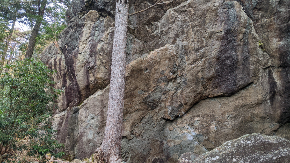
テンプテーション・アルケミア周辺
レアック、アルケミア、オンモラキ、テンプテーション
Basic Info
| Area Info | 岐阜県 / 恵那・笠置山 テンプテーションエリア / |
|---|---|
| GPS Location | 35.5029977,137.3488476 |
| Elevation |
Approx. 846 m
Parking Elevation Approx. 972 m(Diff:-126 m) |
| Distance from Parking | 370 m |
Route Distribution
Tap the bar chart to view routes for each grade.
ボルダー(4 routes)Routes
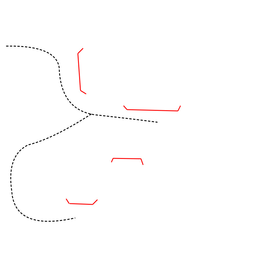
Tap red lines to show route name and grade
-
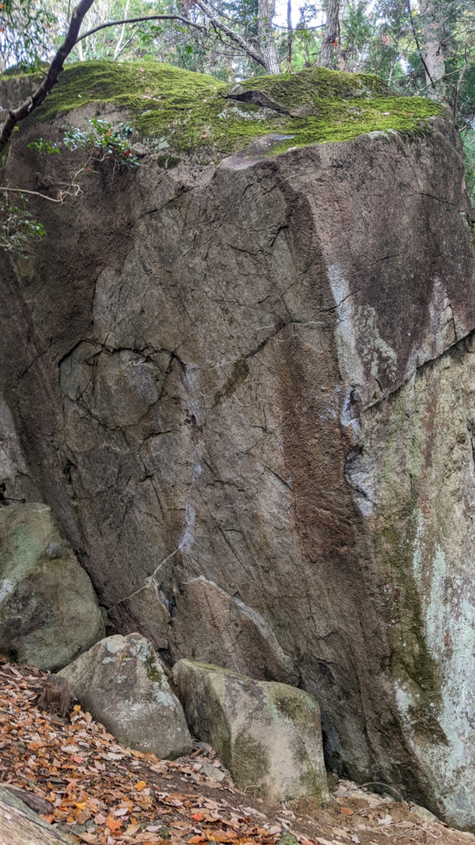
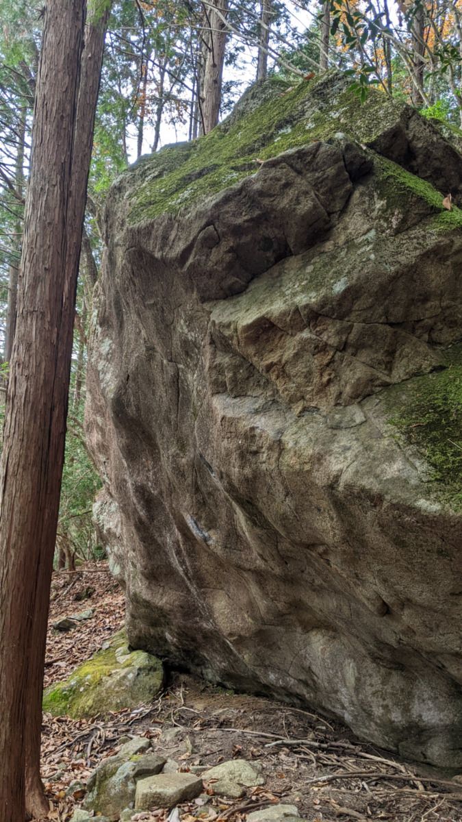
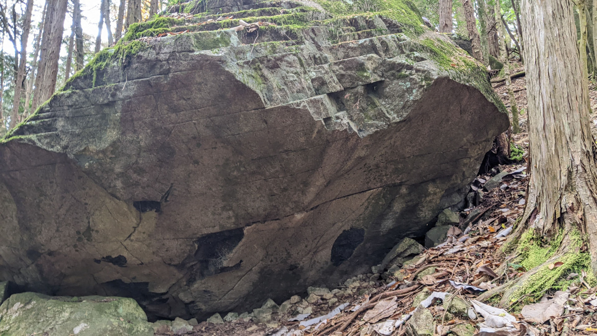
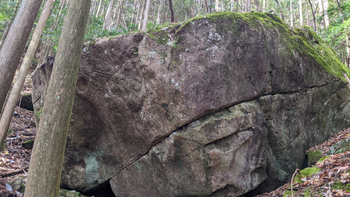
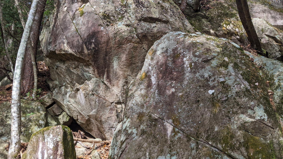
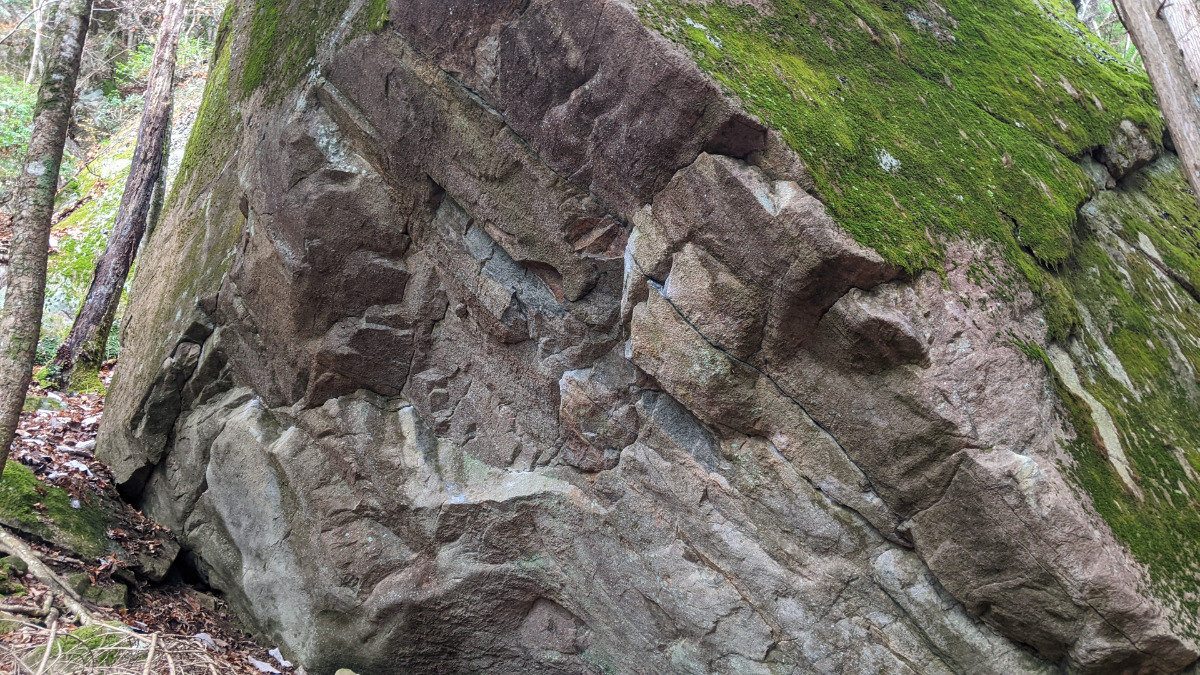
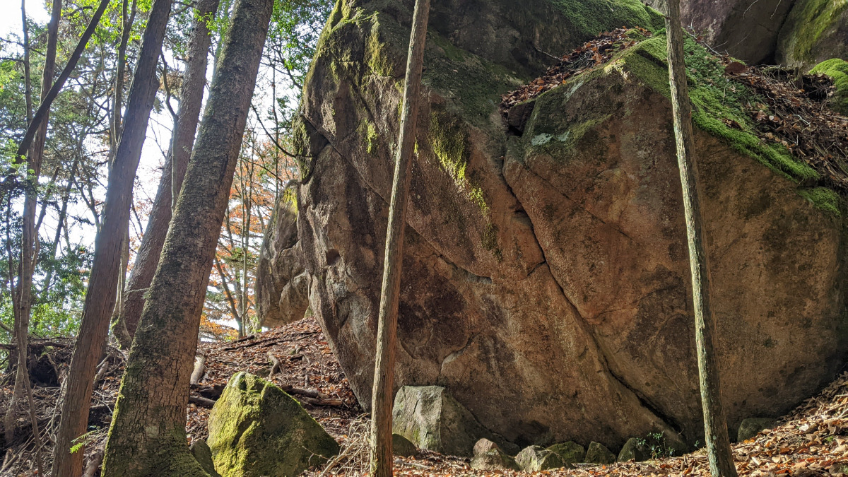
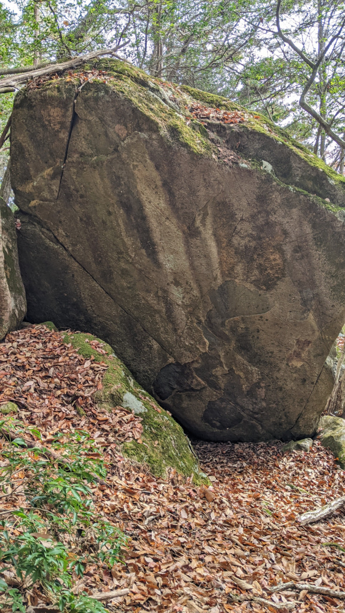
アルケミアの岩
-
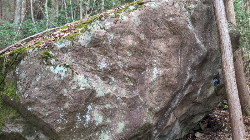
レアックの岩
-
-
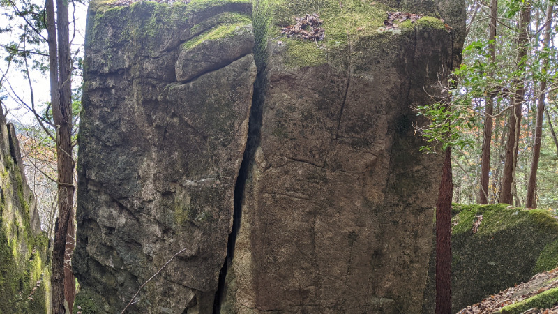
テンプテーションの岩
-
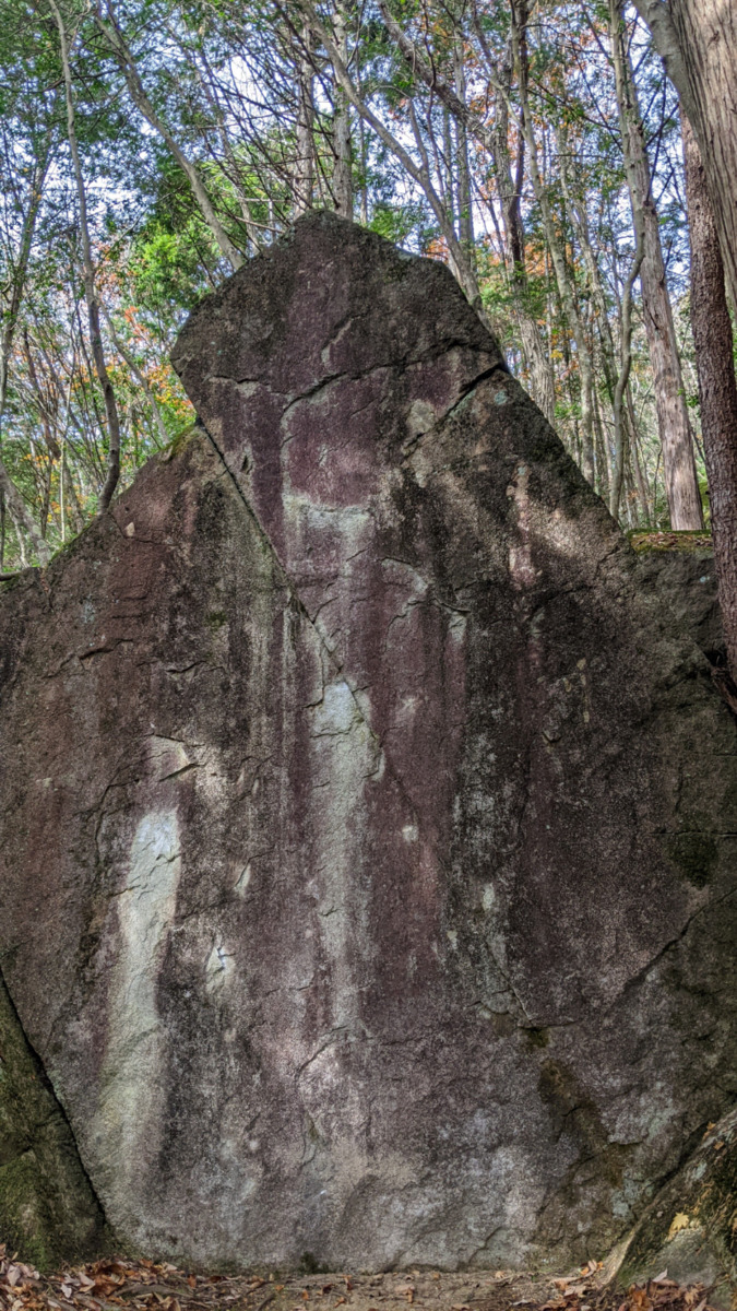
オンモラキの岩
-
簡単
4~3級
2~1級
~三段

Loading...
動画
-
※自動抽出の動画
-
※自動抽出の動画
-
※自動抽出の動画
Comments
No comments yet.
Post CommentNearby Crags
ツチグモ岩周辺
ツチグモ岩・小岩コケ・ドドメキ岩・ボカンテ
恵那・笠置山
テンプテーションエリア
35.5028645
137.3484527
0
6
0
0
0
ツチグモ岩周辺
- 恵那・笠置山 / テンプテーションエリア
- タイプ別: B6
- 難易度別: E3 M2 H1
- 駐車場から: 近め -123.1968057629791794
テーブル岩
恵那・笠置山
テンプテーションエリア
35.5026439
137.3490015
0
3
0
0
0
テーブル岩
- 恵那・笠置山 / テンプテーションエリア
- タイプ別: B3
- 難易度別: M3
- 駐車場から: 登り返し有 -176.4416662513328364
薫風岩と周辺
恵那・笠置山
テンプテーションエリア
35.5024987
137.3487196
0
6
0
0
0
薫風岩と周辺
- 恵那・笠置山 / テンプテーションエリア
- タイプ別: B6
- 難易度別: E1 M4 H1
- 駐車場から: 登り返し有 -157.534057594386531
サラシア岩
恵那・笠置山
電波塔尾根エリア
35.5033823
137.3483484
0
1
0
0
0
サラシア岩
- 恵那・笠置山 / 電波塔尾根エリア
- タイプ別: B1
- 難易度別: H1
- 駐車場から: 近め -91.9131161080863654
石神岩・扇岩・モモ岩
恵那・笠置山
テンプテーションエリア
35.5024226
137.348847
0
12
0
0
0
石神岩・扇岩・モモ岩
- 恵那・笠置山 / テンプテーションエリア
- タイプ別: B12
- 難易度別: E3 M8 H1
- 駐車場から: 登り返し有 -173.0350762484864646
孔雀岩
恵那・笠置山
テンプテーションエリア
35.5025217
137.349313
0
4
0
0
0

孔雀岩
- 恵那・笠置山 / テンプテーションエリア
- タイプ別: B4
- 難易度別: E1 M3
- 駐車場から: 登り返し有 -206.9406981234242001
ポワント岩周辺
恵那・笠置山
テンプテーションエリア
35.5023811
137.3491893
0
1
0
0
0
ポワント岩周辺
- 恵那・笠置山 / テンプテーションエリア
- タイプ別: B1
- 難易度別: M1
- 駐車場から: 登り返し有 -202.9483326105114048
マジムン・天狐の岩
恵那・笠置山
電波塔尾根エリア
35.5031857
137.3479649
0
2
0
0
0
マジムン・天狐の岩
- 恵那・笠置山 / 電波塔尾根エリア
- タイプ別: B2
- 難易度別: H2
- 駐車場から: 近め -73.3994739851927652
Loading...
×