情報提供
How to Use
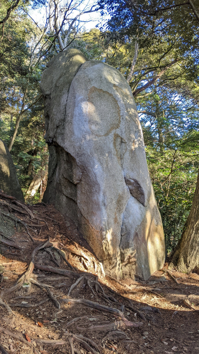

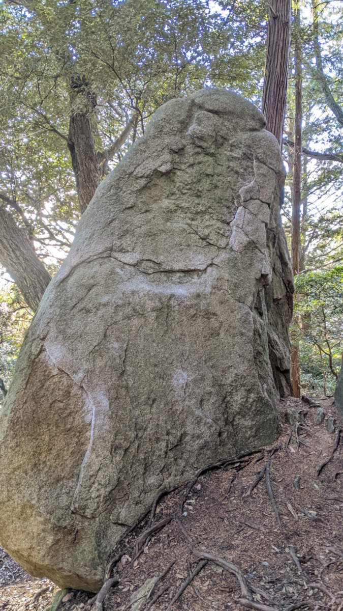
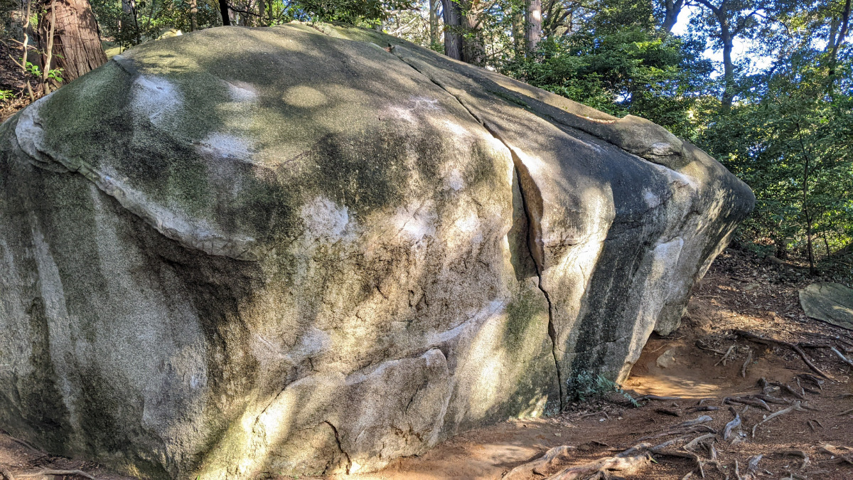
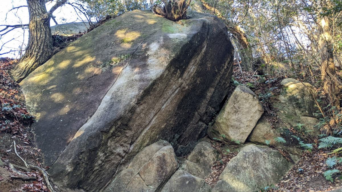
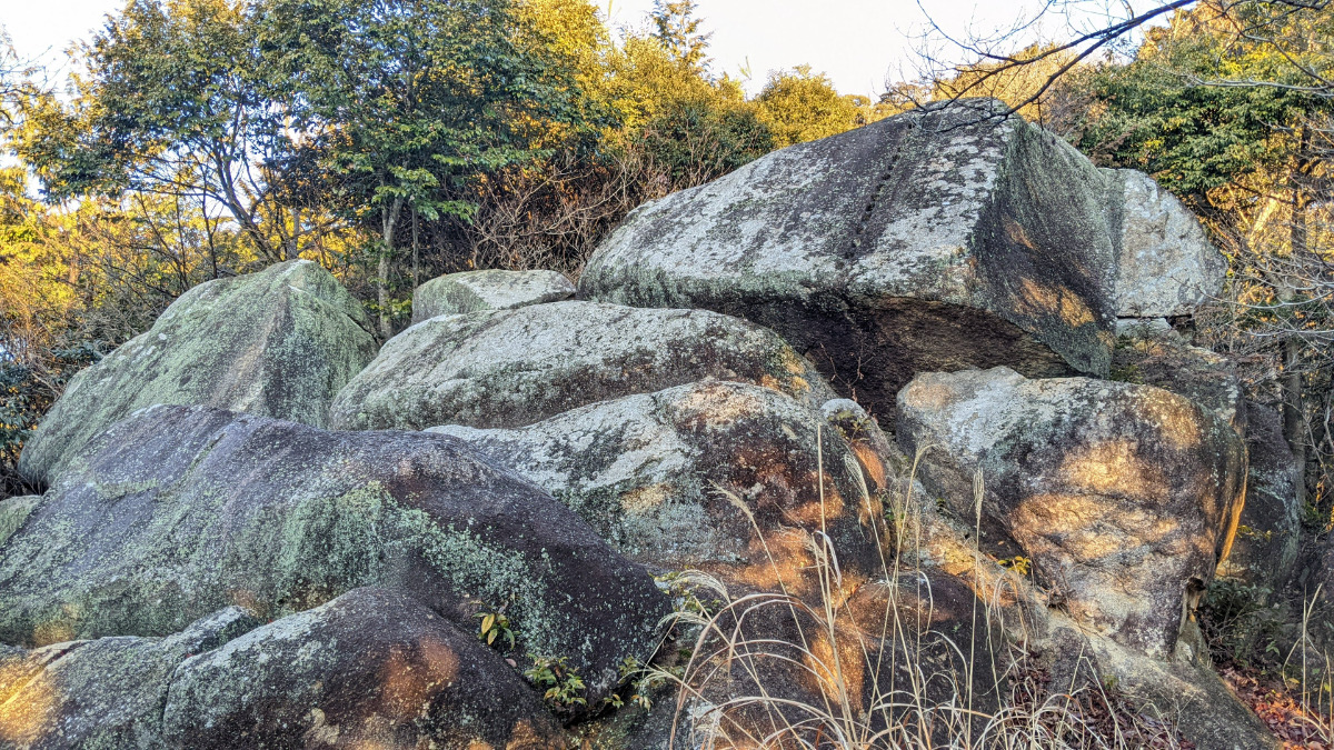
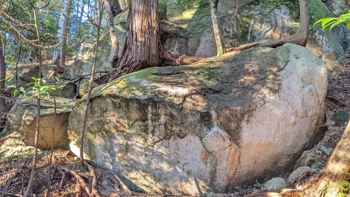
ラブ岩
Basic Info
| Area Info | 茨城県 / 笠間ボルダー |
|---|---|
| GPS Location | 36.38164717341926,140.26871852881874 |
| Elevation |
Approx. 143 m
Parking Elevation Approx. 140 m(Diff:3 m) |
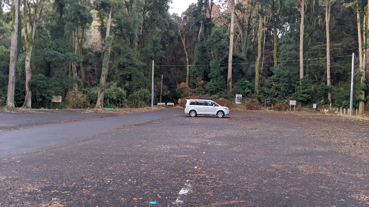
| Distance from Parking | 354 m |
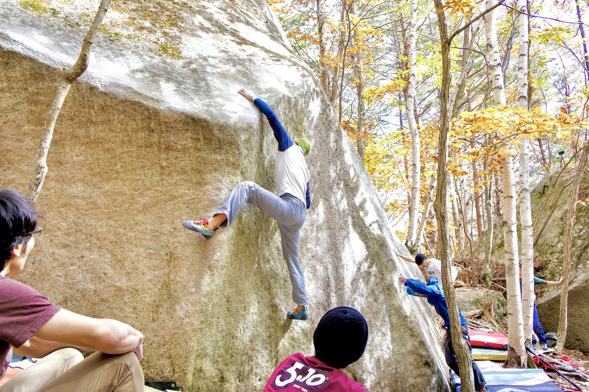
Route Distribution
Tap the bar chart to view routes for each grade.
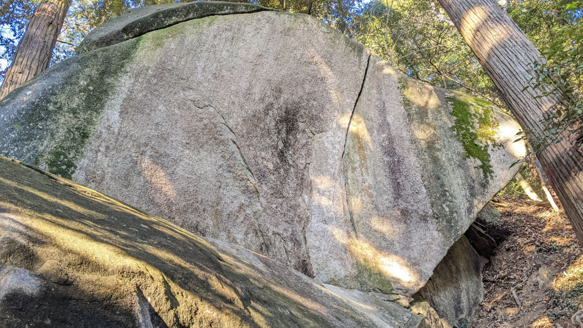
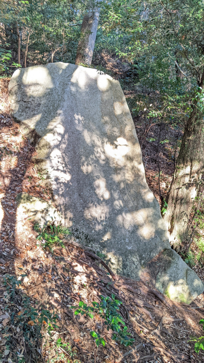
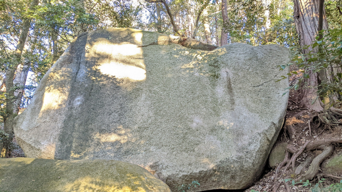
ボルダー(6 routes)Routes
Tap red lines to show route name and grade

簡単
4~3級
2~1級
~三段

Loading...
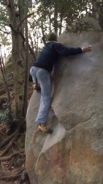
動画
-
※自動抽出の動画
-
※自動抽出の動画
-
※自動抽出の動画
-
※自動抽出の動画
Comments
No comments yet.
Post CommentNearby Crags
扇岩
笠間ボルダー
36.3817774
140.2687527
0
5
0
0
0
扇岩
- 笠間ボルダー
- タイプ別: B5
- 難易度別: E2 M3
- 駐車場から: 近め 6.1646200014508812
スラブ岩
笠間ボルダー
36.381807157469204
140.26867941838532
0
5
0
0
0
スラブ岩
- 笠間ボルダー
- タイプ別: B5
- 難易度別: E4 M1
- 駐車場から: 近め 9.0880178978072286
ハートビート岩
笠間ボルダー
36.381485
140.2688519
0
10
0
0
0
ハートビート岩
- 笠間ボルダー
- タイプ別: B10
- 難易度別: E5 M4 H1
- 駐車場から: 近め -13.5218470719335256
石器人岩
笠間ボルダー
36.38176003208204
140.26893842637193
0
5
0
0
0

石器人岩
- 笠間ボルダー
- タイプ別: B5
- 難易度別: E3 M2
- 駐車場から: 近め -10.559258385470355
シンプル岩
笠間ボルダー
36.3814786
140.2688831
0
16
0
0
0
シンプル岩
- 笠間ボルダー
- タイプ別: B16
- 難易度別: E3 M12 H1
- 駐車場から: 近め -13.5888790554708912
ギル岩・ゴールドフィンガー岩
笠間ボルダー
36.3818157
140.2684788
0
6
0
0
0
ギル岩・ゴールドフィンガー岩
- 笠間ボルダー
- タイプ別: B6
- 難易度別: E1 M4 H1
- 駐車場から: 近め 19.693996850212218
石倉岩周辺
笠間ボルダー
36.381758662942865
140.26840605765474
0
8
0
0
0
石倉岩周辺
- 笠間ボルダー
- タイプ別: B8
- 難易度別: E4 M4
- 駐車場から: 近め 20.8909013452334307
インセンスの岩
笠間ボルダー
36.3818416
140.2689914
0
4
0
0
0
インセンスの岩
- 笠間ボルダー
- タイプ別: B4
- 難易度別: E2 M2
- 駐車場から: 近め -15.590028857181291
Loading...
×