情報提供
How to Use
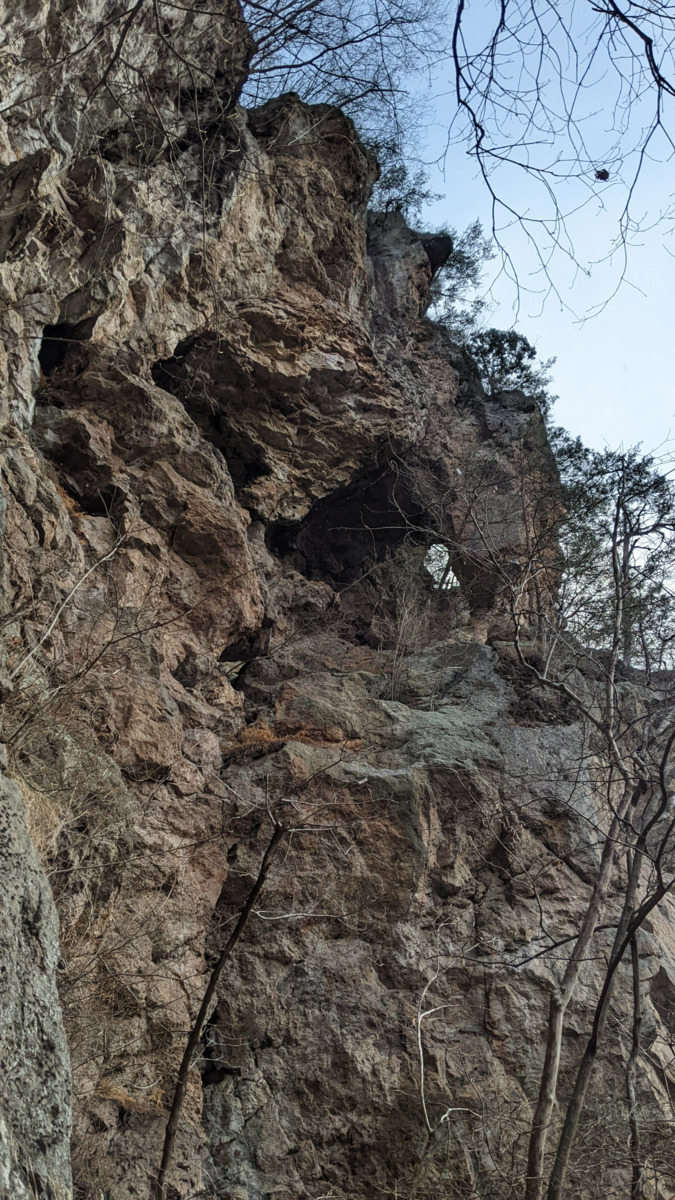
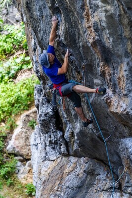
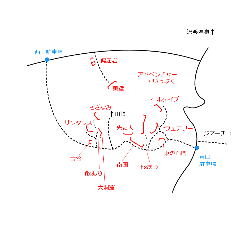
 先史人のエリア/ドラムソング
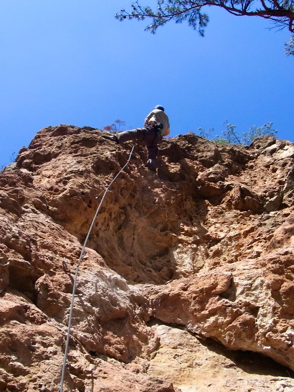
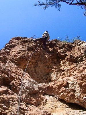
 先史人のエリア/もぐらたたき
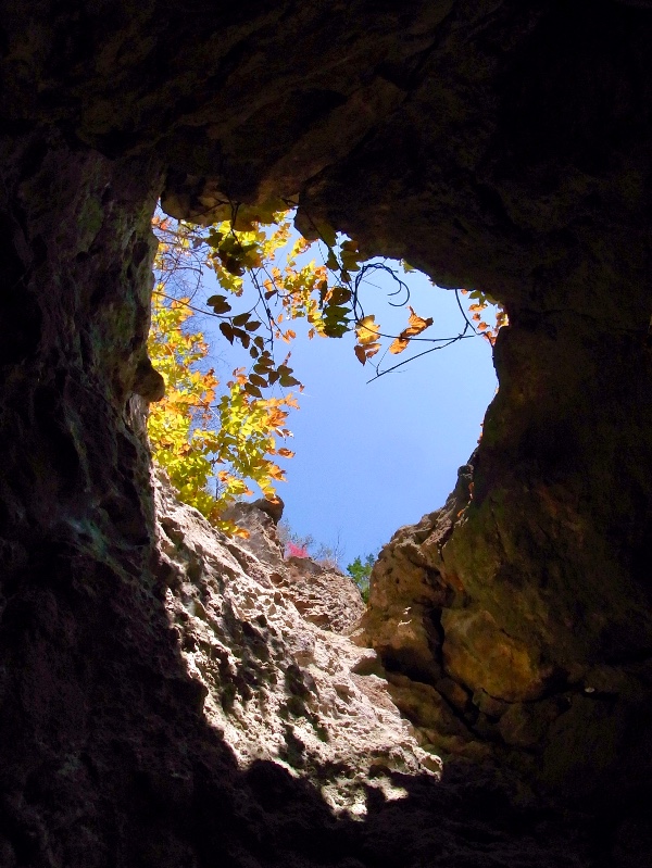
先史人のエリア
Checked in at 有笠山 today:
0
Basic Info
| Area Info | 群馬県 / 有笠山 |
|---|---|
| GPS Location | 36.6117245,138.746809 |
| Elevation |
Approx. 778 m
Parking Elevation Approx. 638 m(Diff:140 m) |
| Distance from Parking | 277 m |
| Aspect / Sun Exposure |
S
Sun Hours (Estimate)
S: 6:30〜16:40
|
| Monthly Activity |
Route Distribution
Tap the bar chart to view routes for each grade.
リード(フェイス)(3 routes)⭐Recommended Routes
Sign in to get more
- Automatic route recommendations matched to your grade, based on your ascents
- Log your ascents and track your progress with charts
- Save favorite crags and routes, and view topos offline


Routes
Tap red lines to show the route card
-
-
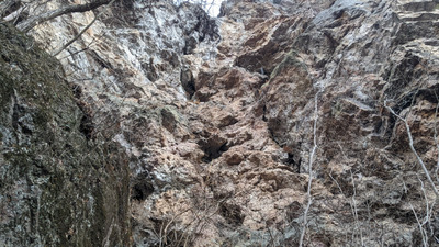
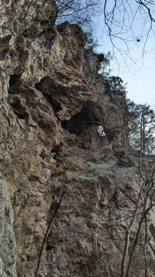
取り付き
もぐらたたき
リード(フェイス)
5.7
2
0
0
1
36.6117245
138.746809
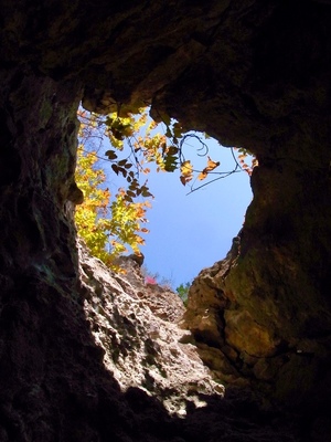
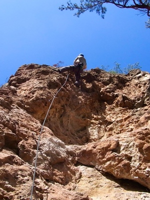
ドラムソング
リード(フェイス)
5.10d/11a
10
1
1
3
36.6117245
138.746809

Loading...
Nearby Crags
南国エリア
有笠山
36.6115062
138.7473742
0
0
16
0
0
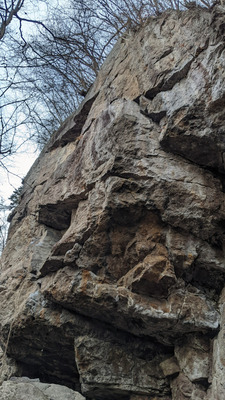
南国エリア
- 有笠山
- タイプ別: F16
- 標高: 約 754 m
- 駐車場から: 近め 82.7136126556180536
アドベンチャーランド
有笠山
36.6118418
138.7475355
1
1
15
0
0
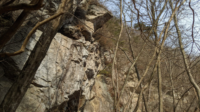
アドベンチャーランド
1
- 有笠山
- タイプ別: B1 F15
- 標高: 約 775 m
- 駐車場から: 近め 86.7193977646641447
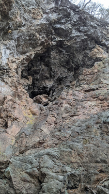
いっぷくエリア
有笠山
36.6122756
138.7474564
0
0
4
0
0
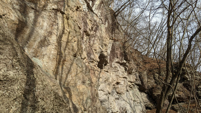
いっぷくエリア
- 有笠山
- タイプ別: F4
- 標高: 約 792 m
- 駐車場から: 近め 96.7780040053467564
さざなみエリア
大洞窟エリア左側のfixを使いアプローチする。
日当たり良好。
有笠山
36.6121174
138.7457555
0
0
6
0
0
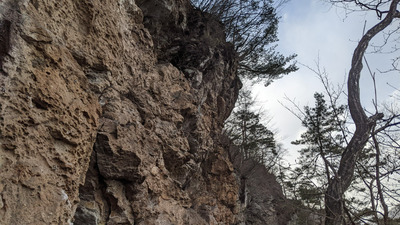
さざなみエリア
- 有笠山
- タイプ別: F6
- 標高: 約 825 m
- 駐車場から: そこそこ 203.2737063254068215
古谷ロック
有笠山
36.6115616
138.7455738
0
0
4
0
0
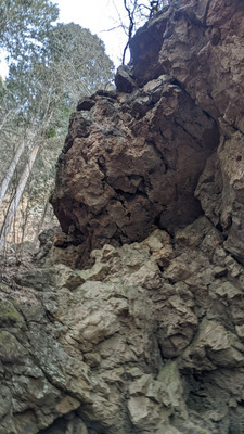
古谷ロック
- 有笠山
- タイプ別: F4
- 標高: 約 760 m
- 駐車場から: 近め 142.1485813304339226
サンダンスエリア
有笠山
36.6120167
138.7452707
0
0
19
0
0
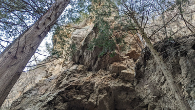
サンダンスエリア
- 有笠山
- タイプ別: F19
- 標高: 約 752 m
- 駐車場から: 近め 139.0279907188350756
フェアリーロック
有笠山
36.6121182
138.7484471
1
0
19
0
0
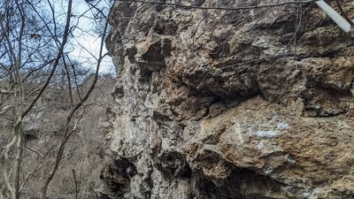
フェアリーロック
1
- 有笠山
- タイプ別: F19
- 標高: 約 692 m
- 駐車場から: 近め 20.1318579055222758
Loading...
 Tap the Share button (a square with an arrow) at the bottom of the screen. If you can't find it, tap "…" and select "Share"