情報提供
How to Use
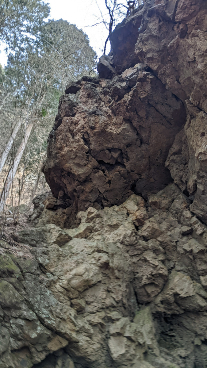
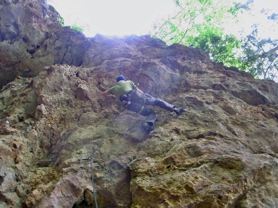 古谷ロック/夢の浮橋
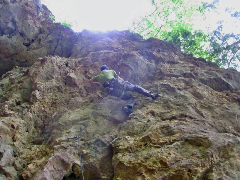
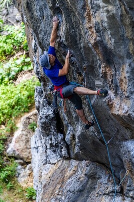
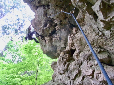 古谷ロック/不思議なルート
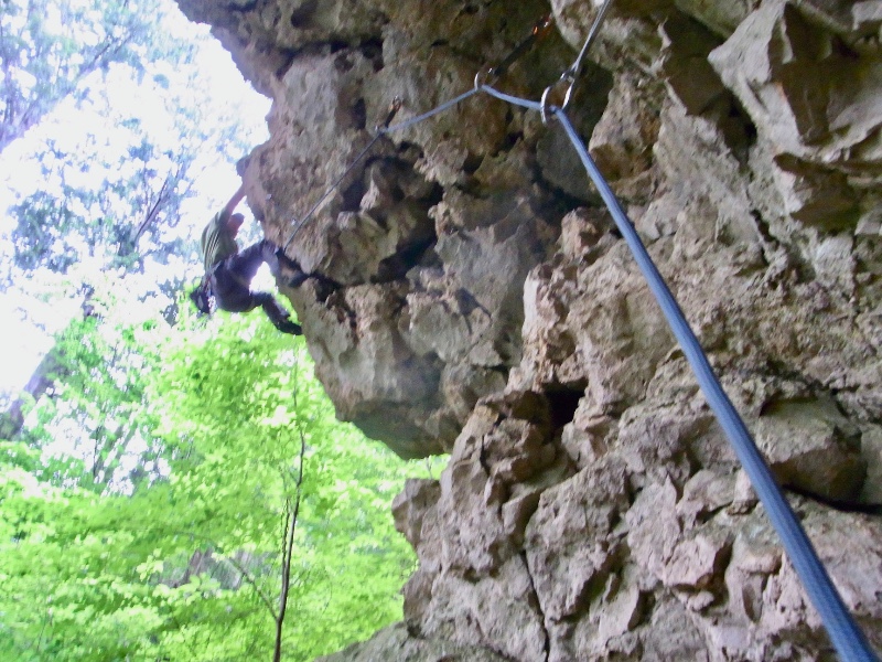
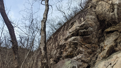
古谷ロック
Checked in at 有笠山 today:
0
Basic Info
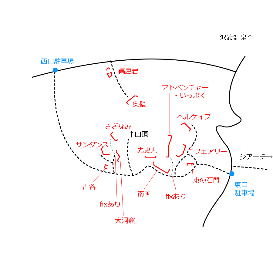
| Area Info | 群馬県 / 有笠山 |
|---|---|
| GPS Location | 36.6115616,138.7455738 |
| Elevation |
Approx. 760 m
Parking Elevation Approx. 638 m(Diff:122 m) |
| Distance from Parking | 388 m |
| Aspect / Sun Exposure |
SW
Sun Hours (Estimate)
SW: 8:40〜16:40
|
Route Distribution
Tap the bar chart to view routes for each grade.
リード(フェイス)(4 routes)⭐Recommended Routes
Sign in to get more
- Automatic route recommendations matched to your grade, based on your ascents
- Log your ascents and track your progress with charts
- Save favorite crags and routes, and view topos offline
 よりお願い
このサイトは有志により開発・運営されています。
サーバ代等の運営費用は広告費や寄付で賄っていますが現状赤字運営です。
全画面の広告などは利用したくありませんし、できれば広告も設置したくありません。
便利・良いねと思ったら以下ボタンより寄付をしていただけると助かります。

Routes
Tap red lines to show the route card
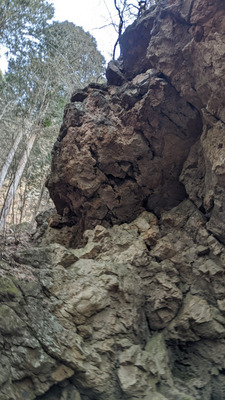
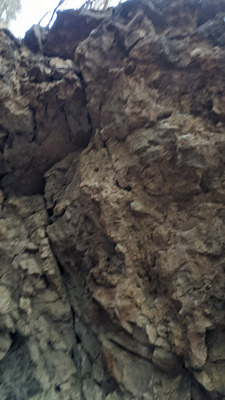
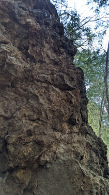
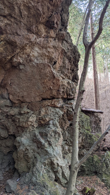
不思議なルート
リード(フェイス)
5.10c
2
0
0
1
36.6115616
138.7455738
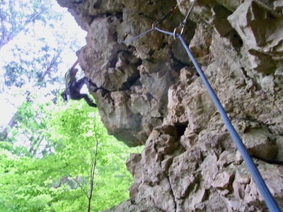
夢の浮橋
リード(フェイス)
5.11a
12
2
1
2
36.6115616
138.7455738
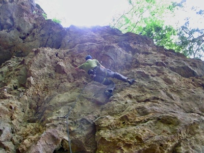

Loading...
動画
-
※自動抽出の動画
Nearby Crags
サンダンスエリア
有笠山
36.6120167
138.7452707
0
0
19
0
0
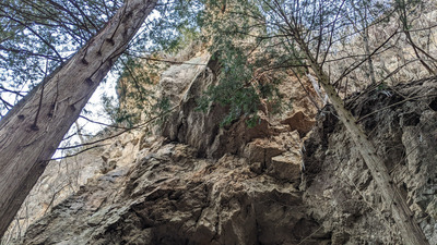
サンダンスエリア
- 有笠山
- タイプ別: F19
- 標高: 約 752 m
- 駐車場から: 近め 139.0279907188350756
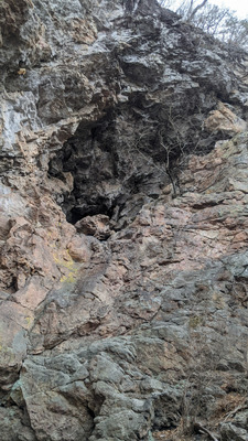
さざなみエリア
大洞窟エリア左側のfixを使いアプローチする。
日当たり良好。
有笠山
36.6121174
138.7457555
0
0
6
0
0
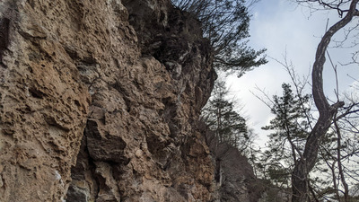
さざなみエリア
- 有笠山
- タイプ別: F6
- 標高: 約 825 m
- 駐車場から: そこそこ 203.2737063254068215
先史人のエリア
有笠山
36.6117245
138.746809
0
0
3
0
0
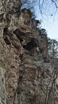
先史人のエリア
- 有笠山
- タイプ別: F3
- 標高: 約 778 m
- 駐車場から: 近め 116.335936561523532
南国エリア
有笠山
36.6115062
138.7473742
0
0
16
0
0
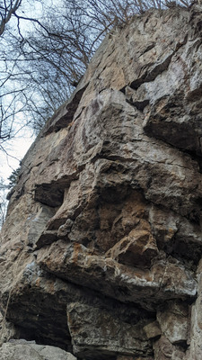
南国エリア
- 有笠山
- タイプ別: F16
- 標高: 約 754 m
- 駐車場から: 近め 82.7136126556180536
アドベンチャーランド
有笠山
36.6118418
138.7475355
1
1
15
0
0
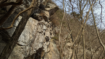
アドベンチャーランド
1
- 有笠山
- タイプ別: B1 F15
- 標高: 約 775 m
- 駐車場から: 近め 86.7193977646641447
いっぷくエリア
有笠山
36.6122756
138.7474564
0
0
4
0
0
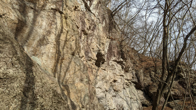
いっぷくエリア
- 有笠山
- タイプ別: F4
- 標高: 約 792 m
- 駐車場から: 近め 96.7780040053467564
Loading...
 Tap the Share button (a square with an arrow) at the bottom of the screen. If you can't find it, tap "…" and select "Share"