情報提供
How to Use
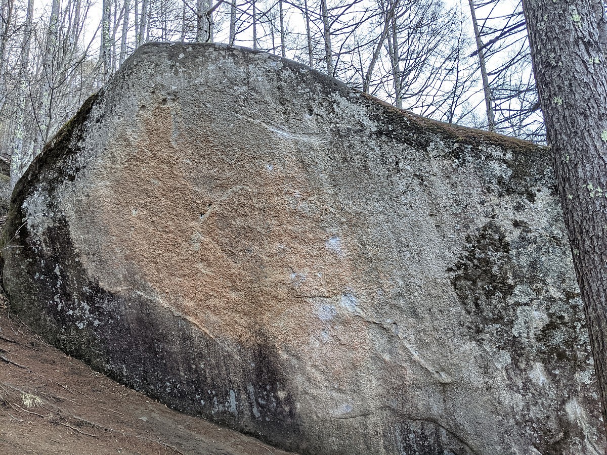
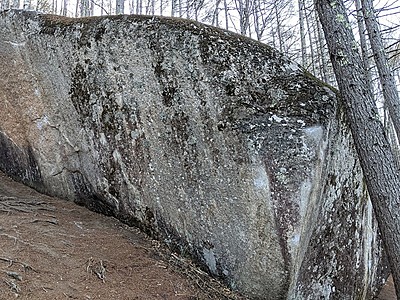
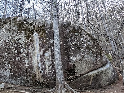
 阿修羅/ナーガSD


阿修羅
あしゅら
Checked in at 瑞牆山ボルダー today:
0
Basic Info
| Area Info | 山梨県 / 瑞牆山ボルダー 山形県エリア / |
|---|---|
| GPS Location | 35.89287,138.57691 |
| Elevation |
Approx. 1516 m
Parking Elevation Approx. 1471 m(Diff:45 m) |
| Distance from Parking | 442 m |
| Monthly Activity | |
| Favorites |
2
|
 しょー
 hibicore
Route Distribution
Tap the bar chart to view routes for each grade.
ボルダー(9 routes)⭐Recommended Routes
Sign in to get more
- Automatic route recommendations matched to your grade, based on your ascents
- Log your ascents and track your progress with charts
- Save favorite crags and routes, and view topos offline
Routes
Tap red lines to show the route card
-
-
-
-
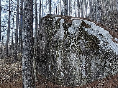
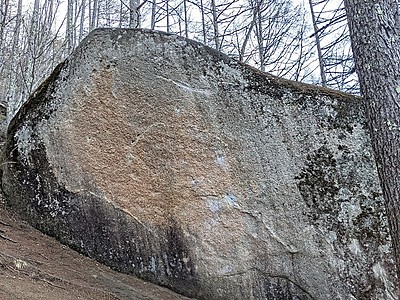
阿修羅横の岩
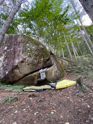
ナーガSD
ボルダー
1級
10
1
0
4
35.89287
138.57691
Loading...
動画
-
※自動抽出の動画
-
※自動抽出の動画
-
※自動抽出の動画
-
※自動抽出の動画
-
※自動抽出の動画
Nearby Crags
背骨岩
瑞牆山ボルダー
山形県エリア
35.89255
138.57692
0
4
0
0
0
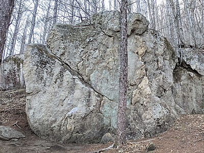
背骨岩
- 瑞牆山ボルダー / 山形県エリア
- タイプ別: B4
- 標高: 約 1516 m
- 駐車場から: 近め 63.3978523833610095
ツグミ岩・庭岩・キトラ岩
瑞牆山ボルダー
山形県エリア
35.89244
138.57662
0
9
0
0
0
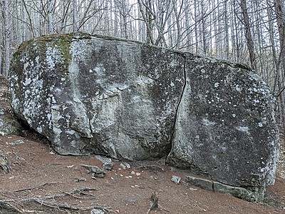
ツグミ岩・庭岩・キトラ岩
- 瑞牆山ボルダー / 山形県エリア
- タイプ別: B9
- 標高: 約 1503 m
- 駐車場から: 近め 44.4875078811291456
皇帝岩
こうていいわ
Koteiiwa
瑞牆山ボルダー
皇帝岩周辺ボルダー
35.89331
138.57383
3
18
0
0
0
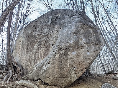
皇帝岩Koteiiwa
3
- 瑞牆山ボルダー / 皇帝岩周辺ボルダー
- タイプ別: B18
- 標高: 約 1447 m
- 駐車場から: 近め -20.5025969596373712
ねじねじの岩場
瑞牆山ボルダー
植樹祭エリア付近
35.895331
138.5781504
0
1
0
0
0
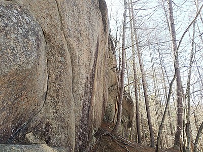
ねじねじの岩場
- 瑞牆山ボルダー / 植樹祭エリア付近
- タイプ別: B1
- 標高: 約 1568 m
- 駐車場から: 近め 118.0483324652988678
釜瀬川付近のボルダー
瑞牆山ボルダー
大面岩下エリア
35.89065
138.57934
0
7
0
0
0
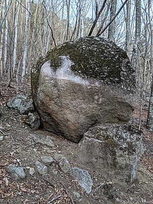
釜瀬川付近のボルダー
- 瑞牆山ボルダー / 大面岩下エリア
- タイプ別: B7
- 標高: 約 1526 m
- 駐車場から: 近め 127.3566616628234115
割れ岩
瑞牆山ボルダー
植樹祭エリア付近
35.89578
138.57783
0
3
0
0
0
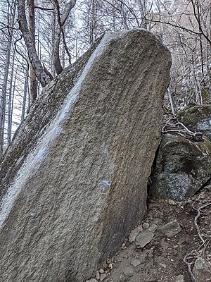
割れ岩
- 瑞牆山ボルダー / 植樹祭エリア付近
- タイプ別: B3
- 標高: 約 1528 m
- 駐車場から: 近め 63.6973769134913418
角岩・道祖伸
瑞牆山ボルダー
皇帝岩周辺ボルダー
35.89197
138.5733
1
4
0
0
0
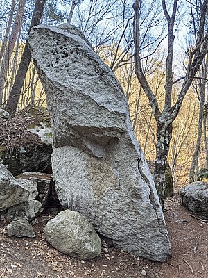
角岩・道祖伸
1
- 瑞牆山ボルダー / 皇帝岩周辺ボルダー
- タイプ別: B4
- 標高: 約 1433 m
- 駐車場から: 近め -49.6116502852689426
岩小屋
瑞牆山ボルダー
植樹祭エリア付近
35.89595
138.57739
0
9
0
0
0
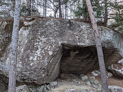
岩小屋
- 瑞牆山ボルダー / 植樹祭エリア付近
- タイプ別: B9
- 標高: 約 1518 m
- 駐車場から: 近め 46.9289705978431857
Loading...
 Tap the Share button (a square with an arrow) at the bottom of the screen. If you can't find it, tap "…" and select "Share"