情報提供
How to Use
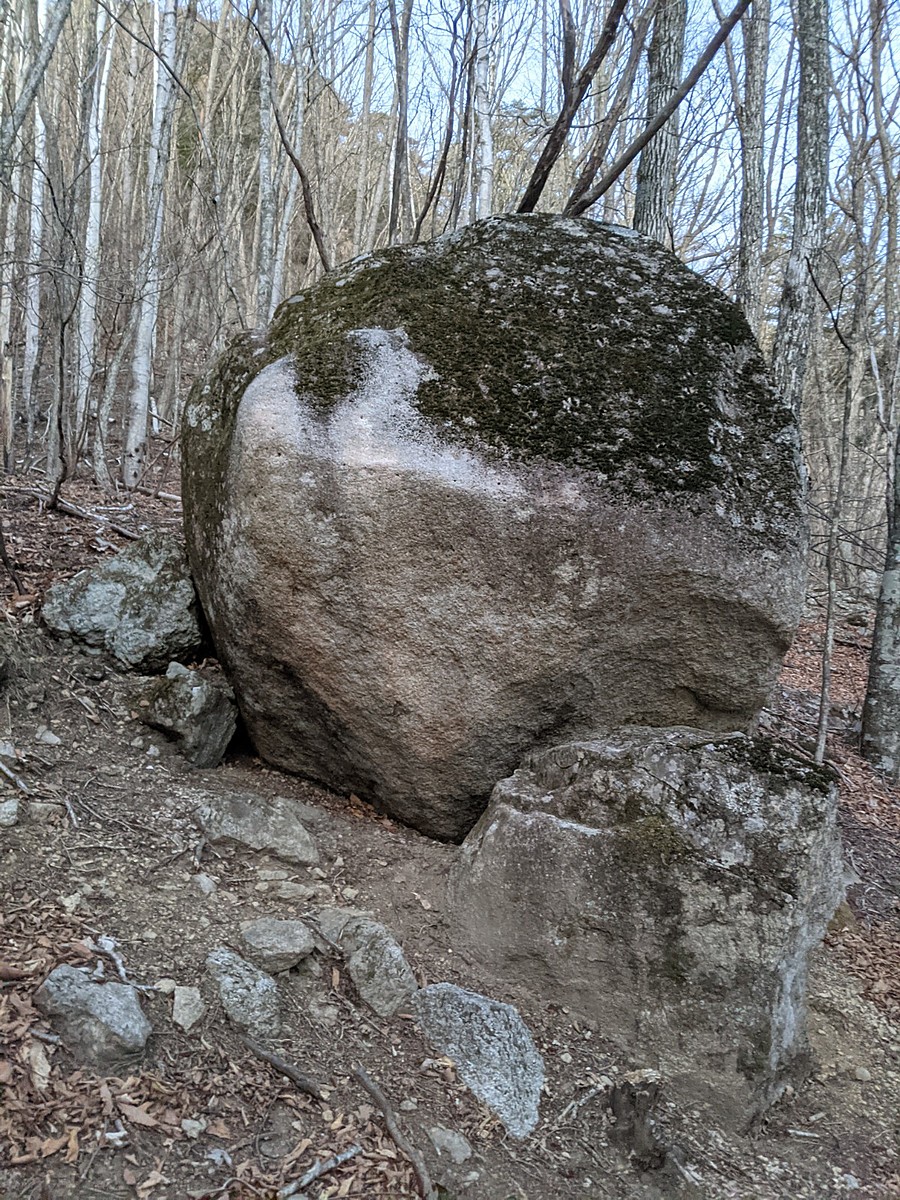
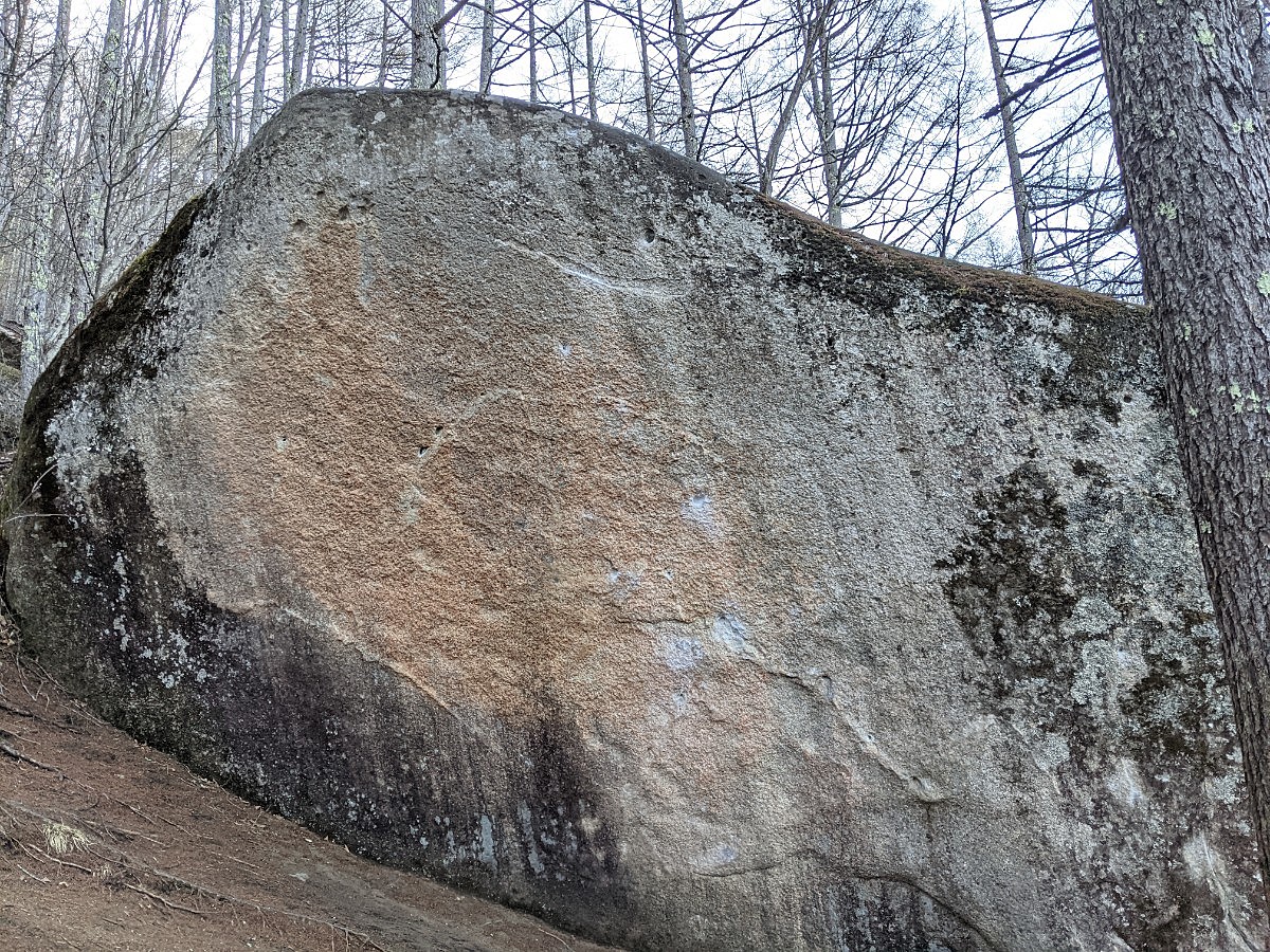
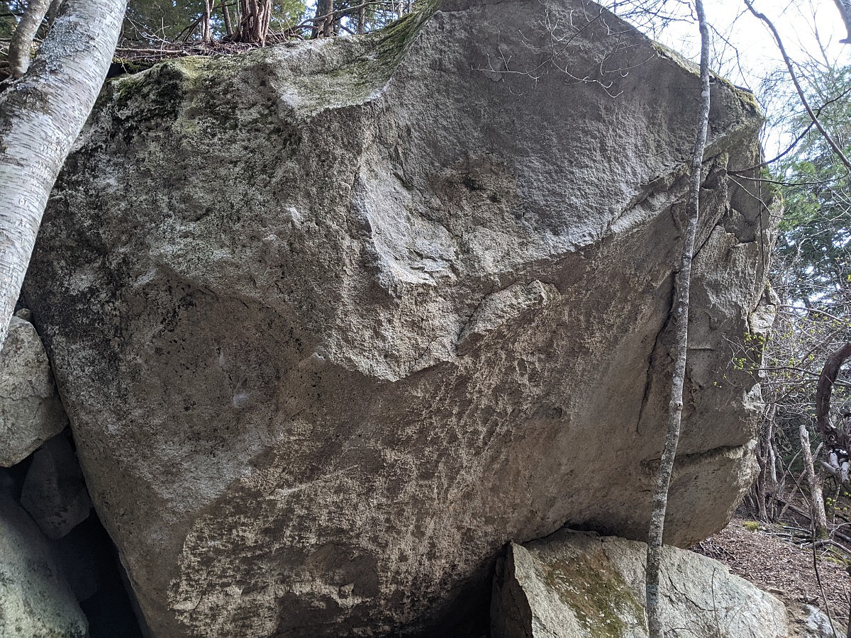
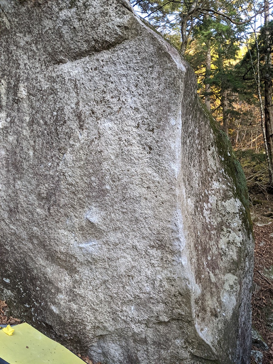
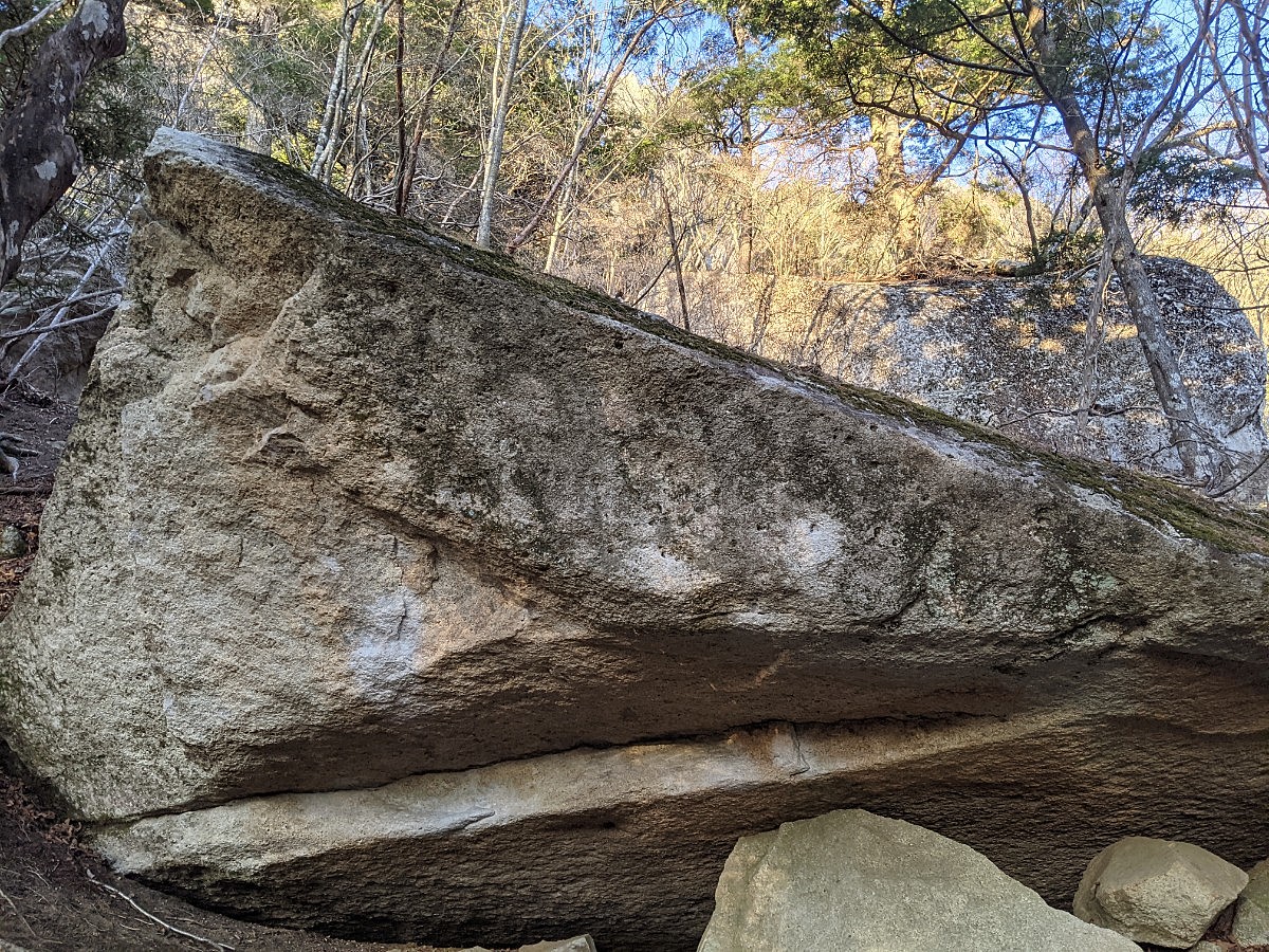
釜瀬川付近のボルダー
Basic Info
| Area Info | 山梨県 / 瑞牆山ボルダー 大面岩下エリア / |
|---|---|
| GPS Location | 35.89065,138.57934 |
| Elevation |
Approx. 1526 m
Parking Elevation Approx. 1471 m(Diff:55 m) |
| Distance from Parking | 772 m |
Route Distribution
Tap the bar chart to view routes for each grade.
ボルダー(7 routes)Routes
Tap red lines to show route name and grade
-
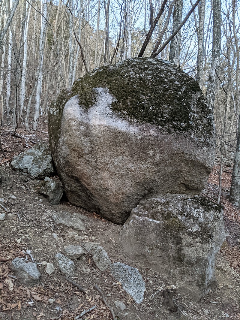
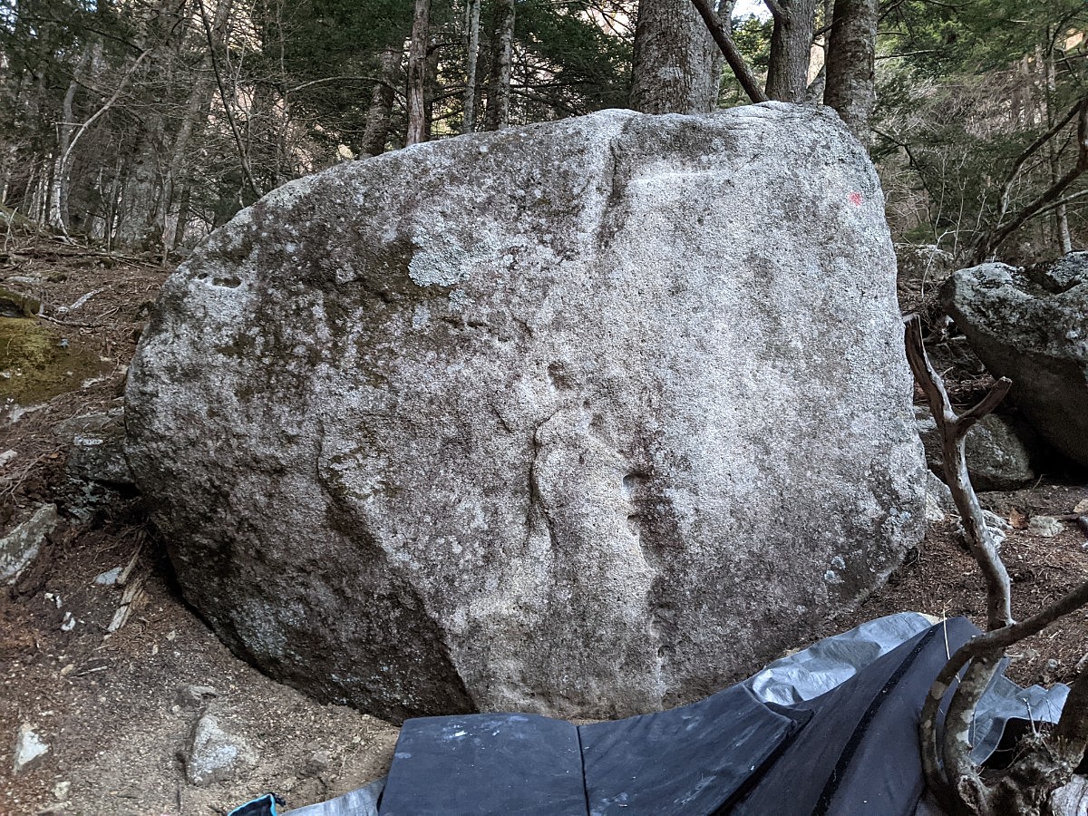
岩1
-
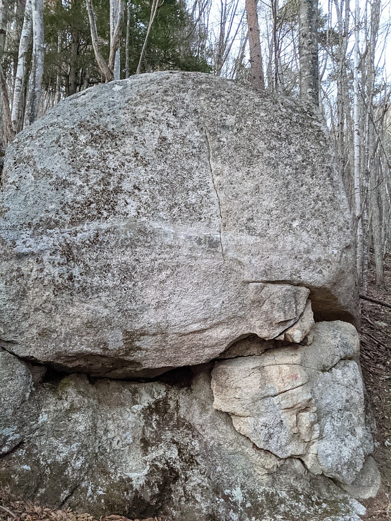
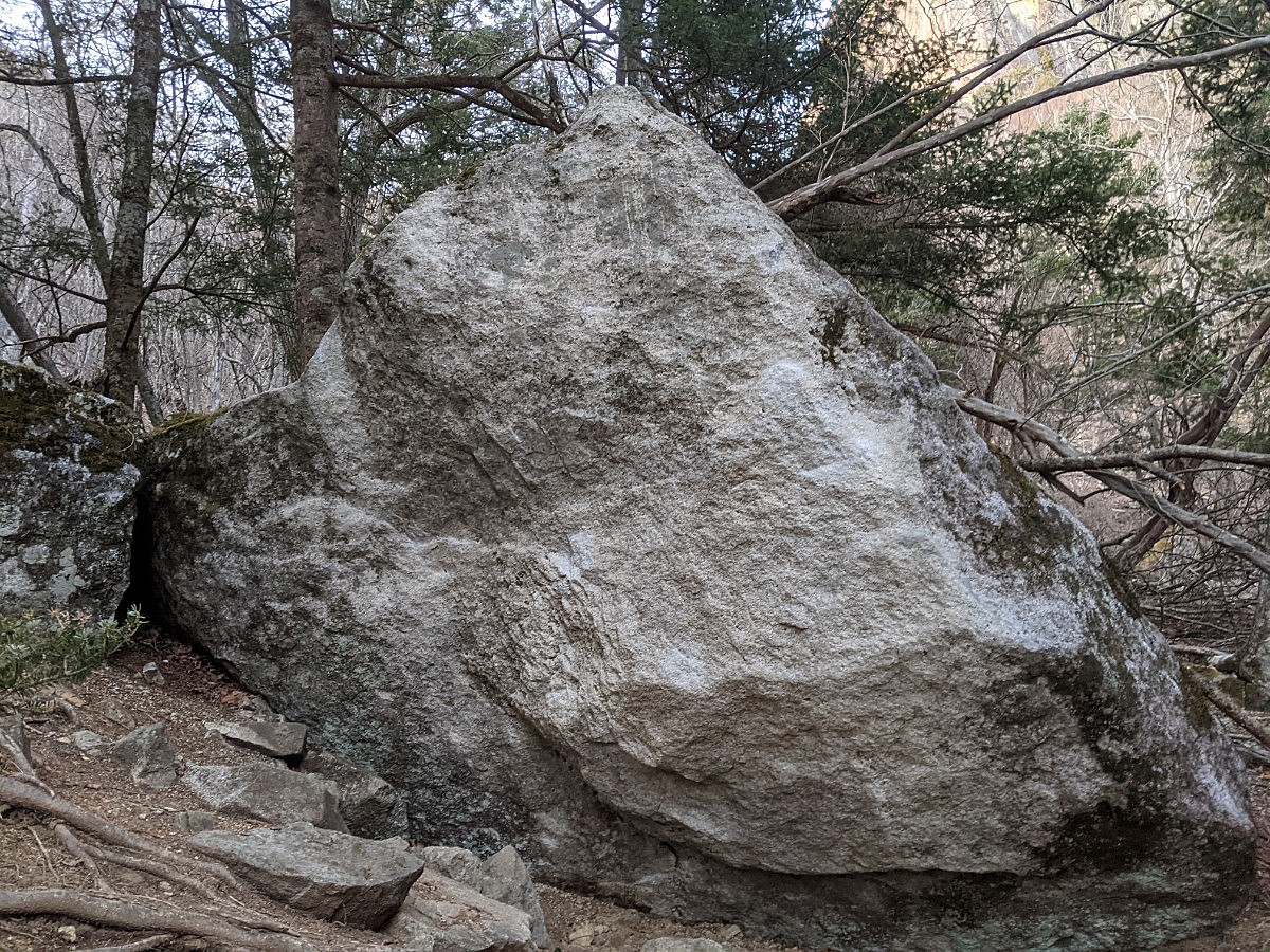
岩2
-
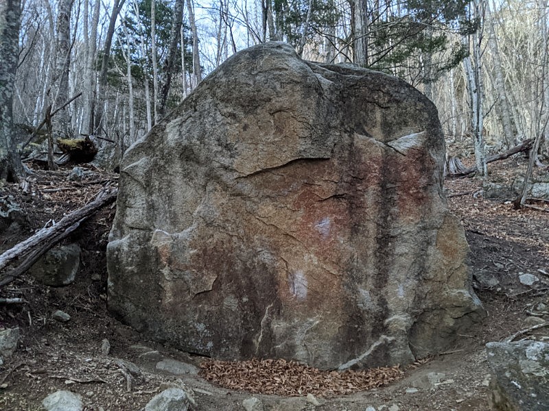
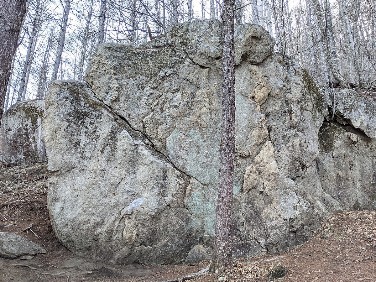
岩3
簡単
4~3級
2~1級
~三段

Loading...
動画
-
※自動抽出の動画
Comments
No comments yet.
Post CommentNearby Crags
ジャイアンとパンダ周辺
瑞牆山ボルダー
大面岩下エリア
35.89181
138.58151
0
15
0
0
0
ジャイアンとパンダ周辺
- 瑞牆山ボルダー / 大面岩下エリア
- タイプ別: B15
- 難易度別: E4 M7 H4
- 駐車場から: そこそこ 303.6683040430181637
限られた時間の岩
瑞牆山ボルダー
大面岩下エリア
35.89223
138.58186
0
3
0
0
0
限られた時間の岩
- 瑞牆山ボルダー / 大面岩下エリア
- タイプ別: B3
- 難易度別: H3
- 駐車場から: そこそこ 355.2283477604797416
背骨岩
瑞牆山ボルダー
山形県エリア
35.89255
138.57692
0
4
0
0
0
背骨岩
- 瑞牆山ボルダー / 山形県エリア
- タイプ別: B4
- 難易度別: E1 M3
- 駐車場から: 近め 63.3978523833610095
ツグミ岩・庭岩・キトラ岩
瑞牆山ボルダー
山形県エリア
35.89244
138.57662
0
9
0
0
0
ツグミ岩・庭岩・キトラ岩
- 瑞牆山ボルダー / 山形県エリア
- タイプ別: B9
- 難易度別: E3 M5 H1
- 駐車場から: 近め 44.4875078811291456
阿修羅
あしゅら
瑞牆山ボルダー
山形県エリア
35.89287
138.57691
1
9
0
0
0
阿修羅
1
- 瑞牆山ボルダー / 山形県エリア
- タイプ別: B9
- 難易度別: M3 H6
- 駐車場から: 近め 59.612082651884655
Riseの岩周辺
瑞牆山ボルダー
大面岩下エリア
35.89248
138.58258
0
5
0
0
0
Riseの岩周辺
- 瑞牆山ボルダー / 大面岩下エリア
- タイプ別: B5
- 難易度別: M3 H2
- 駐車場から: そこそこ 414.1862087038728156
生命力の岩とその周辺
瑞牆山ボルダー
大面岩下エリア
35.8926
138.58331
1
13
0
0
0
生命力の岩とその周辺
1
- 瑞牆山ボルダー / 大面岩下エリア
- タイプ別: B13
- 難易度別: M5 H8
- 駐車場から: 遠め 566.6651740135377468
ベシミハングと周辺の岩
瑞牆山ボルダー
大面岩下エリア
35.89238
138.58372
0
11
0
0
0
ベシミハングと周辺の岩
- 瑞牆山ボルダー / 大面岩下エリア
- タイプ別: B11
- 難易度別: E6 M1 H4
- 駐車場から: 遠め 598.8592911911950011
Loading...
×