情報提供
How to Use
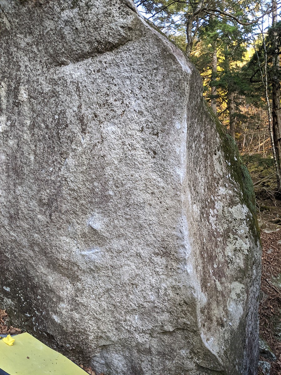
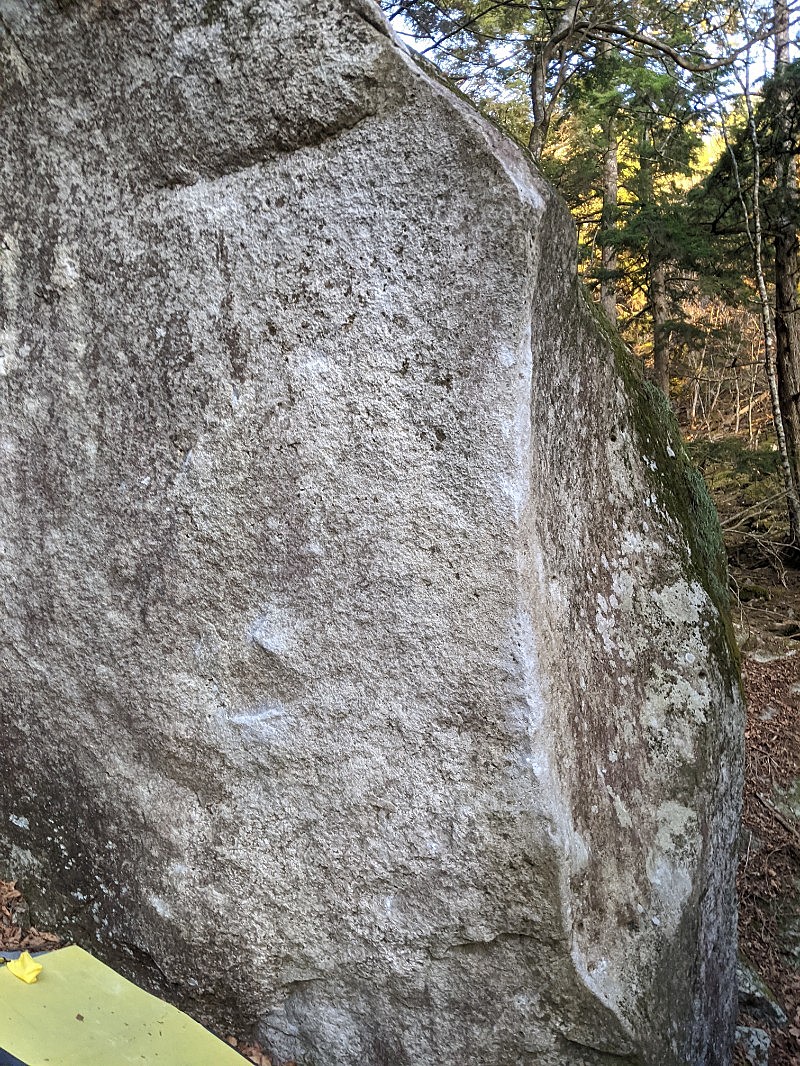
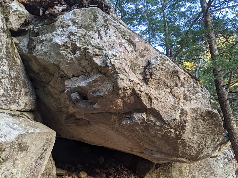
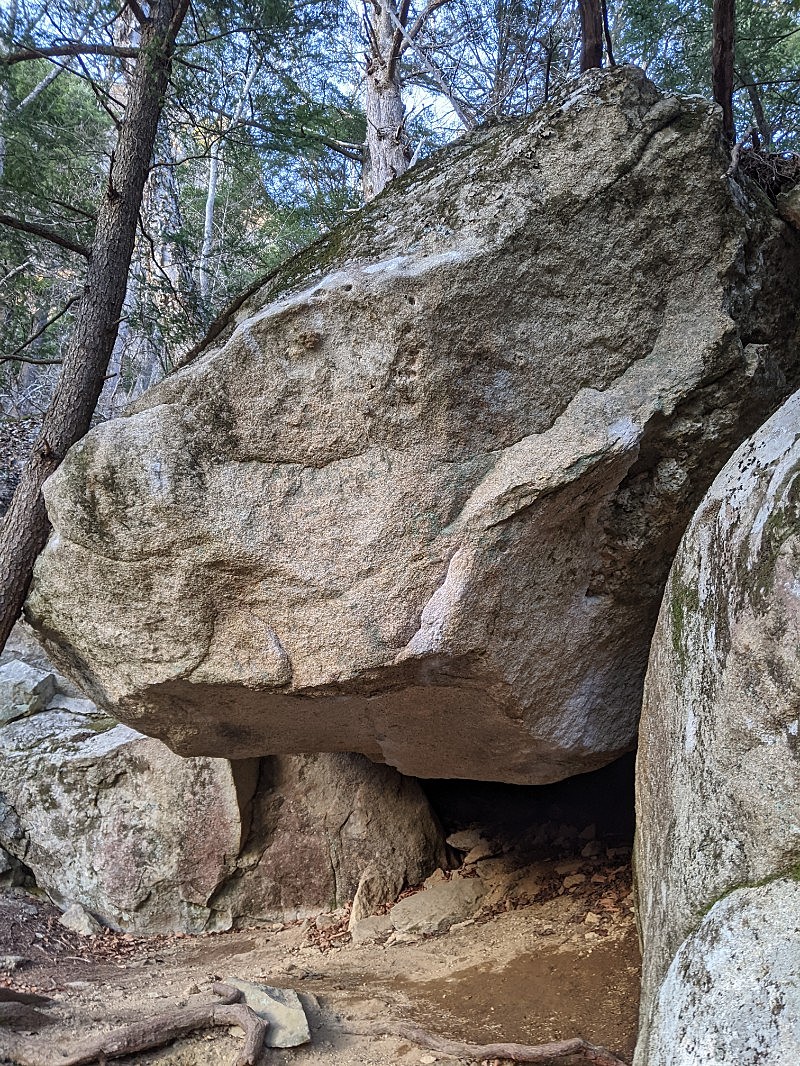
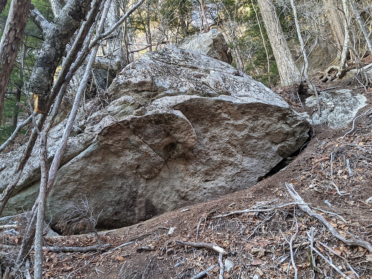
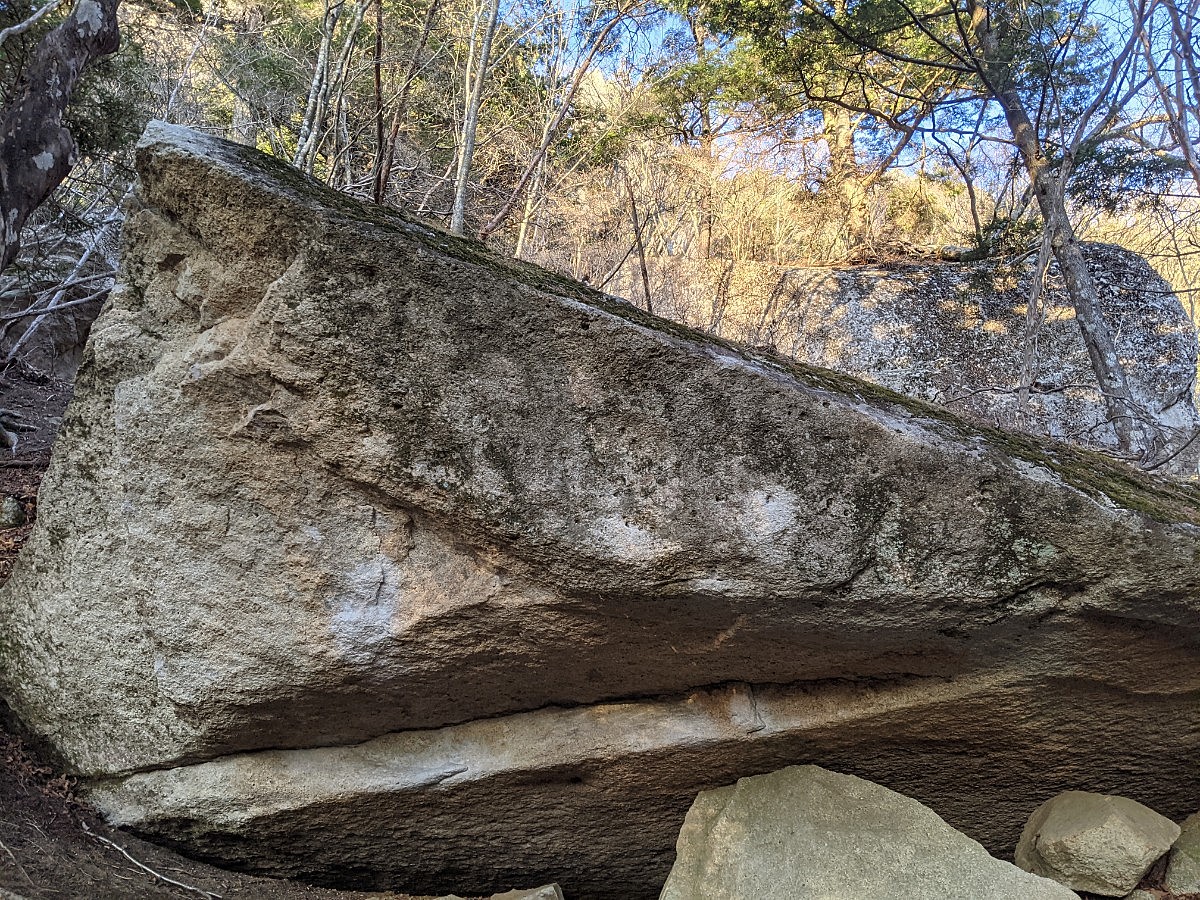
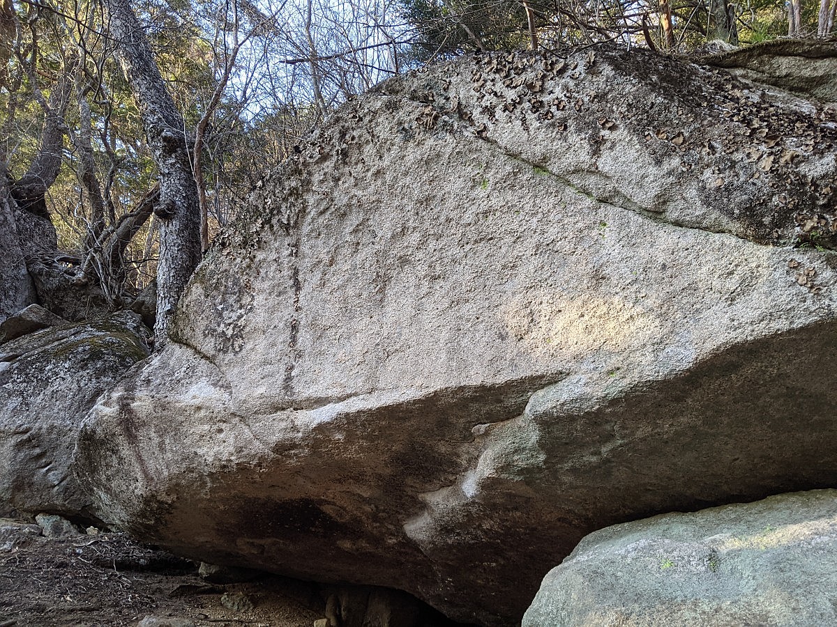
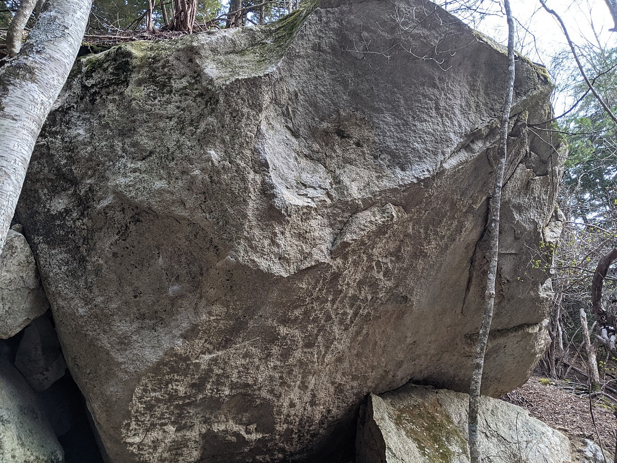
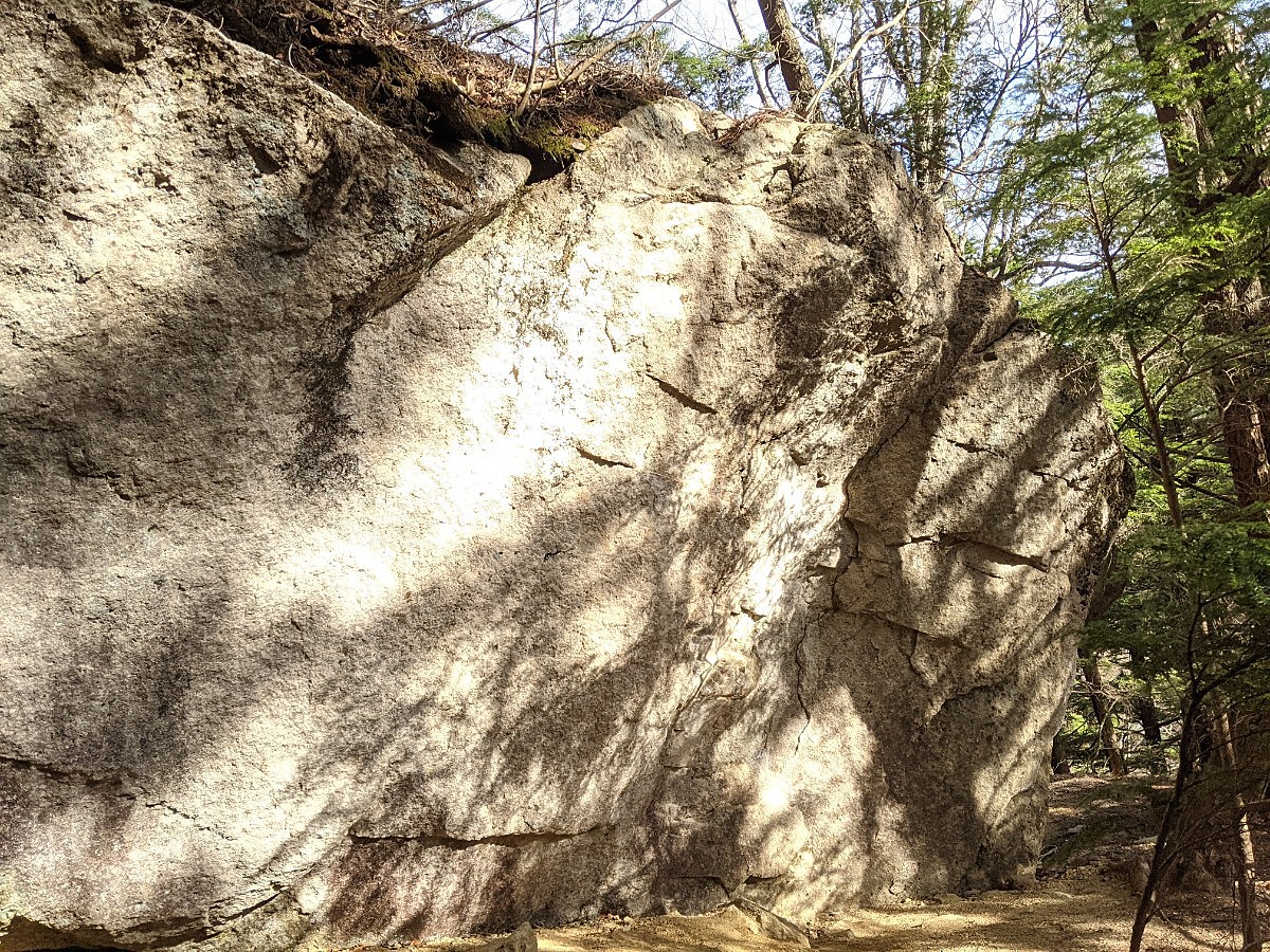
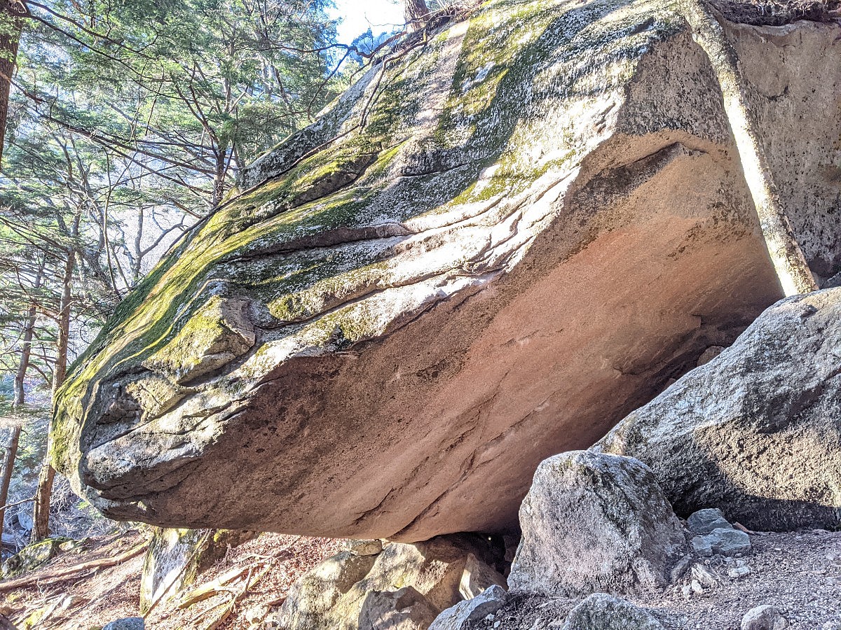
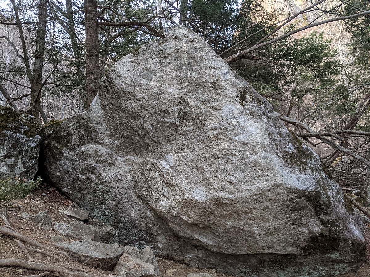
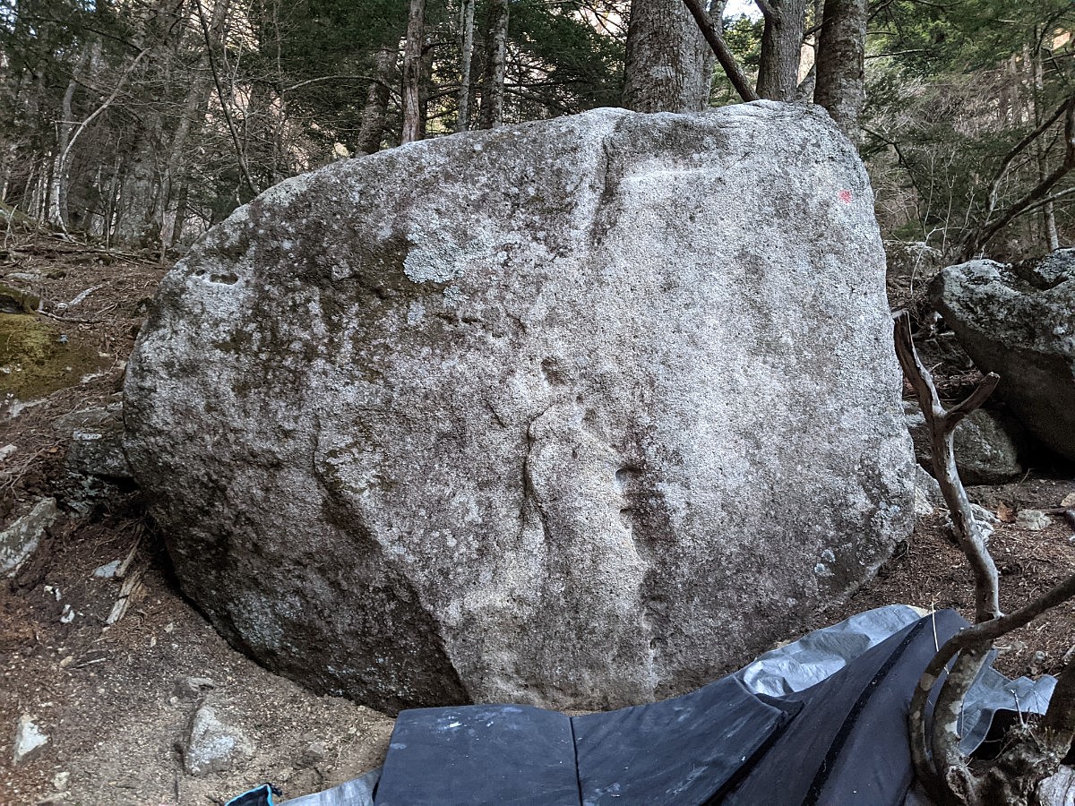
生命力の岩とその周辺
Basic Info
| Area Info | 山梨県 / 瑞牆山ボルダー 大面岩下エリア / |
|---|---|
| GPS Location | 35.8926,138.58331 |
| Elevation |
Approx. 1672 m
Parking Elevation Approx. 1471 m(Diff:201 m) |
| Distance from Parking | 940 m |
| Favorites |
1
|
Route Distribution
Tap the bar chart to view routes for each grade.
ボルダー(13 routes)
![]() よりお願い
よりお願い
このサイトは有志により開発・運営されています。
サーバ代等の運営費用は広告費や寄付で賄っていますが現状赤字運営です。
全画面の広告などは利用したくありませんし、できれば広告も設置したくありません。
便利・良いねと思ったら以下ボタンより寄付をしていただけると助かります。

Routes
Tap red lines to show route name and grade
-
生命力の岩
-
群晶の岩
-
簡単
4~3級
2~1級
~三段

Loading...
動画
-
※自動抽出の動画
-
※自動抽出の動画
-
※自動抽出の動画
-
※自動抽出の動画
-
※自動抽出の動画
Comments
No comments yet.
Post CommentNearby Crags
ブルーレットの岩と周辺
瑞牆山ボルダー
大面岩下エリア
35.89288
138.58351
0
4
0
0
0
ブルーレットの岩と周辺
- 瑞牆山ボルダー / 大面岩下エリア
- タイプ別: B4
- 難易度別: E3 M1
- 駐車場から: 遠め 635.0334765454019424
ベシミハングと周辺の岩
瑞牆山ボルダー
大面岩下エリア
35.89238
138.58372
0
11
0
0
0
ベシミハングと周辺の岩
- 瑞牆山ボルダー / 大面岩下エリア
- タイプ別: B11
- 難易度別: E6 M1 H4
- 駐車場から: 遠め 598.8592911911950011
空洞の岩と周辺
瑞牆山ボルダー
大面岩下エリア
35.89255
138.58398
0
8
0
0
0
空洞の岩と周辺
- 瑞牆山ボルダー / 大面岩下エリア
- タイプ別: B8
- 難易度別: E2 M4 H2
- 駐車場から: 遠め 661.5278375421779037
Riseの岩周辺
瑞牆山ボルダー
大面岩下エリア
35.89248
138.58258
0
5
0
0
0
Riseの岩周辺
- 瑞牆山ボルダー / 大面岩下エリア
- タイプ別: B5
- 難易度別: M3 H2
- 駐車場から: そこそこ 414.1862087038728156
不可視の岩
瑞牆山ボルダー
大面岩下エリア
35.89296
138.58409
0
1
0
0
0
不可視の岩
- 瑞牆山ボルダー / 大面岩下エリア
- タイプ別: B1
- 難易度別: M1
- 駐車場から: 遠め 755.2792079099399178
Decidedの岩と周辺
瑞牆山ボルダー
大面岩下エリア
35.89203
138.58421
0
6
0
0
0
Decidedの岩と周辺
- 瑞牆山ボルダー / 大面岩下エリア
- タイプ別: B6
- 難易度別: M4 H2
- 駐車場から: 遠め 723.484965462896856
限られた時間の岩
瑞牆山ボルダー
大面岩下エリア
35.89223
138.58186
0
3
0
0
0
限られた時間の岩
- 瑞牆山ボルダー / 大面岩下エリア
- タイプ別: B3
- 難易度別: H3
- 駐車場から: そこそこ 355.2283477604797416
ジャイアンとパンダ周辺
瑞牆山ボルダー
大面岩下エリア
35.89181
138.58151
0
15
0
0
0
ジャイアンとパンダ周辺
- 瑞牆山ボルダー / 大面岩下エリア
- タイプ別: B15
- 難易度別: E4 M7 H4
- 駐車場から: そこそこ 303.6683040430181637
Loading...
×